2010s Maps of Cibola County, New Mexico
Explore 297 historic maps of Cibola County from the 2010s. These maps offer a rare glimpse into what life looked like during the 2010s — showing old roads, neighborhoods, homes, and landmarks that have changed or disappeared over time.
Whether you're researching your family's past, planning a metal detecting trip, or studying how Cibola County's landscape evolved across the 2010s, these high-resolution maps are a powerful tool for exploring the history of this region.
- Focus on a specific era: All maps on this page are from the 2010s, giving you a focused view of this time period.
- See what’s changed: Compare century-old streets, trails, and buildings to today's modern landscape using overlays and satellite layers.
- Research with precision: Use these maps for genealogy, historical research, land use analysis, or educational projects.
- View, download, or print: Maps are fully viewable online in high resolution, and can be downloaded or printed for your own records.
Start exploring Cibola County's history through authentic maps from the 2010s. This is your window into the past.
Cibola County, NM maps
(297)- 2010 Map of Mesita De Yeso, 2010 Print
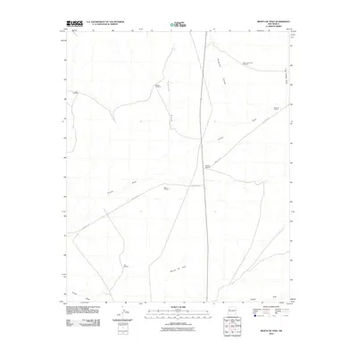 2010 Mesita De Yeso2010 Print · USGSCibola County ranching lands are captured in the early twenty-first century, showing the critical water network of the high desert. Researchers can locate named landmarks and water sources like High Lonesome Windmill, Trujillo Draw, and the prominent Mesita De Yeso.
 - 2010 Map of Trail Lake, 2010 Print
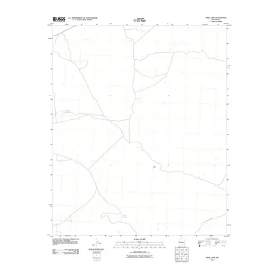 2010 Trail Lake2010 Print · USGSCibola County ranching lands are captured here at the start of the twenty-first century, showing the isolation of the New Mexico high desert. Researchers can trace the layout of local roads like County Rd-A076 and locate specific sites such as Tusas Corral and Trail Lake.
 - 2010 Map of Atarque Lake, 2010 Print
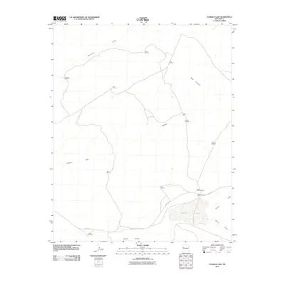 2010 Atarque Lake2010 Print · USGSCibola County ranching life is centered on vital water sources and seasonal draws in the early twenty-first century. Researchers can trace the heritage of local cattle operations through named landmarks like Beggs Cattle Company, Atarque Ranch, and the Franciscan Windmill.
 - 2010 Map of Veteado Mountain, 2010 Print
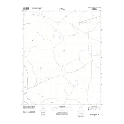 2010 Veteado Mountain2010 Print · USGSCibola County ranching country is documented here in the early twenty-first century, showing a remote landscape of volcanic peaks and ephemeral watercourses. Researchers can locate established outposts like McNab Ranch, the waters of Dutch Lake, and the landmark Veteado Mountain.
 - 2010 Map of Upper Galestina Canyon, 2010 Print
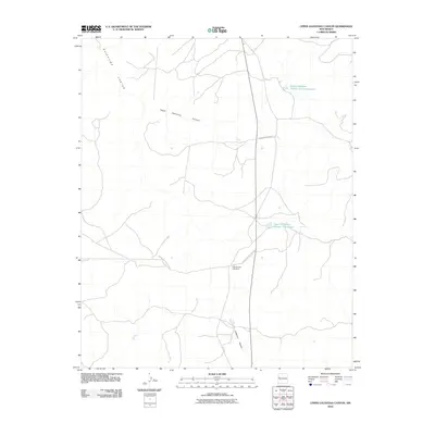 2010 Upper Galestina Canyon2010 Print · USGSMcKinley County's high-desert landscape is documented here in the early twenty-first century, highlighting essential water and transit infrastructure. Researchers can trace the routes of Indian Service Route 13 and locate the ECW Number 7 Windmill near several local reservoirs.
 - 2010 Map of Venadito Camp, 2010 Print
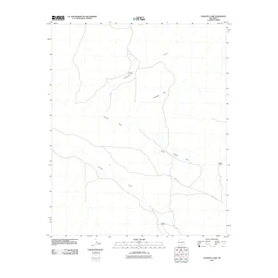 2010 Venadito Camp2010 Print · USGSCibola County ranching lands and desert drainages are documented here during the early twenty-first century. Genealogists and historians can trace the vital network of water resources and roads, including Venadito Camp, Sandoval Windmill, and County Rd 32.
 - 2010 Map of Fence Lake SW, 2010 Print
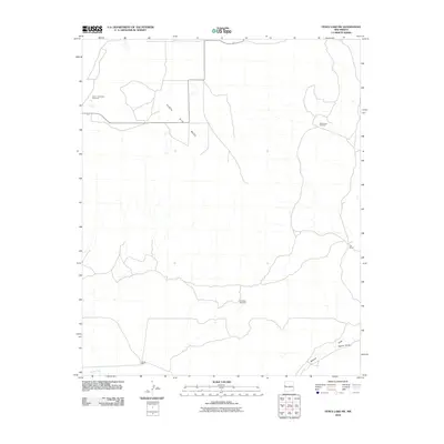 2010 Fence Lake SW2010 Print · USGSCibola County ranchlands are documented in this late-aughts survey of the high desert, showing the essential water infrastructure of the region. Researchers can trace land use through named ranch sites like Cox Ranch and remote water points like Semi Lonesome Windmill.
 - 2010 Map of York Ranch SE, 2010 Print
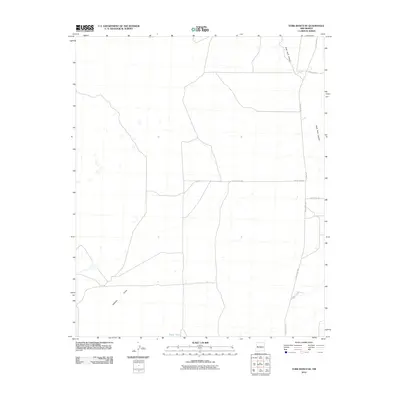 2010 York Ranch SE2010 Print · USGSCibola County ranch lands are documented here in the early twenty-first century, showing a remote landscape of canyons and cattle tanks. Local researchers can trace the routes of Pie Town Rd and Veteado Draw, or locate isolated landmarks like Elsies Tank.
 - 2010 Map of Chimney Hill, 2010 Print
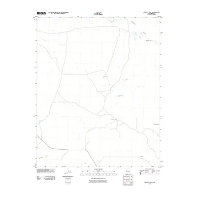 2010 Chimney Hill2010 Print · USGSThe Eastern Navajo Agency landscape at the turn of the decade is defined by its seasonal waters and high-desert terrain. Researchers can locate isolated settlements like Reed and Woodart or trace the geography of Peñasco Bluff and Chimney Lake.
 - 2010 Map of Cerro Alto, 2010 Print
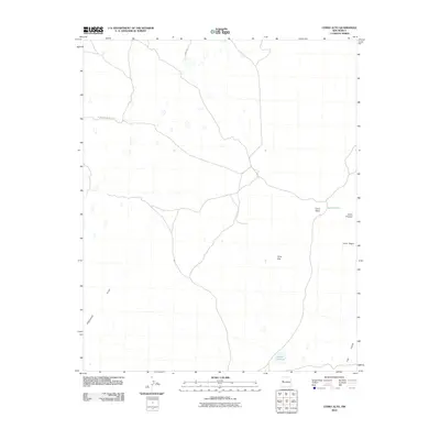 2010 Cerro Alto2010 Print · USGSThe Eastern Navajo Agency at the start of the 21st century reveals a landscape defined by isolated peaks and remote desert roads. Researchers can trace the routes of Indian Service Route 142 between landmarks like Cerro Alto and Laguna Colorada.
 - 2010 Map of Cerro Brillante, 2010 Print
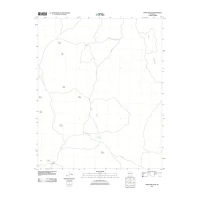 2010 Cerro Brillante2010 Print · USGSVolcanic peaks and vast lava fields define this New Mexico landscape during the early twenty-first century. Researchers can trace the network of County Rd 42 as it winds through El Malpais National Monument past Laguna Brillante.
 - 2010 Map of Shoemaker Canyon SE, 2010 Print
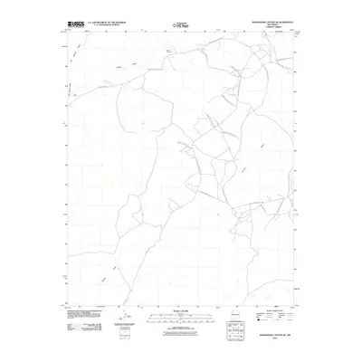 2010 Shoemaker Canyon SE2010 Print · USGSNavajo Agency lands are revealed in the early twenty-first century as a network of vital service routes and seasonal watercourses. Researchers can locate Mares Cemetery, the settlement at Los Pinitos, and the path of Terrero Draw.
 - 2010 Map of Fence Lake, 2010 Print
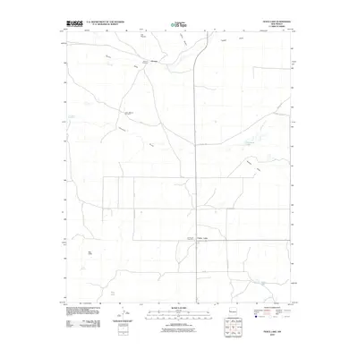 2010 Fence Lake2010 Print · USGSCibola County’s high desert landscape is documented here in the early twenty-first century, showing a region defined by scattered water sources and small settlements. Researchers can locate Atarque Cemetery, the Fence Lake Post Office, and landmarks like East Malpais Windmill.
 - 2010 Map of Ojo Caliente Reservoir, 2010 Print
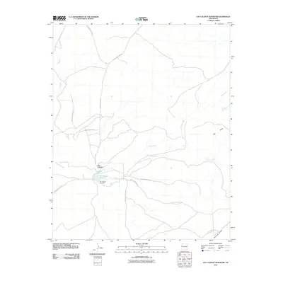 2010 Ojo Caliente Reservoir2010 Print · USGSOjo Caliente and its surrounding tribal lands are captured here during the first decade of the new millennium. Researchers can trace the vital water sources and travel corridors of the area, including Sacred Spring, the Ojo Caliente Lake Dam, and several Indian Service Routes.
 - 2010 Map of Cerro Pomo, 2010 Print
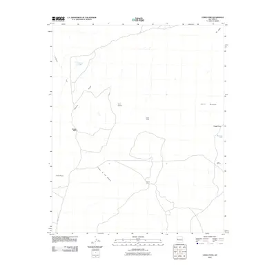 2010 Cerro Pomo2010 Print · USGSEastern Navajo Agency ranchlands and volcanic peaks come into focus in this late-aughts survey. Genealogists and local historians can locate remote outposts like Grassie Place, Mujeres Camp, and water sources such as Julian Windmill.
 - 2010 Map of La Rendija, 2010 Print
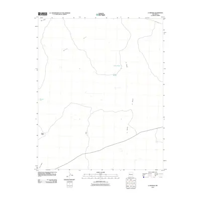 2010 La Rendija2010 Print · USGSThe Eastern Navajo Agency rangelands are seen here in the early twenty-first century, a landscape where water and distance dictate the rhythm of life. Genealogists and local historians can trace isolated landmarks like Julian Place, Luis Well, and the seasonal Laguna Macho.
 - 2010 Map of Moreno Hill, 2010 Print
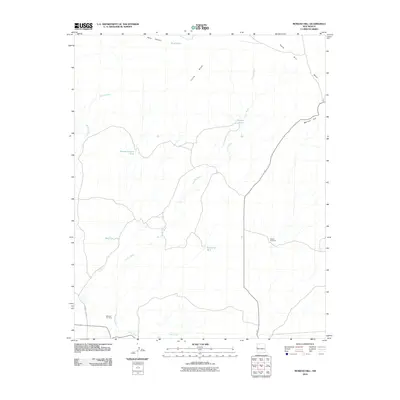 2010 Moreno Hill2010 Print · USGSCibola County ranching lands and high-desert drainage patterns are recorded here as they appeared in the early 2000s. Genealogists and local historians can locate Morelos Cemetery and trace the importance of water through features like Pueblo Windmill and Heffner Tank.
 - 2010 Map of Shoemaker Canyon, 2010 Print
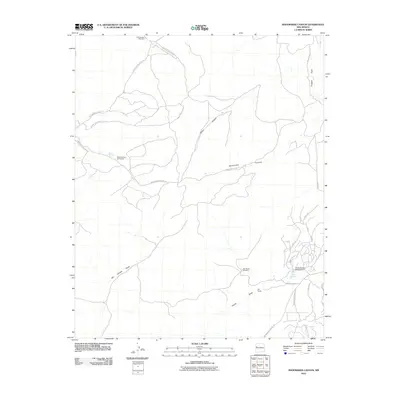 2010 Shoemaker Canyon2010 Print · USGSThe Eastern Navajo Agency in the early 2000s shows a landscape of deep canyons and seasonal draws. Trace the rural developments around Aragon Springs and Ojo Pueblo, or locate landmarks like the Candy Kitchen Ranch Airport.
 - 2010 Map of Mesa Gallina, 2010 Print
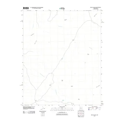 2010 Mesa Gallina2010 Print · USGSValencia County at the start of the twenty-first century reveals a high-desert terrain shaped by cattle ranching and seasonal waterways. Genealogists and historians can locate family-named sites like Yriart Ranch, Romero Ranch, and the remote Dead Cow Windmill.
 - 2010 Map of Crow Point, 2010 Print
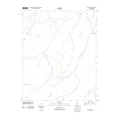 2010 Crow Point2010 Print · USGSCibola County mesa country is mapped here in the early twenty-first century, showing a landscape shaped by traditional routes and vital water sources. Researchers can trace the path of Cañon Largo and locate remote landmarks like Mesa Negra Spring and Crow Point Dam.
 - 2010 Map of Correo, 2010 Print
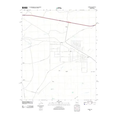 2010 Correo2010 Print · USGSThe high desert of Valencia County comes into focus in the early 2000s, where historic transportation routes meet traditional ranching lands. Researchers can trace the path of Old US 66 through Correo and locate family-named landmarks like Tranquilino Windmill and the Lower T X Ranch.
 - 2010 Map of Wild Horse Canyon, 2010 Print
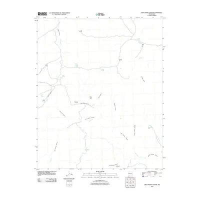 2010 Wild Horse Canyon2010 Print · USGSCibola County ranchlands are captured here in the early twenty-first century, showing the critical water infrastructure of the high desert. Researchers can trace family-named sites like Woods Ranch and Mertz Ranch alongside essential landmarks like Dog Windmill and Techado Spring.
 - 2010 Map of Blue Mesa, 2010 Print
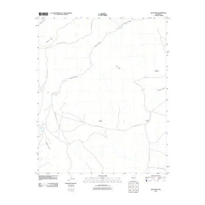 2010 Blue Mesa2010 Print · USGSCibola County at the turn of the decade remains a vast landscape of mesas and canyons defined by tribal infrastructure. Researchers can trace the path of Acoma Creek through the terrain or locate remote water sources like Indian Lake and Butterfly Spring.
 - 2010 Map of Cebollita Peak, 2010 Print
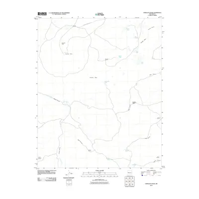 2010 Cebollita Peak2010 Print · USGSHigh mesa country in Cibola County is documented here during the early twenty-first century, showing a landscape defined by ranching and remote springs. Genealogists and historians can locate Hughes Place and trace water sources like Cebolla Spring and Wildcat Windmill.
 - 2010 Map of Cerro Verde, 2010 Print
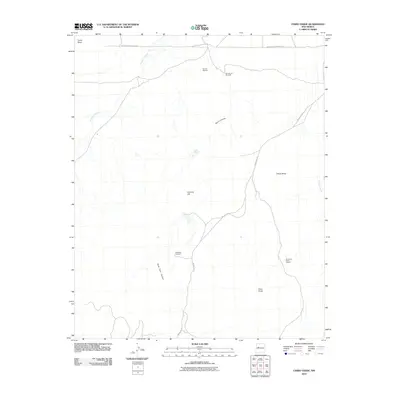 2010 Cerro Verde2010 Print · USGSCibola County ranchlands and geologic features are meticulously documented in the early 2010s. Researchers can locate remote mineral sites like the Sonora Deposit and essential water infrastructure such as Rock Tank Windmill.
Showing maps 1-25 of 297
Top cities of Cibola County
Frequently asked questions
- What are the different types of historical maps available for Cibola County?
- What is the oldest map of Cibola County?
- Where can I purchase historical maps of Cibola County for my home or office?
- Where can I download high-res historical maps of Cibola County?
- Are there historical topographic maps available for Cibola County?
- Is there historical aerial imagery available for Cibola County?
- Where are historical maps of Cibola County sourced from?