2020s Maps of Cibola County, New Mexico
Explore 194 historic maps of Cibola County from the 2020s. These maps offer a rare glimpse into what life looked like during the 2020s — showing old roads, neighborhoods, homes, and landmarks that have changed or disappeared over time.
Whether you're researching your family's past, planning a metal detecting trip, or studying how Cibola County's landscape evolved across the 2020s, these high-resolution maps are a powerful tool for exploring the history of this region.
- Focus on a specific era: All maps on this page are from the 2020s, giving you a focused view of this time period.
- See what’s changed: Compare century-old streets, trails, and buildings to today's modern landscape using overlays and satellite layers.
- Research with precision: Use these maps for genealogy, historical research, land use analysis, or educational projects.
- View, download, or print: Maps are fully viewable online in high resolution, and can be downloaded or printed for your own records.
Start exploring Cibola County's history through authentic maps from the 2020s. This is your window into the past.
Cibola County, NM maps
(194)- 2020 Map of Chimney Hill, 2020 Print
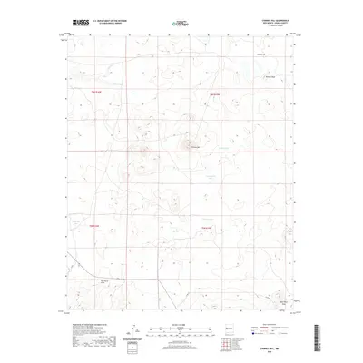 2020 Chimney Hill2020 Print · USGSCovers Cibola County, including Eastern Navajo Agency, United States, and other nearby areas
 - 2020 Map of Cerro Prieto, 2020 Print
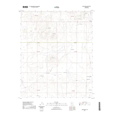 2020 Cerro Prieto2020 Print · USGSCovers Cibola County, including Catron County, United States, and other nearby areas
 - 2020 Map of Fence Lake SW, 2020 Print
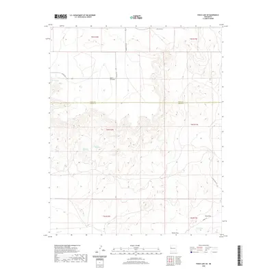 2020 Fence Lake SW2020 Print · USGSCovers Cibola County, including Catron County, United States, and other nearby areas
 - 2020 Map of Shoemaker Canyon SE, 2020 Print
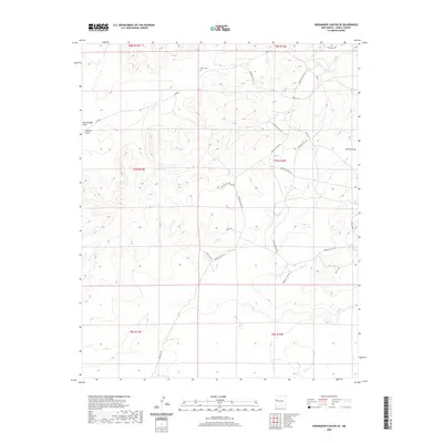 2020 Shoemaker Canyon SE2020 Print · USGSCovers Cibola County, including Eastern Navajo Agency, United States, and other nearby areas
 - 2020 Map of York Ranch SE, 2020 Print
 2020 York Ranch SE2020 Print · USGSCovers Cibola County, including Catron County, United States, and other nearby areas
 - 2020 Map of Ice Caves, 2020 Print
 2020 Ice Caves2020 Print · USGSCovers Cibola County, including United States, New Mexico, and other nearby areas
 - 2020 Map of Cantaralo Spring, 2020 Print
 2020 Cantaralo Spring2020 Print · USGSCovers Cibola County, including United States, New Mexico, and other nearby areas
 - 2020 Map of Atarque Lake, 2020 Print
 2020 Atarque Lake2020 Print · USGSCovers Cibola County, including United States, New Mexico, and other nearby areas
 - 2020 Map of York Ranch, 2020 Print
 2020 York Ranch2020 Print · USGSCovers Cibola County, including York Ranch, United States, and other nearby areas
 - 2020 Map of Rincon Hondo, 2020 Print
 2020 Rincon Hondo2020 Print · USGSCovers Cibola County, including United States, New Mexico, and other nearby areas
 - 2020 Map of Cerro Hueco, 2020 Print
 2020 Cerro Hueco2020 Print · USGSCovers Cibola County, including United States, New Mexico, and other nearby areas
 - 2020 Map of Cerro Brillante, 2020 Print
 2020 Cerro Brillante2020 Print · USGSCovers Cibola County, including Eastern Navajo Agency, United States, and other nearby areas
 - 2020 Map of Ojo Caliente Reservoir, 2020 Print
 2020 Ojo Caliente Reservoir2020 Print · USGSCovers Cibola County, including Ojo Caliente, McKinley County, and other nearby areas
 - 2020 Map of Upper Galestina Canyon, 2020 Print
 2020 Upper Galestina Canyon2020 Print · USGSCovers Cibola County, including McKinley County, United States, and other nearby areas
 - 2020 Map of Moreno Hill, 2020 Print
 2020 Moreno Hill2020 Print · USGSCovers Cibola County, including Catron County, United States, and other nearby areas
 - 2020 Map of Mesita De Yeso, 2020 Print
 2020 Mesita De Yeso2020 Print · USGSCovers Cibola County, including United States, New Mexico, and other nearby areas
 - 2020 Map of La Rendija, 2020 Print
 2020 La Rendija2020 Print · USGSCovers Cibola County, including Eastern Navajo Agency, Julian Place, and other nearby areas
 - 2020 Map of Trail Lake, 2020 Print
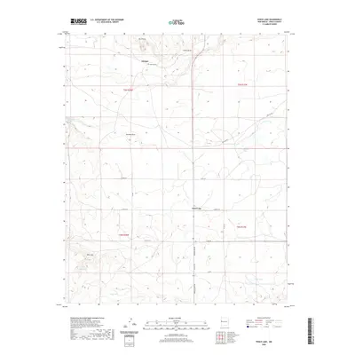
 2020 Trail Lake2020 Print · USGSCovers Cibola County, including Catron County, United States, and other nearby areas
 - 2020 Map of Red Lake Mission, 2020 Print
 2020 Red Lake Mission2020 Print · USGSCovers Cibola County, including Eastern Navajo Agency, United States, and other nearby areas
 - 2020 Map of Cerro Alto, 2020 Print
 2020 Cerro Alto2020 Print · USGSCovers Cibola County, including Eastern Navajo Agency, United States, and other nearby areas
 - 2020 Map of Veteado Mountain, 2020 Print
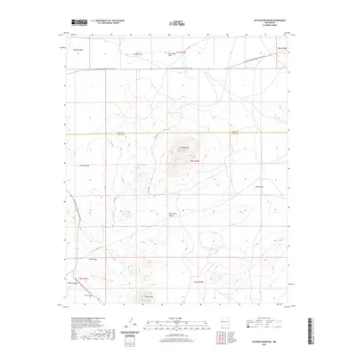 2020 Veteado Mountain2020 Print · USGSCovers Cibola County, including Catron County, United States, and other nearby areas
 - 2020 Map of Fence Lake, 2020 Print
 2020 Fence Lake2020 Print · USGSCovers Cibola County, including Fence Lake, Atarque, and other nearby areas
 - 2020 Map of The Dyke, 2020 Print
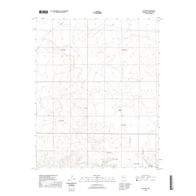 2020 The Dyke2020 Print · USGSCovers Cibola County, including Tingle, United States, and other nearby areas
 - 2020 Map of Venadito Camp, 2020 Print
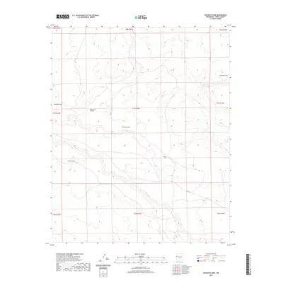 2020 Venadito Camp2020 Print · USGSCovers Cibola County, including United States, New Mexico, and other nearby areas
 - 2020 Map of Techado, 2020 Print
 2020 Techado2020 Print · USGSCovers Cibola County, including Techado, Catron County, and other nearby areas
Showing maps 1-25 of 194
Top cities of Cibola County
Frequently asked questions
- What are the different types of historical maps available for Cibola County?
- What is the oldest map of Cibola County?
- Where can I purchase historical maps of Cibola County for my home or office?
- Where can I download high-res historical maps of Cibola County?
- Are there historical topographic maps available for Cibola County?
- Is there historical aerial imagery available for Cibola County?
- Where are historical maps of Cibola County sourced from?