1980s Maps of Socorro County, New Mexico
Explore 57 historic maps of Socorro County from the 1980s. These maps offer a rare glimpse into what life looked like during the 1980s — showing old roads, neighborhoods, homes, and landmarks that have changed or disappeared over time.
Whether you're researching your family's past, planning a metal detecting trip, or studying how Socorro County's landscape evolved across the 1980s, these high-resolution maps are a powerful tool for exploring the history of this region.
- Focus on a specific era: All maps on this page are from the 1980s, giving you a focused view of this time period.
- See what’s changed: Compare century-old streets, trails, and buildings to today's modern landscape using overlays and satellite layers.
- Research with precision: Use these maps for genealogy, historical research, land use analysis, or educational projects.
- View, download, or print: Maps are fully viewable online in high resolution, and can be downloaded or printed for your own records.
Start exploring Socorro County's history through authentic maps from the 1980s. This is your window into the past.
Socorro County, NM maps
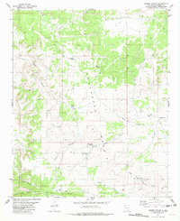
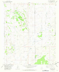
(57)- 1980 Map of Corona, 1981 Print
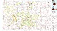 1980 Corona1981 Print · USGSThe high-desert ranching and rail country of Lincoln County is documented here during the early eighties. Genealogists and local historians can trace the Southern Pacific line through Corona, locate the Old Railroad Grade, and find remote outposts like Claunch and Gallinas.
 - 1981 Map of Fairview Mountain
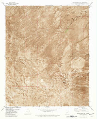
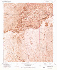
 1981 Fairview Mountain1981 Print · USGSSierra and Socorro counties are shown during the early eighties, largely dominated by the restricted White Sands Missile Range. Researchers can trace old desert improvements and land use through Martin Well, multiple prospect sites, and unidentified Ruins.
 - 1981 Map of Progresso SW
 1981 Progresso SW1981 Print · USGSHigh desert ranching in Torrance County comes into focus during the early eighties as the borders of three counties meet. Genealogists and historians can locate isolated ranching outposts like Atkinson Ranch and essential water features such as Wire Lake or Three Way Well.
 - 1981 Map of Polecat Draw
 1981 Polecat Draw1981 Print · USGSCentral New Mexico ranching land in the early 1980s reveals a landscape of necessity along the Socorro and Lincoln County border. Researchers can trace vital water sources like Johnson Tank and Sacate Well amidst the winding paths of Polecat Draw.
 - 1981 Map of Black Hill
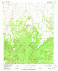 1981 Black Hill1981 Print · USGSCatron County ranching country and the high terrain of the Apache National Forest are shown here as they appeared in the early eighties. Researchers can trace land use through family-named landmarks like Hardcastle Gap and remote water sources including Malpais Spring and the Johnson Basin Windmill.
 - 1981 Map of Greens Baber Well
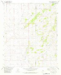
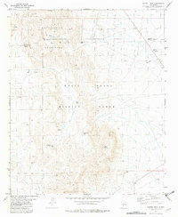
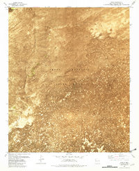
 1981 Greens Baber Well1981 Print · USGSSocorro County was home to critical military and logistical operations in the early 1980s. Genealogists and historians can trace desert water sources like Greens Baber Well and isolated markers such as the Vorma Site and Bunker Site.2 unique versions available
 - 1981 Map of Little Black Peak
 1981 Little Black Peak1981 Print · USGSThe Tularosa Basin in the early 1980s reveals a harsh yet managed landscape centered on the massive basalt flows of The Malpais. Local historians can trace ranching infrastructure through family-named sites like Brock Ranch and critical water points such as Duck Lake and the Malpais Windmill.2 unique versions available
 - 1981 Map of Granjean Well
 1981 Granjean Well1981 Print · USGSThe restricted high desert of Socorro County is shown in the early eighties as the White Sands Missile Range continues to shape the local landscape. Researchers can locate remote outposts like Sulf Site and water sources such as Granjean Well and Tecolote Well.
 - 1981 Map of Tularosa
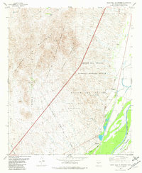
 1981 Tularosa1981 Print · USGSThe high-desert basin around Tularosa is captured here in the early eighties as a hub of military and rail activity. Trace the Southern Pacific line past Three Rivers or explore the vast White Sands Missile Range.2 unique versions available
 - 1981 Map of Carrizozo
 1981 Carrizozo1981 Print · USGSHigh desert plains meet the timbered slopes of the Capitan and Jicarilla Mountains in the early 1980s. Genealogists and historians can trace rail-side towns like Carrizozo and old mining sites such as the American Mine and the settlement of White Oaks.2 unique versions available
 - 1981 Map of Foster Well
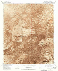
 1981 Foster Well1981 Print · USGSSocorro County, New Mexico, appears here in the early eighties as a restricted landscape of military infrastructure and desert ranching. Researchers can trace the layout of the White Sands Missile Range and locate family-named water sources like Foster Well and Pole Russell Tank.2 unique versions available
 - 1981 Map of Blakemore Well
 1981 Blakemore Well1981 Print · USGSSocorro County in the early eighties is revealed as a remote landscape of volcanic flows and military infrastructure. Researchers can locate specific desert outposts and water sources like Blakemore Well, the Harriet Site, and the Observation Tower.
 - 1981 Map of Claunch
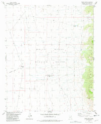
 1981 Claunch1981 Print · USGSThe high ranching country of Central New Mexico is captured here in the early eighties. Genealogists and historians can trace the remote settlement of Claunch and landmark water features like Crabtree Tank and Maxine Tank across the county line.
 - 1981 Map of Broken Back Crater, 1982 Print
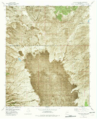
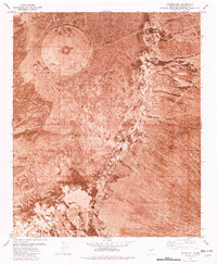
 1981 Broken Back Crater1982 Print · USGSThe high desert of Socorro County is shown here in the early eighties, where volcanic landmarks meet restricted military territory. Researchers can trace land use patterns through Black Hills Ranch and dozens of water catchments like Big Antelope Tank and Crater Wells.2 unique versions available
 - 1981 Map of Salinas Peak NW, 1982 Print
 1981 Salinas Peak NW1982 Print · USGSSierra and Socorro counties are captured during the early eighties within the restricted boundary of the White Sands Missile Range. Researchers can trace the desert's infrastructure through ranching remnants and sites like the Marcial Site, School Site, and Baca Well.
 - 1981 Map of Cooper Canyon, 1982 Print
 1981 Cooper Canyon1982 Print · USGSSocorro County ranching and mining land is documented in the early eighties as the high desert landscape was managed for water and mineral resources. Researchers can trace land improvements and industry through features like the Naulda Mine, School Section Windmill, and Forest Well Tank.
 - 1981 Map of Trinity Site, 1982 Print
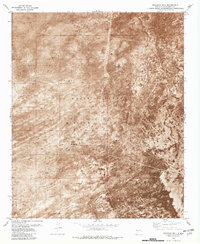
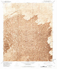
 1981 Trinity Site1982 Print · USGSThis early 1980s survey covers the secluded grounds of the White Sands Missile Range in Socorro County. Researchers can pinpoint the Trinity Site Historical Landmark and see the location of the Observation Towers Millars Watch Site.
 - 1981 Map of San Antonio, 1982 Print
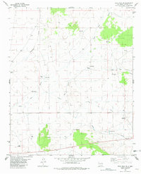
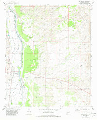 1981 San Antonio1982 Print · USGSSocorro County’s river valley is captured here in the early eighties, showcasing a landscape of complex irrigation and railroad history. Researchers can trace the Atchison Topeka and Santa Fe through San Antonio, locate Gallegos Well, and find an Old Railroad Grade in the desert hills.
 - 1981 Map of Fuller Ranch, 1982 Print
 1981 Fuller Ranch1982 Print · USGSThe high desert of New Mexico appears here in the early 1980s, showcasing the intersection of private ranching and restricted military zones. Researchers can locate remote cattle infrastructure like Fuller Ranch, AAA Tank, and Crater Well amid the northern Lava flows.2 unique versions available
 - 1981 Map of Dulce Draw, 1982 Print
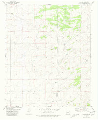
 1981 Dulce Draw1982 Print · USGSSocorro and Lincoln County ranch lands are documented here in the early 1980s, showing a remote landscape shaped by water management. Genealogists and historians can trace livestock operations through named landmarks like Dulce Windmill, Wilson Tank, and Largo Canyon.
 - 1981 Map of Indian Well Wilderness, 1982 Print
 1981 Indian Well Wilderness1982 Print · USGSSocorro County during the early 1980s reveals the complex desert irrigation systems and protected lands of the Rio Grande valley. Local historians can trace the rail lines of the Atchison Topeka and Santa Fe past Elmendorf and the Indian Well Wilderness.
 - 1981 Map of Harriet Ranch, 1982 Print
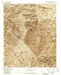
 1981 Harriet Ranch1982 Print · USGSIn the early 1980s, the volcanic reaches of Socorro County reveal a landscape shaped by ranching and geology. Researchers can trace remote infrastructure like Harriet Ranch and Malpais Well, alongside distinctive geological features including several Caves.
 - 1981 Map of Wrye Peak NW, 1982 Print
 1981 Wrye Peak NW1982 Print · USGSSocorro County ranchlands are captured here in the early 1980s, documenting a remote landscape focused on water and livestock. Researchers can trace historic water rights and desert outposts like Bingham PO, White Well, and Glover Tank across this arid terrain.
 - 1981 Map of Capitol Peak, 1982 Print
 1981 Capitol Peak1982 Print · USGSHigh desert peaks and military restricted zones meet in the early 1980s at the Sierra and Socorro county line. Researchers can trace the intersection of ranching and defense history through landmarks like Mockingbird Gap Mine, Burris Well, and the NW 70 Site.
 - 1981 Map of Pope, 1982 Print
 1981 Pope1982 Print · USGSThis early 1980s orthophotomap of Socorro County reveals a remote high-desert corridor along the historic Atchison Topeka and Santa Fe railroad line. Genealogists and historians can trace the isolated settlement of Pope and ranching infrastructure like Hard Luck Crossing and Santa Fe Well.
Showing maps 1-25 of 57
Top cities of Socorro County
Frequently asked questions
- What are the different types of historical maps available for Socorro County?
- What is the oldest map of Socorro County?
- Where can I purchase historical maps of Socorro County for my home or office?
- Where can I download high-res historical maps of Socorro County?
- Are there historical topographic maps available for Socorro County?
- Is there historical aerial imagery available for Socorro County?
- Where are historical maps of Socorro County sourced from?