2020s Maps of Socorro County, New Mexico
Explore 266 historic maps of Socorro County from the 2020s. These maps offer a rare glimpse into what life looked like during the 2020s — showing old roads, neighborhoods, homes, and landmarks that have changed or disappeared over time.
Whether you're researching your family's past, planning a metal detecting trip, or studying how Socorro County's landscape evolved across the 2020s, these high-resolution maps are a powerful tool for exploring the history of this region.
- Focus on a specific era: All maps on this page are from the 2020s, giving you a focused view of this time period.
- See what’s changed: Compare century-old streets, trails, and buildings to today's modern landscape using overlays and satellite layers.
- Research with precision: Use these maps for genealogy, historical research, land use analysis, or educational projects.
- View, download, or print: Maps are fully viewable online in high resolution, and can be downloaded or printed for your own records.
Start exploring Socorro County's history through authentic maps from the 2020s. This is your window into the past.
Socorro County, NM maps
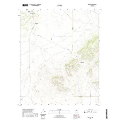
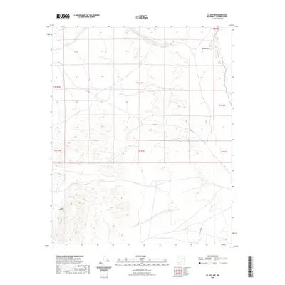
(266)- 2020 Map of Dulce Draw, 2020 Print
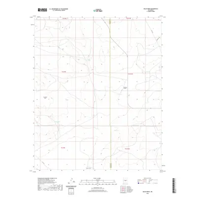 2020 Dulce Draw2020 Print · USGSCovers Socorro County, including Lincoln County, United States, and other nearby areas
 - 2020 Map of Little Black Peak, 2020 Print
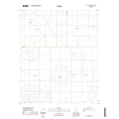 2020 Little Black Peak2020 Print · USGSCovers Socorro County, including Lincoln County, United States, and other nearby areas
 - 2020 Map of Claunch, 2020 Print
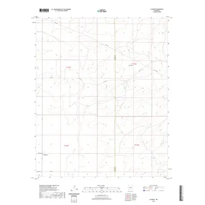 2020 Claunch2020 Print · USGSCovers Socorro County, including Claunch, Lincoln County, and other nearby areas
 - 2020 Map of Becker SW, 2020 Print
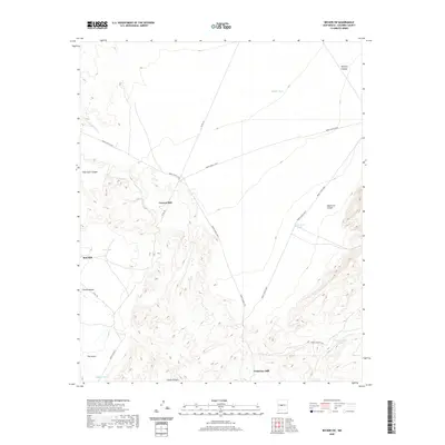 2020 Becker SW2020 Print · USGSCovers Socorro County, including Canyon Mill, United States, and other nearby areas
 - 2020 Map of Rayo Hills, 2020 Print
 2020 Rayo Hills2020 Print · USGSCovers Socorro County, including Torrance County, United States, and other nearby areas
 - 2020 Map of Chupadera Spring, 2020 Print
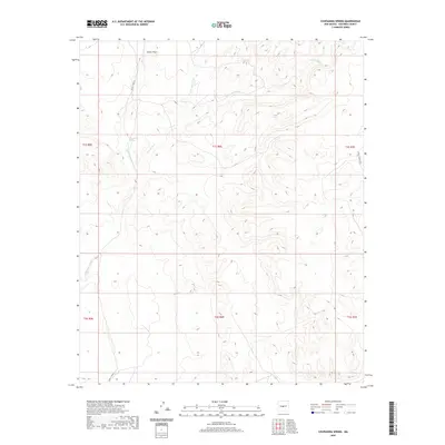 2020 Chupadera Spring2020 Print · USGSCovers Socorro County, including United States, New Mexico, and other nearby areas
 - 2020 Map of San Acacia, 2020 Print
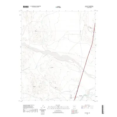 2020 San Acacia2020 Print · USGSCovers Socorro County, including San Acacia, Alamillo, and other nearby areas
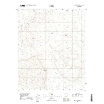
 - 2020 Map of Sierra De La Cruz, 2020 Print
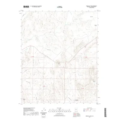 2020 Sierra De La Cruz2020 Print · USGSCovers Socorro County, including United States, New Mexico, and other nearby areas
 - 2020 Map of Chupadera, 2020 Print
 2020 Chupadera2020 Print · USGSCovers Socorro County, including Chupadera, Torrance County, and other nearby areas
 - 2020 Map of Turkey Ridge SW, 2020 Print
 2020 Turkey Ridge SW2020 Print · USGSCovers Socorro County, including United States, New Mexico, and other nearby areas
 - 2020 Map of Bustos Well, 2020 Print
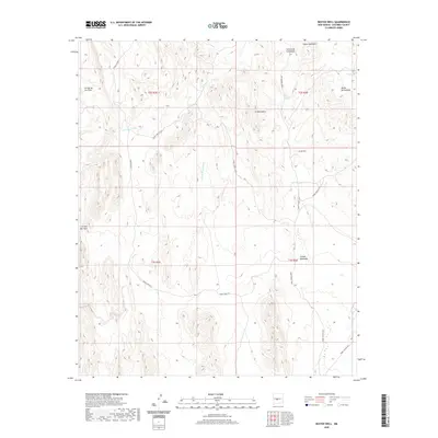 2020 Bustos Well2020 Print · USGSCovers Socorro County, including United States, New Mexico, and other nearby areas
 - 2020 Map of Abeytas, 2020 Print
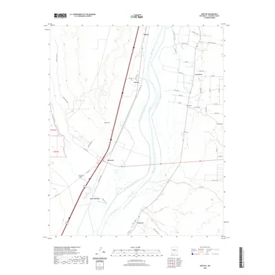 2020 Abeytas2020 Print · USGSCovers Socorro County, including San Francisco, Las Nutrias, and other nearby areas
 - 2020 Map of Cat Mesa, 2020 Print
 2020 Cat Mesa2020 Print · USGSCovers Socorro County, including United States, New Mexico, and other nearby areas
 - 2020 Map of La Joya NW, 2020 Print
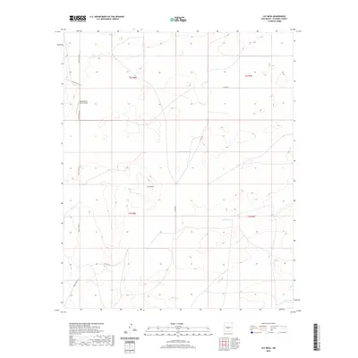
 2020 La Joya NW2020 Print · USGSCovers Socorro County, including United States, New Mexico, and other nearby areas
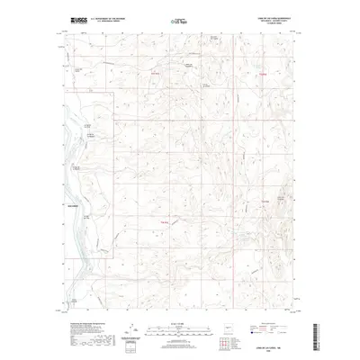
 - 2020 Map of Lemitar, 2020 Print
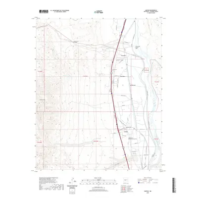 2020 Lemitar2020 Print · USGSCovers Socorro County, including Polvadera, Chamizal, and other nearby areas
 - 2020 Map of Sierra Larga South, 2020 Print
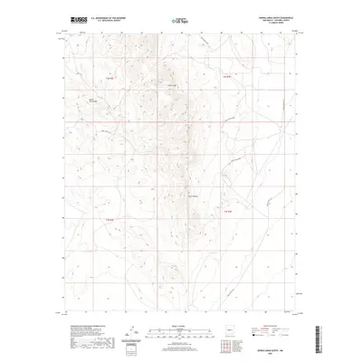 2020 Sierra Larga South2020 Print · USGSCovers Socorro County, including United States, New Mexico, and other nearby areas
 - 2020 Map of Cerro Montoso, 2020 Print
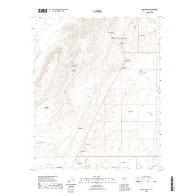 2020 Cerro Montoso2020 Print · USGSCovers Socorro County, including United States, New Mexico, and other nearby areas
 - 2020 Map of Sierra Larga North, 2020 Print
 2020 Sierra Larga North2020 Print · USGSCovers Socorro County, including United States, New Mexico, and other nearby areas
 - 2020 Map of Turkey Ridge, 2020 Print
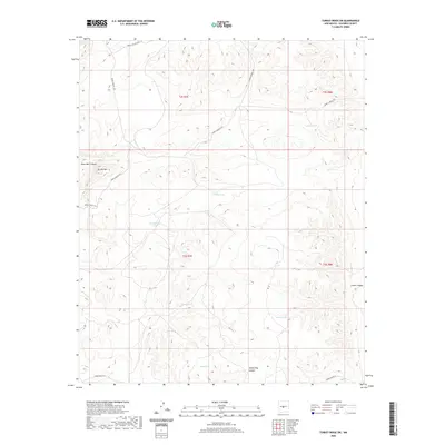
 2020 Turkey Ridge2020 Print · USGSCovers Socorro County, including United States, New Mexico, and other nearby areas
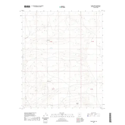
 - 2020 Map of Loma De Las Canas, 2020 Print
 2020 Loma De Las Canas2020 Print · USGSCovers Socorro County, including Socorro, United States, and other nearby areas
 - 2020 Map of Mesa Del Yeso, 2020 Print
 2020 Mesa Del Yeso2020 Print · USGSCovers Socorro County, including United States, New Mexico, and other nearby areas
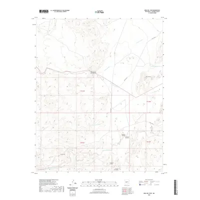
 - 2020 Map of Becker, 2020 Print
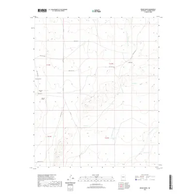
 2020 Becker2020 Print · USGSCovers Socorro County, including Becker, Valencia County, and other nearby areas
 - 2020 Map of Bishop Ranch, 2020 Print
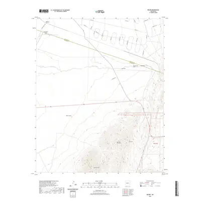
 2020 Bishop Ranch2020 Print · USGSCovers Socorro County, including United States, New Mexico, and other nearby areas
 - 2020 Map of Veguita, 2020 Print
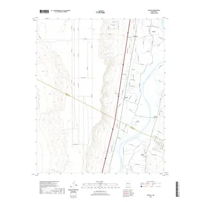 2020 Veguita2020 Print · USGSCovers Socorro County, including Pueblitos, Veguita, and other nearby areas
 - 2020 Map of Progresso SW, 2020 Print
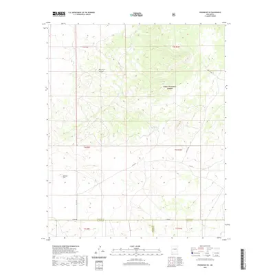 2020 Progresso SW2020 Print · USGSCovers Socorro County, including Lincoln County, Torrance County, and other nearby areas
Showing maps 1-25 of 266
Top cities of Socorro County
Frequently asked questions
- What are the different types of historical maps available for Socorro County?
- What is the oldest map of Socorro County?
- Where can I purchase historical maps of Socorro County for my home or office?
- Where can I download high-res historical maps of Socorro County?
- Are there historical topographic maps available for Socorro County?
- Is there historical aerial imagery available for Socorro County?
- Where are historical maps of Socorro County sourced from?