2000s (21st Century) Maps of Socorro County, New Mexico
Explore 666 historic maps of Socorro County from the 2000s (21st Century). These maps offer a rare glimpse into what life looked like during the 2000s — showing old roads, neighborhoods, homes, and landmarks that have changed or disappeared over time.
Whether you're researching your family's past, planning a metal detecting trip, or studying how Socorro County's landscape evolved across the 2000s, these high-resolution maps are a powerful tool for exploring the history of this region.
- Focus on a specific era: All maps on this page are from the 2000s, giving you a focused view of this time period.
- See what’s changed: Compare century-old streets, trails, and buildings to today's modern landscape using overlays and satellite layers.
- Research with precision: Use these maps for genealogy, historical research, land use analysis, or educational projects.
- View, download, or print: Maps are fully viewable online in high resolution, and can be downloaded or printed for your own records.
Start exploring Socorro County's history through authentic maps from the 2000s. This is your window into the past.
Socorro County, NM maps
(666)- 2005 Map of Dusty, 2006 Print
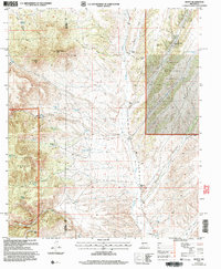 2005 Dusty2006 Print · USGSRanching life in the high desert of Socorro and Catron counties is documented here as it appeared in the early 2000s. Genealogists and local historians can trace family-named outposts and vital water sources like Tucker Ranch, Henderson Ranch, and Pigeon Windmill.
 - 2010 Map of Puertecito Gap, 2010 Print
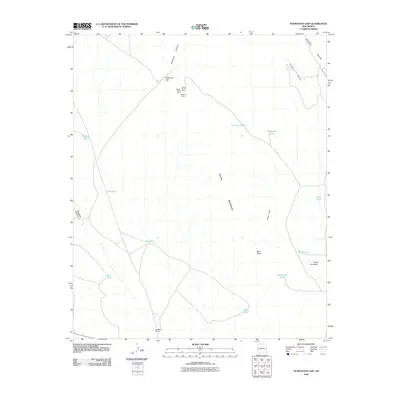 2010 Puertecito Gap2010 Print · USGSSocorro County ranching and mining history come to life in this survey of the high-desert landscape during the early twenty-first century. Genealogists and historians can trace the bounds of Weston Ranch and locate the historic Weston Mine or Magnum Claims.
 - 2010 Map of Hickman Ranch, 2010 Print
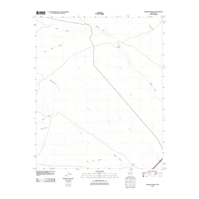 2010 Hickman Ranch2010 Print · USGSSocorro County's ranching country is captured here in the early 2000s, showing a land defined by its deep drainage canyons and remote outposts. Researchers can trace the winding paths of Rock Creek Canyon and San Juan Canyon or locate the historic Hickman Ranch.
 - 2010 Map of Fort Craig, 2010 Print
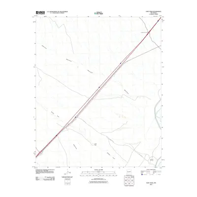 2010 Fort Craig2010 Print · USGSSocorro County's desert landscape along the river is captured here just after the first decade of the millennium. Researchers can trace the drainage of Milligan Gulch and Quates Canyon or locate the historic Fort Craig Cemetery and George Birner Ranch.
 - 2010 Map of Claunch, 2010 Print
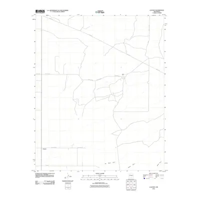 2010 Claunch2010 Print · USGSThe community of Claunch and its surrounding ranchlands are shown here in the first decade of the 2000s. Researchers and family historians can trace the local road network and seasonal watercourses like Polecat Draw or locate the Dean Ranch near the center of the sheet.
 - 2010 Map of Cienega Ranch, 2010 Print
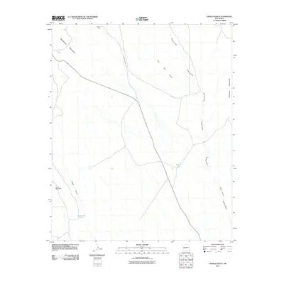 2010 Cienega Ranch2010 Print · USGSSocorro County ranching country is mapped here in the early twenty-first century, showing the transition between two mountain ranges. Researchers can locate remote rangeland features like Cienega Ranch, Homestead Tank, and the winding Torreon Arroyo.
 - 2010 Map of Polecat Draw, 2010 Print
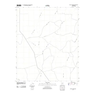 2010 Polecat Draw2010 Print · USGSLincoln County, New Mexico, is shown during the first decade of the new millennium as a region shaped by desert drainages and remote county roads. Researchers can trace the path of Pinatosa Canyon and identify old routes like County Rd-213 and County Rd-A020.
 - 2010 Map of Black Hill, 2010 Print
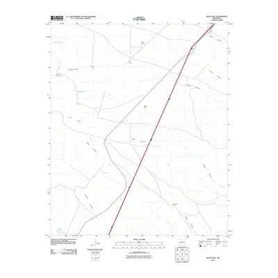 2010 Black Hill2010 Print · USGSSocorro County ranching country is captured here in the early twenty-first century, showing a landscape defined by deep canyons and isolated homesteads. Researchers can trace land use through cattle tanks like CCC Tank and historic sites such as W Coupland Ranch.
 - 2010 Map of Silver Creek, 2010 Print
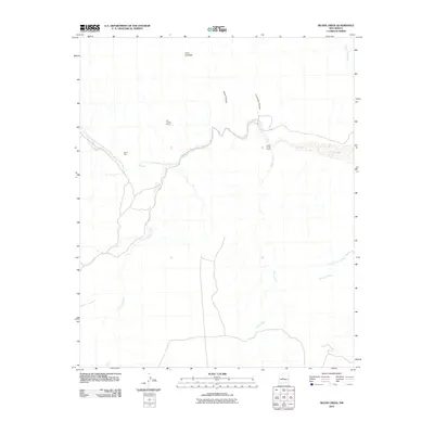 2010 Silver Creek2010 Print · USGSThe high desert of Socorro County is documented here during the early 2000s, showcasing the winding drainage systems of the Rio Salado basin. Researchers can trace the paths of Rio Salado through The Box and locate historical sites like Santa Rita and Silver Creek Camp.
 - 2010 Map of Comanche Ranch, 2010 Print
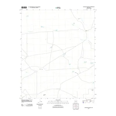 2010 Comanche Ranch2010 Print · USGSValencia County ranch lands are captured here in the early twenty-first century, showing the intricate water management of the high desert. Researchers can trace historic ranching infrastructure through features like Comanche Ranch, Coyote Spring, and Loco Retention Dam.
 - 2010 Map of Mesa Sarca, 2010 Print
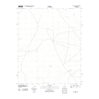 2010 Mesa Sarca2010 Print · USGSValencia County at the turn of the decade reveals a high-desert ranching landscape shaped by water and wide-open mesas. Researchers can trace remote operations like Saladito Ranch and drainage systems including Arroyo Pato and Coyote Draw.
 - 2010 Map of Ladron Peak, 2010 Print
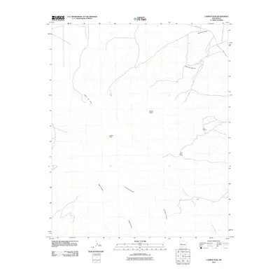 2010 Ladron Peak2010 Print · USGSSocorro County in the early twenty-first century is defined by high-desert peaks and remote ranching operations. Modern researchers can trace the rugged topography of Ladron Peak and locate sites like the Jeter Prospect and Lazy C Bar J Ranch.
 - 2010 Map of Pueblo Viejo Mesa, 2010 Print
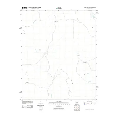 2010 Pueblo Viejo Mesa2010 Print · USGSNew Mexico's high desert plateaus and ranching history are detailed in this survey of the Eastern Navajo Agency during the early 2000s. Researchers can trace isolated livestock infrastructure and remote road networks like Red Lake Rd, Red Lake Ranch, and Victorino Spring.
 - 2010 Map of Puerto De Los Cavadores, 2010 Print
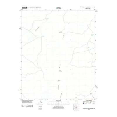 2010 Puerto De Los Cavadores2010 Print · USGSThe high mesas of the Eastern Navajo Agency are mapped here during the early twenty-first century, showing a landscape defined by ranching and natural passes. Researchers can locate the Spreen Ranch and trace vital water sources like Crowder Tank and Arroyo Pato across the Sierra Lucero.
 - 2010 Map of Oscura Peak, 2010 Print
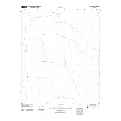 2010 Oscura Peak2010 Print · USGSThe high-desert terrain of the Oscura Mountains is captured here during the first decade of the 21st century. Researchers can trace the legacy of family ranching at A D Helm Ranch and Withers Ranch or locate isolated water sites like Selso Martinez Tank.
 - 2010 Map of Tucson Spring, 2010 Print
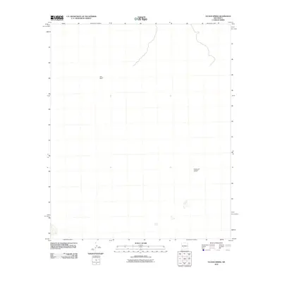 2010 Tucson Spring2010 Print · USGSSocorro County's high desert landscape is shown here at the start of the 21st century, dominated by ranching and mineral interests. Researchers can locate the Victoria Land and Cattle Co Mine and the Casa Grande Ranch near Tucson Spring.
 - 2010 Map of Little San Pascual Mountain, 2010 Print
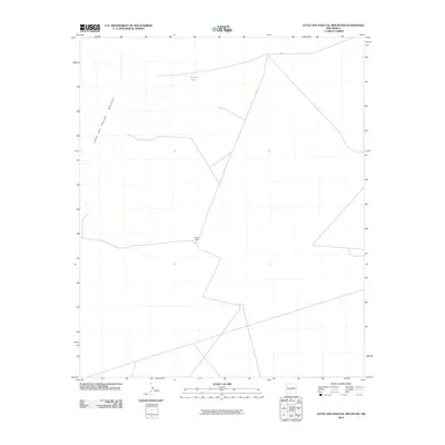 2010 Little San Pascual Mountain2010 Print · USGSSocorro County, New Mexico, at the dawn of the 21st century reveals a landscape of high desert ranching and quiet backcountry routes. Researchers can locate the footprint of Bruton Ranch, trace the path of A153, and find the remote Shorty Tank.
 - 2010 Map of Bustos Well, 2010 Print
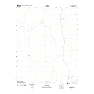 2010 Bustos Well2010 Print · USGSSocorro County in the early 2000s is shown here as a landscape of managed water and desert access routes. Researchers can trace the drainage patterns of Arroyo Tinajas and locate infrastructure like Jornada Detention Dam and Bustos Tank.
 - 2010 Map of Orndorff Ranch, 2010 Print
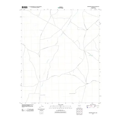 2010 Orndorff Ranch2010 Print · USGSSocorro County's high desert is captured here in the early 2000s, where traditional ranching meets federal defense operations. Genealogists and researchers can locate family-named outposts like Orndorff Ranch and Fernandez Ranch along the Chupadera Arroyo.
 - 2010 Map of Chupadera Spring, 2010 Print
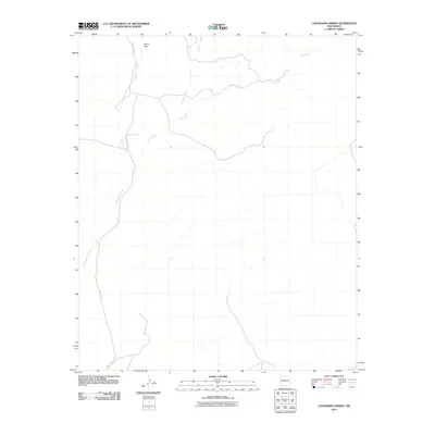 2010 Chupadera Spring2010 Print · USGSSocorro County's desert drainages and vital water sources are mapped here in the early twenty-first century. Researchers can trace the path of WSMR P Route 9 or locate natural landmarks like Chupadera Spring and Cañon Trigo.
 - 2010 Map of Sierra Larga South, 2010 Print
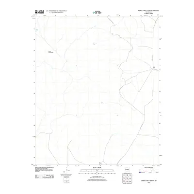 2010 Sierra Larga South2010 Print · USGSSocorro County's high desert reaches are captured here in the early twenty-first century, showing a remote landscape where ranching and military access routes meet. Researchers can locate the Long Ranch and trace the paths to vital water sources like San Antonio Spring and Coyote Spring.
 - 2010 Map of Blakemore Well, 2010 Print
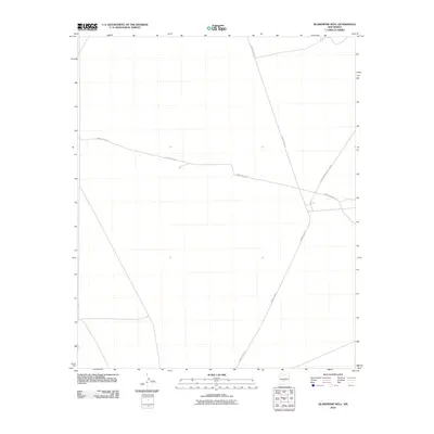 2010 Blakemore Well2010 Print · USGSSocorro County's military landscape is captured here during the first decade of the new millennium. Researchers can trace tactical corridors within the White Sands Missile Range, including the long stretches of Wsmr P Route 5 and Wsmr P Route 26.
 - 2010 Map of Turkey Ridge, 2010 Print
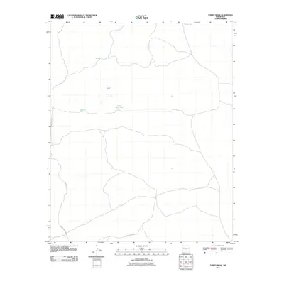 2010 Turkey Ridge2010 Print · USGSSocorro County's high-desert terrain is captured in this early 21st-century study of the land surrounding Turkey Ridge. Researchers and explorers can trace seasonal water catchments like Turkey Ruins Tank and the path of WSMR S Route 3703.
 - 2010 Map of Pope, 2010 Print
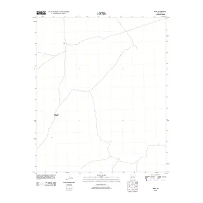 2010 Pope2010 Print · USGSSocorro County at the start of the 21st century reveals a landscape shaped by rail and remote crossings. Local history researchers can trace the specific locations of Pope Siding and the descriptively named Hard Luck Crossing along the area's arid tracks.
 - 2010 Map of Sierra De La Cruz, 2010 Print
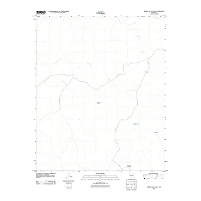 2010 Sierra De La Cruz2010 Print · USGSSocorro County's high desert landscape is documented here in the early twenty-first century, featuring the terrain of the White Sands Missile Range. Researchers can trace historic water sources like Cibola Spring and landforms such as Cuesta de la McBride.
Showing maps 1-25 of 666
Top cities of Socorro County
Frequently asked questions
- What are the different types of historical maps available for Socorro County?
- What is the oldest map of Socorro County?
- Where can I purchase historical maps of Socorro County for my home or office?
- Where can I download high-res historical maps of Socorro County?
- Are there historical topographic maps available for Socorro County?
- Is there historical aerial imagery available for Socorro County?
- Where are historical maps of Socorro County sourced from?