2020s Maps of Taos County, New Mexico
Explore 100 historic maps of Taos County from the 2020s. These maps offer a rare glimpse into what life looked like during the 2020s — showing old roads, neighborhoods, homes, and landmarks that have changed or disappeared over time.
Whether you're researching your family's past, planning a metal detecting trip, or studying how Taos County's landscape evolved across the 2020s, these high-resolution maps are a powerful tool for exploring the history of this region.
- Focus on a specific era: All maps on this page are from the 2020s, giving you a focused view of this time period.
- See what’s changed: Compare century-old streets, trails, and buildings to today's modern landscape using overlays and satellite layers.
- Research with precision: Use these maps for genealogy, historical research, land use analysis, or educational projects.
- View, download, or print: Maps are fully viewable online in high resolution, and can be downloaded or printed for your own records.
Start exploring Taos County's history through authentic maps from the 2020s. This is your window into the past.
Taos County, NM maps
(100)- 2020 Map of Trampas, 2020 Print
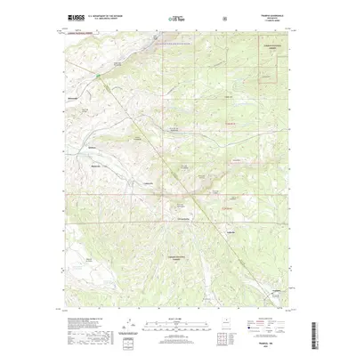 2020 Trampas2020 Print · USGSThe high valleys of Taos County come to life in this modern survey of the Sangre de Cristo foothills. Genealogists and historians can trace traditional mountain settlements from Trampas to Vallecito, and locate local landmarks like San Jose de Gracia Cem and the El Llano Ditch.
 - 2020 Map of Big Costilla Peak, 2020 Print
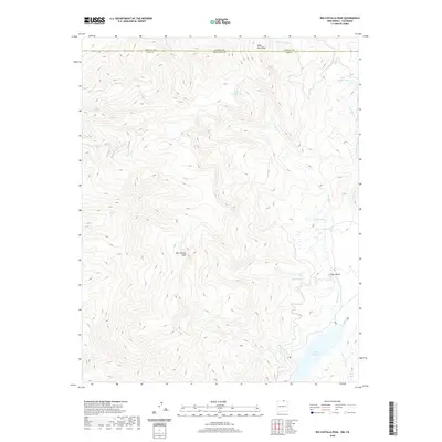 2020 Big Costilla Peak2020 Print · USGSThe high alpine border of New Mexico and Colorado is captured here as it appeared in recent years, showcasing the headwaters of the Sangre de Cristo Mountains. You can trace the rugged drainages of Costilla Cr and find remote landmarks like Big Costilla Peak and Costilla Reservoir.
 - 2020 Map of Holman, 2020 Print
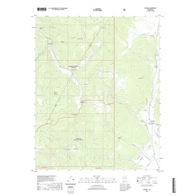 2020 Holman2020 Print · USGSMora County high country appears in great detail in 2020, where the Sangre de Cristo and Santa Fe ranges converge. Genealogists can trace family sites at Holman Presbyterian Cem, Agua Negra Cem, and the settlement of Angostura.
 - 2020 Map of Arroyo Seco, 2020 Print
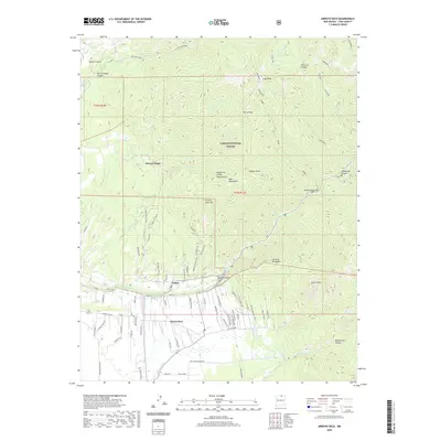 2020 Arroyo Seco2020 Print · USGSNorthern New Mexico's high-country settlements and irrigation traditions are captured here in the years following the turn of the millennium. Genealogists and historians can trace the acequia systems and family roads near Valdez, Arroyo Seco, and Kiowa Village.
 - 2020 Map of Shady Brook, 2020 Print
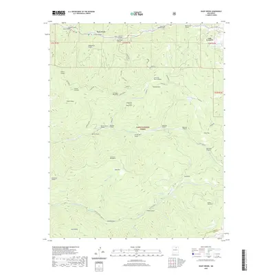 2020 Shady Brook2020 Print · USGSTaos County’s high mountain valleys and forests are captured here in the modern era. Genealogists and hikers can trace paths through the Sangre de Cristo Mountains to find landmarks like Valle Escondido, Osha Park, and the waters of Bernardin Lake.
 - 2020 Map of Cerro Vista, 2020 Print
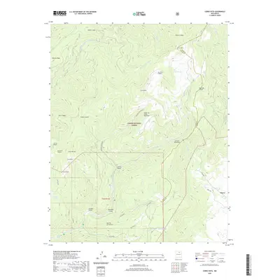 2020 Cerro Vista2020 Print · USGSThe high peaks of the Sangre de Cristo Mountains meet the Mora County line in this recent survey of the New Mexico backcountry. Genealogists and hikers can trace historic land use through named features like Chacon, Huero Lake, and Sulphur Spring.
 - 2020 Map of Amalia, 2020 Print
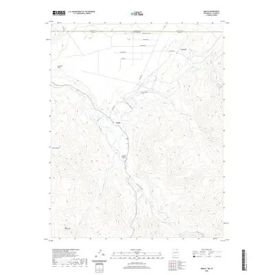 2020 Amalia2020 Print · USGSTaos County’s high mountain valleys are documented here in the modern era as the state line meets the Sangre de Cristo range. You can trace the rural communities of Amalia and Ventero or locate family landmarks along Costilla Cr and Sanchez Canyon.
 - 2020 Map of Truchas, 2020 Print
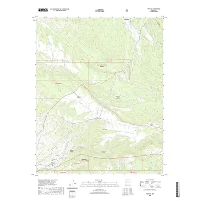 2020 Truchas2020 Print · USGSTraditional mountain villages like Truchas and Cordova are captured here in a high-elevation landscape where the national forests meet. Genealogists can locate several local burial grounds, such as Martinez Cem, Truchas Pueblo Cem, and San Miguel Cem.
 - 2020 Map of Cerro De La Olla, 2020 Print
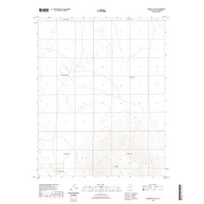 2020 Cerro De La Olla2020 Print · USGSTaos County in 2020 remains a landscape of high-desert terrain and significant volcanic formations. Researchers can trace the elevation of Cerro de la Olla and Cerrito Negro or follow the drainage of Arroyo Punche.
 - 2020 Map of Velarde, 2020 Print
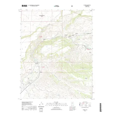 2020 Velarde2020 Print · USGSThe Rio Grande valley in Rio Arriba County shows its deep-rooted agricultural and spiritual landscape in this recent survey. Genealogists and historians can locate Our Lady of Guadalupe Catholic Cem, the Dixon Cem, and the historic El Santuario.
 - 2020 Map of Penasco, 2020 Print
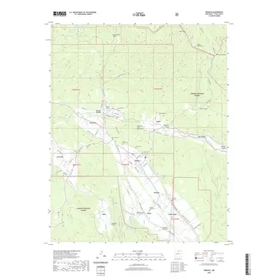 2020 Penasco2020 Print · USGSTaos County’s high mountain valleys are shown in detail here, highlighting the enduring acequia systems and rural villages of the Sangre de Cristo foothills. Genealogists can trace family locations near Peñasco and numerous local burial sites like Rio Lucio Cem and Santa Cruz Cem.
 - 2020 Map of Petaca Peak, 2020 Print
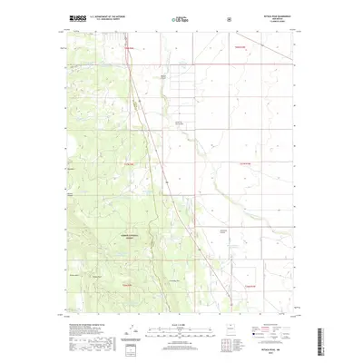 2020 Petaca Peak2020 Print · USGSThe High Desert borderlands between Rio Arriba and Taos counties appear here in the early twenty-first century. Researchers can trace the rugged drainage systems of Servilleta Canyon and locate family-named water sources like Ambrose Tank and Tio Gordito Tank.
 - 2020 Map of Costilla, 2020 Print
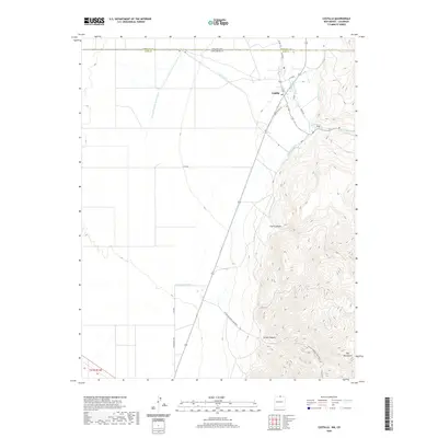 2020 Costilla2020 Print · USGSThe northern reaches of Taos County come to life in this detailed recent survey of the New Mexico-Colorado borderlands. Trace the vital acequia irrigation systems including the Acequia-Madre, explore the foothills of the Taos Mountains, and follow historical routes like Upper Plaza Road.
 - 2020 Map of Servilleta Plaza, 2020 Print
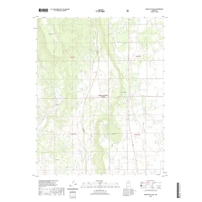 2020 Servilleta Plaza2020 Print · USGSRio Arriba County in the early twenty-first century remains a landscape of isolated settlements and high mesas within the Carson National Forest. Researchers can trace the local water and road networks around Servilleta Plaza, Rio Tusas, and the prominent Cerro Mojino.
 - 2020 Map of El Valle, 2020 Print
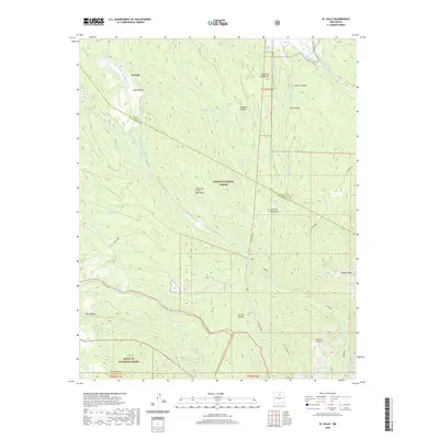 2020 El Valle2020 Print · USGSThe high valleys of northern New Mexico are shown here in the 2020s, where traditional acequia systems still sustain the land. Trace the historic irrigation of El Valle along the Rio de las Trampas and the high trails leading to Jicarilla Peak.
 - 2020 Map of Red River, 2020 Print
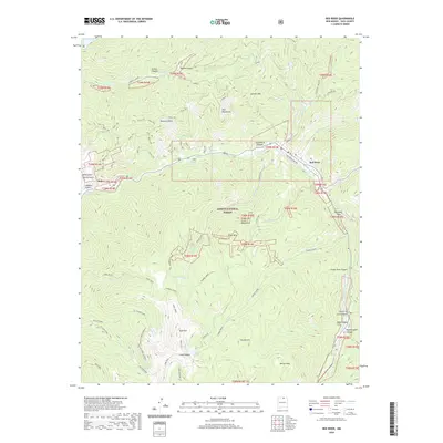 2020 Red River2020 Print · USGSModern-day Taos County continues its long history of mining and alpine recreation within the Sangre de Cristo Mountains. Researchers can trace old routes and industrial sites near Red River, including the Moly mine, Gold Hill, and Exploration areas.
 - 2020 Map of The Wall, 2020 Print
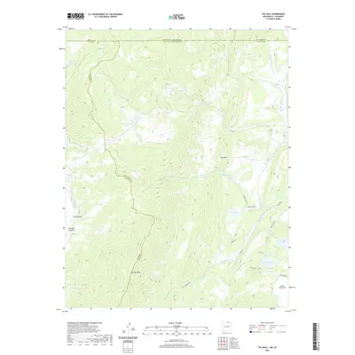 2020 The Wall2020 Print · USGSThe high Sangre de Cristo country along the New Mexico-Colorado border is captured here in the early twenty-first century. Researchers can trace remote routes and family-named landmarks like Vermejo Peak, The Wall, and the high-elevation waters of Underwood Lakes.
 - 2020 Map of Wheeler Peak, 2020 Print
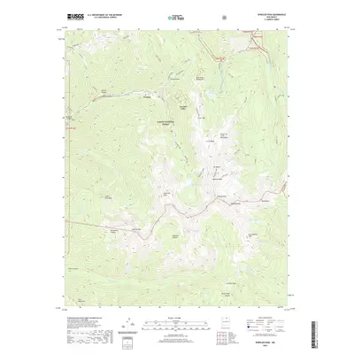 2020 Wheeler Peak2020 Print · USGSThe Sangre de Cristo Mountains dominate this northern New Mexico landscape as it appeared in 2020, centered on the high-elevation village of Taos Ski Valley. Outdoor enthusiasts and researchers can trace trails to Wheeler Peak or locate remote alpine waters like Williams Lake and Blue Lake.
 - 2020 Map of Taos Junction, 2020 Print
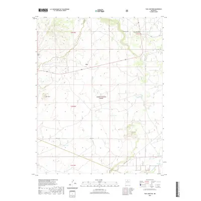 2020 Taos Junction2020 Print · USGSHigh-desert mesas and cattle tanks define the New Mexico landscape around Taos Junction and the Carson National Forest in this modern survey. Genealogists and historians can trace land use patterns near Solo and the Comanche Rim.
 - 2020 Map of Ash Mountain, 2020 Print
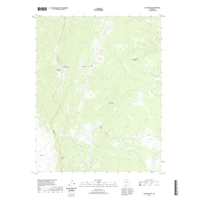 2020 Ash Mountain2020 Print · USGSThe high peaks of the Cimarron Range are documented here in the early twenty-first century as the landscape transitioned through modern conservation. Researchers can trace forest access routes like FR 1950 and identify local landmarks such as The Rock Wall, Elk Meadows, and Little Costilla Peak.
 - 2020 Map of Baldy Mountain, 2020 Print
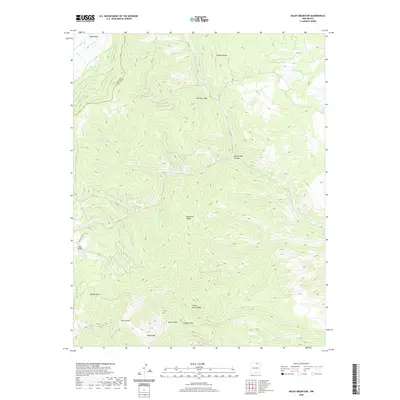 2020 Baldy Mountain2020 Print · USGSThe high peaks of the Cimarron Range are documented here in recent detail, showing the intersection of Taos and Colfax counties. Hikers and historians can trace routes near Baldy Mtn, French Henry Ridge, and the geological landmark of The Rock Wall.
 - 2020 Map of Osha Mountain, 2020 Print
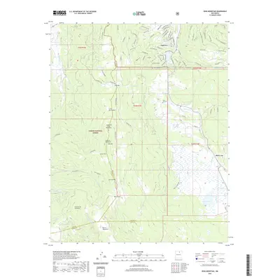 2020 Osha Mountain2020 Print · USGSHigh-altitude resort growth and traditional settlements meet in this northern New Mexico landscape during the 2020s. Researchers can trace the development of Angel Fire and find local landmarks such as Black Lake Cem and the peaks of Osha Mtn.
 - 2020 Map of Tres Ritos, 2020 Print
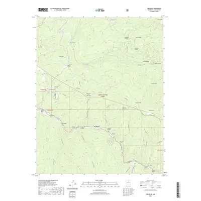 2020 Tres Ritos2020 Print · USGSThe high mountain settlements of the Taos region are captured here in the contemporary era as they interface with the rugged Carson National Forest. Researchers can trace the drainage of the Rio Pueblo through Las Mochas or locate high-country landmarks like U S Hill and Gallegos Peak.
 - 2020 Map of Comanche Point, 2020 Print
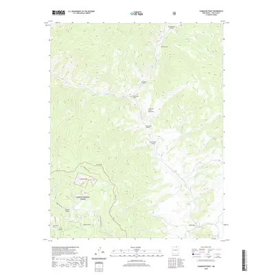 2020 Comanche Point2020 Print · USGSThe Sangre de Cristo Mountains of northern New Mexico are shown here in the recent past, centering on the high meadows and canyons of the Carson National Forest. Researchers can trace the Anchor-Mine / Bitter-Ck Rd and locate landmarks like Ortiz Peak and Valle Vidal.
 - 2020 Map of Tres Orejas, 2020 Print
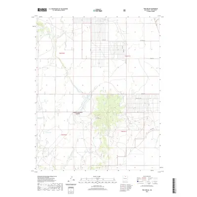 2020 Tres Orejas2020 Print · USGSTaos County’s arid volcanic landscape and ranching history are on display here in the early twenty-first century. Genealogists and local historians can trace named water catchments like Soloman Tank and Torres Tank, or follow roads like Skid Row and Chiatanyas Flag Rd near the peaks of Tres Orejas.
Showing maps 1-25 of 100
Top cities of Taos County
- Taos historical maps
- Questa historical maps
- Red River historical maps
- Costilla historical maps
- Taos Ski Valley historical maps
Frequently asked questions
- What are the different types of historical maps available for Taos County?
- What is the oldest map of Taos County?
- Where can I purchase historical maps of Taos County for my home or office?
- Where can I download high-res historical maps of Taos County?
- Are there historical topographic maps available for Taos County?
- Is there historical aerial imagery available for Taos County?
- Where are historical maps of Taos County sourced from?