2000s (21st Century) Maps of Taos County, New Mexico
Explore 250 historic maps of Taos County from the 2000s (21st Century). These maps offer a rare glimpse into what life looked like during the 2000s — showing old roads, neighborhoods, homes, and landmarks that have changed or disappeared over time.
Whether you're researching your family's past, planning a metal detecting trip, or studying how Taos County's landscape evolved across the 2000s, these high-resolution maps are a powerful tool for exploring the history of this region.
- Focus on a specific era: All maps on this page are from the 2000s, giving you a focused view of this time period.
- See what’s changed: Compare century-old streets, trails, and buildings to today's modern landscape using overlays and satellite layers.
- Research with precision: Use these maps for genealogy, historical research, land use analysis, or educational projects.
- View, download, or print: Maps are fully viewable online in high resolution, and can be downloaded or printed for your own records.
Start exploring Taos County's history through authentic maps from the 2000s. This is your window into the past.
Taos County, NM maps
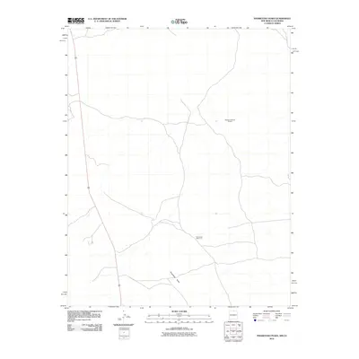
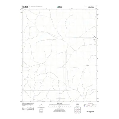
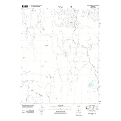
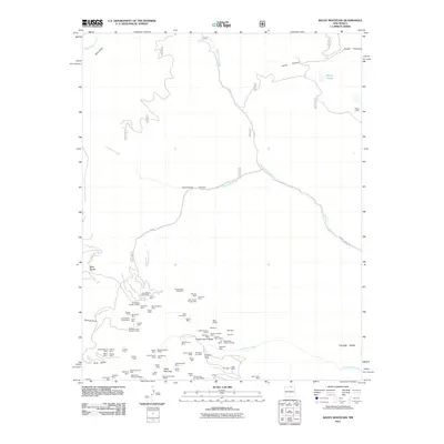
(250)- 2010 Map of Big Costilla Peak, 2010 Print
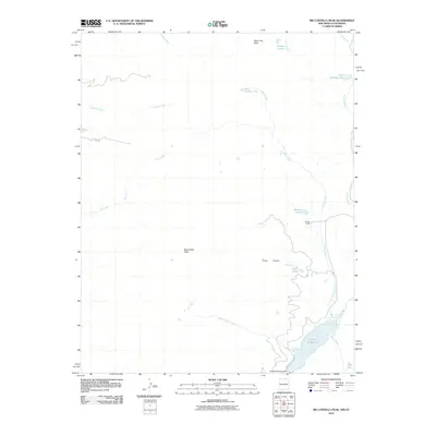 2010 Big Costilla Peak2010 Print · USGSCovers Taos County, including Costilla County, United States, and other nearby areas
 - 2010 Map of Sunshine, 2010 Print
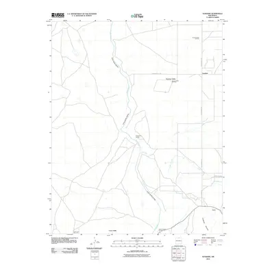 2010 Sunshine2010 Print · USGSCovers Taos County, including Sunshine, Sunshine Valley, and other nearby areas
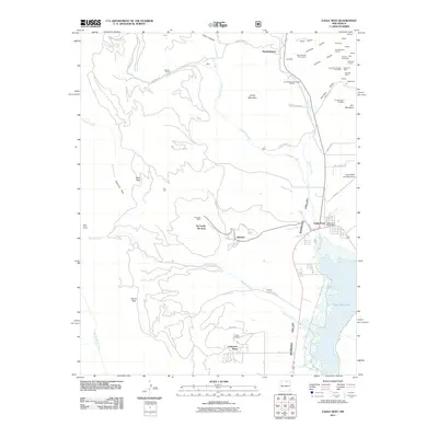
 - 2010 Map of Costilla, 2010 Print
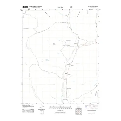
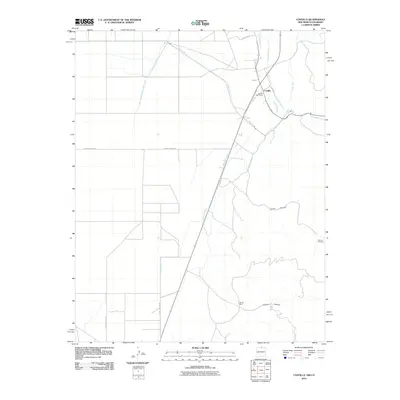 2010 Costilla2010 Print · USGSCovers Taos County, including Costilla, Urraca Ranch, and other nearby areas
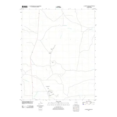
 - 2010 Map of Los Cordovas, 2010 Print
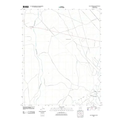 2010 Los Cordovas2010 Print · USGSCovers Taos County, including Los Cordovas, United States, and other nearby areas
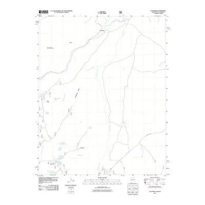
 - 2010 Map of Amalia, 2010 Print
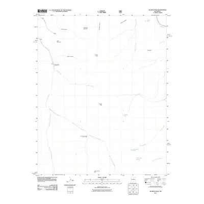
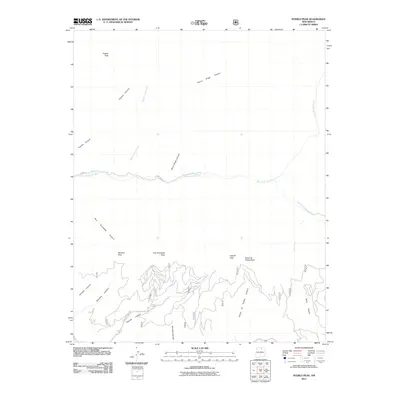
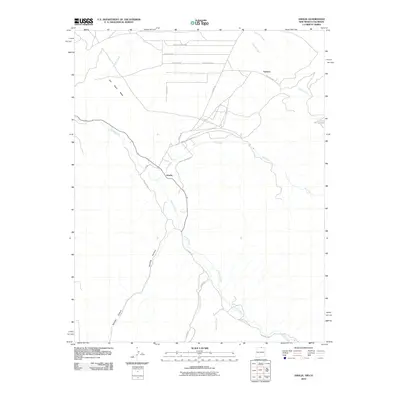 2010 Amalia2010 Print · USGSCovers Taos County, including Amalia, Ventero, and other nearby areas
 - 2010 Map of La Segita Peaks NE, 2010 Print
 2010 La Segita Peaks NE2010 Print · USGSCovers Taos County, including Conejos County, United States, and other nearby areas
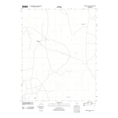
 - 2010 Map of Cerro De La Olla, 2010 Print
 2010 Cerro De La Olla2010 Print · USGSCovers Taos County, including McGreggor Place, United States, and other nearby areas
 - 2010 Map of Pinabetoso Peaks, 2010 Print
 2010 Pinabetoso Peaks2010 Print · USGSCovers Taos County, including Rio Arriba County, Conejos County, and other nearby areas
 - 2010 Map of Tres Piedras NE, 2010 Print
 2010 Tres Piedras NE2010 Print · USGSCovers Taos County, including United States, New Mexico, and other nearby areas
 - 2010 Map of Ute Mountain, 2010 Print
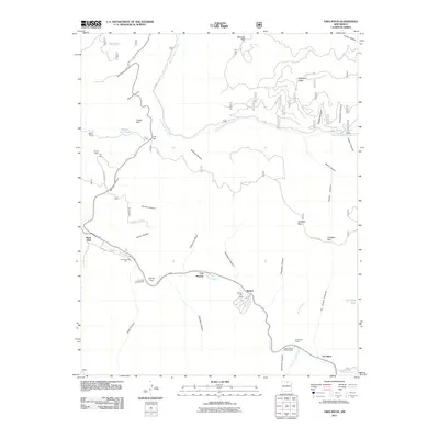
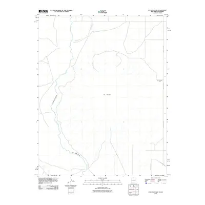 2010 Ute Mountain2010 Print · USGSCovers Taos County, including Conejos County, Costilla County, and other nearby areas
 - 2010 Map of La Segita Peaks, 2010 Print
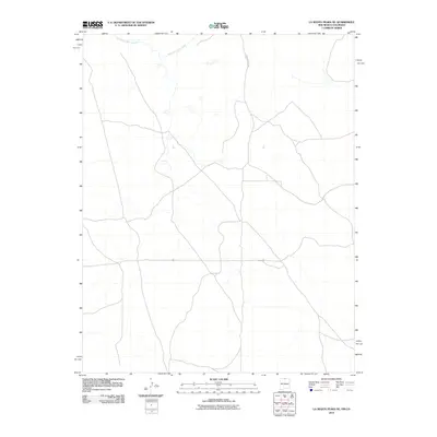
 2010 La Segita Peaks2010 Print · USGSCovers Taos County, including Rio Arriba County, United States, and other nearby areas
 - 2011 Map of Los Pinos, 2011 Print
 2011 Los Pinos2011 Print · USGSCovers Taos County, including Los Pinos, Lava, and other nearby areas
 - 2011 Map of Ojo Caliente, 2011 Print
 2011 Ojo Caliente2011 Print · USGSCovers Taos County, including Ojo Caliente, Duranes, and other nearby areas
 - 2011 Map of Jicarita Peak, 2011 Print
 2011 Jicarita Peak2011 Print · USGSCovers Taos County, including Rio Arriba County, Mora County, and other nearby areas
 - 2011 Map of Latir Peak, 2011 Print
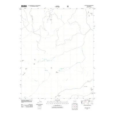 2011 Latir Peak2011 Print · USGSCovers Taos County, including United States, New Mexico, and other nearby areas
 - 2011 Map of The Wall, 2011 Print
 2011 The Wall2011 Print · USGSCovers Taos County, including Banning Place, Las Animas County, and other nearby areas
 - 2011 Map of Osha Mountain, 2011 Print
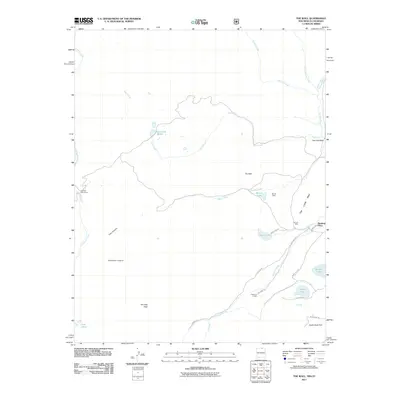
 2011 Osha Mountain2011 Print · USGSCovers Taos County, including Angel Fire, Black Lake, and other nearby areas
 - 2011 Map of Eagle Nest, 2011 Print
 2011 Eagle Nest2011 Print · USGSCovers Taos County, including Eagle Nest, Idlewild, and other nearby areas
 - 2011 Map of Red River Pass, 2011 Print
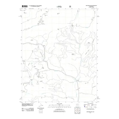 2011 Red River Pass2011 Print · USGSCovers Taos County, including Colfax County, United States, and other nearby areas
 - 2011 Map of Pueblo Peak, 2011 Print
 2011 Pueblo Peak2011 Print · USGSCovers Taos County, including United States, New Mexico, and other nearby areas
 - 2011 Map of Tres Ritos, 2011 Print
 2011 Tres Ritos2011 Print · USGSCovers Taos County, including Tres Ritos, Rock Wall, and other nearby areas
 - 2011 Map of Shady Brook, 2011 Print
 2011 Shady Brook2011 Print · USGSCovers Taos County, including Valle Escondido, Shady Brook, and other nearby areas
 - 2011 Map of Tres Piedras, 2011 Print
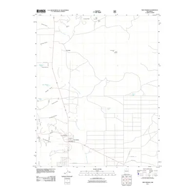 2011 Tres Piedras2011 Print · USGSCovers Taos County, including Tres Piedras, No Agua, and other nearby areas
 - 2011 Map of Baldy Mountain, 2011 Print
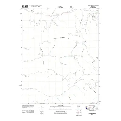
 2011 Baldy Mountain2011 Print · USGSCovers Taos County, including Colfax County, United States, and other nearby areas
 - 2011 Map of Cerro De Los Taoses, 2011 Print
 2011 Cerro De Los Taoses2011 Print · USGSCovers Taos County, including United States, New Mexico, and other nearby areas
Showing maps 1-25 of 250
Top cities of Taos County
- Taos historical maps
- Questa historical maps
- Red River historical maps
- Costilla historical maps
- Taos Ski Valley historical maps
Frequently asked questions
- What are the different types of historical maps available for Taos County?
- What is the oldest map of Taos County?
- Where can I purchase historical maps of Taos County for my home or office?
- Where can I download high-res historical maps of Taos County?
- Are there historical topographic maps available for Taos County?
- Is there historical aerial imagery available for Taos County?
- Where are historical maps of Taos County sourced from?