2020s Maps of Torrance County, New Mexico
Explore 132 historic maps of Torrance County from the 2020s. These maps offer a rare glimpse into what life looked like during the 2020s — showing old roads, neighborhoods, homes, and landmarks that have changed or disappeared over time.
Whether you're researching your family's past, planning a metal detecting trip, or studying how Torrance County's landscape evolved across the 2020s, these high-resolution maps are a powerful tool for exploring the history of this region.
- Focus on a specific era: All maps on this page are from the 2020s, giving you a focused view of this time period.
- See what’s changed: Compare century-old streets, trails, and buildings to today's modern landscape using overlays and satellite layers.
- Research with precision: Use these maps for genealogy, historical research, land use analysis, or educational projects.
- View, download, or print: Maps are fully viewable online in high resolution, and can be downloaded or printed for your own records.
Start exploring Torrance County's history through authentic maps from the 2020s. This is your window into the past.
Torrance County, NM maps
(132)- 2020 Map of Rayo Hills, 2020 Print
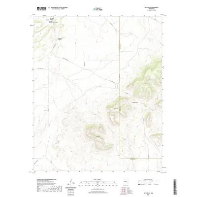 2020 Rayo Hills2020 Print · USGSThe high desert landscape along the Socorro and Torrance county line is captured here in the early twenty-first century. Researchers can trace land use through remote water features like Bryan Tank and the geological prominence of Rayo Hills and U-Butte.
 - 2020 Map of Tajique, 2020 Print
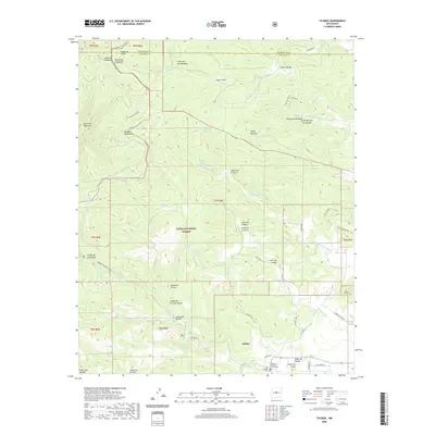 2020 Tajique2020 Print · USGSThe village of Tajique is seen here in recent years, situated where the high desert meets the wooded slopes of the Manzano Mountains. Local historians can locate the Old Tajique Cem, the Tajique Catholic Church Cem, and named water sources like Riley Ranch Spring.
 - 2020 Map of Willard, 2020 Print
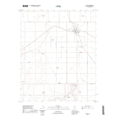 2020 Willard2020 Print · USGSWillard and the surrounding Estancia Valley ranchlands are documented here in the early twenty-first century. Genealogists and local historians can locate family burial sites at El Rosario Cem and Farmers Cem or trace the geography of Jumanes Knob.
 - 2020 Map of Milagro Spring, 2020 Print
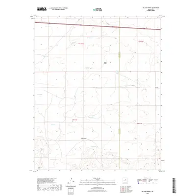 2020 Milagro Spring2020 Print · USGSTorrance and Guadalupe counties appear here as a land of rugged canyons and vital ranching infrastructure. Trace the early water sources that supported this arid region, from the namesake Milagro Spring to Bales Lake and Diablo Canyon.
 - 2020 Map of Punta de Agua, 2020 Print
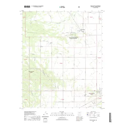 2020 Punta de Agua2020 Print · USGSTorrance County at the dawn of the 2020s shows a landscape where high-desert canyons meet storied mission history. Genealogists can trace several local burial sites like Purcella Eastview Cem and La Cienega Mission Cem near Punta de Agua.
 - 2020 Map of Milbourn Ranch, 2020 Print
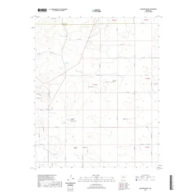 2020 Milbourn Ranch2020 Print · USGSBernalillo County ranching country is captured here in the early twenty-first century as the landscape shifts between high peaks and deep arroyos. Researchers can locate the Garland Cem and trace the paths of Arroyo Chinchonte and Milbourn Draw.
 - 2020 Map of Lobo Hill, 2020 Print
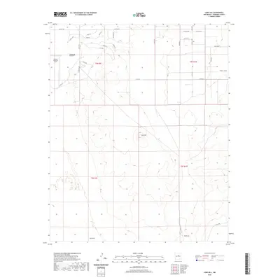 2020 Lobo Hill2020 Print · USGSNew Mexico's high-desert plains east of Moriarty are captured here in the contemporary era, showing a unique mix of aviation infrastructure and rural subdivision. Trace local landmarks like Lobo Hill and the Moriarty Municipal Airport alongside numerous residential tracks including Lariat Loop and Rodeo Cir.
 - 2020 Map of Negra, 2020 Print
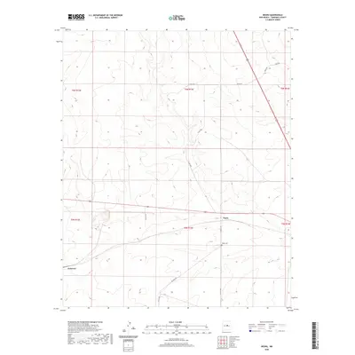 2020 Negra2020 Print · USGSCentral New Mexico’s high plains are revealed in this 2020 survey of Torrance County. Genealogists and local historians can trace rural roads like Solito Rd and Big Buck Rd to reach landmarks like Negra and the Negra Cem.
 - 2020 Map of Round Top, 2020 Print
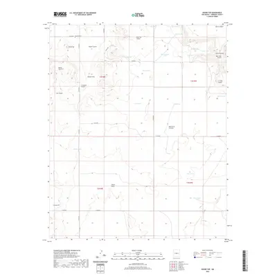 2020 Round Top2020 Print · USGSTorrance County at the start of the 2020s remains a landscape of high mesas and vital water catchments. Genealogists and local historians can locate the Round Top Cem and trace livestock history through landmarks like Mesa de los Jumanos and Rock Lake.
 - 2020 Map of Negra SE, 2020 Print
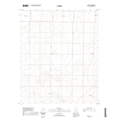 2020 Negra SE2020 Print · USGSTorrance County ranching country is shown here in the early twenty-first century, revealing a landscape defined by the geometric grid of the high plains. Researchers can trace the paths of Negra Trl, Open Range Rd, and Co Rd C029 through the historic township blocks.
 - 2020 Map of Santa Barbara Lake, 2020 Print
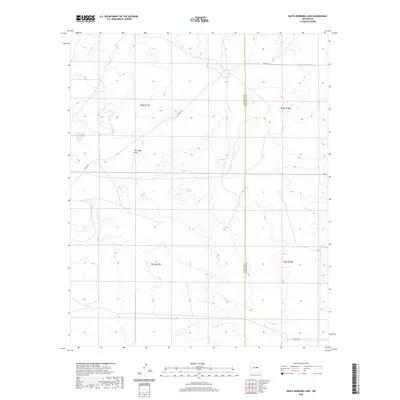 2020 Santa Barbara Lake2020 Print · USGSThe open plains of the New Mexico borderlands are detailed here during the early twenty-first century. Researchers can trace the intersection of Torrance Co and Guadalupe Co near Santa Barbara Lake and along the path of San Pablo Draw.
 - 2020 Map of Estancia, 2020 Print
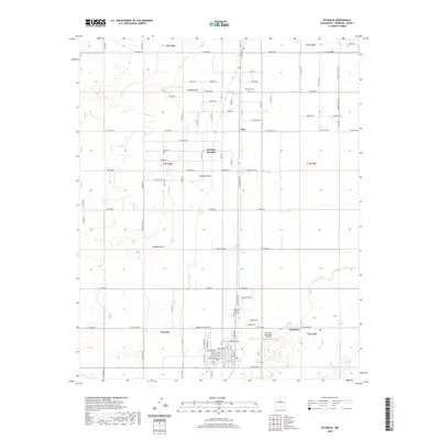 2020 Estancia2020 Print · USGSTorrance County at the start of the 2020s shows a landscape defined by ranching roads and high-desert drainage patterns. Genealogists and local historians can locate McIntosh Cem, the settlement of Witt, and the historic waters of Antelope Springs.
 - 2020 Map of Progresso NE, 2020 Print
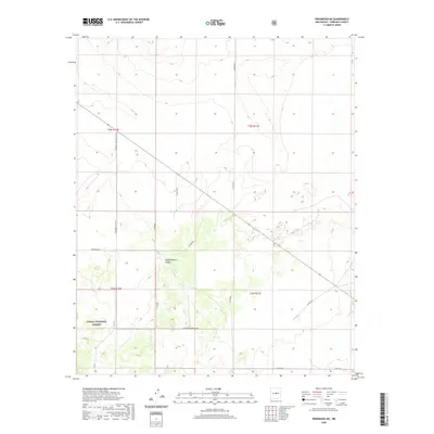 2020 Progresso NE2020 Print · USGSTorrance County at the start of the 2020s shows a landscape of open ranges and managed forests. Researchers can trace the path of the Center of New Mexico Tr and find early land boundaries within the Cibola National Forest.
 - 2020 Map of Chupadera, 2020 Print
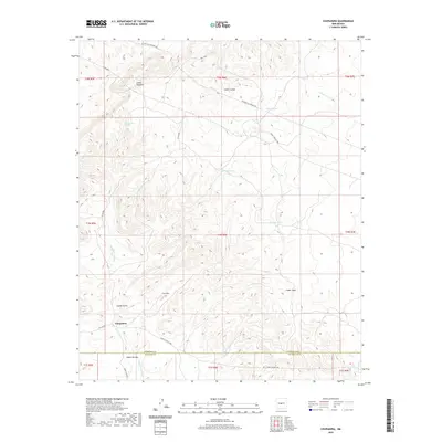 2020 Chupadera2020 Print · USGSCentral New Mexico's high-desert canyons and county lines are captured here in the early twenty-first century. Researchers can trace land use patterns near Chupadera and locate vital water sources like San Antonio Spring and La Cueva Tank.
 - 2020 Map of Lobo Hill NE, 2020 Print
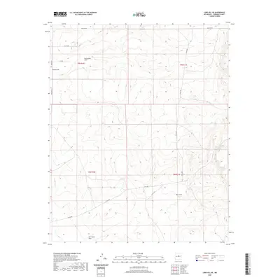 2020 Lobo Hill NE2020 Print · USGSTorrance County at the start of the 2020s remains a landscape of high desert basins and deep drainages. Local researchers can trace the winding paths of Rattlesnake Draw and Red Canyon alongside rural routes like Martinez Rd.
 - 2020 Map of Pedernal, 2020 Print
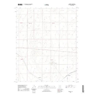 2020 Pedernal2020 Print · USGSTorrance County, New Mexico, appears in this recent survey as a landscape of remote ranching and wide-open rangeland. Genealogists and local historians can trace the sparse road network and property lines connecting the localities of Pedernal and Dummoor.
 - 2020 Map of Ewing, 2020 Print
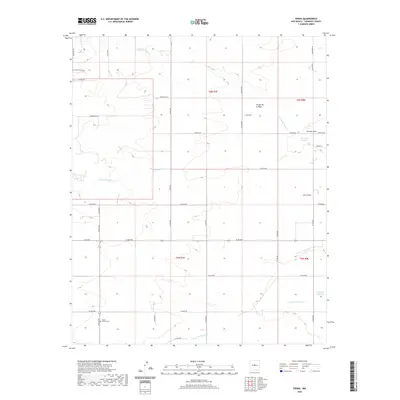 2020 Ewing2020 Print · USGSTorrance County at the start of the 2020s shows a landscape where high-desert drainages meet rural homesteads and family tracts. Genealogists and local historians can trace the geography of Mount Calvary Cem and the complex paths of Arroyo de Tajique and Torreon Draw.
 - 2020 Map of Mesa Draw, 2020 Print
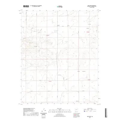 2020 Mesa Draw2020 Print · USGSTorrance County ranching country is captured here in the contemporary era, showing a landscape defined by its high-desert draws and livestock tanks. Genealogists and local historians can trace family roots at Cedar Grove Cem or locate historic water sources like Baumgartner Tank and Medders Tanks.
 - 2020 Map of Capilla Peak, 2020 Print
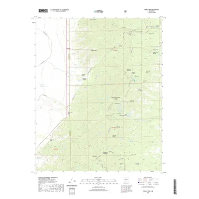 2020 Capilla Peak2020 Print · USGSThe Manzano Mountains are shown in detail during this recent period of forest management and backcountry access. Hikers and historians can trace the steep ridgeline along Manzano Crest, identifying remote water sources like Whisky Spring and Ojo Chiquito.
 - 2020 Map of North Lucy, 2020 Print
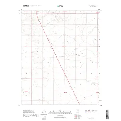 2020 North Lucy2020 Print · USGSTorrance County ranching country is shown in this recent survey, capturing the quiet landscape of the New Mexico high plains. Family historians can locate the Red Hills Cem near North Lucy and trace long-established property access along Haral Ranch Rd.
 - 2020 Map of Duran NE, 2020 Print
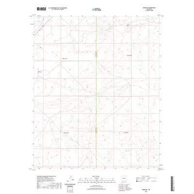 2020 Duran NE2020 Print · USGSCentral New Mexico high country is surveyed here in the years following the millennium, showing the rural borders of Torrance and Guadalupe counties. Genealogists and historians can locate Duran Old Church Cem and trace seasonal water patterns through Tall Pine Draw and Marino Draw.
 - 2020 Map of Moriarty South, 2020 Print
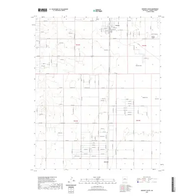 2020 Moriarty South2020 Print · USGSMoriarty and the Estancia Valley are shown in detail during a period of modern rural expansion. Genealogists and local historians can locate Mountain View Cem, trace the drainage of Woodman Draw, and explore the layout of McIntosh.
 - 2020 Map of Laguna Del Perro North, 2020 Print
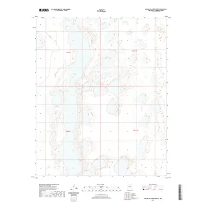 2020 Laguna Del Perro North2020 Print · USGSTorrance County at the start of the 2020s shows a landscape defined by the expansive salt flats of the Estancia Basin. Researchers can trace the unique shoreline of Laguna del Perro and the path of Co Rd A047 across these high-altitude desert plains.
 - 2020 Map of Lobo Hill SW, 2020 Print
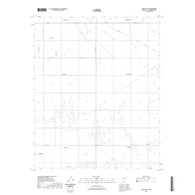 2020 Lobo Hill SW2020 Print · USGSThe high-desert terrain of Torrance County comes into focus in this recent survey of the Estancia Valley. Local historians can trace the paths of rural routes like Ice Plant Rd and Alan Myers Rd toward Cieneguita Spring and the outskirts of Estancia.
 - 2020 Map of Pino Mountain, 2020 Print
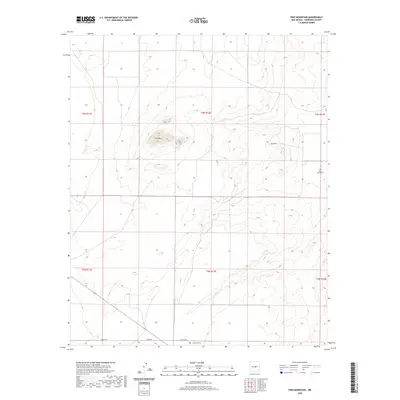 2020 Pino Mountain2020 Print · USGSTorrance County ranch land and high desert peaks are documented here in the early twenty-first century. Genealogists and local historians can locate remote burial sites at Pinos Wells Cem and Cedarvale Cem near the slopes of Pino Mtn.
Showing maps 1-25 of 132
Top cities of Torrance County
- Moriarty historical maps
- Estancia historical maps
- Mountainair historical maps
- Willard historical maps
- Encino historical maps
- Johnny's Place historical maps
Frequently asked questions
- What are the different types of historical maps available for Torrance County?
- What is the oldest map of Torrance County?
- Where can I purchase historical maps of Torrance County for my home or office?
- Where can I download high-res historical maps of Torrance County?
- Are there historical topographic maps available for Torrance County?
- Is there historical aerial imagery available for Torrance County?
- Where are historical maps of Torrance County sourced from?