2010s Maps of Torrance County, New Mexico
Explore 198 historic maps of Torrance County from the 2010s. These maps offer a rare glimpse into what life looked like during the 2010s — showing old roads, neighborhoods, homes, and landmarks that have changed or disappeared over time.
Whether you're researching your family's past, planning a metal detecting trip, or studying how Torrance County's landscape evolved across the 2010s, these high-resolution maps are a powerful tool for exploring the history of this region.
- Focus on a specific era: All maps on this page are from the 2010s, giving you a focused view of this time period.
- See what’s changed: Compare century-old streets, trails, and buildings to today's modern landscape using overlays and satellite layers.
- Research with precision: Use these maps for genealogy, historical research, land use analysis, or educational projects.
- View, download, or print: Maps are fully viewable online in high resolution, and can be downloaded or printed for your own records.
Start exploring Torrance County's history through authentic maps from the 2010s. This is your window into the past.
Torrance County, NM maps
(198)- 2010 Map of Pedernal Mountain, 2010 Print
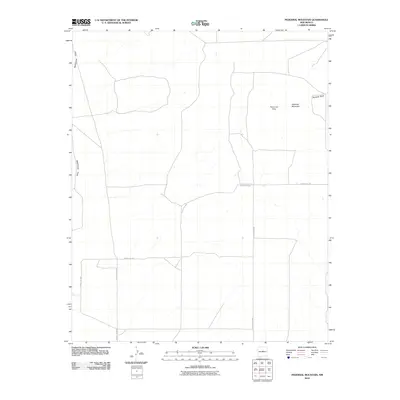 2010 Pedernal Mountain2010 Print · USGSTorrance County at the start of the twenty-first century reveals a high-desert landscape defined by elevation and ranching. Genealogists and land historians can trace rural property lines and access points near Pedernal Mountain, Waller Ranch, and Pintada Draw.
 - 2010 Map of Negra SE, 2010 Print
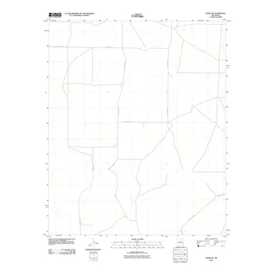 2010 Negra SE2010 Print · USGSTorrance County at the end of the 2000s shows a landscape of wide-open ranching country and straight-line section roads. Local history researchers can trace the network of rural arteries including County Rd-C057, County Rd-C049, and County Rd-C083 as they partition this high-desert terrain.
 - 2010 Map of Negra SW, 2010 Print
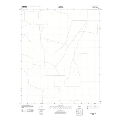 2010 Negra SW2010 Print · USGSThe open plains of Torrance County are captured here during the first decade of the new millennium. Researchers of local land use and infrastructure can trace the path of County Rd C057 across this expansive New Mexico landscape.
 - 2010 Map of Duran, 2010 Print
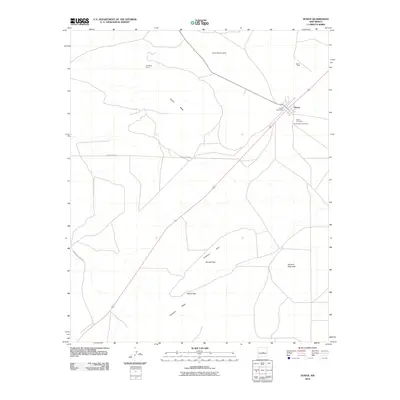 2010 Duran2010 Print · USGSDuran and its surrounding mesas are documented here in the early twenty-first century. Genealogists and local historians can trace family ties at the Duran Cemetery and Hindi Family Cemetery, or locate the site of the Garner Mine near the base of Duran Mesa.
 - 2010 Map of Cedarvale NE, 2010 Print
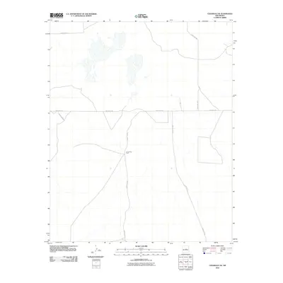 2010 Cedarvale NE2010 Print · USGSTorrance County ranching country is captured in the early 2000s, showing the remote networks of central New Mexico. Researchers can trace land use near Going Thing Ranch and follow the route of Pinos Wells Rd through the basin terrain.
 - 2010 Map of Rock Lake, 2010 Print
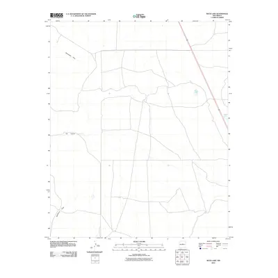 2010 Rock Lake2010 Print · USGSTorrance County, New Mexico, appears here as a landscape of arid draws and isolated water features in the first decade of the 2000s. Researchers can trace the paths of Rattlesnake Draw and locate local landmarks such as Rock Lake and Texas Lake.
 - 2010 Map of Tejon, 2010 Print
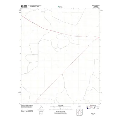 2010 Tejon2010 Print · USGSGuadalupe County at the start of the millennium is a land of wide-open horizons and isolated crossroads. Researchers can trace the intersection of regional highways 60 285 and 54 near the rural settlements of Tejon and Indiole.
 - 2010 Map of Laguna Del Perro North, 2010 Print
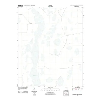 2010 Laguna Del Perro North2010 Print · USGSThe salt basins of the Estancia Valley are captured here in the early 21st century. Researchers can trace the vast extent of Laguna del Perro and locate the remote site of El Ranchero Berkshire along the western edge of the playas.
 - 2010 Map of Dunlap Ranch, 2010 Print
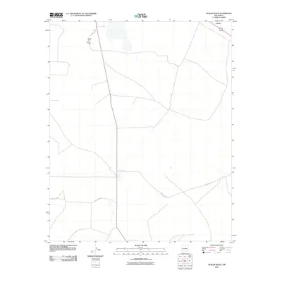 2010 Dunlap Ranch2010 Print · USGSThe high plains of Torrance County are documented here in the early twenty-first century as ranching and rural life continue to shape the land. Researchers can trace the layout of Dunlap Ranch and Estancia 1 Kellogg or follow the paths of County Rd C073 and Carnero.
 - 2010 Map of Duran NE, 2010 Print
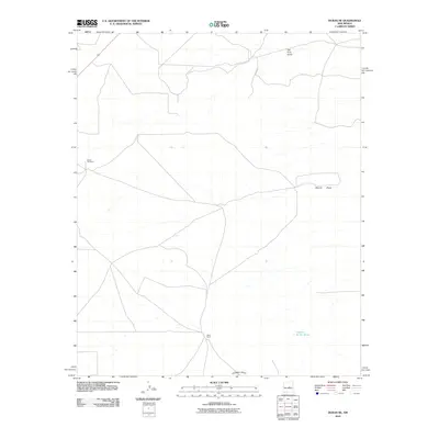 2010 Duran NE2010 Print · USGSTorrance County ranching lands and desert draws are captured here in the early twenty-first century. Genealogists and local historians can locate Duran Cemetery and trace the paths of Tall Pine Draw and Hindi Ranch.
 - 2010 Map of Rattlesnake Hill, 2010 Print
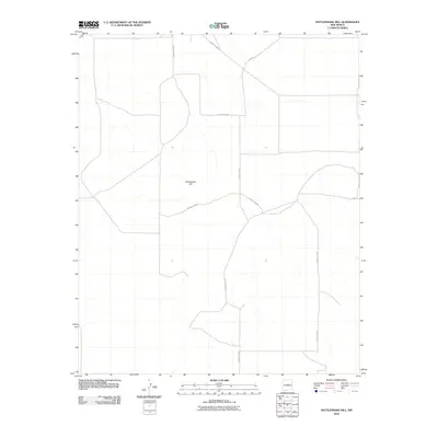 2010 Rattlesnake Hill2010 Print · USGSThe high-plains terrain of Torrance County is captured here in the early twenty-first century, centered on the prominent rise of Rattlesnake Hill. Researchers can trace the rural road network including Lucy Rd, County Rd-B033, and County Rd-C060.
 - 2010 Map of Waller Ranch, 2010 Print
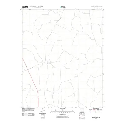 2010 Waller Ranch2010 Print · USGSTorrance County ranching country is documented here during the early 2000s, showing the intersection of vital rural routes. Genealogists and local historians can locate specific landmarks like Waller Ranch, Red Hill, and the path of Waller Ranch Rd.
 - 2010 Map of Pinavete Canyon, 2010 Print
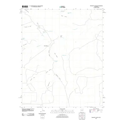 2010 Pinavete Canyon2010 Print · USGSTorrance County ranching country is documented here in the early twenty-first century, showing a landscape defined by water and terrain. Genealogists and land researchers can trace family-named sites like Mesa Apodaca, Armijo Peak, and the settlement at Derramadero.
 - 2010 Map of Lucy, 2010 Print
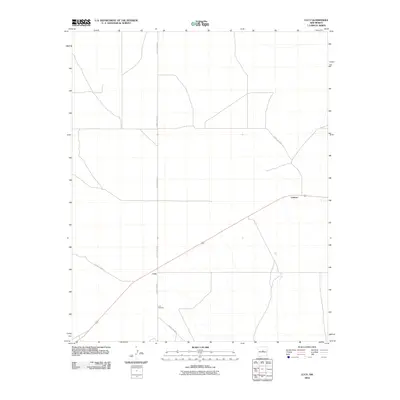 2010 Lucy2010 Print · USGSCentral New Mexico’s high plains are captured here in the early twenty-first century, showing the enduring rural layout of Torrance County. Researchers can locate the Lucy Cemetery and trace the paths of Lucy and Culebra along the region's essential road network.
 - 2010 Map of Santa Barbara Lake, 2010 Print
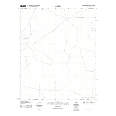 2010 Santa Barbara Lake2010 Print · USGSTorrance County, New Mexico, is shown in the early 2000s as a landscape defined by its isolated water sources and rural road network. Genealogists and local historians can trace the specific corridors of County RD-C076 and County RD-4 near Santa Barbara Lake.
 - 2010 Map of Pino Mountain, 2010 Print
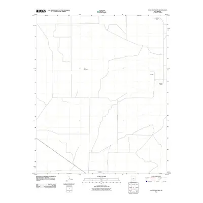 2010 Pino Mountain2010 Print · USGSTorrance County ranching country is documented here in the early twenty-first century, showing the enduring landmarks of a high-desert landscape. Genealogists can locate family sites such as Pinos Wells Cemetery, Cedarvale Cemetery, and the Lammon Ranch.
 - 2010 Map of Laguna Del Perro South, 2010 Print
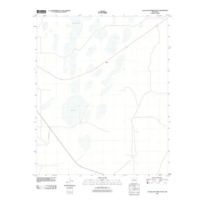 2010 Laguna Del Perro South2010 Print · USGSThe saline playas of the Estancia Valley are captured here during the first decade of the millennium. Researchers and locals can trace the remote settlement at Silio and the expansive boundaries of Salina Lake and Laguna del Perro.
 - 2010 Map of Encino, 2010 Print
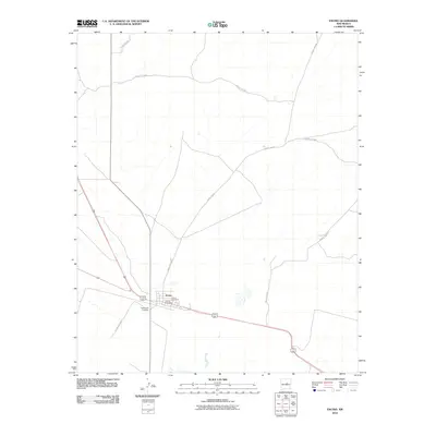 2010 Encino2010 Print · USGSEncino and the surrounding Torrance County plains are captured here in the early twenty-first century as a quiet crossroads of high-desert life. Local historians and genealogists can pinpoint the town center at the Encino Post Office and trace family connections at Encino Cemetery or Guadalupe Cemetery.
 - 2010 Map of Santo Nino Canyon, 2010 Print
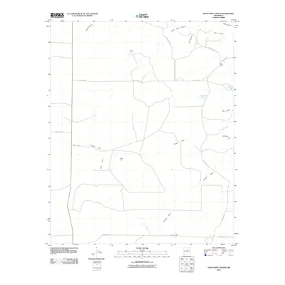 2010 Santo Nino Canyon2010 Print · USGSTorrance County ranching country is shown here in the early 21st century, centered on the vital water management systems of the high desert. Researchers can trace land-use patterns around Garcia Ranch and identify landmarks like Lobo Hill and Santo Niño Canyon.
 - 2010 Map of Pedernal, 2010 Print
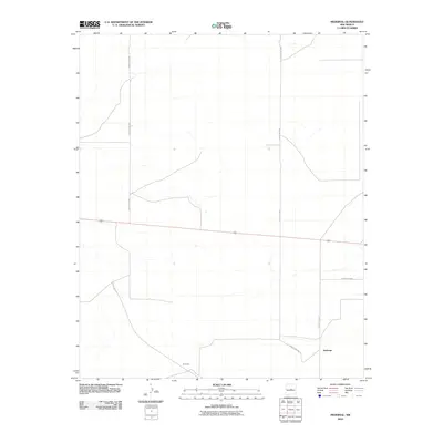 2010 Pedernal2010 Print · USGSTorrance County in the early 2000s is defined by its wide-open ranching country and primary transit corridors. Genealogists and local historians can trace the sparse settlement patterns around Pedernal and Dunmoor along the path of Highway 60.
 - 2010 Map of Lobo Hill, 2010 Print
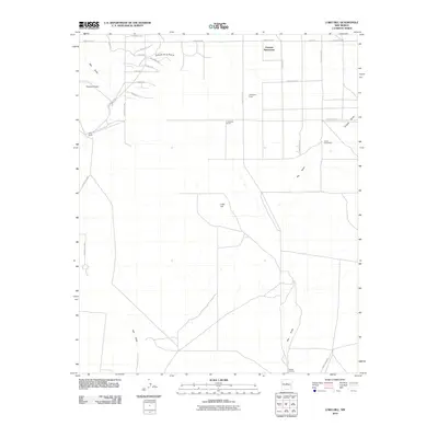 2010 Lobo Hill2010 Print · USGSTorrance County ranchlands are captured here in the early 2000s, showcasing the intersection of traditional homesteading and modern development. Researchers can trace land use through legacy sites like the Lamb Homestead and the prominent Lobo Hill.
 - 2010 Map of Camaleon Draw East, 2010 Print
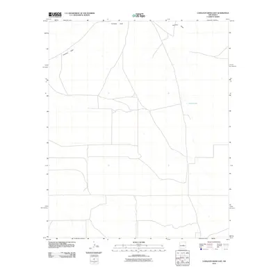 2010 Camaleon Draw East2010 Print · USGSLincoln County at the start of the 2010s reveals a ranching landscape defined by its essential water features. Researchers can trace the path of Camaleon Draw across the terrain or locate the isolated catchment of Jojonera Lake.
 - 2010 Map of Lobo Hill SE, 2010 Print
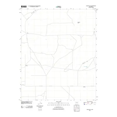 2010 Lobo Hill SE2010 Print · USGSTorrance County ranchlands appear in high detail during the early 21st century, revealing a landscape shaped by isolated homesteads and seasonal water draws. Researchers can locate family landmarks like the Sorule Homestead or Dean Ranch and trace cattle infrastructure such as the West Douglas Tanks.
 - 2010 Map of Lobo Hill NE, 2010 Print
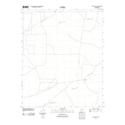 2010 Lobo Hill NE2010 Print · USGSTorrance County ranchlands are documented here during the early twenty-first century, showing a landscape defined by seasonal watercourses and remote homesteads. Genealogists and historians can trace family land at Gomer Ranch and follow the paths of Rattlesnake Draw and Red Canyon Draw.
 - 2010 Map of Mountainair NE, 2010 Print
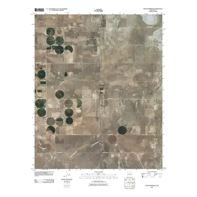 2010 Mountainair NE2010 Print · USGSEstancia and its surrounding ranchlands are captured at the start of the decade, showing the organized grid of a high-plains ranching community. Genealogists and local historians can locate the Estancia Cemetery and family-named landmarks like Spruill Ranch or the Berkshire Windmill.
Showing maps 1-25 of 198
Top cities of Torrance County
- Moriarty historical maps
- Estancia historical maps
- Mountainair historical maps
- Willard historical maps
- Encino historical maps
- Johnny's Place historical maps
Frequently asked questions
- What are the different types of historical maps available for Torrance County?
- What is the oldest map of Torrance County?
- Where can I purchase historical maps of Torrance County for my home or office?
- Where can I download high-res historical maps of Torrance County?
- Are there historical topographic maps available for Torrance County?
- Is there historical aerial imagery available for Torrance County?
- Where are historical maps of Torrance County sourced from?