2020s Maps of Emmons County, North Dakota
Explore 84 historic maps of Emmons County from the 2020s. These maps offer a rare glimpse into what life looked like during the 2020s — showing old roads, neighborhoods, homes, and landmarks that have changed or disappeared over time.
Whether you're researching your family's past, planning a metal detecting trip, or studying how Emmons County's landscape evolved across the 2020s, these high-resolution maps are a powerful tool for exploring the history of this region.
- Focus on a specific era: All maps on this page are from the 2020s, giving you a focused view of this time period.
- See what’s changed: Compare century-old streets, trails, and buildings to today's modern landscape using overlays and satellite layers.
- Research with precision: Use these maps for genealogy, historical research, land use analysis, or educational projects.
- View, download, or print: Maps are fully viewable online in high resolution, and can be downloaded or printed for your own records.
Start exploring Emmons County's history through authentic maps from the 2020s. This is your window into the past.
Emmons County, ND maps
(84)- 2020 Map of Schell Buttes SW, 2020 Print
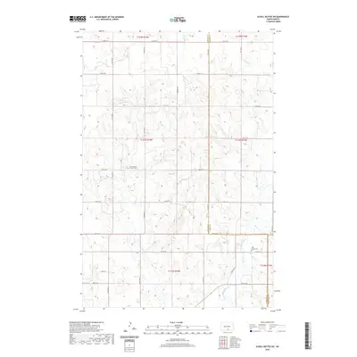 2020 Schell Buttes SW2020 Print · USGSLogan County’s open prairie and section-line roads are captured in the early twenty-first century as the landscape remains tied to its agricultural roots. Family historians can locate specific landmarks like Saint Michaels Catholic Cem or trace the path of Beaver Cr across the county line.
 - 2020 Map of Grassna, 2020 Print
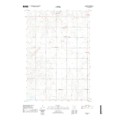 2020 Grassna2020 Print · USGSEmmons County remains a landscape of wide horizons and rural tradition in this modern survey of the northern plains. Genealogists and local historians can locate Holy Trinity Krassna Cem and trace the drainage of Cattail Cr and Decker Cr.
 - 2020 Map of Hazelton SW, 2020 Print
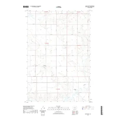 2020 Hazelton SW2020 Print · USGSEmmons County at the start of the twenty-first century reveals a deeply rooted rural landscape defined by prairie drainages and section-line roads. Researchers can trace family history through the Saint Johns Lutheran Cem, Baptist Cem, and the prominent Horsehead Valley.
 - 2020 Map of Braddock, 2020 Print
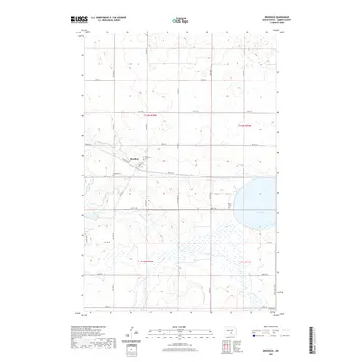 2020 Braddock2020 Print · USGSThe rural prairie landscape of Emmons County is meticulously documented here in the early twenty-first century. Genealogists and historians can locate three area cemeteries, including Saint Katherines Cem, and trace the southern Altamont Moraine near Goose Lake.
 - 2020 Map of Hague, 2020 Print
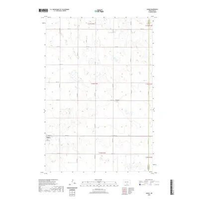 2020 Hague2020 Print · USGSHague and its surrounding prairie landscape are documented here in the early twenty-first century. Genealogists and local historians can locate Saint Marys Cem and trace the rural road network including Hulm Dr and the Schumacher Strip.
 - 2020 Map of Weisser Dam West, 2020 Print
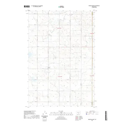 2020 Weisser Dam West2020 Print · USGSMcIntosh County remains a landscape of quiet prairie and deep-rooted tradition in the modern era. Genealogists and local historians can locate the Saint Aloysius Catholic Church Cem and trace the drainage of Beaver Cr.
 - 2020 Map of Braddock NW, 2020 Print
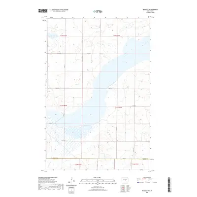 2020 Braddock NW2020 Print · USGSThe rural expanse of the North Dakota plains is captured here just as the new decade begins. Researchers can trace the extensive shoreline of Long Lake and follow the path of Long Lake Creek across the Burleigh and Emmons county line.
 - 2020 Map of Kiefer Buttes, 2020 Print
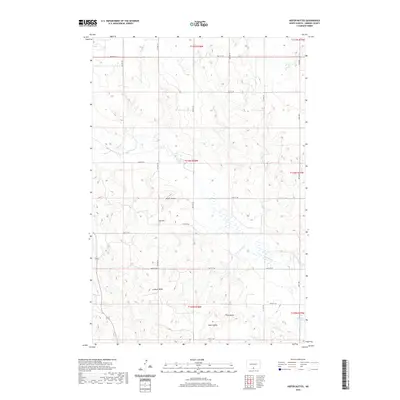 2020 Kiefer Buttes2020 Print · USGSIn the open ranchland of Emmons County, this contemporary survey captures a sparsely populated landscape of high buttes and prairie drainages. Researchers can trace the terrain around Kiefer Buttes, Hall Hill, and Becker Lake to understand the area's natural landmarks and water sources.
 - 2020 Map of Schell Buttes NW, 2020 Print
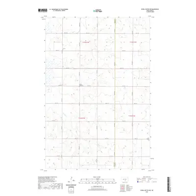 2020 Schell Buttes NW2020 Print · USGSTell Township and the surrounding prairie are captured here in the modern era, showing a landscape defined by its pioneer-era grid. Genealogists can locate family sites near the Finnish Evangelical Lutheran Cem, Tell Cem, and the drainage of Long Lake Cr.
 - 2020 Map of Sugarloaf Butte, 2020 Print
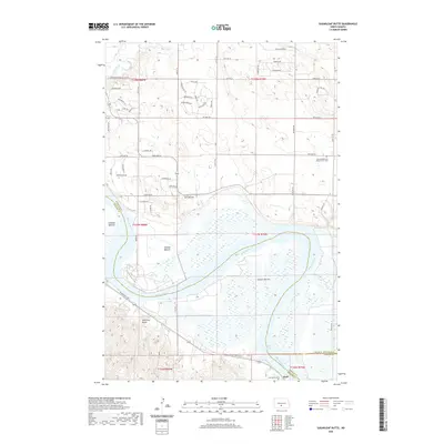 2020 Sugarloaf Butte2020 Print · USGSThe Missouri River floodplain south of Bismarck is captured here as it appeared in 2020, showing a landscape defined by its great river bottoms and high buttes. Researchers can trace the Roughrider Trail or locate family sites at Stewartsdale and Westminster Cem and Saint Martins Cem near Huff.
 - 2020 Map of Kintyre, 2020 Print
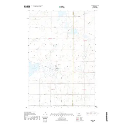 2020 Kintyre2020 Print · USGSKintyre and the surrounding prairie of Emmons County are detailed here in the early twenty-first century. Genealogists and local historians can trace the town site at Main Ave N and locate the nearby Kintyre Cem and Goose Lake.
 - 2020 Map of Pursian Lake, 2020 Print
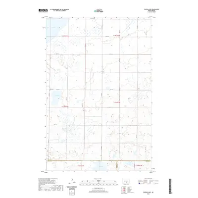 2020 Pursian Lake2020 Print · USGSThe prairie landscape of Logan and Kidder counties is shown here in the early twenty-first century, revealing a region defined by its wetland basins. Researchers can locate the Bethel Cem and trace the shorelines of Pursian Lake and Stink Lake.
 - 2020 Map of Fort Yates SE, 2020 Print
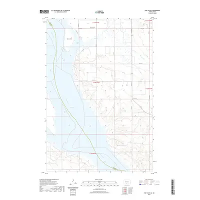 2020 Fort Yates SE2020 Print · USGSThe Missouri River valley in Sioux and Emmons counties appears here in its modern form following the creation of Lake Oahe. Researchers can trace the submerged river channel past Winona Island and explore the shoreline near Winona Flats and Cattail Bay.
 - 2020 Map of Cannon Ball, 2020 Print
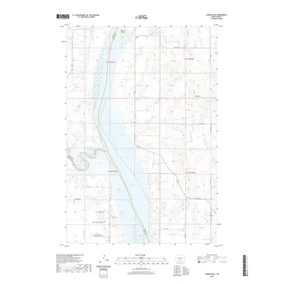 2020 Cannon Ball2020 Print · USGSThe Missouri River and Lake Oahe converge at the meeting point of three North Dakota counties in this recent survey. Researchers can trace local heritage at Saint Elizabeth's Catholic Cem or locate the Badger School near the banks of Badger Creek.
 - 2020 Map of Linton NE, 2020 Print
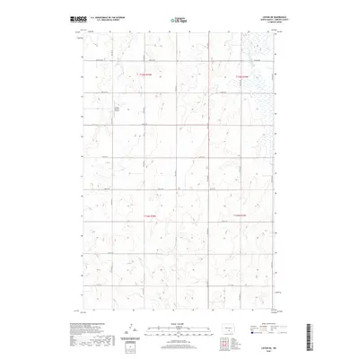 2020 Linton NE2020 Print · USGSEmmons County prairie lands north of Linton are captured here in the contemporary era, showcasing the intersection of aviation and agriculture. Researchers can trace the section-line road grid from 64th St SE to 71st St SE or locate the Saville Private Airport.
 - 2020 Map of Strasburg, 2020 Print
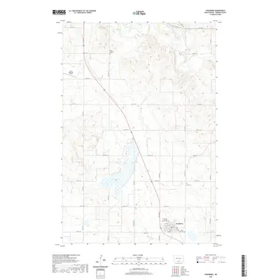 2020 Strasburg2020 Print · USGSEmmons County enters the twenty-first century with its agricultural roots and tight-knit settlements firmly intact. Genealogists can trace family lines through several local burial sites including Tiraspol Cem and the Pilgrim Home Cem near Strasburg.
 - 2020 Map of Huff NE, 2020 Print
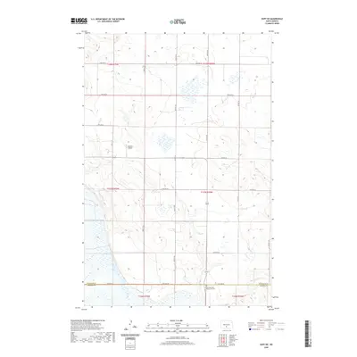 2020 Huff NE2020 Print · USGSThe rural expanse at the Burleigh and Emmons county line is captured in this contemporary topographic map. Local historians and genealogists can pinpoint the Sloan Memorial Presbyterian Cem or trace the private Kalberer Airport among the section-line roads.
 - 2020 Map of Moffit SW, 2020 Print
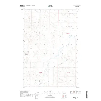 2020 Moffit SW2020 Print · USGSBuchanan Valley Township and the surrounding Emmons County prairies are captured here in the contemporary era. Local researchers can locate Snyders Airport, trace the drainages of Badger Cr, and identify landmarks like Rattlesnake Butte.
 - 2020 Map of Senger Lake South, 2020 Print
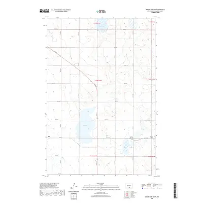 2020 Senger Lake South2020 Print · USGSEmmons County prairie life is centered around the communities of Hague and Hull during this modern era. Genealogists and local historians can trace family ties at the Old Saint Marys Cem and map the shoreline of Rice Lake.
 - 2020 Map of Moffit NW, 2020 Print
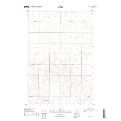 2020 Moffit NW2020 Print · USGSThe rural expanse of Burleigh and Emmons Counties comes into focus in this late twenty-first-century survey of the North Dakota prairie. Genealogists and local historians can trace the grid of section-line roads including Moffit Rd and find the small settlement of Brittin.
 - 2020 Map of Grassna NW, 2020 Print
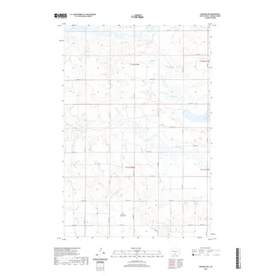 2020 Grassna NW2020 Print · USGSEmmons County at the turn of the decade is captured here through its network of sloughs, creeks, and rural cemeteries. Researchers can locate Saint Bernard Catholic Cem and trace the paths of Beaver Creek and Little Beaver Cr.
 - 2020 Map of Fort Rice, 2020 Print
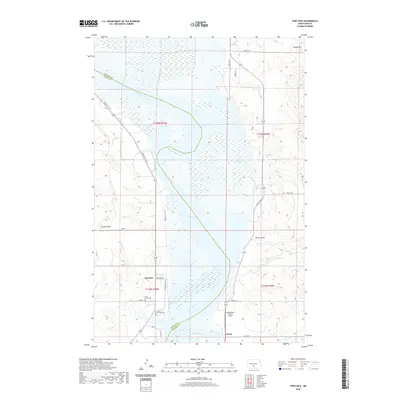 2020 Fort Rice2020 Print · USGSFort Rice and the Missouri River valley are captured in this recent survey, showcasing the expansive waters of Lake Oahe. You can trace the Roughrider Trail and locate the historic Fort Rice Cem and Saint Marys Cem near the riverbank.
 - 2020 Map of Grassna NE, 2020 Print
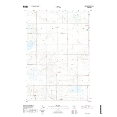 2020 Grassna NE2020 Print · USGSEmmons County agriculture and glacial hydrology are on full display in this 2020 survey of the North Dakota plains. Researchers can trace the section-line road grid past family-named water bodies like Maier Lake and landmarks such as Volk Butte and the Linton Municipal Airport.
 - 2020 Map of Hazelton, 2020 Print
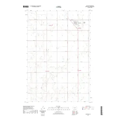 2020 Hazelton2020 Print · USGSHazelton and the surrounding Emmons County prairie are documented here in the early twenty-first century. Researchers can trace local lineage at Saint Paul Cem or Hazelton Cem and locate properties along Township Rd and Sand Cr.
 - 2020 Map of Westfield, 2020 Print
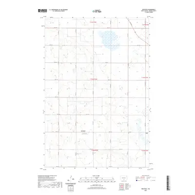 2020 Westfield2020 Print · USGSSouthern Emmons County comes into focus in this contemporary survey of the rural plains. Genealogists and local historians can trace the foundations of the area through the Westfield Cem and Hull Cem near the settlements of Westfield and Hull.
Showing maps 1-25 of 84
Top cities of Emmons County
- Linton historical maps
- Strasburg historical maps
- Hazelton historical maps
- Hague historical maps
- Braddock historical maps
Frequently asked questions
- What are the different types of historical maps available for Emmons County?
- What is the oldest map of Emmons County?
- Where can I purchase historical maps of Emmons County for my home or office?
- Where can I download high-res historical maps of Emmons County?
- Are there historical topographic maps available for Emmons County?
- Is there historical aerial imagery available for Emmons County?
- Where are historical maps of Emmons County sourced from?