2000s (21st Century) Maps of Emmons County, North Dakota
Explore 225 historic maps of Emmons County from the 2000s (21st Century). These maps offer a rare glimpse into what life looked like during the 2000s — showing old roads, neighborhoods, homes, and landmarks that have changed or disappeared over time.
Whether you're researching your family's past, planning a metal detecting trip, or studying how Emmons County's landscape evolved across the 2000s, these high-resolution maps are a powerful tool for exploring the history of this region.
- Focus on a specific era: All maps on this page are from the 2000s, giving you a focused view of this time period.
- See what’s changed: Compare century-old streets, trails, and buildings to today's modern landscape using overlays and satellite layers.
- Research with precision: Use these maps for genealogy, historical research, land use analysis, or educational projects.
- View, download, or print: Maps are fully viewable online in high resolution, and can be downloaded or printed for your own records.
Start exploring Emmons County's history through authentic maps from the 2000s. This is your window into the past.
Emmons County, ND maps
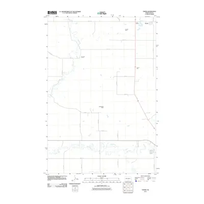
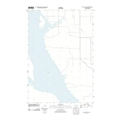
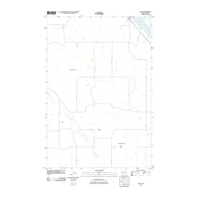
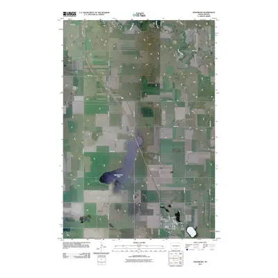
(225)- 2011 Map of Moffit NW, 2011 Print
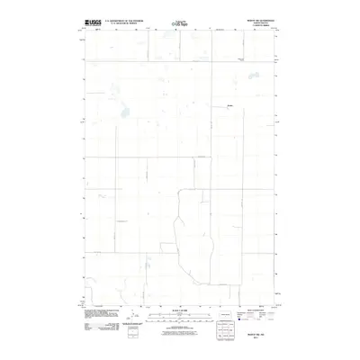 2011 Moffit NW2011 Print · USGSCovers Emmons County, including Buchanan Valley Township, Brittin, and other nearby areas
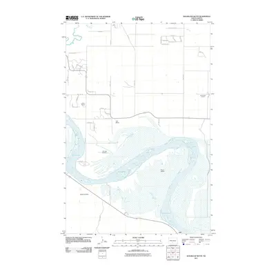
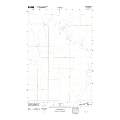
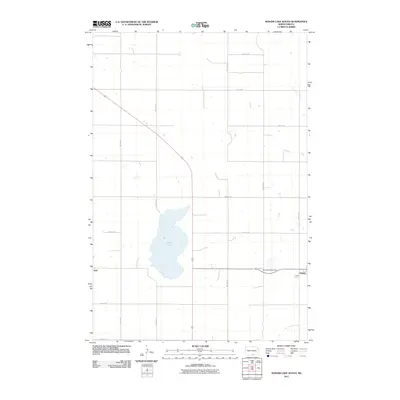
 - 2011 Map of Senger Lake North, 2011 Print
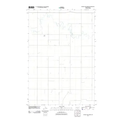 2011 Senger Lake North2011 Print · USGSCovers Emmons County, including United States, North Dakota, and other nearby areas
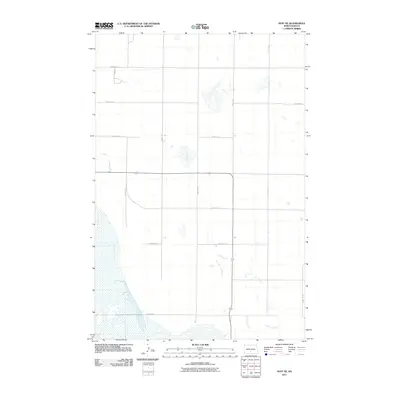
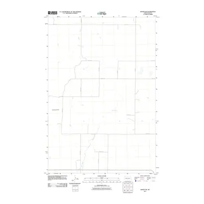
 - 2011 Map of Moffit, 2011 Print
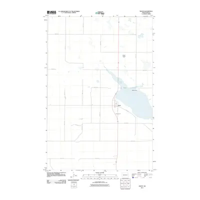 2011 Moffit2011 Print · USGSCovers Emmons County, including Moffit, Buchanan Valley Township, and other nearby areas
 - 2011 Map of Kiefer Buttes, 2011 Print
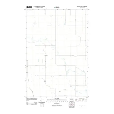 2011 Kiefer Buttes2011 Print · USGSCovers Emmons County, including United States, North Dakota, and other nearby areas
 - 2011 Map of Temvik, 2011 Print
 2011 Temvik2011 Print · USGSCovers Emmons County, including Temvik, United States, and other nearby areas
 - 2011 Map of Huff NE, 2011 Print
 2011 Huff NE2011 Print · USGSCovers Emmons County, including Burleigh County, United States, and other nearby areas
 - 2011 Map of Grassna NE, 2011 Print
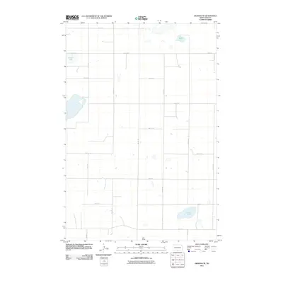 2011 Grassna NE2011 Print · USGSCovers Emmons County, including United States, North Dakota, and other nearby areas
 - 2011 Map of Appert Lake, 2011 Print
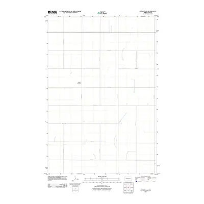 2011 Appert Lake2011 Print · USGSCovers Emmons County, including Hazelton Township, Lincoln Township, and other nearby areas
 - 2011 Map of Moffit SE, 2011 Print
 2011 Moffit SE2011 Print · USGSCovers Emmons County, including Buchanan Valley Township, Hazelton Township, and other nearby areas
 - 2011 Map of Cannon Ball SE, 2011 Print
 2011 Cannon Ball SE2011 Print · USGSCovers Emmons County, including Cannonball District, Cannon Ball, and other nearby areas
 - 2011 Map of Braddock, 2011 Print
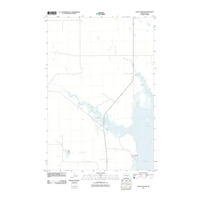
 2011 Braddock2011 Print · USGSCovers Emmons County, including Braddock, Tell Township, and other nearby areas
 - 2011 Map of Fort Yates NE, 2011 Print
 2011 Fort Yates NE2011 Print · USGSCovers Emmons County, including Cannon Ball, Fort Yates District, and other nearby areas
 - 2011 Map of Fort Yates SE, 2011 Print
 2011 Fort Yates SE2011 Print · USGSCovers Emmons County, including Fort Yates District, Kenel District, and other nearby areas
 - 2011 Map of Sugarloaf Butte, 2011 Print
 2011 Sugarloaf Butte2011 Print · USGSCovers Emmons County, including Burleigh County, Morton County, and other nearby areas
 - 2011 Map of Hazelton NW, 2011 Print
 2011 Hazelton NW2011 Print · USGSCovers Emmons County, including United States, North Dakota, and other nearby areas
 - 2011 Map of Fort Yates NW, 2011 Print
 2011 Fort Yates NW2011 Print · USGSCovers Emmons County, including Cannon Ball, Fort Yates District, and other nearby areas
 - 2011 Map of Huff, 2011 Print
 2011 Huff2011 Print · USGSCovers Emmons County, including Huff, Morton County, and other nearby areas
 - 2011 Map of Dana, 2011 Print
 2011 Dana2011 Print · USGSCovers Emmons County, including Hazelton Township, Lincoln Township, and other nearby areas
 - 2011 Map of Linton, 2011 Print
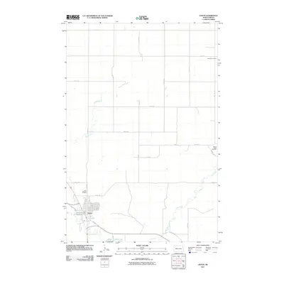 2011 Linton2011 Print · USGSCovers Emmons County, including Linton, United States, and other nearby areas
 - 2011 Map of Moffit SW, 2011 Print
 2011 Moffit SW2011 Print · USGSCovers Emmons County, including Buchanan Valley Township, United States, and other nearby areas
 - 2011 Map of Strasburg, 2011 Print
 2011 Strasburg2011 Print · USGSCovers Emmons County, including Strasburg, United States, and other nearby areas
 - 2011 Map of Senger Lake South, 2011 Print
 2011 Senger Lake South2011 Print · USGSCovers Emmons County, including Hague, Hull, and other nearby areas
 - 2011 Map of Linton NE, 2011 Print
 2011 Linton NE2011 Print · USGSCovers Emmons County, including Tell Township, Lincoln Township, and other nearby areas
 - 2011 Map of Hazelton, 2011 Print
 2011 Hazelton2011 Print · USGSCovers Emmons County, including Hazelton, Hazelton Township, and other nearby areas
 - 2011 Map of Zeeland NW, 2011 Print
 2011 Zeeland NW2011 Print · USGSCovers Emmons County, including Campbell County, McIntosh County, and other nearby areas
Showing maps 1-25 of 225
Top cities of Emmons County
- Linton historical maps
- Strasburg historical maps
- Hazelton historical maps
- Hague historical maps
- Braddock historical maps
Frequently asked questions
- What are the different types of historical maps available for Emmons County?
- What is the oldest map of Emmons County?
- Where can I purchase historical maps of Emmons County for my home or office?
- Where can I download high-res historical maps of Emmons County?
- Are there historical topographic maps available for Emmons County?
- Is there historical aerial imagery available for Emmons County?
- Where are historical maps of Emmons County sourced from?