2010s Maps of Emmons County, North Dakota
Explore 141 historic maps of Emmons County from the 2010s. These maps offer a rare glimpse into what life looked like during the 2010s — showing old roads, neighborhoods, homes, and landmarks that have changed or disappeared over time.
Whether you're researching your family's past, planning a metal detecting trip, or studying how Emmons County's landscape evolved across the 2010s, these high-resolution maps are a powerful tool for exploring the history of this region.
- Focus on a specific era: All maps on this page are from the 2010s, giving you a focused view of this time period.
- See what’s changed: Compare century-old streets, trails, and buildings to today's modern landscape using overlays and satellite layers.
- Research with precision: Use these maps for genealogy, historical research, land use analysis, or educational projects.
- View, download, or print: Maps are fully viewable online in high resolution, and can be downloaded or printed for your own records.
Start exploring Emmons County's history through authentic maps from the 2010s. This is your window into the past.
Emmons County, ND maps
(141)- 2011 Map of Moffit NW, 2011 Print
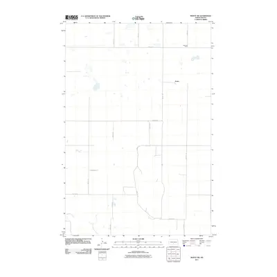 2011 Moffit NW2011 Print · USGSBuchanan Valley Township is shown in the early twenty-first century as a landscape of wide-open ranchland and prairie potholes. Researchers can trace the rural layout of Black Leg Ranch and the settlement of Brittin alongside the path of Glencoe Creek.
 - 2011 Map of Senger Lake North, 2011 Print
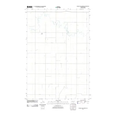 2011 Senger Lake North2011 Print · USGSThe rural expanses of Emmons County are captured here in the early twenty-first century, showing a landscape shaped by water and tradition. Genealogists can locate Sacred Heart Cemetery or trace the winding path of Beaver Creek through the section-line road grid.
 - 2011 Map of Moffit, 2011 Print
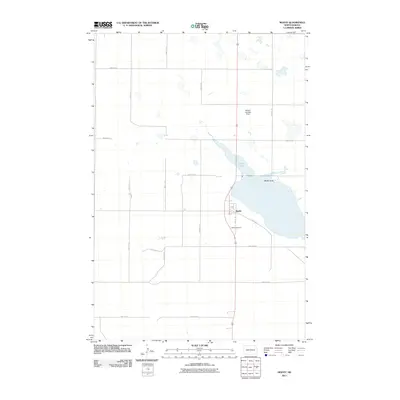 2011 Moffit2011 Print · USGSThe small prairie settlement of Moffit is shown in detail during the early 21st century, set against the waters of Long Lake. Genealogists and local researchers can locate the Moffit Cemetery or trace the geography of landmarks like Moffit Butte and the Bailery Landing Strip.
 - 2011 Map of Kiefer Buttes, 2011 Print
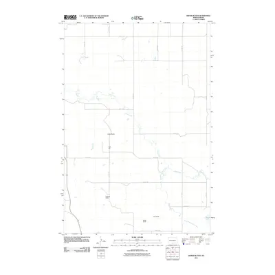 2011 Kiefer Buttes2011 Print · USGSEmmons County remains a landscape of prominent prairie landforms and creek drainages in this 2011 survey. Researchers can trace family-named features like Kiefer Buttes, Smith Butte, and Becker Lake across a grid of rural section roads.
 - 2011 Map of Temvik, 2011 Print
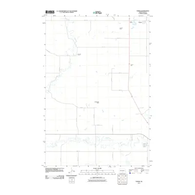 2011 Temvik2011 Print · USGSEmmons County land use and drainage patterns are recorded here as they appeared in the early twenty-first century. Genealogists and local historians can locate early burial sites at Temvik Cemetery and Sand Creek Cemetery, or trace the waters of Beaver Creek.
 - 2011 Map of Huff NE, 2011 Print
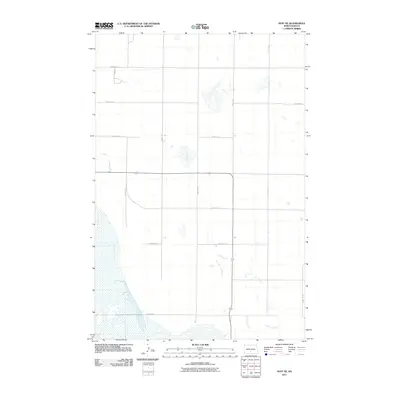 2011 Huff NE2011 Print · USGSBurleigh County’s rural landscape is captured here in the early 2000s, defined by its rigid grid of section-line roads and prairie potholes. Genealogists can trace property access and land use along Glencoe Creek, 184th St SE, and 128th Ave SE.
 - 2011 Map of Grassna NE, 2011 Print
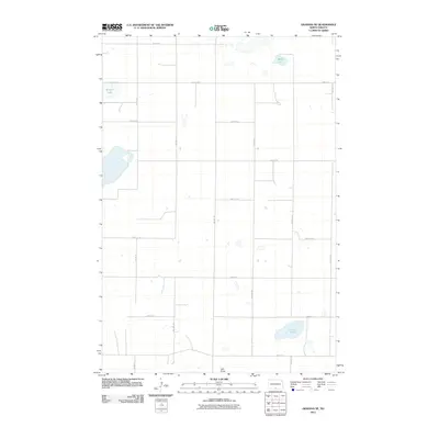 2011 Grassna NE2011 Print · USGSEmmons County at the start of the twenty-first century remains a landscape of section-line roads and prairie waters. Researchers can trace land patterns around Schwahn Lake, locate the elevation of Volk Butte, and follow the course of Little Beaver Creek.
 - 2011 Map of Appert Lake, 2011 Print
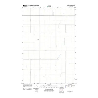 2011 Appert Lake2011 Print · USGSEmmons County agricultural lands are captured here at the start of the decade, showing the precise grid of section-line roads and prairie drainage. Researchers can locate specific water management features like the Appert Lake Dam and the winding course of the West Branch Long Lake Creek.
 - 2011 Map of Moffit SE, 2011 Print
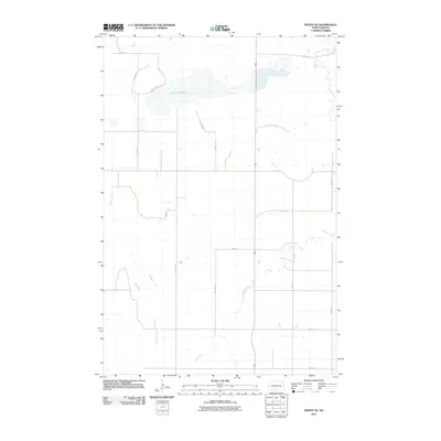 2011 Moffit SE2011 Print · USGSBuchanan Valley Township remains a landscape of traditional section-line farming and prairie drainage systems in the early twenty-first century. Genealogists and land researchers can trace property boundaries along 55th St SE or map the natural hydrology of Dutton Slough and Hawk Creek.
 - 2011 Map of Cannon Ball SE, 2011 Print
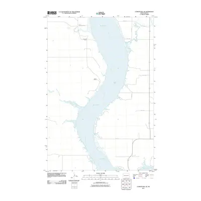 2011 Cannon Ball SE2011 Print · USGSThe Missouri River shoreline in Sioux County is captured here in the early twenty-first century. Genealogists can locate significant sites including Saint James Cemetery and Old Catholic Cemetery overlooking the Kenel Flats.
 - 2011 Map of Braddock, 2011 Print
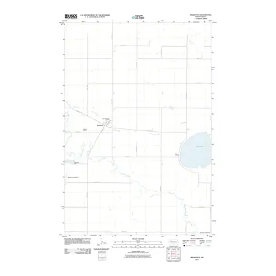 2011 Braddock2011 Print · USGSThe rural prairie landscape of Emmons County is meticulously documented in this early 21st-century survey of Braddock. Genealogists and local historians can locate several family burial sites, including Saint Katherines and Maria Cemetery, alongside the Braddock Dam.
 - 2011 Map of Fort Yates NE, 2011 Print
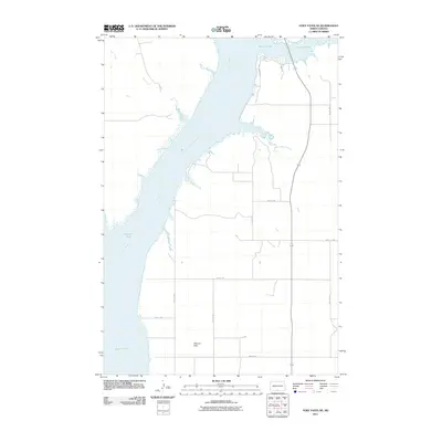 2011 Fort Yates NE2011 Print · USGSThe Missouri River valley along the North Dakota border comes into focus in this early twenty-first-century survey. Genealogists and researchers can trace the rural landscape across Kenel Flats, Winona Flats, and the drainage of Bone Creek.
 - 2011 Map of Fort Yates SE, 2011 Print
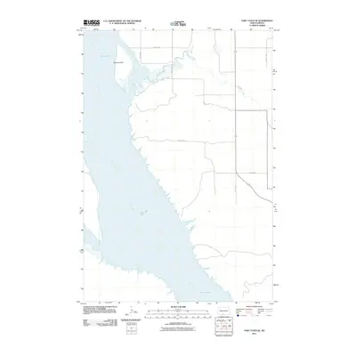 2011 Fort Yates SE2011 Print · USGSThe Missouri River floodplain in Sioux County is captured here in the early twenty-first century, showing the intersection of water and land. Researchers can trace the boundaries of Kenel Flats, the position of Winona Island, and the path of Cattail Creek.
 - 2011 Map of Sugarloaf Butte, 2011 Print
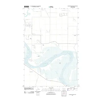 2011 Sugarloaf Butte2011 Print · USGSThe Missouri River lowlands of Burleigh County are captured here in the early twenty-first century, showing the intricate channels of Kenel Flats. Researchers can trace local landmarks like Sugarloaf Butte, Stewartsdale Cemetery, and the settlement of Huff.
 - 2011 Map of Hazelton NW, 2011 Print
 2011 Hazelton NW2011 Print · USGSEmmons County in the early twenty-first century remains a landscape of quiet prairie stretches and section-line roads. Genealogists and local historians can locate specific burial sites like Gimble Cemetery and Merkle Cemetery or trace the course of Horsehead Creek.
 - 2011 Map of Fort Yates NW, 2011 Print
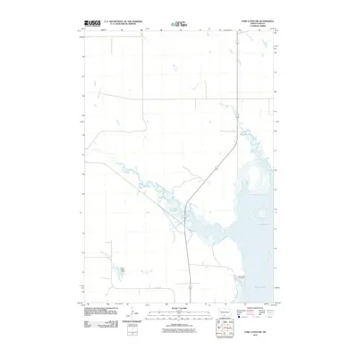 2011 Fort Yates NW2011 Print · USGSThe Missouri River floodplain and the high plains of Sioux County are captured here in the early twenty-first century. Researchers can trace the winding paths of Battle Creek and Porcupine Creek or locate the quiet grounds of Saint Lukes Cemetery near Kenel Flats.
 - 2011 Map of Huff, 2011 Print
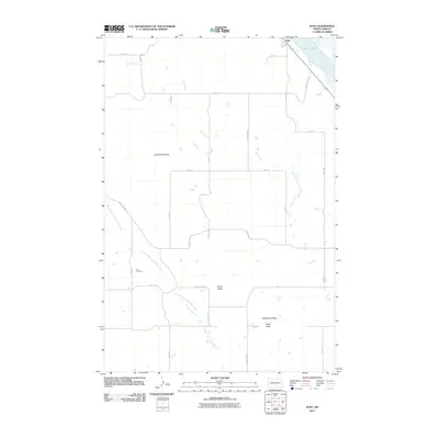 2011 Huff2011 Print · USGSMorton County in the early twenty-first century reveals a landscape where the Missouri River meets the high prairie bluffs near Huff. Researchers can locate family landmarks like Park Cemetery or trace the geography around Ambulance Butte and Signal Butte.
 - 2011 Map of Dana, 2011 Print
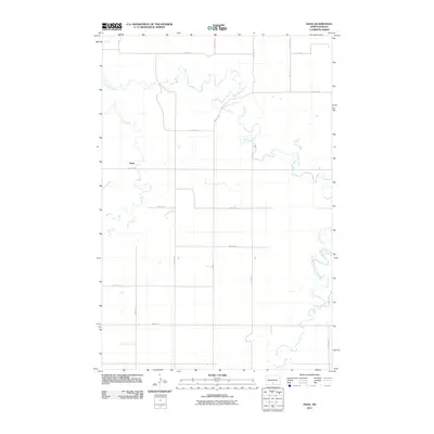 2011 Dana2011 Print · USGSThe rural prairie of Emmons County appears here in the early twenty-first century, organized by a precise grid of section roads and winding waterways. Researchers can trace the path of Long Lake Creek and locate the small settlement of Dana near Hawk Creek.
 - 2011 Map of Linton, 2011 Print
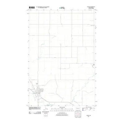 2011 Linton2011 Print · USGSEmmons County in the early 2010s reveals a prairie landscape centered on the settlement of Linton. Genealogists and local historians can trace family locations through Saint Anthonys Cemetery and Bethlehem Cemetery or follow the paths of Beaver Creek and Spring Creek.
 - 2011 Map of Moffit SW, 2011 Print
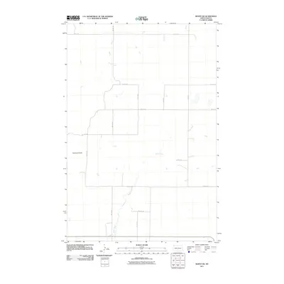 2011 Moffit SW2011 Print · USGSThe North Dakota prairie of Buchanan Valley Township is shown here in the early twenty-first century, marked by its signature section-line grid. Researchers can trace the path of Badger Creek and Glencoe Creek or locate landmarks like Rattlesnake Butte.
 - 2011 Map of Strasburg, 2011 Print
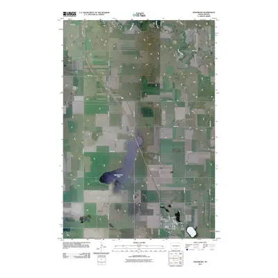 2011 Strasburg2011 Print · USGSIn the early twenty-first century, this North Dakota prairie landscape centers on the small community of Strasburg. Local historians and genealogists can trace the town's street grid and find the Reform Cemetery, while also identifying landmarks like Baumgartner Lake and the Linton Municipal Airport.
 - 2011 Map of Senger Lake South, 2011 Print
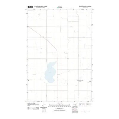 2011 Senger Lake South2011 Print · USGSAgriculture and prairie life in Emmons County are captured here just after the turn of the millennium. Genealogists and local historians can locate Saint Marys Cemetery and trace the relationship between the small settlements of Hague, Hull, and the waters of Rice Lake.
 - 2011 Map of Linton NE, 2011 Print
 2011 Linton NE2011 Print · USGSThe North Dakota prairie in the early twenty-first century shows a landscape of precise section-line grids and glacial terrain. You can trace the Altamont Moraine and locate rural landmarks like the Saville Private Air Strip along Long Lake Creek.
 - 2011 Map of Hazelton, 2011 Print
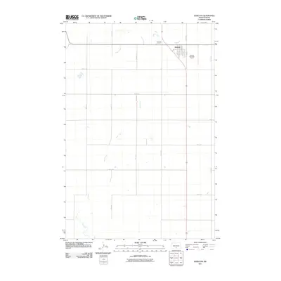 2011 Hazelton2011 Print · USGSHazelton and the surrounding Emmons County prairies are shown in detail during the early twenty-first century. Genealogists and local historians can locate Saint Paul Cemetery, the Hazelton Municipal Airport, and the specific street grid including Hazel Ave.
 - 2011 Map of Zeeland NW, 2011 Print
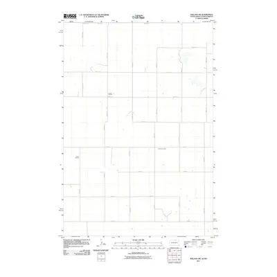 2011 Zeeland NW2011 Print · USGSThe rural borderlands of South Dakota and North Dakota are shown in this modern survey, capturing a landscape of section-line roads and prairie wetlands. Genealogists can locate significant sites including Freidens Cemetery and Baptist Cemetery along the local grid.
Showing maps 1-25 of 141
Top cities of Emmons County
- Linton historical maps
- Strasburg historical maps
- Hazelton historical maps
- Hague historical maps
- Braddock historical maps
Frequently asked questions
- What are the different types of historical maps available for Emmons County?
- What is the oldest map of Emmons County?
- Where can I purchase historical maps of Emmons County for my home or office?
- Where can I download high-res historical maps of Emmons County?
- Are there historical topographic maps available for Emmons County?
- Is there historical aerial imagery available for Emmons County?
- Where are historical maps of Emmons County sourced from?