2020s Maps of Oliver County, North Dakota
Explore 56 historic maps of Oliver County from the 2020s. These maps offer a rare glimpse into what life looked like during the 2020s — showing old roads, neighborhoods, homes, and landmarks that have changed or disappeared over time.
Whether you're researching your family's past, planning a metal detecting trip, or studying how Oliver County's landscape evolved across the 2020s, these high-resolution maps are a powerful tool for exploring the history of this region.
- Focus on a specific era: All maps on this page are from the 2020s, giving you a focused view of this time period.
- See what’s changed: Compare century-old streets, trails, and buildings to today's modern landscape using overlays and satellite layers.
- Research with precision: Use these maps for genealogy, historical research, land use analysis, or educational projects.
- View, download, or print: Maps are fully viewable online in high resolution, and can be downloaded or printed for your own records.
Start exploring Oliver County's history through authentic maps from the 2020s. This is your window into the past.
Oliver County, ND maps
(56)- 2020 Map of Harmon, 2020 Print
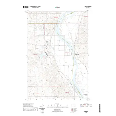 2020 Harmon2020 Print · USGSThe Missouri River bluffs in Burleigh and Morton Counties appear here in the early twenty-first century. Genealogists and historians can locate the Harmon Cem and explore the site of the Double Ditch Indian Village near Harmon Lake.
 - 2020 Map of New Salem NE, 2020 Print
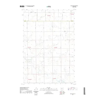 2020 New Salem NE2020 Print · USGSThe rural border of Morton and Oliver Counties comes into focus in this contemporary survey of North Dakota's prairie. Researchers can locate family heritage sites like the Churchtown Lutheran Cem and Lutheran Bremen Cem along the banks of Sweetbriar Creek.
 - 2020 Map of Otter Creek, 2020 Print
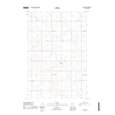 2020 Otter Creek2020 Print · USGSThe rural expanses of Oliver County are captured here in the contemporary era, showing a landscape shaped by section lines and small family history sites. Genealogists can locate Otter Creek Cem and Moos Cem among the grid of local routes like Hannover Rd.
 - 2020 Map of Washburn SW, 2020 Print
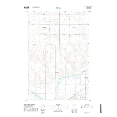 2020 Washburn SW2020 Print · USGSThe Missouri River flows through this rural stretch of North Dakota at the start of the 2020s, dividing McLean and Oliver counties. Genealogists and local historians can trace family roots at Birka Lutheran Cem or follow the path of Coal Lake Coulee toward the river valley.
 - 2020 Map of Hailstone Butte, 2020 Print
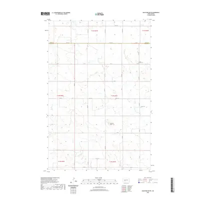 2020 Hailstone Butte2020 Print · USGSMorton and Oliver counties are documented here in the early twenty-first century, showing the enduring agricultural grid of the North Dakota prairie. Genealogists can locate family landmarks such as Saint Markus Cem and Bluegrass Cem near the prominent Hailstone Butte.
 - 2020 Map of Fort Clark SE, 2020 Print
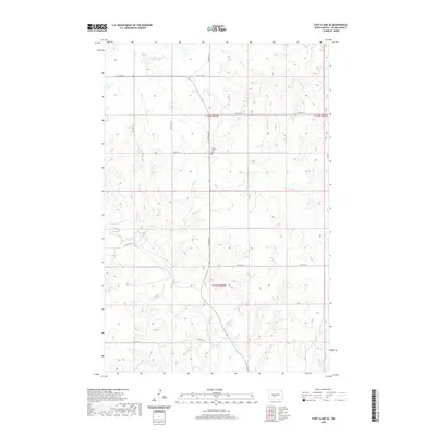 2020 Fort Clark SE2020 Print · USGSOliver County near Fort Clark is documented here in the early twenty-first century, showing the intersection of rural life and the prairie landscape. Genealogists and local historians can locate the Yucca Catholic Cem and trace the paths of Square Butte Cr and Sherk Cr.
 - 2020 Map of Bluegrass, 2020 Print
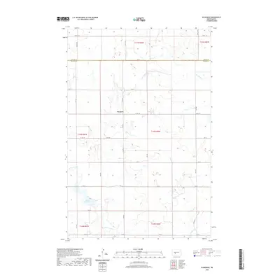 2020 Bluegrass2020 Print · USGSMorton County in the early twenty-first century remains a landscape of open prairie and section-line roads centered on the settlement of Bluegrass. Researchers can trace local drainage patterns along Hailstone Creek or locate the shores of Storm Creek Lake.
 - 2020 Map of Hannover, 2020 Print
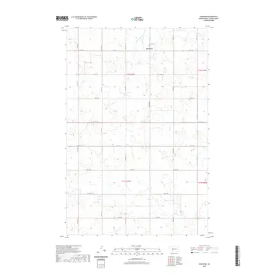 2020 Hannover2020 Print · USGSHannover and the open prairies of Oliver County are captured here in the contemporary era. Researchers can trace the layout of the township grid, locating the central settlement of Hannover and the resting places at Hannover Cem near Square Butte Cr.
 - 2020 Map of Fort Clark, 2020 Print
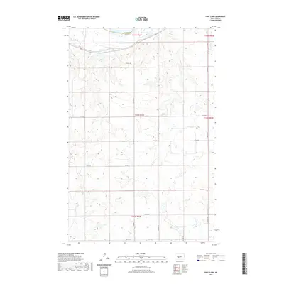 2020 Fort Clark2020 Print · USGSThe Missouri River bottomlands meet the high prairie at the site of Fort Clark in the modern day. Genealogists and historians can trace the legacy of the fur trade era alongside current rural landmarks like Mandan Lake and 15th St Sw.
 - 2020 Map of Washburn, 2020 Print
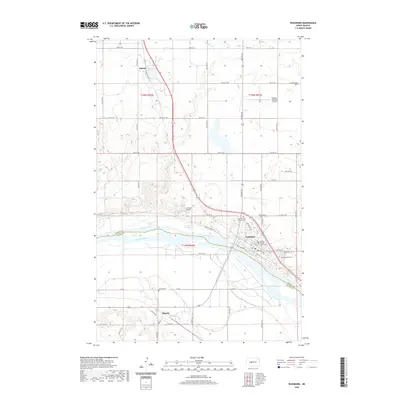 2020 Washburn2020 Print · USGSWashburn sits at a prominent bend in the Missouri River during the early twenty-first century, serving as a vital McLean County hub. Genealogists and local historians can trace family plots at Zion German Lutheran Cem or Riverview Cem and locate the historic McLean County Courthouse.
 - 2020 Map of Medicine Butte SE, 2020 Print
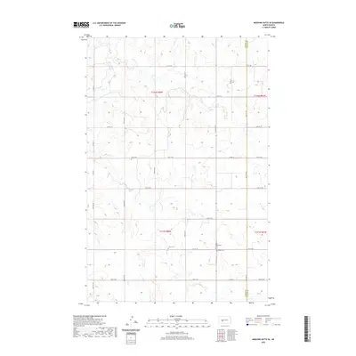 2020 Medicine Butte SE2020 Print · USGSMercer and Oliver Counties appear in this contemporary survey of the North Dakota prairie, revealing a deeply-rooted agricultural landscape. Genealogists can locate several remote burial sites, including New Gluecksthal Cem, Unruh Cem, and Peace Cem.
 - 2020 Map of Crown Butte NW, 2020 Print
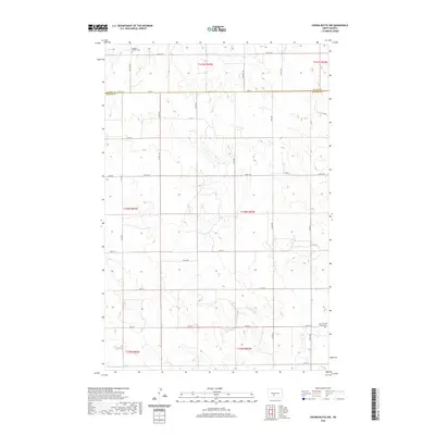 2020 Crown Butte NW2020 Print · USGSThe borderlands of Oliver and Morton counties are captured in this contemporary look at the North Dakota plains. Genealogists and local historians can locate rural landmarks such as Rosebud Catholic Cemetery and Saint Vincent Church Cemetery.
 - 2020 Map of Red Butte NW, 2020 Print
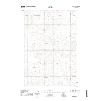 2020 Red Butte NW2020 Print · USGSMercer and Oliver counties are captured here in the early twenty-first century as agricultural grids cross the North Dakota plains. Genealogists and local historians can locate Rhein Cem and trace the drainage of Otter Cr and Brush Cr.
 - 2020 Map of Medicine Butte NE, 2020 Print
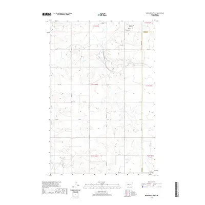 2020 Medicine Butte NE2020 Print · USGSThe southern fringes of Beulah and the agricultural stretches of Mercer County are captured here in the twenty-first century. Genealogists can locate family sites near Rose Hill Cem and Emmaus Cem along the winding path of Brush Cr.
 - 2020 Map of Red Butte SW, 2020 Print
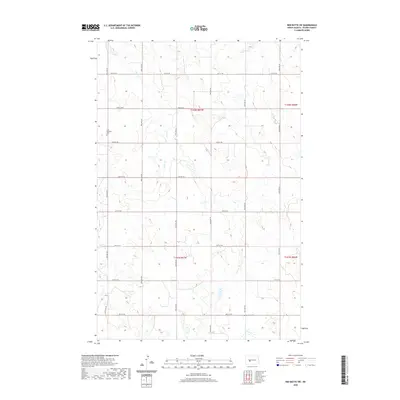 2020 Red Butte SW2020 Print · USGSOliver County's agricultural grid remains remarkably consistent in the 2020s, defined by the steady flow of Brush Cr through the prairie. Genealogists can locate legacy landmarks like Saint Benedict Cem and Buchmann Cem along the section roads.
 - 2020 Map of Center, 2020 Print
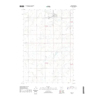 2020 Center2020 Print · USGSThe Oliver County seat is captured here in the early twenty-first century, showing the small-town layout and surrounding prairie. Family historians can locate Hagerott Cem, Saint Martins Cem, and the Oliver County Courthouse within this rural grid.
 - 2020 Map of Red Butte, 2020 Print
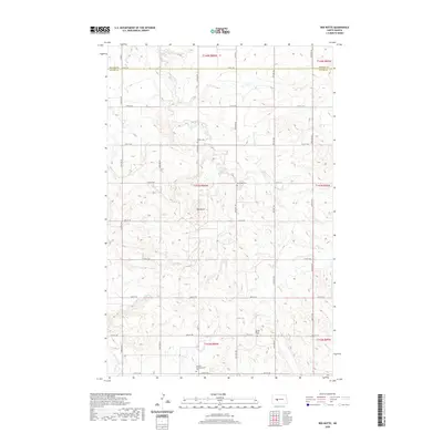 2020 Red Butte2020 Print · USGSThe open prairie of the Missouri Plateau transitions across the Mercer and Oliver county line in this contemporary survey of rural North Dakota. Researchers can trace the winding course of Brady Cr as it drains the upland draws between the region’s expansive ranchlands and section-line roads.
 - 2020 Map of Hannover NE, 2020 Print
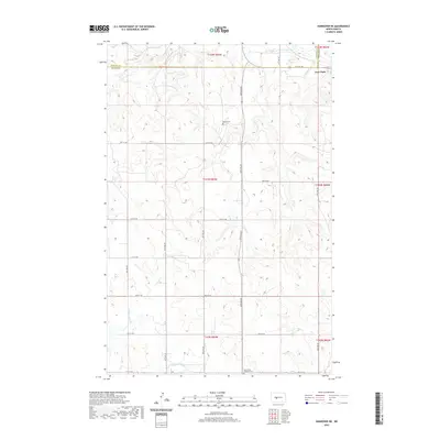 2020 Hannover NE2020 Print · USGSNorth Dakota's rural heartland is captured here in the years following the turn of the millennium, showing the intersection of Mercer and Oliver counties. Genealogists can locate family landmarks like Bagley Cem and Saint Pauls Lutheran Cem near the small community of Fort Clark.
 - 2020 Map of New Salem NW, 2020 Print
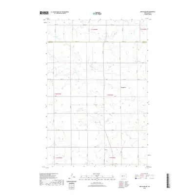 2020 New Salem NW2020 Print · USGSThe North Dakota prairie near the Oliver Co line is captured here in the early twenty-first century. Researchers can trace the rural landscape around Youngtown and find landmarks like Mosbrucker Lake and the meandering Sweetbriar Cr.
 - 2020 Map of Crown Butte, 2020 Print
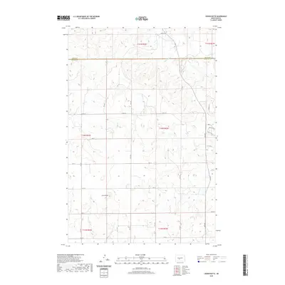 2020 Crown Butte2020 Print · USGSMorton County at the turn of the 21st century reveals a landscape shaped by the prominent Crown Butte and the winding Square Butte Creek. Trace property lines and evolving rural development along County Road 140 and new residential lanes like Jonathan Drive N.
 - 2020 Map of Nelson Lake, 2020 Print
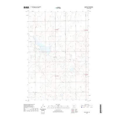 2020 Nelson Lake2020 Print · USGSOliver County agricultural lands and water systems are documented here in the modern era. Genealogists and land researchers can trace the intersection of section lines with natural landmarks like Nelson Lake, Square Butte, and the headwaters of Hagel Cr.
 - 2020 Map of Hannover NW, 2020 Print
 2020 Hannover NW2020 Print · USGSThe rural borderlands of Mercer and Oliver County are captured here in the contemporary era of North Dakota agriculture. Genealogists and local historians can locate the Pleasant Valley Methodist Cem and trace the paths of Kinneman Cr and Square Butte Cr.
 - 2020 Map of Stanton SE, 2020 Print
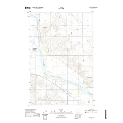 2020 Stanton SE2020 Print · USGSThe Missouri River breaks through the North Dakota prairie in this 2020 survey of the borderlands between McLean and Mercer counties. Researchers can locate Basto Cem and the Knife River Indian Villages National Historic Site or trace the path of The Cow Trl.
 - 2020 Map of Glen Ullin NE, 2020 Print
 2020 Glen Ullin NE2020 Print · USGSMorton County's rural landscape is captured here in the modern era, showing the enduring grid of section-line roads and prairie streams. Researchers can trace the path of Wilson Cr or locate the tri-county junction at Mercer Co Oliver Co Morton Co.
 - 2020 Map of Fort Clark NE, 2020 Print
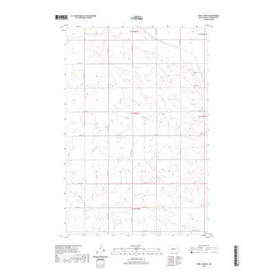 2020 Fort Clark NE2020 Print · USGSOliver County is shown in the modern era as a landscape of structured section lines and quiet homesteads. Genealogists and local historians can trace family ties at small rural burial grounds like Bagnell Cem, Gaines Cem, and Sanger Cem.
Showing maps 1-25 of 56
Top cities of Oliver County
Frequently asked questions
- What are the different types of historical maps available for Oliver County?
- What is the oldest map of Oliver County?
- Where can I purchase historical maps of Oliver County for my home or office?
- Where can I download high-res historical maps of Oliver County?
- Are there historical topographic maps available for Oliver County?
- Is there historical aerial imagery available for Oliver County?
- Where are historical maps of Oliver County sourced from?