2010s Maps of Oliver County, North Dakota
Explore 84 historic maps of Oliver County from the 2010s. These maps offer a rare glimpse into what life looked like during the 2010s — showing old roads, neighborhoods, homes, and landmarks that have changed or disappeared over time.
Whether you're researching your family's past, planning a metal detecting trip, or studying how Oliver County's landscape evolved across the 2010s, these high-resolution maps are a powerful tool for exploring the history of this region.
- Focus on a specific era: All maps on this page are from the 2010s, giving you a focused view of this time period.
- See what’s changed: Compare century-old streets, trails, and buildings to today's modern landscape using overlays and satellite layers.
- Research with precision: Use these maps for genealogy, historical research, land use analysis, or educational projects.
- View, download, or print: Maps are fully viewable online in high resolution, and can be downloaded or printed for your own records.
Start exploring Oliver County's history through authentic maps from the 2010s. This is your window into the past.
Oliver County, ND maps
(84)- 2011 Map of Harmon, 2011 Print
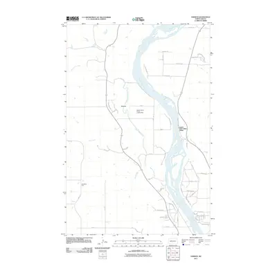 2011 Harmon2011 Print · USGSThe Missouri River corridor north of Bismarck is captured here in the early twenty-first century, featuring both ancient sites and modern ranching. Researchers can trace the grounds of Double Ditch Indian Village or locate the Wachter Ranch Private Landing Strip and the settlement of Harmon.
 - 2011 Map of Hannover NW, 2011 Print
 2011 Hannover NW2011 Print · USGSMercer County at the start of the 2010s remains a landscape of traditional section-line grids and prairie waterways. Genealogists and local historians can trace the paths of Square Butte Creek and Brady Creek or locate ancestral farmsteads along 18th St SW.
 - 2011 Map of Center, 2011 Print
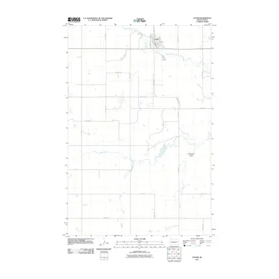 2011 Center2011 Print · USGSThe Oliver County seat of Center is shown in detail during the early twenty-first century, surrounded by a classic Great Plains section-line road grid. Researchers can trace the town's street plan or locate the Square Butte Number 4 Dam and the meandering Square Butte Creek.
 - 2011 Map of Medicine Butte SE, 2011 Print
 2011 Medicine Butte SE2011 Print · USGSMercer County's prairie landscape is captured here in the early twenty-first century, showing the enduring grid of rural life and community heritage. Genealogists can locate family landmarks such as Peace Cemetery, Unruh Cemetery, and Voegele Cemetery.
 - 2011 Map of Hannover NE, 2011 Print
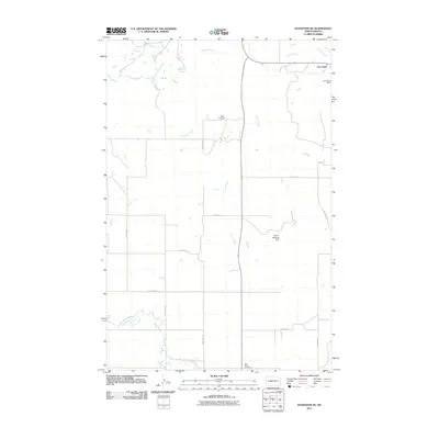 2011 Hannover NE2011 Print · USGSThe Missouri River uplands of North Dakota are captured here during the early twenty-first century. Genealogists and local historians can map the grid of section-line roads to reach Bagley Cemetery, Saint Pauls Cemetery, and the historic area of Fort Clark.
 - 2011 Map of Fort Clark NE, 2011 Print
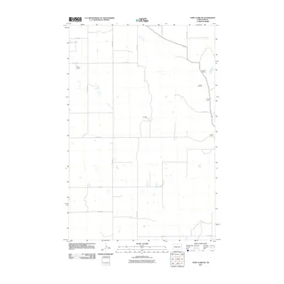 2011 Fort Clark NE2011 Print · USGSOliver County ranching and river history are preserved here in the years following the turn of the millennium. Genealogists and local researchers can trace the locations of Sanger Cemetery, Bagnell Cemetery, and the riverfront Cross Ranch.
 - 2011 Map of Washburn, 2011 Print
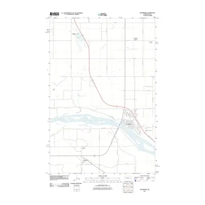 2011 Washburn2011 Print · USGSWashburn and the surrounding McLean County plains are seen here in the early twenty-first century as the Missouri River continues to shape the local geography. Researchers can trace family sites at Sverdrup Cemetery or locate the historic Kugler Mine and the small settlement of Hensler.
 - 2011 Map of Red Butte NW, 2011 Print
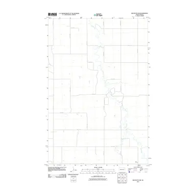 2011 Red Butte NW2011 Print · USGSNorth Dakota's rural heartland is captured here in the early twenty-first century, showing a landscape shaped by persistent watercourses and a strict section-line grid. Local historians and genealogists can locate the Rhein Cemetery and trace the paths of Otter Creek and Brush Creek.
 - 2011 Map of Red Butte, 2011 Print
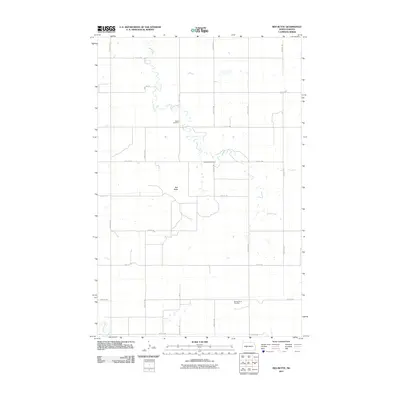 2011 Red Butte2011 Print · USGSMercer County's open prairie and agricultural grid are meticulously documented in this early twenty-first-century survey of the North Dakota plains. Researchers can locate family landmarks and burial sites including Nisbet Cemetery, Red Butte Cemetery, and the geographic profile of Red Butte.
 - 2011 Map of Nelson Lake, 2011 Print
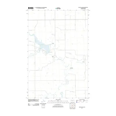 2011 Nelson Lake2011 Print · USGSIn the early twenty-first century, this Oliver County landscape centered on the reservoir and dams managed for regional utility. Trace the rural section lines and water features like Nelson Lake, Square Butte, and the Minnkota Field.
 - 2011 Map of Hannover, 2011 Print
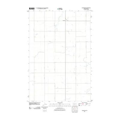 2011 Hannover2011 Print · USGSOliver County ranching country is documented here during the early 2010s, centered on the rural community of Hannover. Researchers can trace the drainage patterns of Square Butte Creek and Hagel Creek across a traditional section-line road network.
 - 2011 Map of Medicine Butte NE, 2011 Print
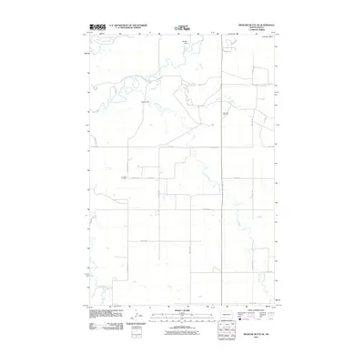 2011 Medicine Butte NE2011 Print · USGSMercer County's agricultural heartland is documented here in the early 2000s, centered on the winding Knife River and Brush Creek. Genealogists and historians can locate family plots at Rose Hill Cemetery and Emmaus Cemetery or trace the impact of Beulah Dam on the local watershed.
 - 2011 Map of Red Butte SW, 2011 Print
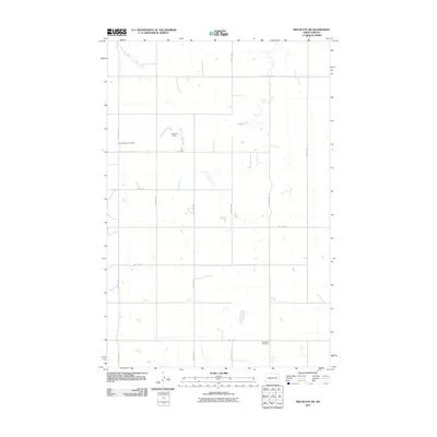 2011 Red Butte SW2011 Print · USGSOliver County’s prairie landscape is defined by its rural cemeteries and water management systems in the early twenty-first century. Genealogists and local historians can trace family roots at Saint Benedict Cemetery and Buchmann Cemetery or locate the Joe Zahn Dam.
 - 2011 Map of Fort Clark SE, 2011 Print
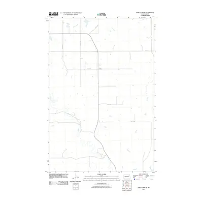 2011 Fort Clark SE2011 Print · USGSOliver County remained a landscape of steady agricultural tradition in the early twenty-first century. Family history researchers can trace the rural grid and find the Yucca Cemetery near the headwaters of Sherk Creek and Square Butte Creek.
 - 2011 Map of Washburn SW, 2011 Print
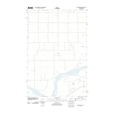 2011 Washburn SW2011 Print · USGSThe Missouri River bottomlands in McLean County appear here in the early twenty-first century as a landscape of rural industry and memory. Local historians and genealogists can pinpoint the Conklin Cemetery or trace the area's coal mining past at the Black Diamond Mine.
 - 2011 Map of Stanton SE, 2011 Print
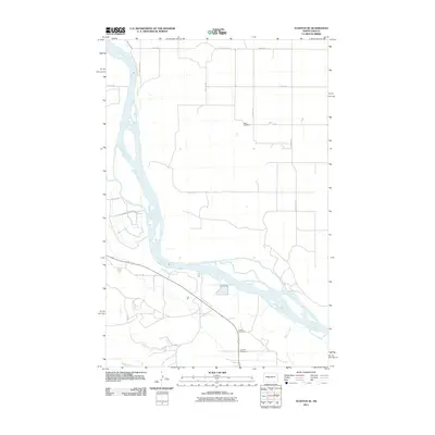 2011 Stanton SE2011 Print · USGSMcLean County is captured here in the early twenty-first century, showing the intersection of the Missouri River and the rural road grid. Genealogists and local historians can locate several important burial sites including Basto Cemetery, Deapolis Cemetery, and Alderin Cemetery.
 - 2011 Map of Otter Creek, 2011 Print
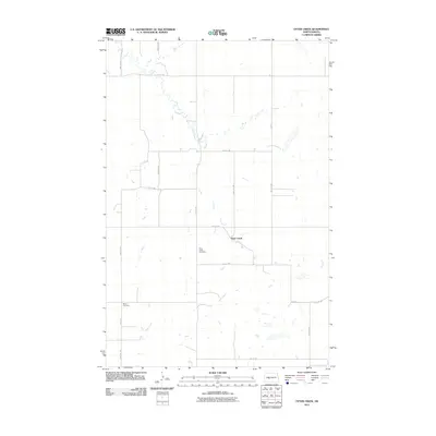 2011 Otter Creek2011 Print · USGSOliver County agricultural life is captured here in the first decade of the millennium, showing a landscape defined by the section line and the stream. Genealogists can locate family sites near Otter Creek Cemetery or Moos Cemetery along the banks of Otter Creek.
 - 2011 Map of Fort Clark, 2011 Print
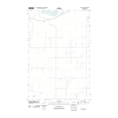 2011 Fort Clark2011 Print · USGSMcLean County's agricultural prairie is captured here in the early twenty-first century, showing the intersection of the Missouri River and local water works. Researchers can trace rural infrastructure across landmarks like Daub Dam, Mandan Lake, and Square Butte 2 Dam.
 - 2011 Map of Crown Butte, 2011 Print
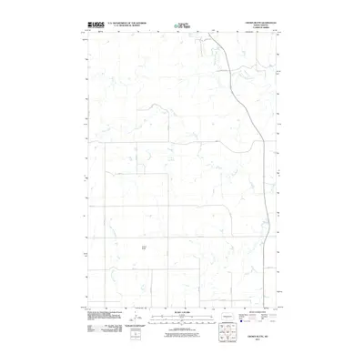 2011 Crown Butte2011 Print · USGSMorton County territory is shown here in the early twenty-first century, defined by its high plateaus and creek valleys. Genealogists and land researchers can trace the rural road grid around the prominent Crown Butte and the winding course of Square Butte Creek.
 - 2011 Map of New Salem NW, 2011 Print
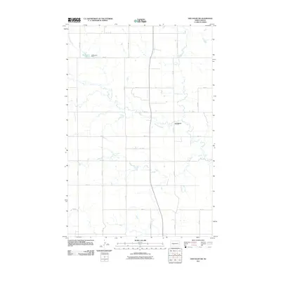 2011 New Salem NW2011 Print · USGSMorton County is shown here in the early twenty-first century, characterized by its deep-rooted agricultural grid and winding waterways. Genealogists and local historians can trace family land ties near Youngtown or the shoreline of Mosbrucker Lake.
 - 2011 Map of Glen Ullin NE, 2011 Print
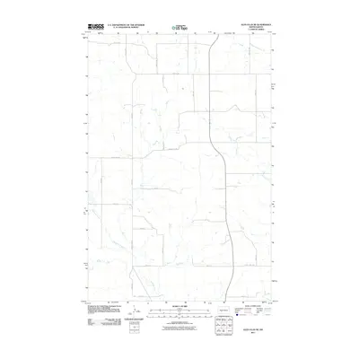 2011 Glen Ullin NE2011 Print · USGSMorton County remained a quintessential North Dakota agricultural landscape in the early twenty-first century. Researchers can trace the section-line road network along County Hwy 88 and identify drainage features like Haymarsh Creek and Wilson Creek.
 - 2011 Map of New Salem NE, 2011 Print
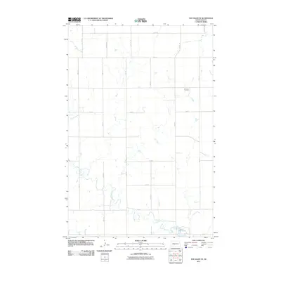 2011 New Salem NE2011 Print · USGSMorton County remains a landscape of open prairie and rural farmsteads in the years following the turn of the millennium. Genealogists and local historians can locate the Bremen Cemetery and trace the winding course of Sweetbriar Creek as it flows toward Sweet Briar Lake.
 - 2011 Map of Crown Butte NW, 2011 Print
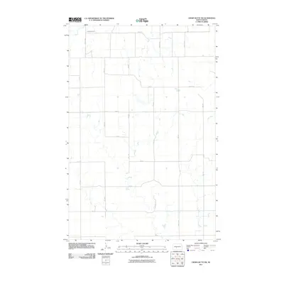 2011 Crown Butte NW2011 Print · USGSThe rural section lines of Morton County are meticulously documented here in the early twenty-first century. Genealogists and researchers can locate Rosebud Cemetery and trace the drainage of Otter Creek through this northern prairie landscape.
 - 2011 Map of Bluegrass, 2011 Print
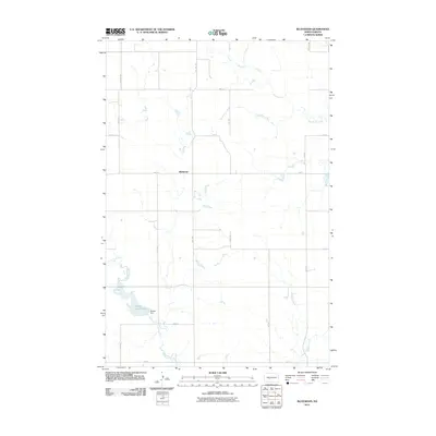 2011 Bluegrass2011 Print · USGSMorton County prairie lands are shown here in the early twenty-first century, centered on the rural crossroads of Bluegrass. Genealogists and researchers can trace local water features and infrastructure, including the reservoir at Storm Creek Lake, Danzig Dam, and the winding path of Sweetbriar Creek.
 - 2011 Map of Turtle Creek SW, 2011 Print
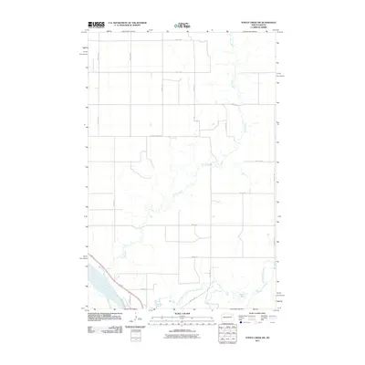 2011 Turtle Creek SW2011 Print · USGSMcLean County is defined by the winding waters of the Missouri and its tributaries in the early twenty-first century. Genealogists and outdoorsmen can trace the rural road network between Turtle Creek and Lost Lake, or follow the river path along Riverside Ln.
Showing maps 1-25 of 84
Top cities of Oliver County
Frequently asked questions
- What are the different types of historical maps available for Oliver County?
- What is the oldest map of Oliver County?
- Where can I purchase historical maps of Oliver County for my home or office?
- Where can I download high-res historical maps of Oliver County?
- Are there historical topographic maps available for Oliver County?
- Is there historical aerial imagery available for Oliver County?
- Where are historical maps of Oliver County sourced from?