2010s Maps of Stark County, North Dakota
Explore 102 historic maps of Stark County from the 2010s. These maps offer a rare glimpse into what life looked like during the 2010s — showing old roads, neighborhoods, homes, and landmarks that have changed or disappeared over time.
Whether you're researching your family's past, planning a metal detecting trip, or studying how Stark County's landscape evolved across the 2010s, these high-resolution maps are a powerful tool for exploring the history of this region.
- Focus on a specific era: All maps on this page are from the 2010s, giving you a focused view of this time period.
- See what’s changed: Compare century-old streets, trails, and buildings to today's modern landscape using overlays and satellite layers.
- Research with precision: Use these maps for genealogy, historical research, land use analysis, or educational projects.
- View, download, or print: Maps are fully viewable online in high resolution, and can be downloaded or printed for your own records.
Start exploring Stark County's history through authentic maps from the 2010s. This is your window into the past.
Stark County, ND maps
(102)- 2011 Map of Belfield NE, 2011 Print
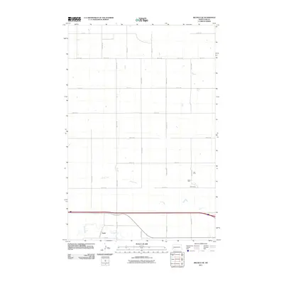 2011 Belfield NE2011 Print · USGSWestern Stark County is captured here in the early 2000s, showcasing the high plains and river valleys of the North Dakota prairie. Genealogists and historians can trace the settlement at Zenith or locate specific industrial sites like the Karsky Mine and Walters Mine.
 - 2011 Map of Belfield SW, 2011 Print
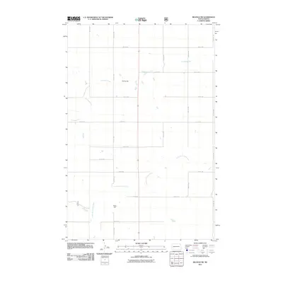 2011 Belfield SW2011 Print · USGSStark County's agricultural heartland is documented here during the early twenty-first century, showing the intersection of prairie hydrology and section-line roads. Trace the course of the South Branch Heart River and find landmarks like Mesling Dam and Rocky Hill.
 - 2011 Map of Belfield, 2011 Print
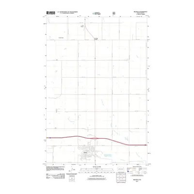 2011 Belfield2011 Print · USGSBelfield and its surrounding prairie landscapes are captured in the early twenty-first century, showing the town at a key regional intersection. Genealogists and local historians can trace family locations near Saint Stanislaus Cemetery or follow the paths of the Heart River and Coal Mine Creek.
 - 2011 Map of Daglum, 2011 Print
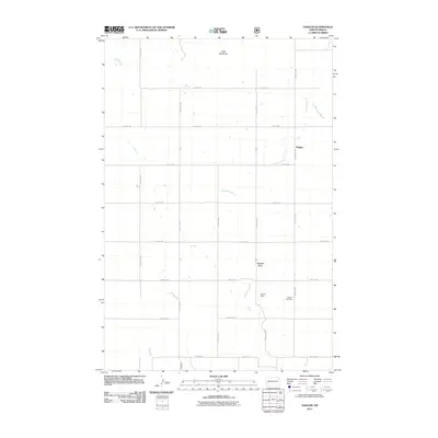 2011 Daglum2011 Print · USGSDaglum and its surrounding farmsteads are captured during the early twenty-first century in this Stark County survey. Genealogists and local historians can locate Daglum Cemetery and trace the paths of Antelope Creek and the Little Badlands.
 - 2011 Map of Belfield SE, 2011 Print
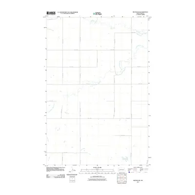 2011 Belfield SE2011 Print · USGSStark County's prairie landscape is defined by the winding waters of the Heart River in this 2011 survey. Local researchers can trace the detailed course of Norwegian Creek and Bull Creek as they cut through the rural section-line road grid.
 - 2011 Map of Daglum NW, 2011 Print
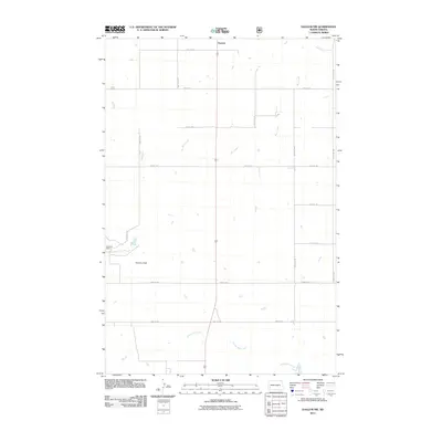 2011 Daglum NW2011 Print · USGSStark County ranch lands and open prairie are captured here in the early twenty-first century. Genealogists and local historians can trace family landholdings near Gaylord or follow the paths of Bull Creek and Adobe Wall Creek through the Swenson Ranch.
 - 2011 Map of Schefield, 2011 Print
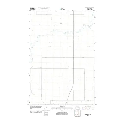 2011 Schefield2011 Print · USGSThe rural prairie of Stark County is captured here in the early twenty-first century, showing a landscape defined by its grid of section-line roads. Researchers can locate the settlement of Schefield and trace the winding path of Antelope Creek past the Tri State Speedway.
 - 2011 Map of Lehigh, 2011 Print
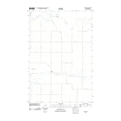 2011 Lehigh2011 Print · USGSStark County's river valleys and prairie heights are documented here in the early twenty-first century. Genealogists and local historians can trace the geography around Lehigh and identify significant landmarks like Shipley Bridge and Dobson Buttes.
 - 2011 Map of Lefor, 2011 Print
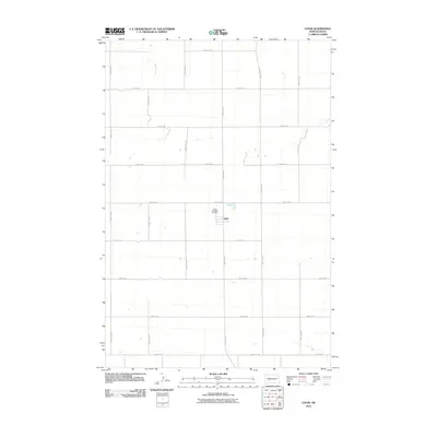 2011 Lefor2011 Print · USGSThe small prairie community of Lefor is documented in this early twenty-first-century survey of rural Stark County. Genealogists and local historians can locate Saint Elizabeth Cemetery and trace the course of Jimmy Creek through the section-line grid.
 - 2011 Map of White Butte NE, 2011 Print
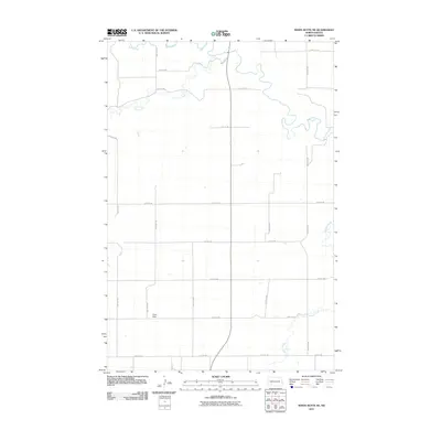 2011 White Butte NE2011 Print · USGSStark County’s agricultural landscape is captured here in the early twenty-first century as the Heart River winds through the northern prairie. Researchers can trace the rural road network connecting the Lime Hills to the drainages of Plum Creek and Beaver Creek.
 - 2011 Map of Indian Butte, 2011 Print
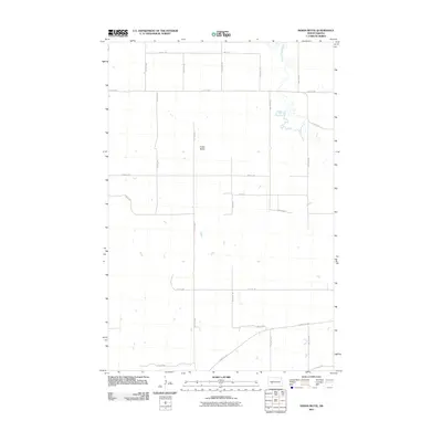 2011 Indian Butte2011 Print · USGSStark County’s high prairie landscape is documented here in the early 21st century, showing the enduring grid of agricultural life. Researchers can trace the winding course of the Branch Knife River or locate landmarks like Indian Butte and the intersection at County Rd 139.
 - 2011 Map of South Heart, 2011 Print
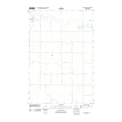 2011 South Heart2011 Print · USGSStark County's agricultural heartland is documented here in the early twenty-first century, centered on the community of South Heart. Researchers can trace the winding course of the Heart River or locate landmarks like White Butte and the settlement at Eland.
 - 2011 Map of Davis Buttes, 2011 Print
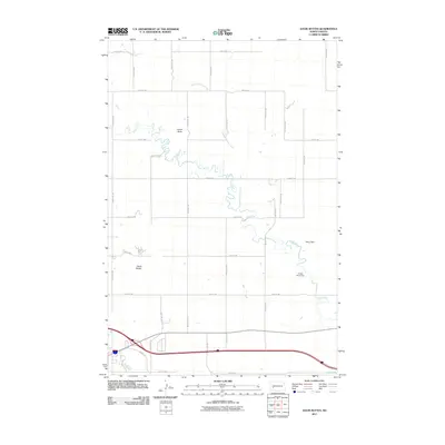 2011 Davis Buttes2011 Print · USGSThe Stark County plains north of Dickinson are captured here in the early twenty-first century, showing the intersection of ranch land and industrial growth. Genealogists and historians can trace family land between Simon Butte and the Green River.
 - 2011 Map of Richardton SE, 2011 Print
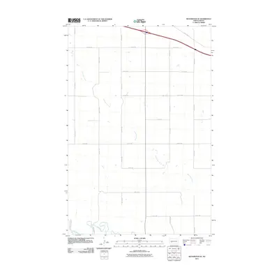 2011 Richardton SE2011 Print · USGSStark County prairie land in the early twenty-first century is defined by the intersections of the Heart River and a meticulous section grid. Genealogists and researchers can trace the reach of Government Creek or follow rural routes like County Rd 139 and 90th Ave Sw.
 - 2011 Map of Boyle, 2011 Print
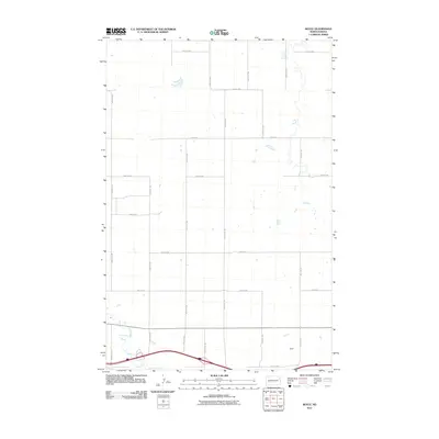 2011 Boyle2011 Print · USGSStark County's agricultural grid and the meandering Green River define this North Dakota landscape in the early twenty-first century. Researchers can trace the layout of rural road networks like 28 R St SW and the southern settlement area of Boyle.
 - 2011 Map of Clark Butte NE, 2011 Print
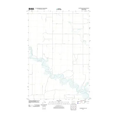 2011 Clark Butte NE2011 Print · USGSStark County's open prairie and river valleys are captured here in the early twenty-first century as agricultural life continues along the water. Genealogists and land researchers can trace property boundaries and rural access roads near the Heart River, Peters Creek, and Beaver Creek.
 - 2011 Map of Taylor, 2011 Print
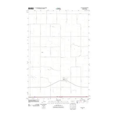 2011 Taylor2011 Print · USGSThe community of Taylor and its surrounding prairie lands are captured here at the start of the second decade of the millennium. Researchers can locate family sites at Immanuel Cemetery or trace the drainage paths of Beaver Creek and Government Creek.
 - 2011 Map of Hebron, 2011 Print
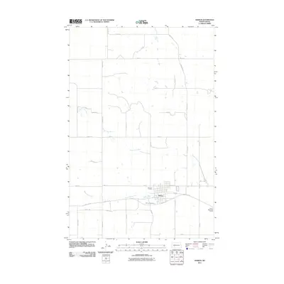 2011 Hebron2011 Print · USGSHebron and the surrounding Morton County prairie are captured here during the early twenty-first century. Researchers can trace local lineage at Saint John Cemetery or follow the meandering course of the Branch Knife River as it winds past Hebron and the Hebron Municipal Airport.
 - 2011 Map of New Hradec South, 2011 Print
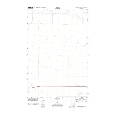 2011 New Hradec South2011 Print · USGSStark County's agricultural landscape is documented here in the years following the turn of the millennium. Researchers can trace the drainage of the Green River and Duck Creek or locate landmarks like Dutch Henry Butte and the settlement of New Hradec.
 - 2011 Map of Dickinson North, 2011 Print
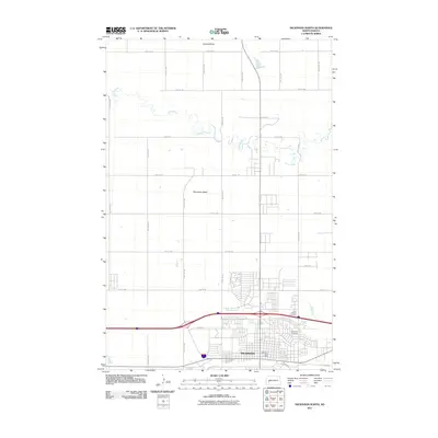 2011 Dickinson North2011 Print · USGSNorth Dakota's West River country comes into focus in this 2011 survey of Dickinson and its northern outskirts. Researchers can trace the meandering Green River and locate family landmarks like Saint Patricks Cemetery and Seventeen Butte.
 - 2011 Map of Hebron SE, 2011 Print
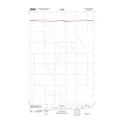 2011 Hebron SE2011 Print · USGSStark County as it appeared in the early 2010s shows a landscape of expansive agriculture defined by the interstate corridor and prairie waterways. Family researchers can trace the rural road network from 79th Ave SW to 74th Ave as it crosses Beaver Creek.
 - 2011 Map of New England NW, 2011 Print
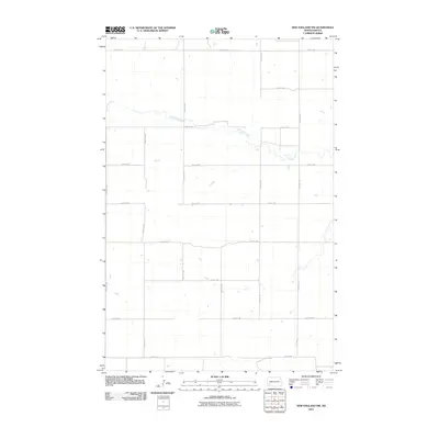 2011 New England NW2011 Print · USGSStark County's rural prairie landscape is documented here in the early 2000s, showing the intersection of natural waterways and the rigid section-line road grid. Genealogists and local historians can trace property boundaries and access routes along Antelope Creek, 119th Ave SW, and 48th St SW.
 - 2011 Map of Gladstone, 2011 Print
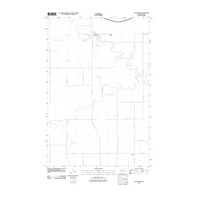 2011 Gladstone2011 Print · USGSGladstone and the surrounding Stark County prairies are shown here in the early twenty-first century as a landscape of river confluences and section lines. Researchers can trace the winding paths of the Heart River and Antelope Creek or locate Saint Thomas Cemetery and Pioneer Cemetery.
 - 2011 Map of Clark Butte NW, 2011 Print
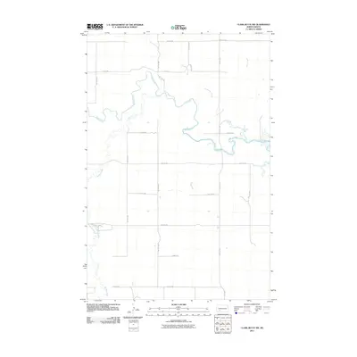 2011 Clark Butte NW2011 Print · USGSStark County’s agricultural landscape is captured here in the early twenty-first century, defined by the winding path of the Heart River. Local historians can trace the intersection of section-line roads and natural watercourses like Buffalo Creek and Government Creek.
 - 2011 Map of Bratburg Butte, 2011 Print
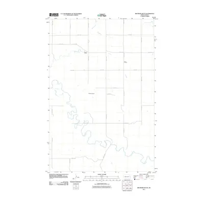 2011 Bratburg Butte2011 Print · USGSStark County's prairie landscape is defined by the winding Heart River and the rural road grid during the early twenty-first century. Genealogists and local historians can locate Pioneer Cemetery or trace the drainage of Beaver Creek and Government Creek.
Showing maps 1-25 of 102
Top cities of Stark County
- Dickinson historical maps
- Belfield historical maps
- Richardton historical maps
- South Heart historical maps
- Gladstone historical maps
- Taylor historical maps
Frequently asked questions
- What are the different types of historical maps available for Stark County?
- What is the oldest map of Stark County?
- Where can I purchase historical maps of Stark County for my home or office?
- Where can I download high-res historical maps of Stark County?
- Are there historical topographic maps available for Stark County?
- Is there historical aerial imagery available for Stark County?
- Where are historical maps of Stark County sourced from?