1950s Maps of Oklahoma
Explore 216 historic maps of Oklahoma from the 1950s. These maps offer a rare glimpse into what life looked like during the 1950s — showing old roads, neighborhoods, homes, and landmarks that have changed or disappeared over time.
Whether you're researching your family's past, planning a metal detecting trip, or studying how Oklahoma's landscape evolved across the 1950s, these high-resolution maps are a powerful tool for exploring the history of this region.
- Focus on a specific era: All maps on this page are from the 1950s, giving you a focused view of this time period.
- See what’s changed: Compare century-old streets, trails, and buildings to today's modern landscape using overlays and satellite layers.
- Research with precision: Use these maps for genealogy, historical research, land use analysis, or educational projects.
- View, download, or print: Maps are fully viewable online in high resolution, and can be downloaded or printed for your own records.
Start exploring Oklahoma's history through authentic maps from the 1950s. This is your window into the past.
Oklahoma maps
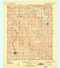
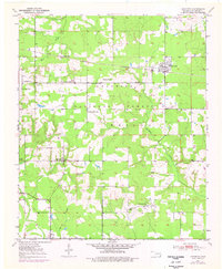
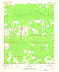
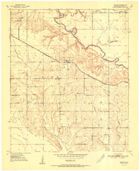
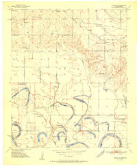
(216)- 1950 Map of Keefeton
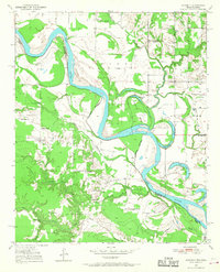
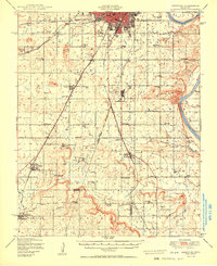 1950 Keefeton1950 Print · USGSMuskogee County in the late nineteen-forties shows a landscape of busy rail corridors and established rural townships just after the war. Researchers can trace historic homesteads and community hubs through landmarks like Rentiesville, the Plainview Cem, and Hatbox Field.2 unique versions available
 - 1950 Map of Seneca
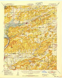
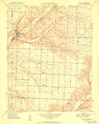 1950 Seneca1950 Print · USGSNewton County at the Missouri-Oklahoma line is shown here at mid-century, where the rail-linked town of Seneca meets the mineral-rich hills. Researchers can trace rural landmarks including the Tripoli Mine, Westview Sch, and Hollow Springs Ch.2 unique versions available
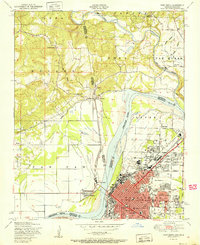
 - 1950 Map of Mcalester
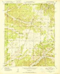
 1950 Mcalester1950 Print · USGSThe Ouachita Mountains and the coal country of Southeast Oklahoma are shown here in the late 1940s. Genealogists and historians can trace the rail-driven growth of McAlester, Wilburton, and Antlers alongside the rugged terrain of Kiamichi Mountain.2 unique versions available
 - 1950 Map of Racine
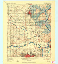
 1950 Racine1950 Print · USGSNewton County's tri-state border region is captured here in the mid-century, showing a landscape shaped by mining and rural schooling. Researchers can locate family landmarks like Gibson Cem or trace the old St Louis San Francisco rail line through Racine.2 unique versions available
 - 1950 Map of Wagoner
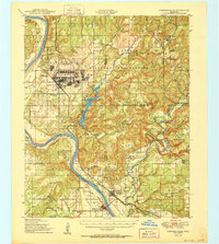
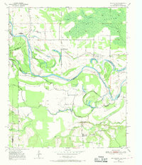
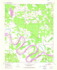
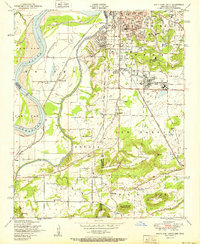
 1950 Wagoner1950 Print · USGSMid-century eastern Oklahoma is captured here as the Fort Gibson Reservoir project begins to reshape the river valleys. Genealogists and local historians can trace rural school districts and family landmarks from Tullahassee to the Murrow Ind Orphans Home.2 unique versions available
 - 1950 Map of Rush Springs
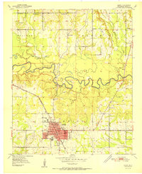
 1950 Rush Springs1950 Print · USGSGrady County at the mid-point of the twentieth century reveals a landscape shaped by the Washita River and the local rail lines. Researchers can trace rural school locations like Vimy Ridge Sch and Hawkins Sch or locate family plots at Ireland Cem.2 unique versions available
 - 1950 Map of Hulbert
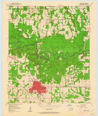
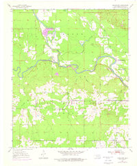
 1950 Hulbert1950 Print · USGSOklahoma's Cherokee County appears here at a pivotal moment just after the war, as the Gibson Reservoir begins to reshape the landscape. Researchers can trace dozens of rural landmarks, including the Sequoyah Indian School, the Fort Gibson National Cemetery, and the Camp Gruber Military Reservation.2 unique versions available
 - 1950 Map of Webbers Falls
 1950 Webbers Falls1950 Print · USGSMid-century Muskogee County is captured here as a landscape of military readiness and Cherokee heritage. Researchers can trace the infrastructure of Camp Gruber or locate local landmarks like the Sour John Indian Sch and Howard Chapel.2 unique versions available
 - 1950 Map of Snyder, 1953 Print
 1950 Snyder1953 Print · USGSKiowa and Tillman Counties come into focus during the early fifties, showing a landscape where the granite peaks of the Wichita Mountains meet the Oklahoma prairie. Genealogists can locate numerous rural landmarks like Richland Sch, Maple Grove Ch, and the Oklahoma Cem.2 unique versions available
 - 1950 Map of Saddle Mountain, 1953 Print
 1950 Saddle Mountain1953 Print · USGSSouthwestern Oklahoma in the early fifties shows a landscape where high granite peaks meet missionary history and early wildlife conservation. Researchers can trace rural school locations like Dixie Sch or find the remote Saddle Mountain Indian Mission and Kiowa Mission tucked among the foothills.2 unique versions available
 - 1950 Map of Idabel, 1962 Print
 1950 Idabel1962 Print · USGSSoutheastern Oklahoma’s river valleys and rail corridors are captured here just after the war, centered on the growing community of Idabel. Researchers can trace the lineage of local families through landmarks like Gray High Sch, Denison Cem, and rural outposts such as Twin Springs.3 unique versions available
 - 1950 Map of Acworth, 1968 Print
 1950 Acworth1968 Print · USGSThe Red River borderlands of Texas and Oklahoma are captured here at mid-century as a landscape of shifting waters and rural communities. Genealogists can trace family roots through landmarks like Greenwood Ch, Bachman Cem, and the old Acworth Sch along the river's winding oxbows.
 - 1950 Map of De Kalb NW, 1969 Print
 1950 De Kalb NW1969 Print · USGSThe Red River valley at the Texas-Oklahoma border comes alive here during the mid-century, showing a landscape shaped by shifting waters and rural settlement. Researchers can trace family roots through sites like Harris Cem, Antioch Ch, and the many local schoolhouses like Field Ridge Sch.2 unique versions available
 - 1950 Map of Marlow, 1973 Print
 1950 Marlow1973 Print · USGSMid-century Stephens County comes alive in this survey of the Marlow and Duncan corridor during a period of oil growth and educational shifts. Genealogists can locate family-named landmarks like Short Cem or rural schoolhouses including Gatlin Sch and Payne Sch.
 - 1950 Map of Shults, 1975 Print
 1950 Shults1975 Print · USGSMcCurtain County is documented in the mid-twentieth century as a landscape of river bends and rural settlements. Researchers can trace family history at the Redland Cem or locate community centers like Douglas Chapel and Shults.2 unique versions available
 - 1950 Map of Haworth, 1976 Print
 1950 Haworth1976 Print · USGSMid-century McCurtain County is defined here by its rail-side timber towns and rural school districts within the Ouachita National Forest. Researchers can locate several country schools and cemeteries, including Pollard Sch and the Kullituklo Cem.
 - 1950 Map of Tom, 1976 Print
 1950 Tom1976 Print · USGSMcCurtain County sits along the winding Red River at the Texas border in the mid-twentieth century. Family historians can trace local roots through numerous country schools like Pecan Grove Sch and Oak Ridge Sch, or explore the river's path around Severn Island.
 - 1950 Map of De Kalb, 1976 Print
 1950 De Kalb1976 Print · USGSBowie County at mid-century shows a landscape of rural schools and family cemeteries clustered around the De Kalb rail corridor. Genealogists can trace local landmarks like Woodman Cem, Bethlehem Sch, and the banks of the Red River.2 unique versions available
 - 1950 Map of Goodwater, 1976 Print
 1950 Goodwater1976 Print · USGSMcCurtain County at mid-century shows a landscape of dense timber and winding river bottoms where the Little River meets the Mountain Fork. Genealogists and local historians can locate the old Highland Lake Sch, Ponka Bok Ch, and the rail-stop settlement at Goodwater.
 - 1950 Map of Bokhoma, 1976 Print
 1950 Bokhoma1976 Print · USGSSoutheastern Oklahoma’s timber country and small rural settlements are documented here during the mid-century. Genealogists and local historians can locate the Bokhoma Cem, Choctaw Ch, and the Oak Ridge Sch along the St Louis San Francisco rail line.
 - 1951 Map of Fort Smith
 1951 Fort Smith1951 Print · USGSFort Smith and its neighboring Oklahoma borderlands are captured here during a period of significant mid-century growth and industrial connectivity. Researchers can trace the development of urban neighborhoods and rural outposts like Moffett, Dora, and Bluemouse School.2 unique versions available
 - 1951 Map of Idabel
 1951 Idabel1951 Print · USGSMcCurtain County enters the 1950s with its seat of Idabel as a bustling rail and civic hub. Genealogists and local historians can trace the foundations of the community through its many local schools and churches like Gray High Sch and Livingland Ch.2 unique versions available
 - 1951 Map of South Fort Smith
 1951 South Fort Smith1951 Print · USGSThe Arkansas-Oklahoma borderlands in the early fifties show a landscape of river-bend farming and industrial growth. Genealogists can trace family roots through several rural schools like Pocola School, old burial grounds at Oak Cemetery, and community landmarks like the White Bluff Church.2 unique versions available
 - 1951 Map of Garvin
 1951 Garvin1951 Print · USGSMcCurtain County's rural landscape at mid-century is captured here, centered on the settlement of Garvin and the winding Little River. Genealogists and historians can trace numerous country schools and churches, such as Wheelock Academy, Honey Grove Sch, and Waterhole Ch.2 unique versions available
 - 1951 Map of Idabel SE
 1951 Idabel SE1951 Print · USGSThe Oklahoma-Texas border along the Red River is captured here in the early fifties, showing a landscape of shifting oxbows and rural social hubs. Researchers can trace local history through the St Louis San Francisco rail line and sites like Kullituklo Ch and Richland Sch.2 unique versions available
Showing maps 1-25 of 216
Top cities of Oklahoma
- Oklahoma City historical maps
- Tulsa historical maps
- Norman historical maps
- Broken Arrow historical maps
- Lawton historical maps
- Edmond historical maps
See more
Top counties of Oklahoma
- Oklahoma County historical maps
- Cleveland County historical maps
- Canadian County historical maps
- Comanche County historical maps
- Rogers County historical maps
- Payne County historical maps
See more
Frequently asked questions
- What are the different types of historical maps available for Oklahoma?
- What is the oldest map of Oklahoma?
- Where can I purchase historical maps of Oklahoma for my home or office?
- Where can I download high-res historical maps of Oklahoma?
- Are there historical topographic maps available for Oklahoma?
- Is there historical aerial imagery available for Oklahoma?
- Where are historical maps of Oklahoma sourced from?