2020s Maps of Oklahoma
Explore 1,280 historic maps of Oklahoma from the 2020s. These maps offer a rare glimpse into what life looked like during the 2020s — showing old roads, neighborhoods, homes, and landmarks that have changed or disappeared over time.
Whether you're researching your family's past, planning a metal detecting trip, or studying how Oklahoma's landscape evolved across the 2020s, these high-resolution maps are a powerful tool for exploring the history of this region.
- Focus on a specific era: All maps on this page are from the 2020s, giving you a focused view of this time period.
- See what’s changed: Compare century-old streets, trails, and buildings to today's modern landscape using overlays and satellite layers.
- Research with precision: Use these maps for genealogy, historical research, land use analysis, or educational projects.
- View, download, or print: Maps are fully viewable online in high resolution, and can be downloaded or printed for your own records.
Start exploring Oklahoma's history through authentic maps from the 2020s. This is your window into the past.
Oklahoma maps
(1,280)- 2020 Map of Moses, 2020 Print
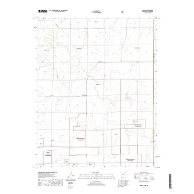 2020 Moses2020 Print · USGSThe high plains of Union County meet the Oklahoma state line in this contemporary survey of the Cimarron Valley borderlands. Trace the local history of ranching settlements through Old Moses, Puertocito Cem, and the rocky landmark of Elephant Rock.
 - 2020 Map of Greendailey Canyon, 2020 Print
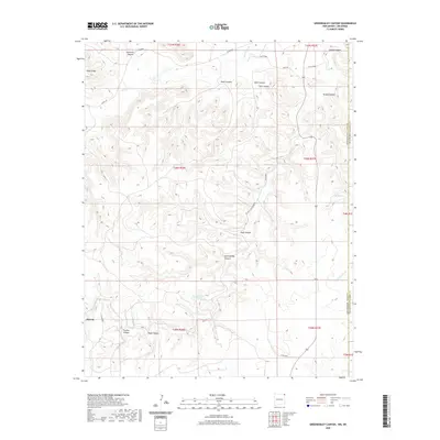 2020 Greendailey Canyon2020 Print · USGSThe high plains of the Oklahoma Panhandle and New Mexico border are captured here in 2020. Local history researchers can trace the roads and canyons of this ranching country, including the settlement of Atencio, Greendailey Canyon, and Escondido Springs.
 - 2020 Map of Rardin Hill, 2020 Print
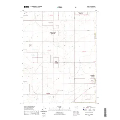 2020 Rardin Hill2020 Print · USGSThe Oklahoma Panhandle's border with New Mexico and Texas is documented here in recent years, showing a landscape of vast grasslands and seasonal lakes. Genealogists and historians can locate Creeds Chapel Cem or trace the geography of Rardin Hill and Rabbit Ear Mesa.
 - 2020 Map of Goodson School, 2020 Print
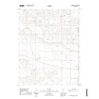 2020 Goodson School2020 Print · USGSCimarron County, Oklahoma, is documented here at the New Mexico border, where high mesa terrain meets the Panhandle plains. Researchers can locate the Goodson School and trace the paths of the Dry Cimarron River and Roberts Ditch.
 - 2020 Map of Cherokee City, 2020 Print
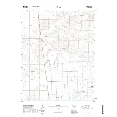 2020 Cherokee City2020 Print · USGSBenton County at the Oklahoma border is documented in this modern survey of rural settlements and family landmarks. Researchers can trace the layout of Cherokee City and Bloomfield, or locate ancestral burial sites at Falling Springs Cem and Dickson Cem.
 - 2020 Map of Siloam Springs, 2020 Print
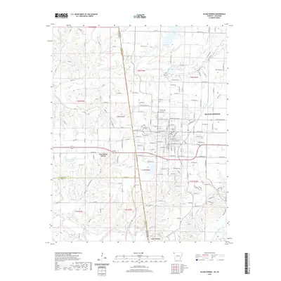 2020 Siloam Springs2020 Print · USGSSiloam Springs and the Arkansas-Oklahoma borderlands appear here in the modern era as a hub of education and regional industry. Researchers can trace local heritage through John Brown University, established cemeteries like Oak Hill Cem, and the waters of Lake Flint Creek.
 - 2020 Map of Foreman, 2020 Print
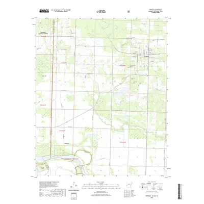 2020 Foreman2020 Print · USGSLittle River County at the meeting of three states reveals a landscape of river oxbows and historic rural cemeteries. Genealogists can trace family landmarks like Dollarhide Cem and Lanesport along the banks of the Red River.
 - 2020 Map of Cerrogordo, 2020 Print
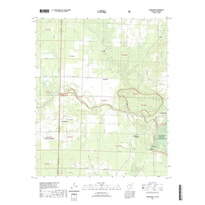 2020 Cerrogordo2020 Print · USGSThe Arkansas-Oklahoma borderlands come alive in this recent survey of the Sevier and Little River county line. Genealogists and local historians can trace family roots through sites like Cerrogordo Cem, West Otis, and the river crossing at Dog Town Bridge.
 - 2020 Map of Arkinda, 2020 Print
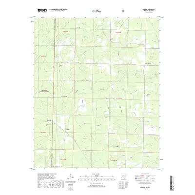 2020 Arkinda2020 Print · USGSThe Oklahoma and Arkansas state line meets in this 2020 survey of Little River County, highlighting a landscape of timberlands and rural crossroads. Local historians can locate numerous burial sites including Piney Cem and Eastport Cem near the community of Arkinda.
 - 2020 Map of Hartford, 2020 Print
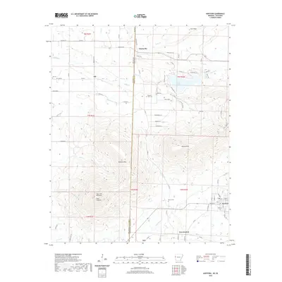 2020 Hartford2020 Print · USGSThe Arkansas-Oklahoma borderlands come into focus in this recent survey, centered on the historic mining and railroad town of Hartford. Genealogists and historians can trace local family landmarks through sites like Begum Cem, Slaytonville, and Sugar Loaf Mtn.
 - 2020 Map of Chapel Hill, 2020 Print
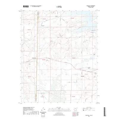 2020 Chapel Hill2020 Print · USGSThe Oklahoma-Arkansas border comes alive in this contemporary survey, showing the rural landscape where Ultima Thule and Chapel Hill meet. Researchers can trace local heritage at Ultima Thule Cem, Harris Mill Cem, and Oak Grove Cem.
 - 2020 Map of Natural Dam, 2020 Print
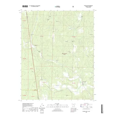 2020 Natural Dam2020 Print · USGSThe borderlands of Arkansas and Oklahoma come into focus during the 2020s, centered on the unincorporated communities and rugged timberlands of the Ozarks. Researchers can trace family history through sites like Bateman Cem or explore the geography around Natural Dam and the Lee Creek Bridge.
 - 2020 Map of Cove, 2020 Print
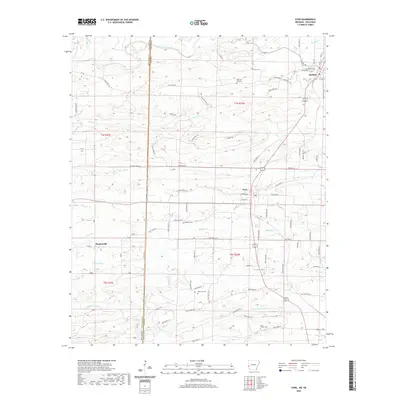 2020 Cove2020 Print · USGSWestern Arkansas at the start of the 2020s shows a landscape defined by the rugged creeks of Polk County and the Oklahoma border. Local historians can trace family roots through markers like Cecil Chapel Cem and the small settlements of Hatfield and Plunketville.
 - 2020 Map of Hackett, 2020 Print
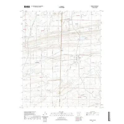 2020 Hackett2020 Print · USGSThe Oklahoma-Arkansas borderlands are captured here in modern detail, spanning the communities of Pocola, Bonanza, and Hackett. Genealogists and local historians can trace family sites at Old Hickory Cemetery, Old Union Cemetery, and landmarks along Backbone Mountain.
 - 2020 Map of Colcord NE, 2020 Print
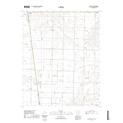 2020 Colcord NE2020 Print · USGSThe tri-state border region of Arkansas, Oklahoma, and Missouri comes into focus here during the early twenty-first century. Genealogists can trace family legacies through numerous local burial grounds, including Moses Fields Cem, Wann Cem, and Dow Cem.
 - 2020 Map of De Queen NW, 2020 Print
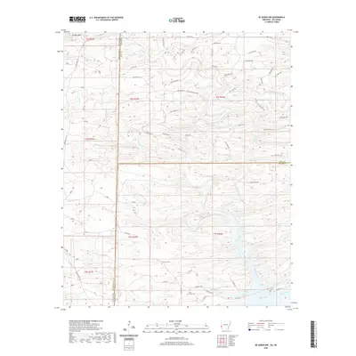 2020 De Queen NW2020 Print · USGSThe Oklahoma and Arkansas state line meets at the intersection of McCurtain, Polk, and Sevier counties in this modern survey of the timbered Ouachita foothills. Genealogists can locate Oak Grove Cem and Mill Creek Cem among the drainages of Rolling Fork and Mill Creek.
 - 2020 Map of Uniontown, 2020 Print
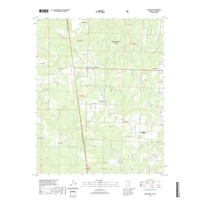 2020 Uniontown2020 Print · USGSThe Arkansas-Oklahoma borderlands come into focus here, showing the rural character of Crawford and Sequoyah counties in the early twenty-first century. Genealogists and local historians can locate several family landmarks, including Thompson Cem, Woods Cem, and the waters of Webber Cr Reservoir.
 - 2020 Map of Bates, 2020 Print
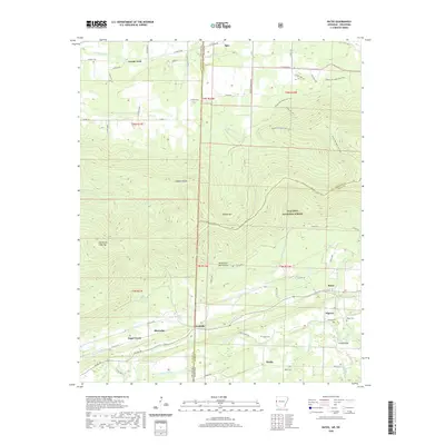 2020 Bates2020 Print · USGSThe Arkansas-Oklahoma borderlands come into focus in this recent survey of the Scott County hills. Researchers can trace rural lineages through local landmarks like Gipson Cem, Weeks, and the river crossing at Trestle Ford.
 - 2020 Map of Bog Springs, 2020 Print
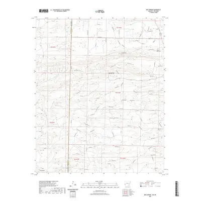 2020 Bog Springs2020 Print · USGSThe Oklahoma and Arkansas border comes into focus in this recent survey of Polk County. Genealogists and local historians can trace the geography around Bog Springs and Oak Grove Cemetery or locate landmarks like Whiskey Peak.
 - 2020 Map of South Fort Smith, 2020 Print
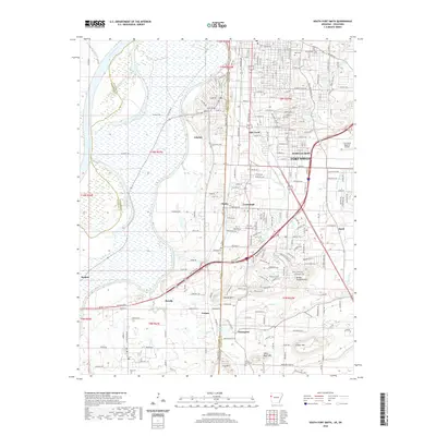 2020 South Fort Smith2020 Print · USGSFort Smith and its surrounding border communities are shown at the turn of the decade as they bridge the line between Arkansas and Oklahoma. Researchers can trace family roots through several local burial grounds like Oak Cem and White Bluff Cem or locate the routes of the Kansas City Southern Ry.
 - 2020 Map of Fort Smith, 2020 Print
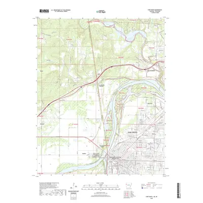 2020 Fort Smith2020 Print · USGSThe Arkansas-Oklahoma borderlands come into focus in this contemporary survey of the river valley's historic crossing. Researchers can trace ancestral sites from the Fort Smith National Historic Site to local landmarks like Belle Point and Newlon Cem.
 - 2020 Map of Mountain Fork, 2020 Print
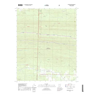 2020 Mountain Fork2020 Print · USGSThe Ouachita highlands along the Oklahoma and Arkansas border are shown here at the start of the 2020s. Researchers can locate remote mountain burials at Heely Cem and Pioneer Cem or trace the early paths of Fogel and Mountain Fork.
 - 2020 Map of Evansville, 2020 Print
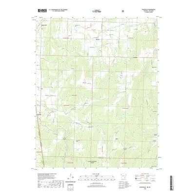 2020 Evansville2020 Print · USGSThe Arkansas-Oklahoma borderlands near Evansville and Dutch Mills are captured here in the early twenty-first century. Family history researchers can locate dozens of burial sites like Bethlehem Cem and Dunagan Cem among the ridges of Anderson Mtn.
 - 2021 Map of Racine, 2021 Print
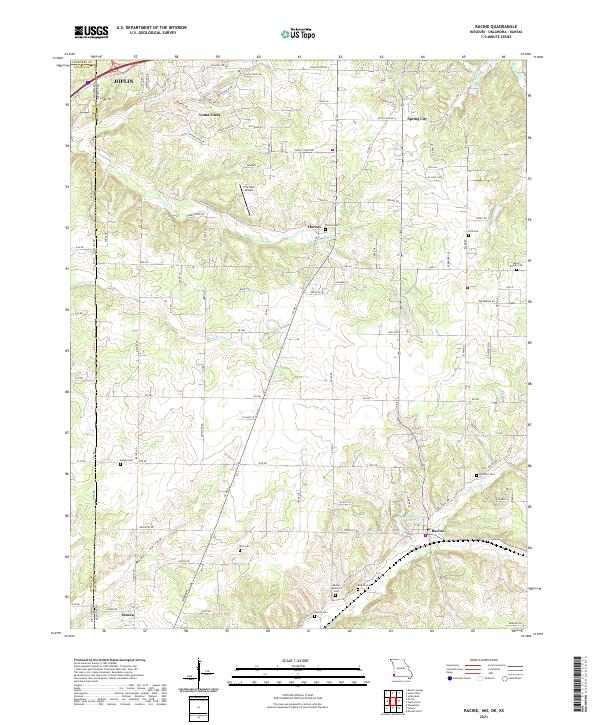 2021 Racine2021 Print · USGSNewton County, Missouri and Ottawa County, Oklahoma meet along this borderland as it appeared in the early 2020s. Genealogists and local historians can trace family roots through numerous sites like Moser Family Cemetery, Kirk Cemetery, and Burson Cemetery.
 - 2021 Map of Tiff City, 2021 Print
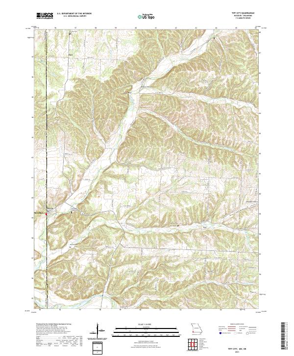 2021 Tiff City2021 Print · USGSThe Missouri-Oklahoma borderlands come into focus in this recent study of McDonald County and the tri-state corner. Genealogists and local historians can trace legacy sites like Tiff City, Cummings Chapel Cemetery, and the banks of the Elk River.
Showing maps 1-25 of 1,280
Top cities of Oklahoma
- Oklahoma City historical maps
- Tulsa historical maps
- Norman historical maps
- Broken Arrow historical maps
- Lawton historical maps
- Edmond historical maps
See more
Top counties of Oklahoma
- Oklahoma County historical maps
- Cleveland County historical maps
- Canadian County historical maps
- Comanche County historical maps
- Rogers County historical maps
- Payne County historical maps
See more
Frequently asked questions
- What are the different types of historical maps available for Oklahoma?
- What is the oldest map of Oklahoma?
- Where can I purchase historical maps of Oklahoma for my home or office?
- Where can I download high-res historical maps of Oklahoma?
- Are there historical topographic maps available for Oklahoma?
- Is there historical aerial imagery available for Oklahoma?
- Where are historical maps of Oklahoma sourced from?