2000-2009 Maps of Oklahoma
Explore 286 historic maps of Oklahoma from 2000-2009. These maps offer a rare glimpse into what life looked like during the 2000s — showing old roads, neighborhoods, homes, and landmarks that have changed or disappeared over time.
Whether you're researching your family's past, planning a metal detecting trip, or studying how Oklahoma's landscape evolved across the 2000s, these high-resolution maps are a powerful tool for exploring the history of this region.
- Focus on a specific era: All maps on this page are from the 2000s, giving you a focused view of this time period.
- See what’s changed: Compare century-old streets, trails, and buildings to today's modern landscape using overlays and satellite layers.
- Research with precision: Use these maps for genealogy, historical research, land use analysis, or educational projects.
- View, download, or print: Maps are fully viewable online in high resolution, and can be downloaded or printed for your own records.
Start exploring Oklahoma's history through authentic maps from the 2000s. This is your window into the past.
Oklahoma maps
- 2009 Map of Buttermilk, 2009 Print
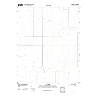 2009 Buttermilk2009 Print · USGSThe southern Kansas prairie and the community of Buttermilk are captured here in the early twenty-first century. Researchers can trace the winding course of the Salt Fork Arkansas River and the rural drainage of Sheele Creek across the Comanche County landscape.
 - 2009 Map of Protection SW, 2009 Print
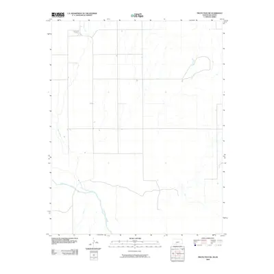 2009 Protection SW2009 Print · USGSSouthwest Kansas at the turn of the millennium reveals a vast landscape shaped by the Cimarron River and its tributaries. Local history and family roots are preserved at the Mennonite Cemetery near the banks of Cavalry Creek.
 - 2009 Map of Fairview NE, 2009 Print
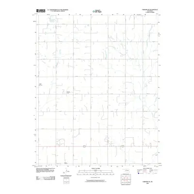 2009 Fairview NE2009 Print · USGSMajor County at the end of the first decade of the millennium shows a landscape defined by traditional section-line farming and active energy extraction. Genealogists and local historians can locate Square Cedar Cemetery, Forrest Cemetery, and the Southeast Chaney Dell Oil Field.
 - 2009 Map of Hopeton, 2009 Print
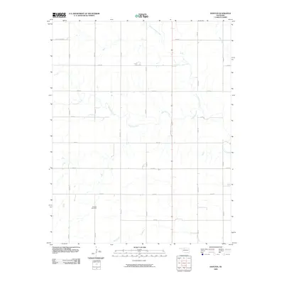 2009 Hopeton2009 Print · USGSWoods County agriculture and the prairie landscape are documented in the early twenty-first century as the section-line grid organizes the plains. Researchers can trace the winding paths of Eagle Chief Creek and locate landmarks like Overton Lake Dam.
 - 2009 Map of Cogar NW, 2009 Print
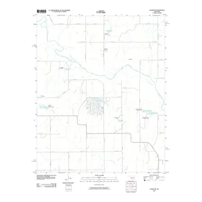 2009 Cogar NW2009 Print · USGSThe Oklahoma countryside southwest of Oklahoma City is captured here during the first decade of the new millennium. Researchers can trace family-named landmarks like the Niles Cemetery and explore local geography from Tall Bear Canyon to Cedar Lake.
 - 2009 Map of Dacoma SW, 2009 Print
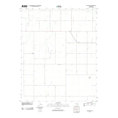 2009 Dacoma SW2009 Print · USGSOklahoma's prairie landscape in the early 2000s reveals a region defined by family ranching and rural infrastructure. Genealogists and local historians can locate Highland Cemetery and the Logsdon Ranch Airport among the grid of section roads.
 - 2009 Map of Bison, 2009 Print
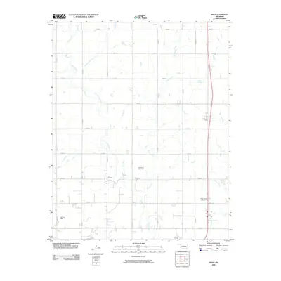 2009 Bison2009 Print · USGSGarfield County's agricultural heartland is documented here in the early twenty-first century, showing a landscape of section-line roads and creek drainages. Researchers can locate family burial sites at Hope Cemetery or trace private aviation via Miller Landing Strip.
 - 2009 Map of Barr, 2009 Print
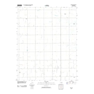 2009 Barr2009 Print · USGSIn the early twenty-first century, this corner of Kingfisher County remains a dedicated agricultural landscape organized by a rigorous section-line grid. Researchers can locate legacy sites like the Dunbar School and family landmarks such as Wildwood Cemetery.
 - 2009 Map of Cogar SE, 2009 Print
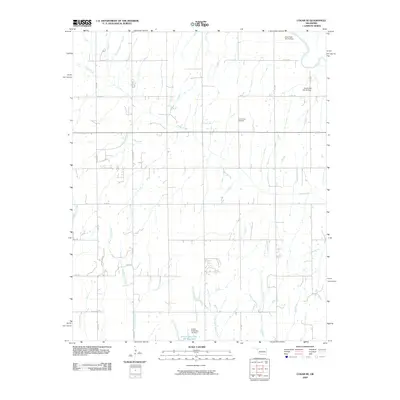 2009 Cogar SE2009 Print · USGSThe rural landscape of Canadian County comes into focus in the early 2000s, showing a transition between natural prairie drainage and modern water management. Researchers can locate the Center View Cemetery or trace the winding paths of Buggy Creek and the Canadian River.
 - 2009 Map of Fairview SE, 2009 Print
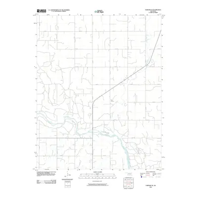 2009 Fairview SE2009 Print · USGSMajor County at the end of the first decade of the 2000s shows a landscape of wide river plains and established agricultural grids. Genealogists and local historians can locate the Sorge Cemetery or trace the winding paths of the Cimarron River and Indian Creek.
 - 2009 Map of Fairview, 2009 Print
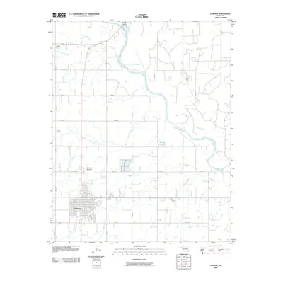 2009 Fairview2009 Print · USGSMajor County at the end of the first decade of the 2000s shows a landscape of steady agricultural development and established rural infrastructure. Researchers can locate family heritage sites at Saron Cemetery and Rusk Cemetery or trace the winding path of the Cimarron River.
 - 2009 Map of Cleo Springs, 2009 Print
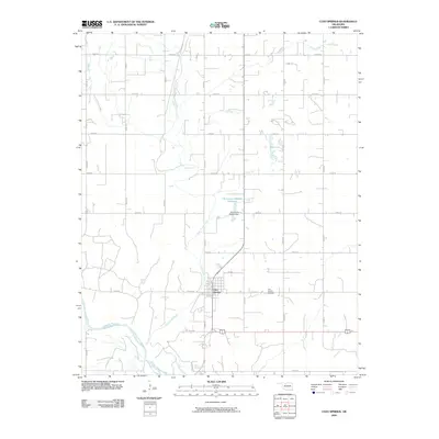 2009 Cleo Springs2009 Print · USGSCleo Springs and the northern bank of the Cimarron River are documented here in the early twenty-first century. Researchers can trace local landmarks and family sites including the Cleo Springs Cemetery, the course of Eagle Chief Creek, and the Oknoname 093002 Dam.
 - 2009 Map of Glass Mountains NW, 2009 Print
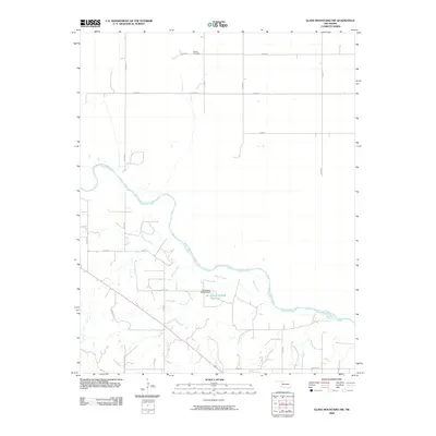 2009 Glass Mountains NW2009 Print · USGSWoods County is shown in the early twenty-first century as a landscape of wide river plains and established rural homesteads. Genealogists and local historians can locate Galena Cemetery and trace the winding course of the Cimarron River and Barney Creek.
 - 2009 Map of Anadarko East, 2009 Print
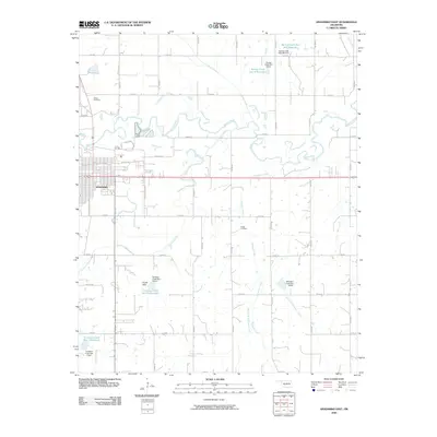 2009 Anadarko East2009 Print · USGSAnadarko expands eastward into the Caddo County prairie during the early 2000s, where the winding Washita River meets a landscape of managed waterways. Family historians can pinpoint Kiowa Cemetery and Roach Cemetery among the section-line roads and numerous reservoirs.
 - 2009 Map of Anadarko West, 2009 Print
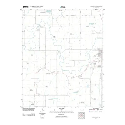 2009 Anadarko West2009 Print · USGSCaddo County's river valley and rural uplands are shown in the first decade of the millennium as a landscape defined by the Washita River and local agriculture. Researchers can trace family sites at Red Stone Cemetery or locate the historic Holiness Camp and Nazarene Camp.
 - 2009 Map of Medford, 2009 Print
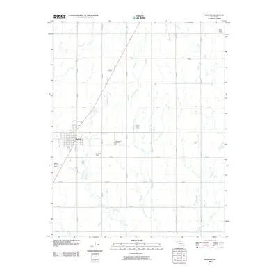 2009 Medford2009 Print · USGSMedford and the Grant County plains are captured here in the early 2000s, showing a landscape defined by industrial energy and deep-rooted immigrant heritage. Genealogists can locate family sites at the Czecko Slovak Cemetery and Rosemound Cemetery or trace the Numa Oil Field.
 - 2009 Map of Ames, 2009 Print
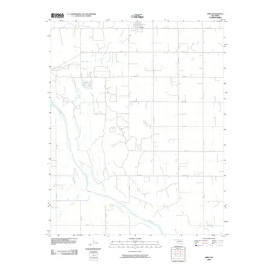 2009 Ames2009 Print · USGSThe rural town of Ames and the surrounding Oklahoma prairie are captured here in the early twenty-first century. Genealogists and local historians can trace the precise section-line roads and water features like Silver Lake and the Cimarron River.
 - 2009 Map of Fairmont, 2009 Print
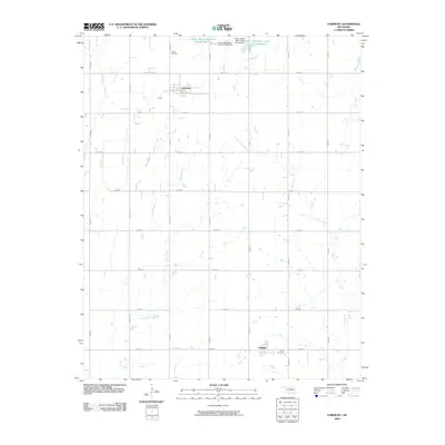 2009 Fairmont2009 Print · USGSGarfield County's rural landscape is captured here in the early twenty-first century, showing the small communities of Fairmont and Douglas. Researchers can trace local heritage at Collett Cemetery or follow the paths of Bitter Creek and Otter Creek through the prairie.
 - 2009 Map of Enid SE, 2009 Print
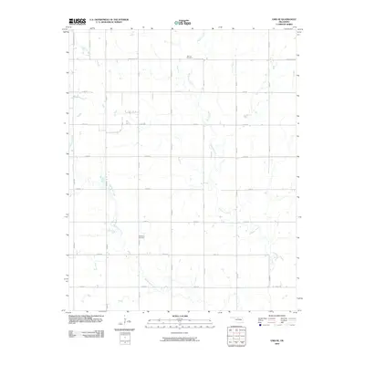 2009 Enid SE2009 Print · USGSSoutheast Oklahoma prairie life in the early 21st century is defined here by the meeting of expanding suburban grids and historic rural landmarks. Researchers can trace family ties at Bethany Cemetery and Hackberry Cemetery or follow the natural bends of Skeleton Creek.
 - 2009 Map of Wakita SE, 2009 Print
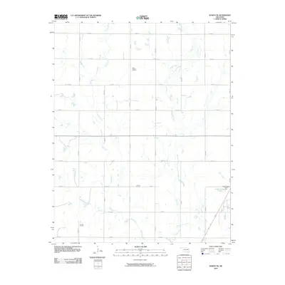 2009 Wakita SE2009 Print · USGSGrant County’s rural landscape is captured here in the early twenty-first century, showing a region shaped by agricultural section lines and quiet creek beds. Researchers can locate family landmarks like Saint Anthony Cemetery, Fairview Cemetery, and the remote Klondike Cemetery set along Pond Creek.
 - 2009 Map of Lamont, 2009 Print
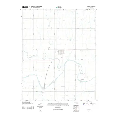 2009 Lamont2009 Print · USGSGrant County agriculture and energy production meet at the turn of the twenty-first century in this detailed survey of Lamont. Researchers can trace local heritage at the Lamont Cemetery or follow the path of the Salt Fork Arkansas River through Whitworth Bend.
 - 2009 Map of Lambert, 2009 Print
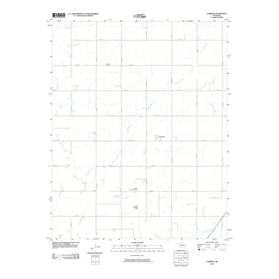 2009 Lambert2009 Print · USGSAlfalfa County's rural landscape is captured here in the early twenty-first century, showcasing the enduring agricultural grid of the Oklahoma prairie. Family historians can locate Auburn Cemetery and the settlement of Lambert, or trace the paths of Cottonwood Creek and West Clay Creek.
 - 2009 Map of Glass Mountains NE, 2009 Print
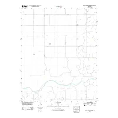 2009 Glass Mountains NE2009 Print · USGSAlfalfa County's river plains and energy fields are documented here in the early twenty-first century. Genealogists and researchers can locate the Pleasant Ridge Cemetery and trace the industrial footprint of the Oakdale Gas and Oil Field near the Cimarron River.
 - 2009 Map of Cherokee North, 2009 Print
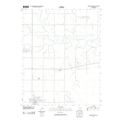 2009 Cherokee North2009 Print · USGSCherokee and the surrounding Alfalfa County plains are documented here in the early twenty-first century, showing a landscape defined by river valleys and section roads. Researchers can locate the Stella Friends Academy Cemetery and trace the meandering Salt Fork Arkansas River or Cottonwood Creek.
 - 2009 Map of Carmen, 2009 Print
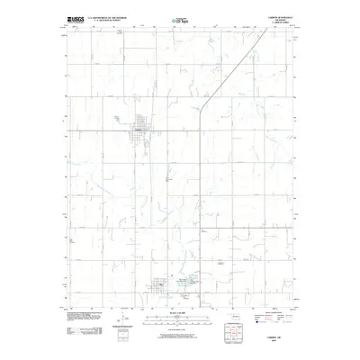 2009 Carmen2009 Print · USGSAlfalfa County is seen here in the early twenty-first century, showing a landscape defined by prairie agriculture and energy production. Researchers can trace family history through five different burial sites like Solf Cemetery and explore the South Carmen Oil Field.
Showing maps 1-25
Top cities of Oklahoma
- Oklahoma City historical maps
- Tulsa historical maps
- Norman historical maps
- Broken Arrow historical maps
- Lawton historical maps
- Edmond historical maps
See more
Top counties of Oklahoma
- Oklahoma County historical maps
- Cleveland County historical maps
- Canadian County historical maps
- Comanche County historical maps
- Rogers County historical maps
- Payne County historical maps
See more
Frequently asked questions
- What are the different types of historical maps available for Oklahoma?
- What is the oldest map of Oklahoma?
- Where can I purchase historical maps of Oklahoma for my home or office?
- Where can I download high-res historical maps of Oklahoma?
- Are there historical topographic maps available for Oklahoma?
- Is there historical aerial imagery available for Oklahoma?
- Where are historical maps of Oklahoma sourced from?