2010s Maps of Oklahoma
Explore 4,715 historic maps of Oklahoma from the 2010s. These maps offer a rare glimpse into what life looked like during the 2010s — showing old roads, neighborhoods, homes, and landmarks that have changed or disappeared over time.
Whether you're researching your family's past, planning a metal detecting trip, or studying how Oklahoma's landscape evolved across the 2010s, these high-resolution maps are a powerful tool for exploring the history of this region.
- Focus on a specific era: All maps on this page are from the 2010s, giving you a focused view of this time period.
- See what’s changed: Compare century-old streets, trails, and buildings to today's modern landscape using overlays and satellite layers.
- Research with precision: Use these maps for genealogy, historical research, land use analysis, or educational projects.
- View, download, or print: Maps are fully viewable online in high resolution, and can be downloaded or printed for your own records.
Start exploring Oklahoma's history through authentic maps from the 2010s. This is your window into the past.
Oklahoma maps
(4,715)- 2010 Map of Vici NW, 2010 Print
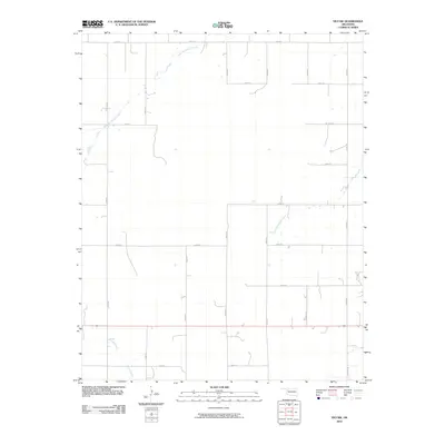 2010 Vici NW2010 Print · USGSWoodward County's rural plains are captured here in the early twenty-first century, showing a landscape defined by sectional roads and natural waterways. Genealogists and local historians can trace the paths of North Persimmon Creek, South Persimmon Creek, and Turkey Creek through the prairie grid.
 - 2010 Map of Sharon, 2010 Print
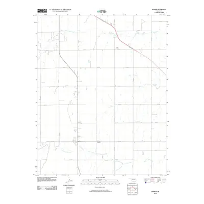 2010 Sharon2010 Print · USGSThe town of Sharon sits at the heart of this Woodward County survey from the late 2000s, surrounded by the winding forks of the Oklahoma plains. Family historians can locate specific burial sites at Vonton Cemetery and North Persimmon Cemetery while tracing the courses of North Persimmon Creek.
 - 2010 Map of Sleeping Bear Creek SE, 2010 Print
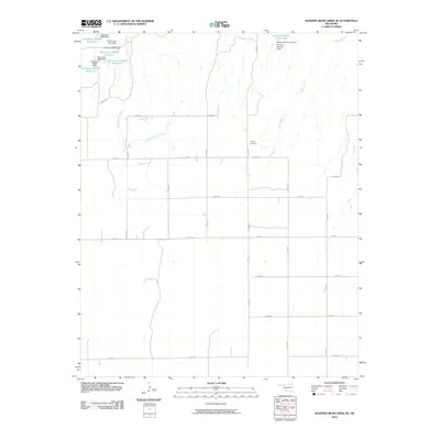 2010 Sleeping Bear Creek SE2010 Print · USGSWoodward County's rural plains are documented here in the early 21st century, showing the intersection of natural waterways and modern water management. Researchers can locate the Latrop Cemetery or trace the routes of Sleeping Bear Creek and Traders Creek among numerous small reservoirs.
 - 2010 Map of May East, 2010 Print
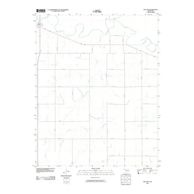 2010 May East2010 Print · USGSThe village of May sits at the edge of the winding Beaver River in this early 2010s survey of the Oklahoma Panhandle. Genealogists and local historians can trace rural property boundaries along the section-line grid, from Sand Creek to the junctions of 412 and 270.
 - 2010 Map of Lane NW, 2010 Print
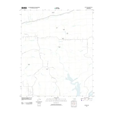 2010 Lane NW2010 Print · USGSAtoka County's rural landscape at the start of the 21st century reveals a network of named hollows and prairies north of the McGee Creek reservoir. Researchers can trace the local drainage systems of Potapo Creek and find specific landmarks like Hiawana Prairie and the Atoka County Dam.
 - 2010 Map of Mooreland, 2010 Print
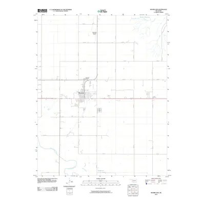 2010 Mooreland2010 Print · USGSThe Woodward County plains are documented here in 2010, centered on the grid of Mooreland and the winding North Canadian River. Genealogists and local historians can trace rural property orientations near Mooreland Cemetery and the outlying Curtis Cemetery.
 - 2010 Map of Wildhorse Mountain, 2010 Print
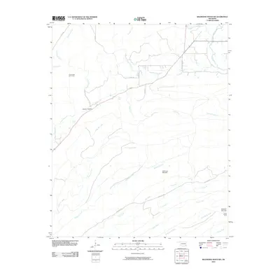 2010 Wildhorse Mountain2010 Print · USGSOklahoma's mountain country comes into focus in this 2010 survey of the terrain near Divide. Local historians can trace early forest management and water features across Wildhorse Mountain, the Cloudy Lookout Tower, and the Pryor Creek Site 31 Dam.
 - 2010 Map of Bartlesville South, 2010 Print
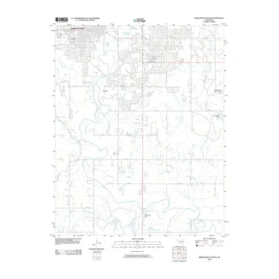 2010 Bartlesville South2010 Print · USGSBartlesville and the winding Caney River valley are shown here in the early twenty-first century as suburban growth expanded southward. Genealogists can locate several key burial sites including Silver Lake Cemetery and White Rose Cemetery alongside landmarks like the Richard Kane Dam.
 - 2010 Map of Sweetwater, 2010 Print
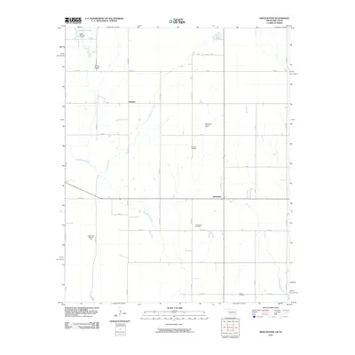 2010 Sweetwater2010 Print · USGSOklahoma's western borderlands are captured here during a period of active energy development and rural continuity. Researchers can trace family roots at Mulberry Cemetery and Salem Cemetery or locate the extensive operations of the Sweetwater Gas Field.
 - 2010 Map of Rough Creek, 2010 Print
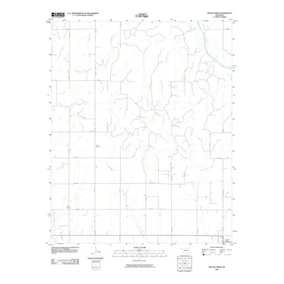 2010 Rough Creek2010 Print · USGSCuster County's agricultural heartland is documented here in the early twenty-first century, showing a landscape defined by its section-line roads and creek beds. Genealogists can locate family landmarks like Forney Cemetery and Bethel Cemetery among the winding waters of Rough Creek.
 - 2010 Map of Quinlan, 2010 Print
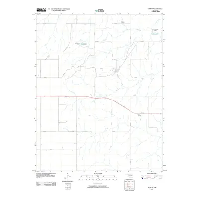 2010 Quinlan2010 Print · USGSNorthwestern Oklahoma’s rural landscape is captured here in the years following the turn of the millennium. Researchers can trace land ties at Red Top Cemetery and Union Cemetery or follow the paths of West Creek and Cuddy Creek through the prairie.
 - 2010 Map of White Oak, 2010 Print
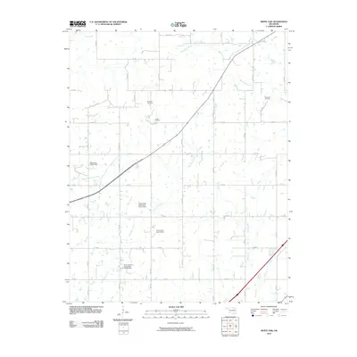 2010 White Oak2010 Print · USGSNortheastern Oklahoma's rural landscape is captured here at the start of the twenty-first century, showing a mix of resource extraction and local heritage. Researchers can locate family sites near the Shawnee Cemetery and trace the extent of the Catale Oil Field.
 - 2010 Map of Willow, 2010 Print
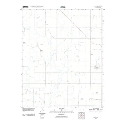 2010 Willow2010 Print · USGSGreer County, Oklahoma, is shown in the early twenty-first century as a landscape of structured ranching and farming. Genealogists and local historians can trace family roots through the Willow Cemetery or explore landmarks like Haystack Mountain and James Travis Dam.
 - 2010 Map of Big Cabin, 2010 Print
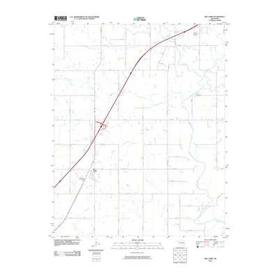 2010 Big Cabin2010 Print · USGSOklahoma's rural Craig County is captured here in the early twenty-first century, centered on the historic crossroads of Big Cabin. Genealogists and local researchers can trace family landmarks like Big Cabin Cemetery and Landrum Cemetery.
 - 2010 Map of Gotebo East, 2010 Print
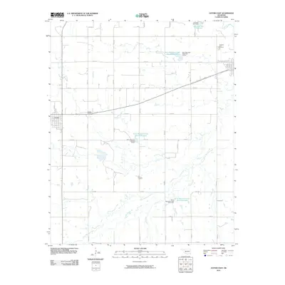 2010 Gotebo East2010 Print · USGSKiowa County farming communities are captured here in the early twenty-first century, showing a landscape defined by a grid of section roads and water management. Trace family history at the Gotebo Cemetery and Mountain View Cemetery, or follow the winding course of the Washita River.
 - 2010 Map of Trail, 2010 Print
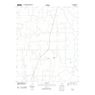 2010 Trail2010 Print · USGSDewey County’s rural landscape is captured here in the early twenty-first century, showing a region defined by its wide river bends and section-line roads. Genealogists and researchers can locate the Trail Cemetery and trace the paths of Red Creek or Mouse Hollow.
 - 2010 Map of Parker, 2010 Print
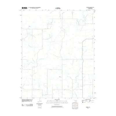 2010 Parker2010 Print · USGSCoal County at the start of the 2010s is a landscape of winding creeks and section line roads. Family historians can trace local ties through Pirie Cemetery and McCarty Cemetery, or follow the banks of the Muddy Boggy Creek.
 - 2010 Map of Rhea, 2010 Print
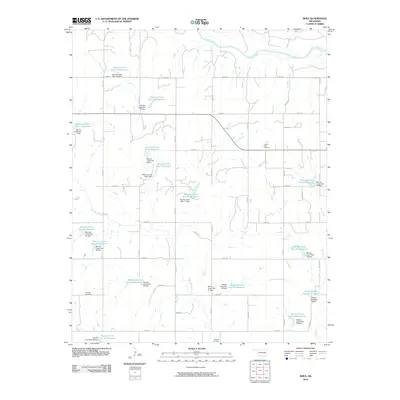 2010 Rhea2010 Print · USGSThis Dewey County landscape is defined by its extensive watershed management at the end of the first decade of the 2000s. Genealogists and local researchers can pinpoint significant burial sites like the German Cemetery, Center Point Cemetery, and Osceola Cemetery.
 - 2010 Map of Lake Valley, 2010 Print
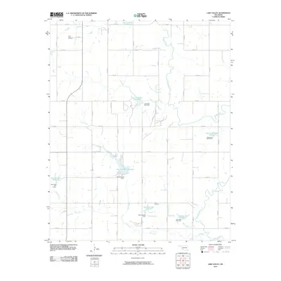 2010 Lake Valley2010 Print · USGSWashita County's agricultural landscape is documented here in the early twenty-first century, showing a region transformed by extensive water management. Researchers can locate ancestral sites at Cloud Chief Cemetery or trace the drainage of Trail Elk Creek and Wild Cat Creek.
 - 2010 Map of Winganon, 2010 Print
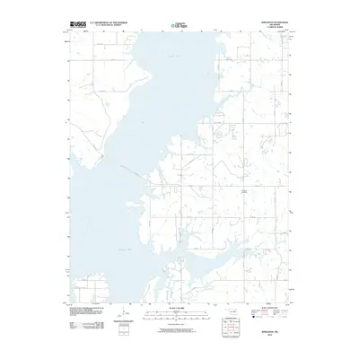 2010 Winganon2010 Print · USGSThe waters of Oologah Lake define the geography of Rogers County in this early twenty-first-century survey. Local researchers can trace the rural road network surrounding the Winganon Cemetery or follow the paths of Spencer Creek and Plumb Creek.
 - 2010 Map of Carter East, 2010 Print
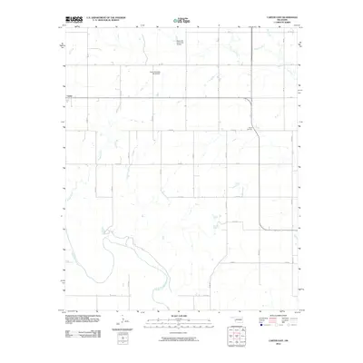 2010 Carter East2010 Print · USGSOklahoma's western plains are captured here in the decade following the turn of the millennium, showing a landscape shaped by the North Fork Red River. Genealogists and local researchers can trace section-line roads to Poarch Cemetery or the eastern outskirts of Carter.
 - 2010 Map of Minnow Creek, 2010 Print
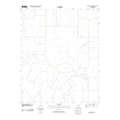 2010 Minnow Creek2010 Print · USGSBeckham County, Oklahoma, is shown here in the early twenty-first century, revealing a rural landscape defined by the section-line road grid. Researchers can trace the drainage of Minnow Creek and Deer Creek across routes like E 1320 Rd.
 - 2010 Map of Plainview, 2010 Print
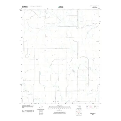 2010 Plainview2010 Print · USGSGreer County, Oklahoma, is documented here in the early twenty-first century as a landscape of steady agricultural roots and quiet landmarks. Genealogists can locate family sites near Plainview Cemetery or trace the geography around Haystack Mountain and Station Creek.
 - 2010 Map of Hocker, 2010 Print
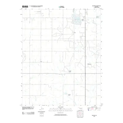 2010 Hocker2010 Print · USGSWestern Oklahoma’s plains near Elk City are shown in the early twenty-first century as a land of oil production and watershed management. Genealogists and local historians can locate the Bellview Cemetery and Ural Cemetery among the grid of county roads.
 - 2010 Map of Flying Creek, 2010 Print
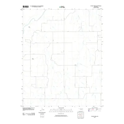 2010 Flying Creek2010 Print · USGSDewey County at the start of the 2010s is characterized by its wide rural stretches and essential river drainage systems. Genealogists and local historians can locate the Center Chapel Cemetery and Shirley Cemetery, or trace the path of the Canadian River.
Showing maps 1-25 of 4,715
Top cities of Oklahoma
- Oklahoma City historical maps
- Tulsa historical maps
- Norman historical maps
- Broken Arrow historical maps
- Lawton historical maps
- Edmond historical maps
See more
Top counties of Oklahoma
- Oklahoma County historical maps
- Cleveland County historical maps
- Canadian County historical maps
- Comanche County historical maps
- Rogers County historical maps
- Payne County historical maps
See more
Frequently asked questions
- What are the different types of historical maps available for Oklahoma?
- What is the oldest map of Oklahoma?
- Where can I purchase historical maps of Oklahoma for my home or office?
- Where can I download high-res historical maps of Oklahoma?
- Are there historical topographic maps available for Oklahoma?
- Is there historical aerial imagery available for Oklahoma?
- Where are historical maps of Oklahoma sourced from?