2020s Maps of Carter County, Oklahoma
Explore 26 historic maps of Carter County from the 2020s. These maps offer a rare glimpse into what life looked like during the 2020s — showing old roads, neighborhoods, homes, and landmarks that have changed or disappeared over time.
Whether you're researching your family's past, planning a metal detecting trip, or studying how Carter County's landscape evolved across the 2020s, these high-resolution maps are a powerful tool for exploring the history of this region.
- Focus on a specific era: All maps on this page are from the 2020s, giving you a focused view of this time period.
- See what’s changed: Compare century-old streets, trails, and buildings to today's modern landscape using overlays and satellite layers.
- Research with precision: Use these maps for genealogy, historical research, land use analysis, or educational projects.
- View, download, or print: Maps are fully viewable online in high resolution, and can be downloaded or printed for your own records.
Start exploring Carter County's history through authentic maps from the 2020s. This is your window into the past.
Carter County, OK maps
(26)- 2022 Map of Overbrook, 2022 Print
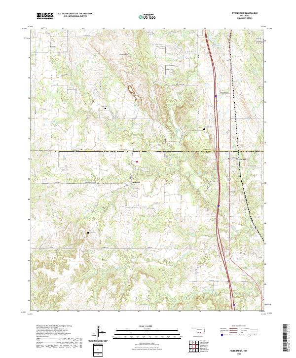 2022 Overbrook2022 Print · USGSLove and Carter Counties appear here in a recent survey of the south-central Oklahoma landscape. Researchers can trace rural lineages through local landmarks like Criner Cem and Gordon Cem or locate old homesteads near Marsden and Brock.
 - 2022 Map of Lake Murray, 2022 Print
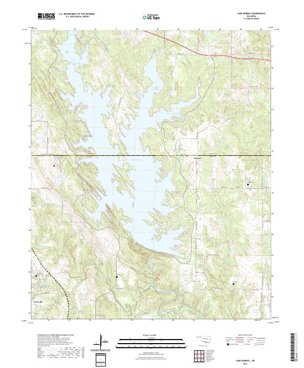 2022 Lake Murray2022 Print · USGSThe Oklahoma lakeside communities of Carter and Love counties are shown here as they appear in the early twenty-first century. Genealogists and local historians can locate several rural burial grounds including Wilson Cem and Ran Cem near Hoxbar.
 - 2022 Map of Gene Autry, 2022 Print
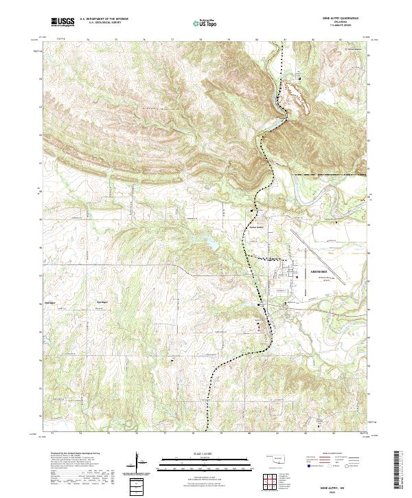 2022 Gene Autry2022 Print · USGSSouthern Oklahoma’s transition from the Arbuckle foothills to the Washita River valley is captured here in the early twenty-first century. Researchers can trace local heritage through numerous burial sites like Old Berwyn Cem and the settlement at Gene Autry.
 - 2022 Map of Ringling, 2022 Print
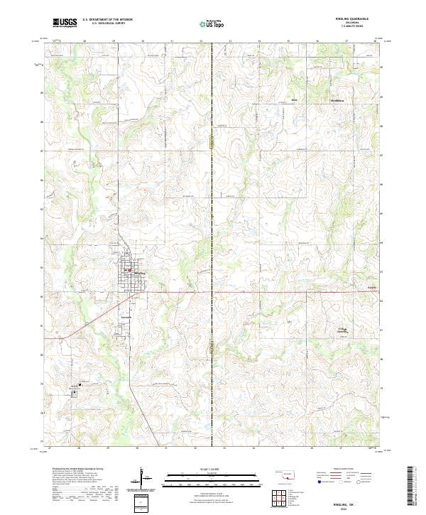 2022 Ringling2022 Print · USGSThe crossroads of Ringling and Cornish are captured here in the early twenty-first century, surrounded by a dense network of family-named roads and oil-industry paths. Researchers can locate local landmarks like Cornish Cem, Cobalt Junction, and the winding Post Oak Cr.
 - 2022 Map of Pernell, 2022 Print
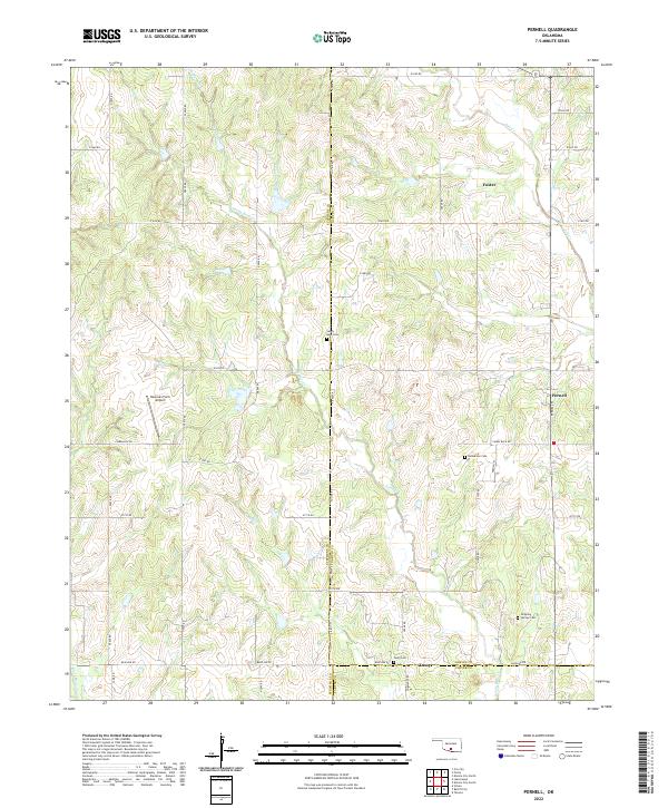 2022 Pernell2022 Print · USGSThe rural borderlands of Stephens, Garvin, and Carter counties are captured here in the early 2020s. Researchers can locate family-named cemeteries such as Robberson Cem and Dripping Springs Cem or trace the early paths of Sandy Bear Cr and Salt Cr.
 - 2022 Map of Healdton SE, 2022 Print
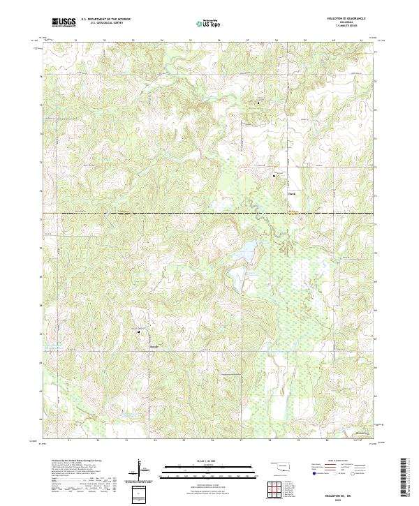 2022 Healdton SE2022 Print · USGSOklahoma's southern borderlands near the Carter-Love county line are shown here in the 2020s, highlighting a quiet landscape of ranching and water reservoirs. Genealogists can locate family sites near Cheek and Oswalt, or trace the paths of Walnut Bayou and Polecat Cr.
 - 2022 Map of Healdton SW, 2022 Print
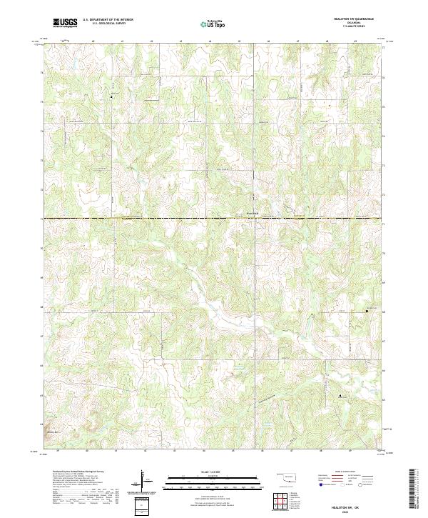 2022 Healdton SW2022 Print · USGSSouthern Oklahoma ranching and agricultural lands are shown here in the early twenty-first century along the Carter and Love County line. Genealogists and local historians can locate family burial sites at Reck Cemetery, Morgan Cemetery, and Simon Cemetery.
 - 2022 Map of Cottonwood Creek, 2022 Print
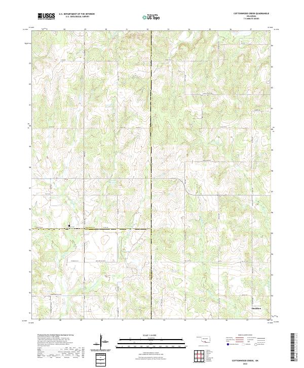 2022 Cottonwood Creek2022 Print · USGSSouthern Oklahoma's three-county borderlands near the city of Healdton are detailed here in the early twenty-first century. Researchers can trace rural cemeteries and local landmarks including Dixie Cem, Whisky Cr, and the uniquely named Convict Hill Rd.
 - 2022 Map of Fox NE, 2022 Print
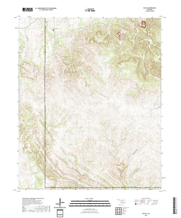 2022 Fox NE2022 Print · USGSThe Arbuckle Mountains in south-central Oklahoma are shown here as they appeared recently, defined by a dense network of watercourses and rural roads. Genealogists and local historians can trace the area surrounding Hennepin Cem or locate the headwaters of Eightmile Cr and Hickory Cr.
 - 2022 Map of Lone Grove, 2022 Print
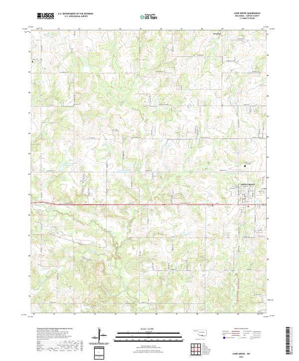 2022 Lone Grove2022 Print · USGSLone Grove and the surrounding Carter County prairies are shown in detail here during the early twenty-first century. Genealogists and local historians can trace the town's expansion and locate rural landmarks like Keller Cem, Lone Grove Cem, and the waters of Walnut Bayou.
 - 2022 Map of Hennepin, 2022 Print
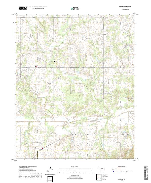 2022 Hennepin2022 Print · USGSThe rural landscapes of south-central Oklahoma are captured here in the 2020s, showing the enduring agricultural and residential patterns of the region. Researchers can trace family sites near Hennepin, Sweet Home Cem, and the foothills of the Arbuckle Mountains.
 - 2022 Map of Elmore City South, 2022 Print
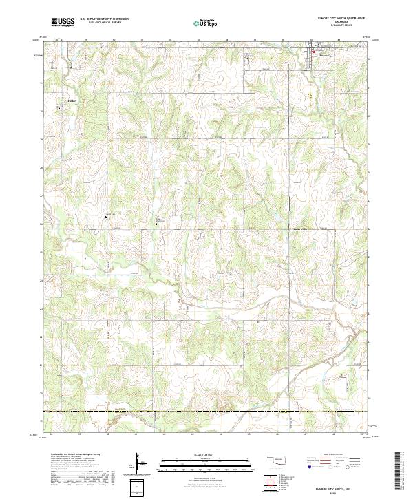 2022 Elmore City South2022 Print · USGSGarvin County in the early twenty-first century reveals a landscape of quiet rural settlements and established family homesteads. Genealogists can trace local roots through sites like Little Flock Cem, the community of Satterwhite, and the outskirts of Elmore City.
 - 2022 Map of Orr, 2022 Print
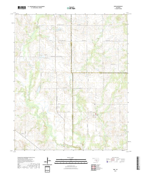 2022 Orr2022 Print · USGSThe tri-county borderlands of Jefferson, Carter, and Love Counties are documented here in the early twenty-first century. Local historians can trace the rural layout of Orr, locate the Orr Cem, and follow the drainages of Mud Cr and Clear Cr.
 - 2022 Map of Turner Falls, 2022 Print
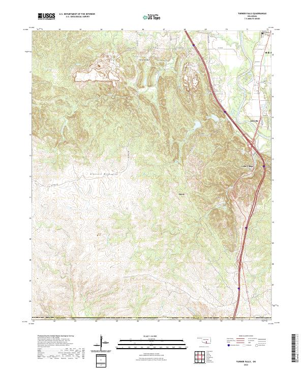 2022 Turner Falls2022 Print · USGSIn the heart of the Arbuckle Mountains during the early 2020s, this area showcases the famous cascades and growing rural communities. You can trace the winding course of Honey Cr to find Turner Falls and Bridal Veil Falls, or locate family sites near Jollyville and Green Hill Hill Cem.
 - 2022 Map of Ardmore West, 2022 Print
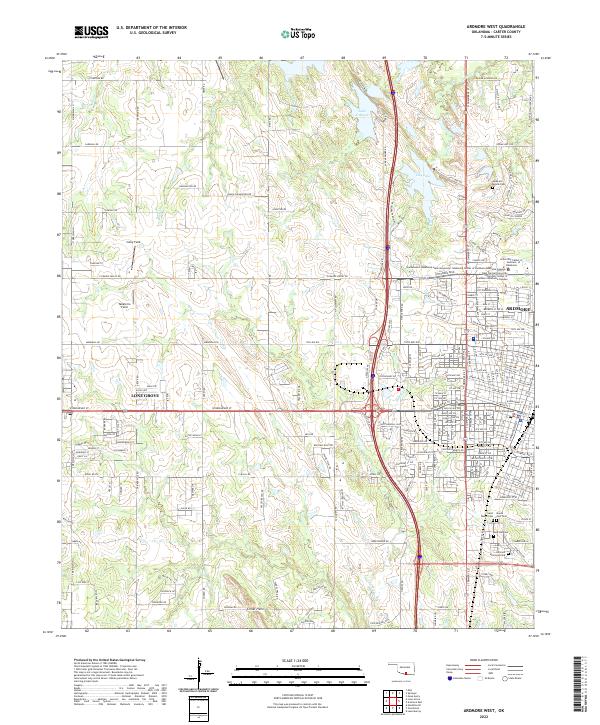 2022 Ardmore West2022 Print · USGSArdmore and nearby Lone Grove are shown at their modern extent in the early 2020s, highlighting the expansion of residential and educational infrastructure. Trace local family history at Rose Hill Cem or locate civil landmarks like the Carter County Courthouse.
 - 2022 Map of Mannsville, 2022 Print
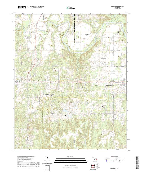 2022 Mannsville2022 Print · USGSOklahoma's river-cut borderlands are captured here in the early twenty-first century as the landscape spans three counties. Researchers can trace rural lineages through local landmarks like Thomas Cem, the community of Durwood, and the banks of the Washita River.
 - 2022 Map of McMillan, 2022 Print
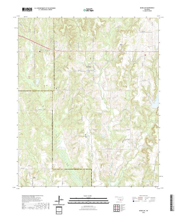 2022 McMillan2022 Print · USGSThe Oklahoma borderlands of Marshall and Love Counties are revealed in this modern survey of rural settlements and family landmarks. Researchers can trace ancestral roots through several small burial grounds, including McMillan Cem, Keel Cem, and the uniquely named I Hunter Pickens Cem.
 - 2022 Map of Nebo, 2022 Print
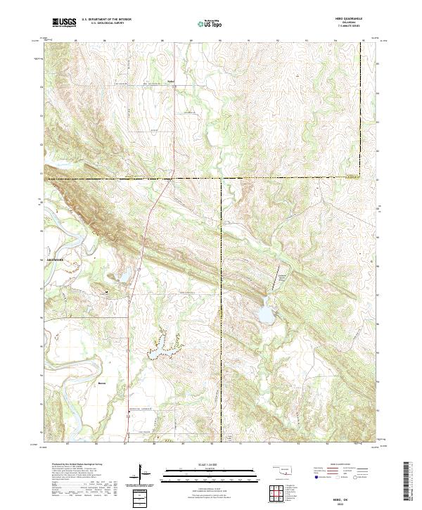 2022 Nebo2022 Print · USGSSouthern Oklahoma's Arbuckle foothills come into focus in this recent survey of Carter and Johnston Counties. Researchers can trace rural lineages at Young Cem or explore the terrain around the settlements of Nebo and Baum.
 - 2022 Map of Milo, 2022 Print
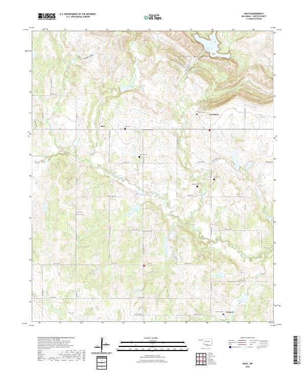 2022 Milo2022 Print · USGSCarter County settlement and geography are documented here during the early twenty-first century, featuring the southern edge of the Arbuckle Mountains. Genealogists can trace family history through several local burial sites, including Jehovah Cem and Newport Cem.
 - 2022 Map of Tatums, 2022 Print
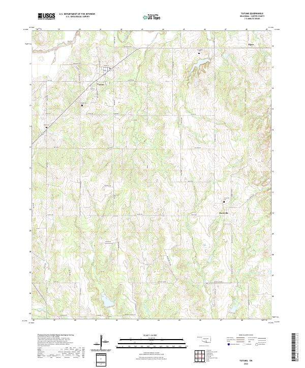 2022 Tatums2022 Print · USGSOklahoma’s Carter County comes into focus in this contemporary survey, showing the transition from open prairie to the Arbuckle Mountains. Genealogists can trace local family roots through several landmarks including Tatums Cem, Oil Spring Cem, and the community of Pooleville.
 - 2022 Map of Fox, 2022 Print
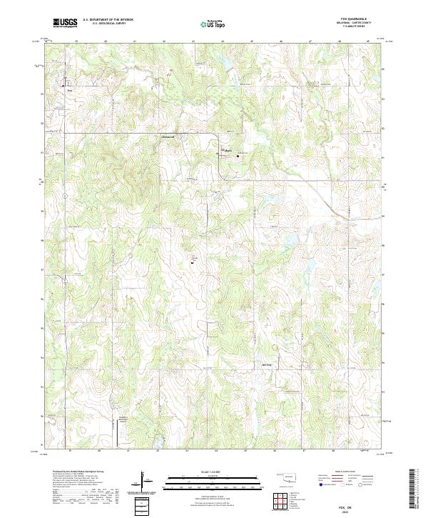 2022 Fox2022 Print · USGSOklahoma's oil country comes into focus in this recent survey of the Carter County landscape. Genealogists and historians can trace the rural communities of Fox, Graham, and Clemscott, alongside landmarks like Graham Cem and Oil Springs Cem.
 - 2022 Map of Dougherty, 2022 Print
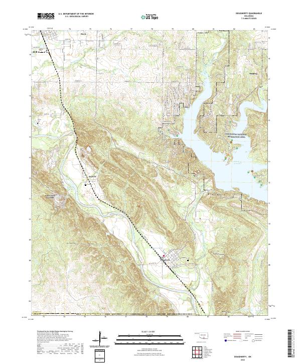 2022 Dougherty2022 Print · USGSOklahoma's southern hill country is documented here in recent years, showing the intersection of the Arbuckle Mountains and the Washita River. Researchers can trace local burial sites like Dougherty Cem or locate the rural grounds of the Falls Creek Assembly.
 - 2022 Map of Springer, 2022 Print
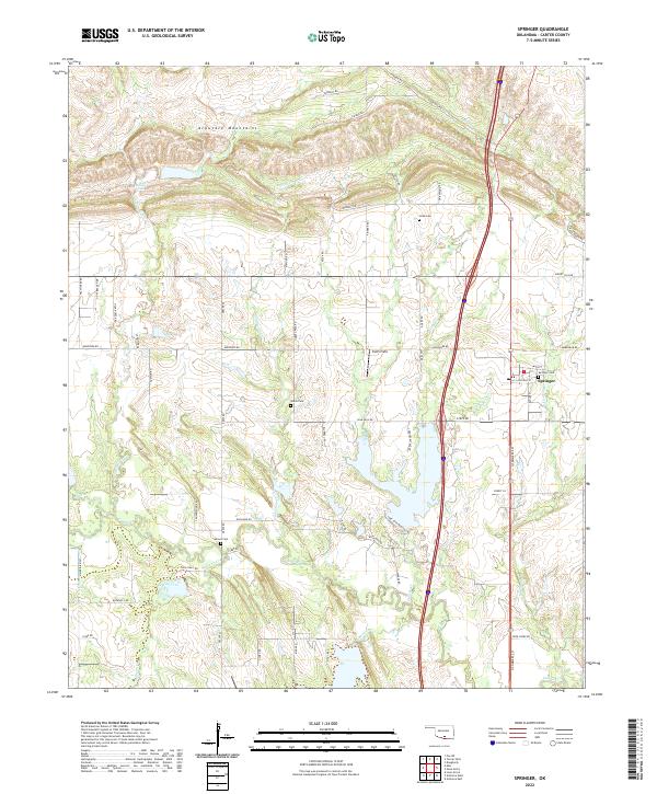 2022 Springer2022 Print · USGSSouth-central Oklahoma's diverse terrain is on display here in the early 2020s, from the southern edges of the Arbuckle Mountains to the plains of Carter County. Genealogists and local historians can trace legacy burial grounds like Springer Cemetery and Gaines Cem among the waters of Grindstone Cr.
 - 2022 Map of Healdton, 2022 Print
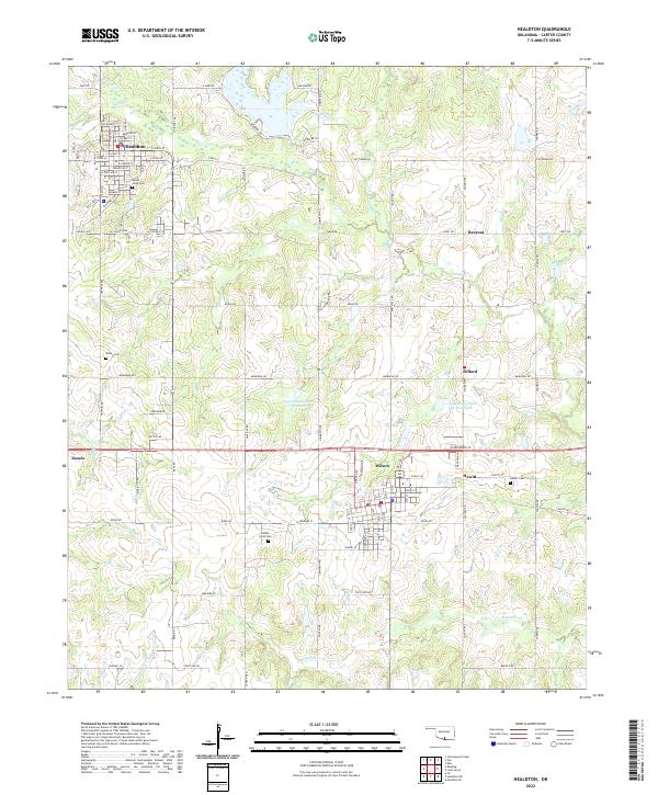 2022 Healdton2022 Print · USGSHealdton and the surrounding Carter County oil patch are documented in this contemporary survey. Genealogists can locate family-named landmarks like Mount Olive Cem, Bailey Cem, and the small settlement of Rexroat.
 - 2022 Map of Ardmore East, 2022 Print
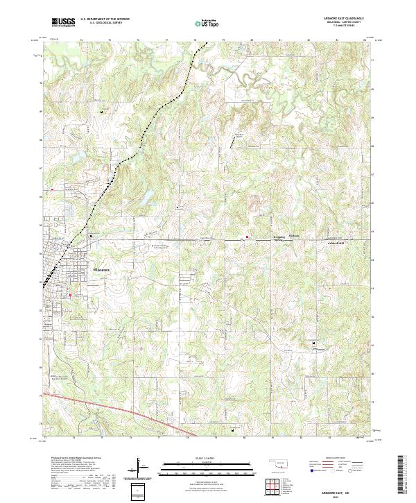 2022 Ardmore East2022 Print · USGSEastern Carter County at the start of the 2020s shows the modern footprint of Oklahoma's urban-to-rural transition. Genealogists and local historians can trace family locations near Clearview Com, Provence, and historic burial sites like Cole Cem.
Showing maps 1-25 of 26
Top cities of Carter County
- Ardmore historical maps
- Lone Grove historical maps
- Healdton historical maps
- Wilson historical maps
- Dickson historical maps
- Springer historical maps
See more
Frequently asked questions
- What are the different types of historical maps available for Carter County?
- What is the oldest map of Carter County?
- Where can I purchase historical maps of Carter County for my home or office?
- Where can I download high-res historical maps of Carter County?
- Are there historical topographic maps available for Carter County?
- Is there historical aerial imagery available for Carter County?
- Where are historical maps of Carter County sourced from?