2010s Maps of Ellis County, Oklahoma
Explore 140 historic maps of Ellis County from the 2010s. These maps offer a rare glimpse into what life looked like during the 2010s — showing old roads, neighborhoods, homes, and landmarks that have changed or disappeared over time.
Whether you're researching your family's past, planning a metal detecting trip, or studying how Ellis County's landscape evolved across the 2010s, these high-resolution maps are a powerful tool for exploring the history of this region.
- Focus on a specific era: All maps on this page are from the 2010s, giving you a focused view of this time period.
- See what’s changed: Compare century-old streets, trails, and buildings to today's modern landscape using overlays and satellite layers.
- Research with precision: Use these maps for genealogy, historical research, land use analysis, or educational projects.
- View, download, or print: Maps are fully viewable online in high resolution, and can be downloaded or printed for your own records.
Start exploring Ellis County's history through authentic maps from the 2010s. This is your window into the past.
Ellis County, OK maps
(140)- 2010 Map of Vici NW, 2010 Print
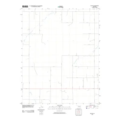 2010 Vici NW2010 Print · USGSWoodward County's rural plains are captured here in the early twenty-first century, showing a landscape defined by sectional roads and natural waterways. Genealogists and local historians can trace the paths of North Persimmon Creek, South Persimmon Creek, and Turkey Creek through the prairie grid.
 - 2010 Map of May East, 2010 Print
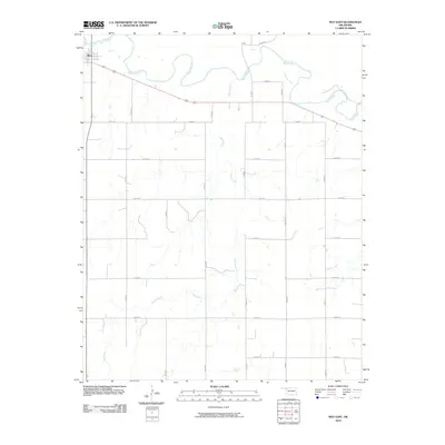 2010 May East2010 Print · USGSThe village of May sits at the edge of the winding Beaver River in this early 2010s survey of the Oklahoma Panhandle. Genealogists and local historians can trace rural property boundaries along the section-line grid, from Sand Creek to the junctions of 412 and 270.
 - 2010 Map of Flying Creek, 2010 Print
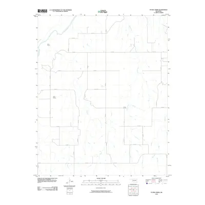 2010 Flying Creek2010 Print · USGSDewey County at the start of the 2010s is characterized by its wide rural stretches and essential river drainage systems. Genealogists and local historians can locate the Center Chapel Cemetery and Shirley Cemetery, or trace the path of the Canadian River.
 - 2010 Map of Shattuck NE, 2010 Print
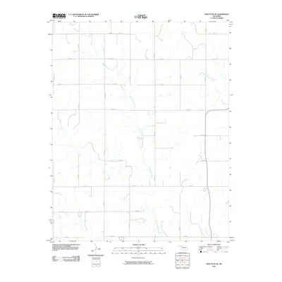 2010 Shattuck NE2010 Print · USGSThe High Plains of Ellis County are captured here at the start of the decade, showing a landscape defined by the section-line grid. Genealogists and local historians can trace property access and drainage along Twentyfive Mile Creek and Sixteenmile Creek.
 - 2010 Map of Shattuck NW, 2010 Print
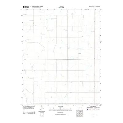 2010 Shattuck NW2010 Print · USGSNorthwest of Shattuck during the first decade of the 2000s, this rural Ellis County landscape reveals a deliberate grid of section-line roads and prairie drainages. Genealogists and local historians can locate Bickford Cemetery and Mount Hope Cemetery nestled near Six Pony Creek and Dry Prong.
 - 2010 Map of Arnett SE, 2010 Print
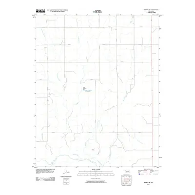 2010 Arnett SE2010 Print · USGSEllis County at the turn of the millennium shows a landscape defined by the winding Canadian River and a rigid grid of rural section roads. Genealogists and local historians can locate Grand Cemetery or trace the drainage of Red Bluff Creek and Mosquito Creek.
 - 2010 Map of Gage, 2010 Print
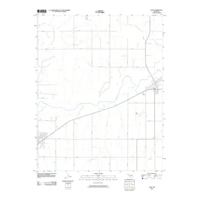 2010 Gage2010 Print · USGSThe High Plains community of Gage is shown in the early twenty-first century, anchored by its proximity to the wandering Wolf Creek. Genealogists and local historians can locate Gage Cemetery, the municipal Gage Airport, and the drainage of Twentyfive Mile Creek.
 - 2010 Map of Harmon SW, 2010 Print
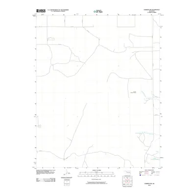 2010 Harmon SW2010 Print · USGSWestern Oklahoma plains and managed water resources define this area of Ellis County during the early twenty-first century. Genealogists and land researchers can trace exact property access via rural routes like N1890 RD or locate family landmarks near Carlton Lake and Little Cottonwood Lake.
 - 2010 Map of Laverne SW, 2010 Print
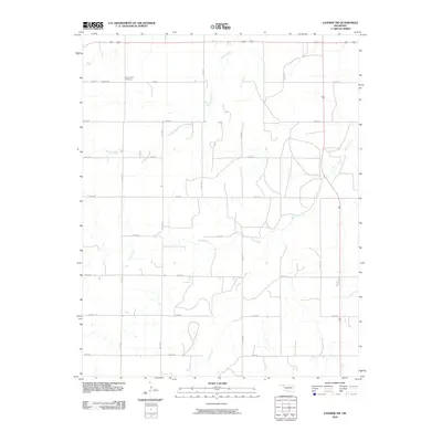 2010 Laverne SW2010 Print · USGSThe rural High Plains of Harper County are captured here in the early twenty-first century, showing the enduring agricultural grid of Oklahoma's panhandle borderlands. Genealogists and local historians can locate Speermoore Cemetery or trace the natural drainage of Spring Creek and Clear Creek.
 - 2010 Map of Fargo SE, 2010 Print
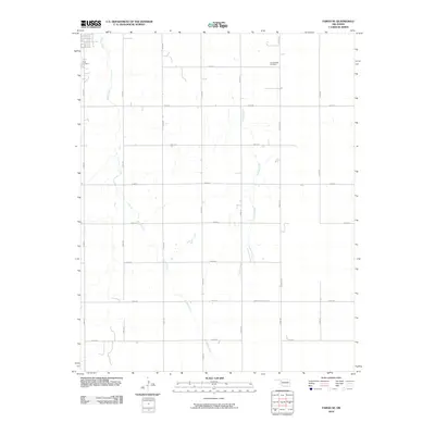 2010 Fargo SE2010 Print · USGSEllis County at the turn of the millennium remains a landscape of structured section roads and quiet creek drainages. Genealogists and local historians can locate burial sites at Fargo Cemetery and Gnadenfield Cemetery or trace the winding paths of Boggy Creek.
 - 2010 Map of May West, 2010 Print
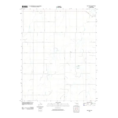 2010 May West2010 Print · USGSNorthwestern Oklahoma’s high plains are captured here in the early twenty-first century, showing a landscape defined by ranch roads and creek beds. Researchers can locate family landmarks like May Cemetery or trace the drainage of Otter Creek and Doersch Reservoir.
 - 2010 Map of Fargo NW, 2010 Print
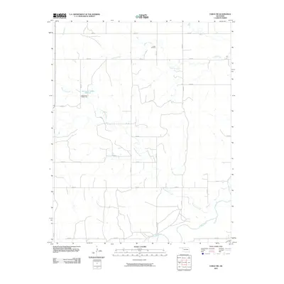 2010 Fargo NW2010 Print · USGSWestern Oklahoma's rural landscape is captured here in the years following the millennium, showing a well-established grid of section roads and drainage basins. Researchers can trace the path of Sixteenmile Creek or locate local landmarks like Sunset Cemetery and the Oknoname 045001 Reservoir.
 - 2010 Map of Vici SW, 2010 Print
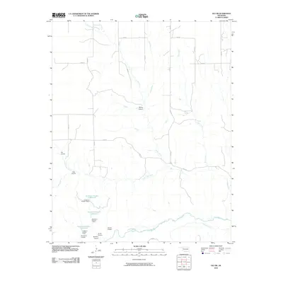 2010 Vici SW2010 Print · USGSDewey County’s canyons and creek beds are documented here in the early 21st century as they drain toward the southern river valley. Trace the local water infrastructure at Hutchison Number 5 Reservoir or navigate the terrain through Spring Canyon and Mulberry Canyon.
 - 2010 Map of Fargo, 2010 Print
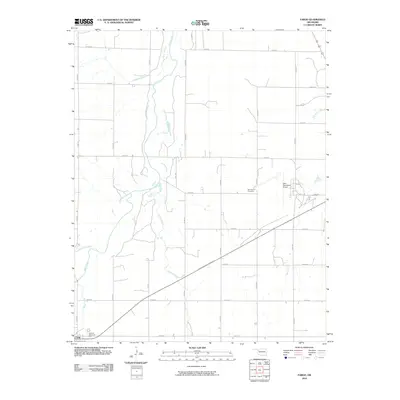 2010 Fargo2010 Print · USGSThe rural plains of Ellis County are captured here in the early twenty-first century, centered on the intersection of town life and cattle country. Researchers can trace the layout of Fargo near Braunch Memorial Park or locate burials at Rest Haven Cemetery.
 - 2010 Map of Roll NW, 2010 Print
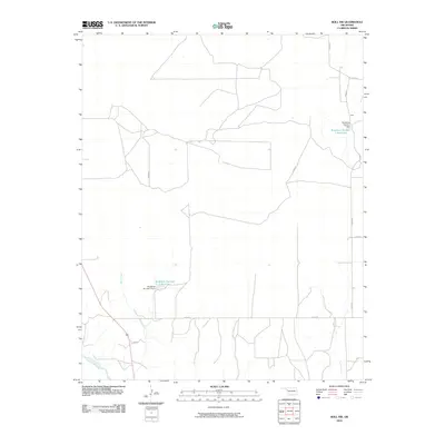 2010 Roll NW2010 Print · USGSEllis County's rural landscape at the start of the 21st century reveals a network of agricultural water management and prairie homesteads. Researchers can trace the community of Peek or locate family-named landmarks like Bradshaw Number 1 Reservoir and West Creek.
 - 2010 Map of Roll NE, 2010 Print
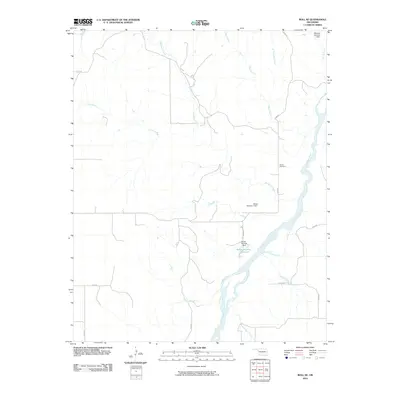 2010 Roll NE2010 Print · USGSWestern Oklahoma’s river-carved landscape is shown here during the early twenty-first century as the Canadian River winds through Ellis County. Local history researchers can locate the Ioland Cemetery or trace the drainage of Hackberry Creek and Spotted Deer Creek.
 - 2010 Map of Harmon NW, 2010 Print
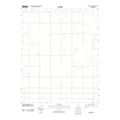 2010 Harmon NW2010 Print · USGSThe High Plains of western Oklahoma are captured here in the early twenty-first century, showing a landscape defined by an unrelenting section-line grid. Genealogists and local historians can trace rural property access and drainage patterns along Buzzard Creek and Little Wolf Creek.
 - 2010 Map of Fargo SW, 2010 Print
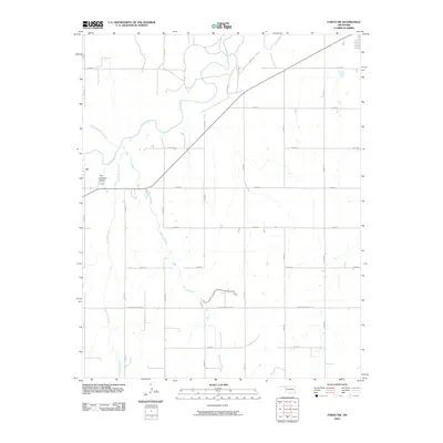 2010 Fargo SW2010 Print · USGSEllis County in the early 2000s shows a landscape of expansive ranching and agriculture defined by the gridded plains. Trace the watercourses of Wolf Creek and Buzzard Creek, or locate the specific site of The Artesian Beach near the section lines.
 - 2010 Map of Arnett, 2010 Print
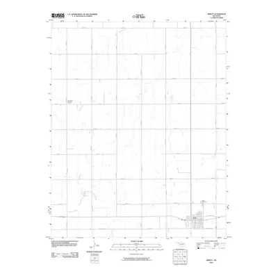 2010 Arnett2010 Print · USGSThe high plains of Ellis County are shown in detail at the start of the decade, centered on the orderly grid of Arnett. Researchers can locate family plots at the Seventh-Day Adventist Cemetery or trace the watercourses of Little Wolf Creek and Red Bluff Creek.
 - 2010 Map of Harmon SE, 2010 Print
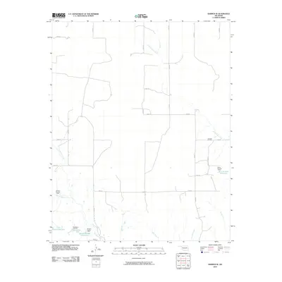 2010 Harmon SE2010 Print · USGSEllis County at the start of the twenty-first century is captured in this detailed study of its rural water and road networks. Genealogists and historians can locate the Lone Star Cemetery and trace family-named water features like Richardson Lake and Davison Number 2 Dam.
 - 2010 Map of Harmon, 2010 Print
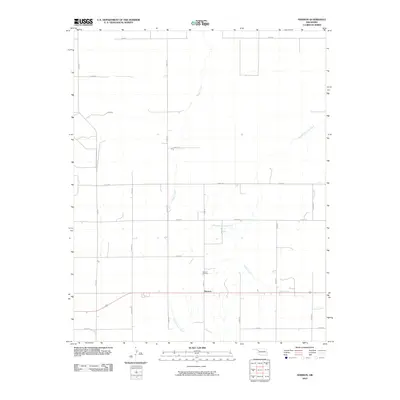 2010 Harmon2010 Print · USGSHarmon and the surrounding Ellis County plains are captured here in the early twenty-first century, showing a landscape defined by traditional section lines. Researchers can locate Harmon Cemetery and trace the winding paths of Turkey Creek and Boggy Creek.
 - 2010 Map of Antelope Hills NE, 2010 Print
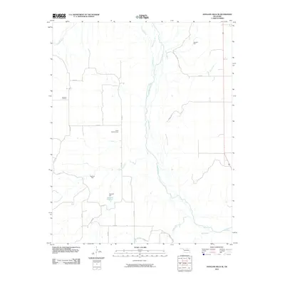 2010 Antelope Hills NE2010 Print · USGSOklahoma's western landscape is defined here by the wide valley of the Canadian River as it appeared in the early twenty-first century. Genealogists and local historians can trace family-named sites and rural infrastructure like the Belleview Cemetery, Hanawalt Reservoir, and Bachman Dam.
 - 2010 Map of Shattuck, 2010 Print
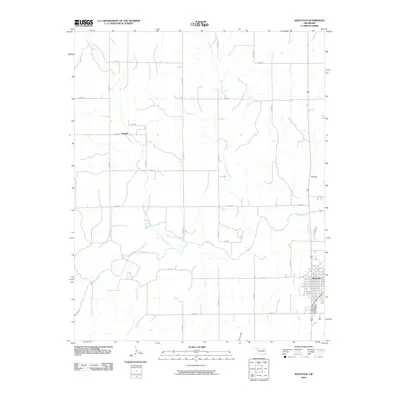 2010 Shattuck2010 Print · USGSShattuck and the surrounding Ellis County plains are captured here in the early twenty-first century. Researchers can trace the grid of the Shattuck townsite and locate landmarks like Flat Top or the rural settlement of Touzalin along Wolf Creek.
 - 2010 Map of Antelope Hills, 2010 Print
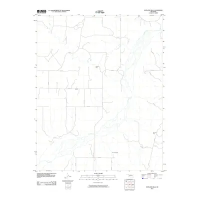 2010 Antelope Hills2010 Print · USGSThe braided channels of the Canadian River define this western Oklahoma landscape in the early twenty-first century. Genealogists and local historians can locate the Lone Tree Cemetery or trace the geography of the Bishop Gas and Oil Field and the distinctive Antelope Hills.
 - 2010 Map of Goodwin, 2010 Print
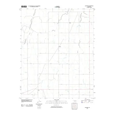 2010 Goodwin2010 Print · USGSOklahoma's high plains near the Texas border come into focus in this late-career survey of Ellis County. Genealogists and local historians can locate rural landmarks like Christ Lutheran Cemetery, the settlement at Goodwin, and the remote Emmons Cemetery near Coon Creek.
Showing maps 1-25 of 140
Top cities of Ellis County
Frequently asked questions
- What are the different types of historical maps available for Ellis County?
- What is the oldest map of Ellis County?
- Where can I purchase historical maps of Ellis County for my home or office?
- Where can I download high-res historical maps of Ellis County?
- Are there historical topographic maps available for Ellis County?
- Is there historical aerial imagery available for Ellis County?
- Where are historical maps of Ellis County sourced from?