2010s Maps of Jackson County, Oklahoma
Explore 108 historic maps of Jackson County from the 2010s. These maps offer a rare glimpse into what life looked like during the 2010s — showing old roads, neighborhoods, homes, and landmarks that have changed or disappeared over time.
Whether you're researching your family's past, planning a metal detecting trip, or studying how Jackson County's landscape evolved across the 2010s, these high-resolution maps are a powerful tool for exploring the history of this region.
- Focus on a specific era: All maps on this page are from the 2010s, giving you a focused view of this time period.
- See what’s changed: Compare century-old streets, trails, and buildings to today's modern landscape using overlays and satellite layers.
- Research with precision: Use these maps for genealogy, historical research, land use analysis, or educational projects.
- View, download, or print: Maps are fully viewable online in high resolution, and can be downloaded or printed for your own records.
Start exploring Jackson County's history through authentic maps from the 2010s. This is your window into the past.
Jackson County, OK maps
(108)- 2010 Map of Prairie Hill, 2010 Print
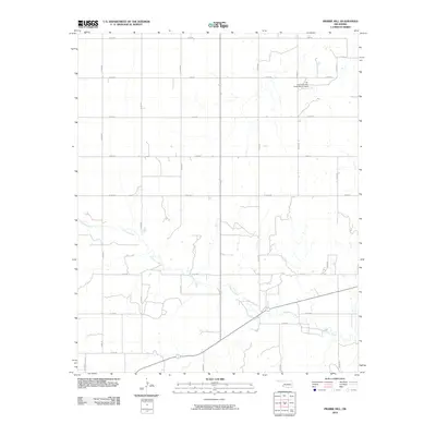 2010 Prairie Hill2010 Print · USGSJackson County, Oklahoma, is shown in the early twenty-first century as a land of structured rural grids and winding waterways. Researchers can trace the path of Gypsum Creek and locate the Tri-County/Turkey Creek Site 27 Dam among the township roads.
 - 2010 Map of Hester, 2010 Print
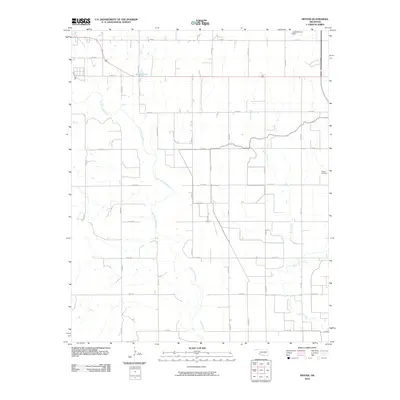 2010 Hester2010 Print · USGSOklahoma's southwestern ranchlands are captured here in the early twenty-first century, showing a landscape defined by the winding Salt Fork Red River. Genealogists and local historians can locate the Hester Cemetery and trace the drainage of Bitter Creek across the section lines.
 - 2010 Map of Headrick, 2010 Print
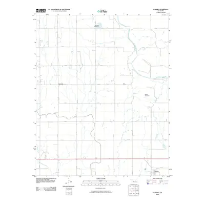 2010 Headrick2010 Print · USGSThe Oklahoma plains near the North Fork Red River appear in this recent survey of Jackson County. Researchers can trace the layout of Headrick and Friendship, locate the Navajo Cemetery, and study the drainage of Stinking Creek.
 - 2010 Map of Tipton, 2010 Print
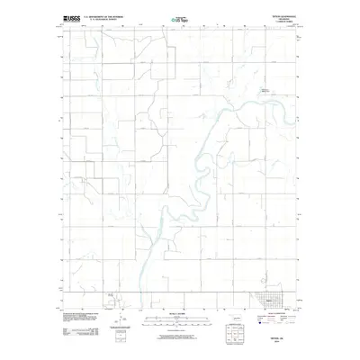 2010 Tipton2010 Print · USGSSouthwestern Oklahoma's agricultural and energy landscape is captured here in the early twenty-first century. Genealogists and local historians can trace the grid of Tillman County roads around Tipton, the Boucher Oil Field, and the winding North Fork Red River.
 - 2010 Map of Altus, 2010 Print
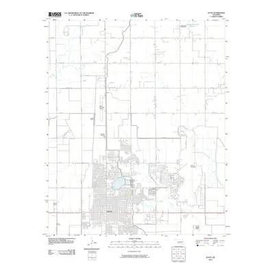 2010 Altus2010 Print · USGSThe city of Altus and the surrounding Jackson County plains are shown in detail during the early twenty-first century. Aviation history and military presence are on full display, from Altus Air Force Base to Stewart Airport and Altus Cemetery.
 - 2010 Map of Duke SW, 2010 Print
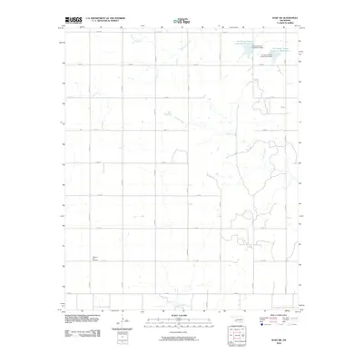 2010 Duke SW2010 Print · USGSJackson County's agricultural landscape is documented here in the early twenty-first century, showing a highly organized grid of rural section roads. Genealogists and researchers can locate Pleasant Hill Cemetery or trace water management at the Tri-County Turkey Creek Site 23 Reservoir.
 - 2010 Map of Duke, 2010 Print
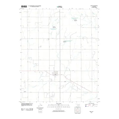 2010 Duke2010 Print · USGSDuke and its surrounding Jackson County plains are documented here in the early 2000s, showing a landscape shaped by rural agriculture and water management. Genealogists and local historians can locate Rock Cemetery, Cottonwood Cemetery, and the various reservoirs along Turkey Creek.
 - 2010 Map of Blair, 2010 Print
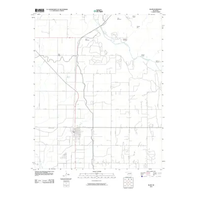 2010 Blair2010 Print · USGSSouthwest Oklahoma's agricultural plains meet the rugged peaks of the Wichita Mountains in the early twenty-first century. Researchers can trace the layout of Blair and City View or locate natural landmarks like Mount Lugert and Devils Canyon along the river.
 - 2010 Map of Long Mountain, 2010 Print
 2010 Long Mountain2010 Print · USGSKiowa County, Oklahoma, is shown here as a landscape of river bends and isolated peaks in the early twenty-first century. Genealogists and local historians can trace the rural communities of Centerville and Lige or locate the Headrick Cemetery and Rogers Cemetery.
 - 2010 Map of Olustee, 2010 Print
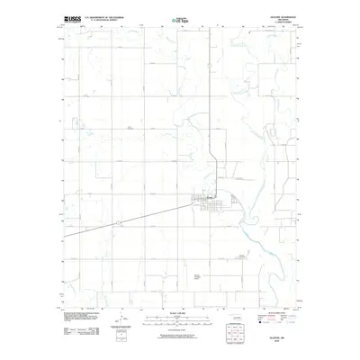 2010 Olustee2010 Print · USGSIn the early twenty-first century, the town of Olustee remains the focal point of Jackson County's agricultural grid. Researchers can trace family history at the Aaron Cemetery and Olustee Cemetery or follow the path of the Salt Fork Red River.
 - 2010 Map of Tipton SE, 2010 Print
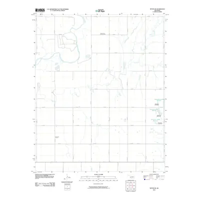 2010 Tipton SE2010 Print · USGSJackson County, Oklahoma, is shown here in the early twenty-first century, dominated by the winding North Fork Red River. Genealogists and local historians can locate the Center View Cemetery and the Pleasant Valley Community Hall amidst a network of rural section roads.
 - 2010 Map of Warren, 2010 Print
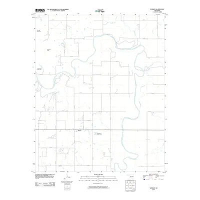 2010 Warren2010 Print · USGSSouthwestern Oklahoma's ranching country is captured here during the early twenty-first century, centered on the community of Warren. Local researchers can trace the course of the North Fork Red River and locate landmarks like Soldiers Peak and Bar W Ranch Rd.
 - 2010 Map of Martha, 2010 Print
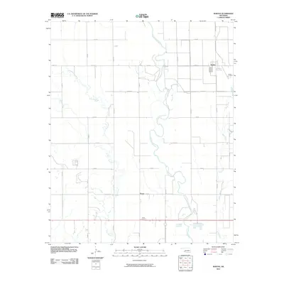 2010 Martha2010 Print · USGSOklahoma's southwestern plains come into focus in 2010, centered on the agricultural settlements of Martha and Victory. Researchers can trace local heritage at Martha Cemetery and Victory Cemetery or follow the meandering path of the Salt Fork Red River.
 - 2010 Map of McQueen, 2010 Print
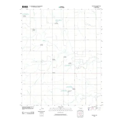 2010 McQueen2010 Print · USGSOklahoma's southwestern plains appear here in the early twenty-first century, showing a landscape defined by industrial-scale water management. Researchers can trace the extensive network of dams and reservoirs along Turkey Creek, including Tri-County Turkey Creek Site 21 Reservoir and the settlement of McQueen.
 - 2010 Map of Altus SE, 2010 Print
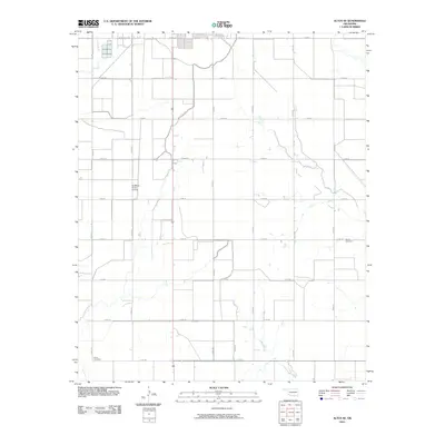 2010 Altus SE2010 Print · USGSJackson County land in the early 2000s shows a landscape of precision irrigation and rural infrastructure. Genealogists and local historians can locate Francis Cemetery, the Sheffield- Smith Airstrip, and the vital Altus Canal.
 - 2010 Map of Northside, 2010 Print
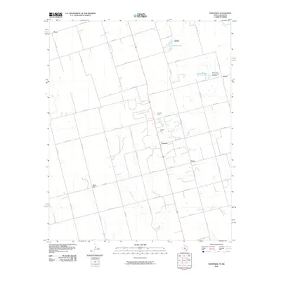 2010 Northside2010 Print · USGSWilbarger County at the turn of the decade reveals a landscape where ranching roads meet the petroleum industry. Researchers can trace family history at Bell Cemetery or locate old community centers like White City, Fargo, and the Fargo Oil Field.
 - 2010 Map of White Lake, 2010 Print
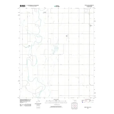 2010 White Lake2010 Print · USGSThe Oklahoma-Texas borderlands near Tipton appear in this recent survey, showing a landscape defined by the winding North Fork Red River and rural aviation. Researchers can trace land tracts along E1800 RD or locate local landmarks like White Lake and the Wilson 115 Dam.
 - 2010 Map of Odell, 2010 Print
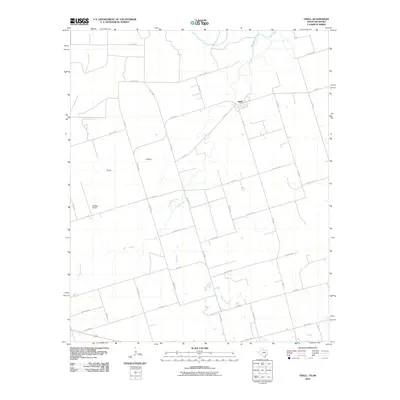 2010 Odell2010 Print · USGSWilbarger County at the turn of the twenty-first century reveals a landscape shaped by the Red River and rural ranching. Genealogists and local historians can trace family land ties near Odell, Moffett Ranch, and the winding banks of Wanderers Creek.
 - 2010 Map of Louis, 2010 Print
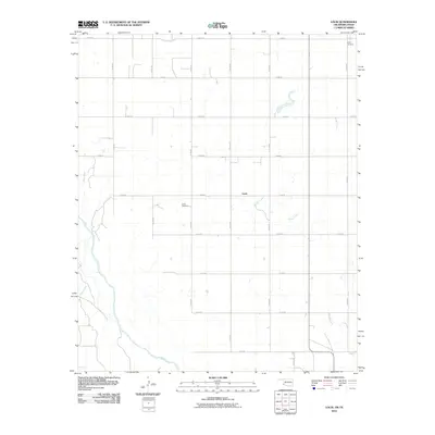 2010 Louis2010 Print · USGSHarmon County, Oklahoma, and the Texas border are captured here in the early twenty-first century, showing a landscape shaped by the Red River. Researchers can locate family sites near Louis Cemetery, Liberty Cemetery, and the small settlement of Louis.
 - 2010 Map of North Groesbeck, 2010 Print
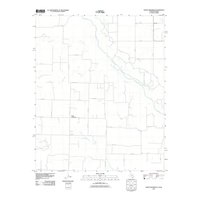 2010 North Groesbeck2010 Print · USGSThe Texas-Oklahoma borderlands come into focus in this recent survey of the rural plains. Genealogists and local historians can trace the roads and waterways connecting the settlements of North Groesbeck and Lincoln along the banks of the Red River.
 - 2010 Map of Eldorado, 2010 Print
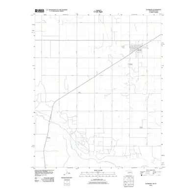 2010 Eldorado2010 Print · USGSThe Oklahoma-Texas borderlands are captured here in the decade before the centennial, centered on the agricultural hub of Eldorado. Genealogists can trace family roots through several local landmarks, including Antioch Cemetery, Durham Cemetery, and the riverfront area near Carnes.
 - 2010 Map of Quanah NE, 2010 Print
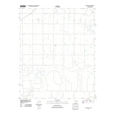 2010 Quanah NE2010 Print · USGSJackson County's rural borderlands are documented here at the start of the 2010s, showing the intersection of agricultural grids and the winding river. Genealogists can locate family landmarks like Odema Cemetery or trace the drainage of Mule Creek toward the Red River.
 - 2010 Map of Chillicothe, 2010 Print
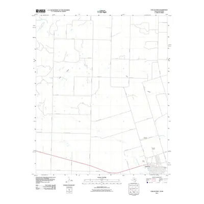 2010 Chillicothe2010 Print · USGSHardeman County at the turn of the decade reveals a landscape where the Red River border meets the established townsite of Chillicothe. Genealogists and historians can trace local landmarks like the Chillicothe Cemetery and the flight paths near Barnett Airport.
 - 2010 Map of Elmer, 2010 Print
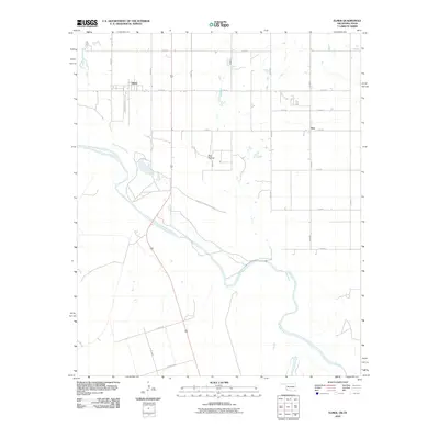 2010 Elmer2010 Print · USGSJackson County and the Texas borderlands meet at the confluence of the Salt Fork Red River and Red River in the early twenty-first century. Genealogists and local historians can trace the rural layouts of Elmer, Hess, and the geographic landmark at Red Hollow.
 - 2010 Map of Quanah East, 2010 Print
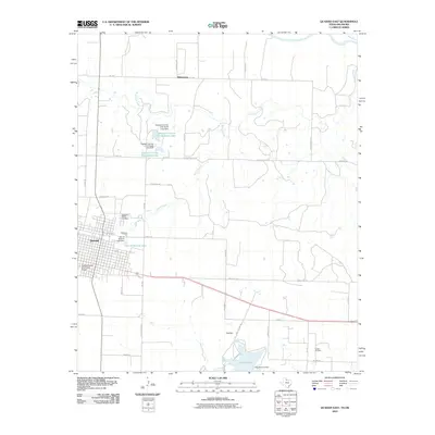 2010 Quanah East2010 Print · USGSQuanah and the surrounding Hardeman County ranchlands are documented here in the early twenty-first century. Genealogists and local historians can trace family-named roads and landmarks like the Quanah Acme and Pacific Depot, Memorial Park Cemetery, and the Conley Oil Field.
Showing maps 1-25 of 108
Top cities of Jackson County
- Altus historical maps
- Blair historical maps
- Olustee historical maps
- Eldorado historical maps
- East Duke historical maps
- Martha historical maps
See more
Frequently asked questions
- What are the different types of historical maps available for Jackson County?
- What is the oldest map of Jackson County?
- Where can I purchase historical maps of Jackson County for my home or office?
- Where can I download high-res historical maps of Jackson County?
- Are there historical topographic maps available for Jackson County?
- Is there historical aerial imagery available for Jackson County?
- Where are historical maps of Jackson County sourced from?