2000s (21st Century) Maps of McIntosh County, Oklahoma
Explore 105 historic maps of McIntosh County from the 2000s (21st Century). These maps offer a rare glimpse into what life looked like during the 2000s — showing old roads, neighborhoods, homes, and landmarks that have changed or disappeared over time.
Whether you're researching your family's past, planning a metal detecting trip, or studying how McIntosh County's landscape evolved across the 2000s, these high-resolution maps are a powerful tool for exploring the history of this region.
- Focus on a specific era: All maps on this page are from the 2000s, giving you a focused view of this time period.
- See what’s changed: Compare century-old streets, trails, and buildings to today's modern landscape using overlays and satellite layers.
- Research with precision: Use these maps for genealogy, historical research, land use analysis, or educational projects.
- View, download, or print: Maps are fully viewable online in high resolution, and can be downloaded or printed for your own records.
Start exploring McIntosh County's history through authentic maps from the 2000s. This is your window into the past.
McIntosh County, OK maps
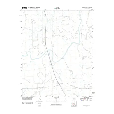
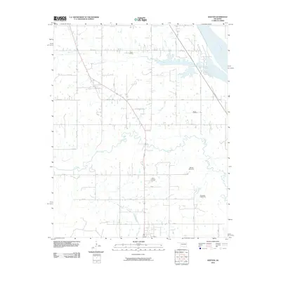
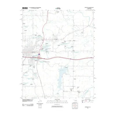
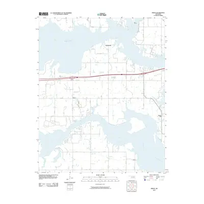
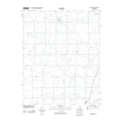
(105)- 2010 Map of Warner, 2010 Print
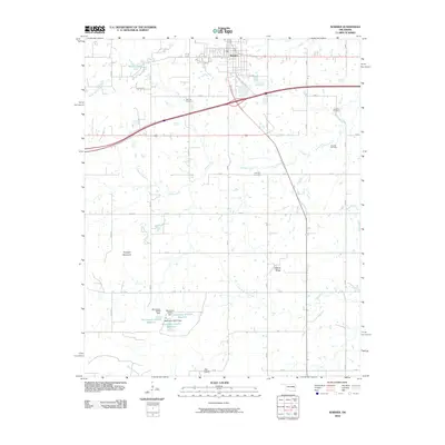 2010 Warner2010 Print · USGSCovers McIntosh County, including Warner, Muskogee County, and other nearby areas
 - 2010 Map of Oktaha, 2010 Print
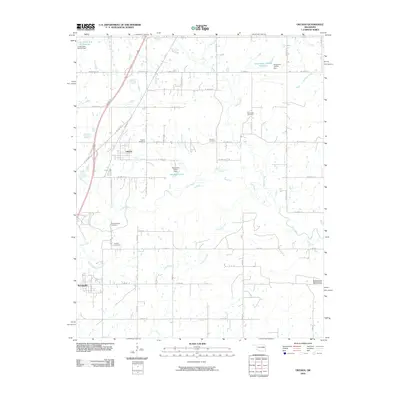 2010 Oktaha2010 Print · USGSCovers McIntosh County, including Oktaha, Rentiesville, and other nearby areas
 - 2010 Map of Raiford, 2010 Print
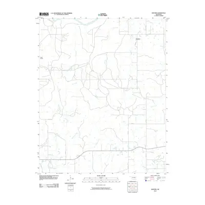 2010 Raiford2010 Print · USGSCovers McIntosh County, including Raiford, United States, and other nearby areas
 - 2010 Map of Texanna, 2010 Print
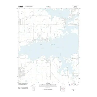 2010 Texanna2010 Print · USGSCovers McIntosh County, including Texanna, Longtown, and other nearby areas
 - 2010 Map of Henryetta SW, 2010 Print
 2010 Henryetta SW2010 Print · USGSCovers McIntosh County, including Hughes County, Okfuskee County, and other nearby areas
 - 2010 Map of Eufaula, 2010 Print
 2010 Eufaula2010 Print · USGSCovers McIntosh County, including Eufaula, Texanna, and other nearby areas
 - 2010 Map of Indianola, 2010 Print
 2010 Indianola2010 Print · USGSCovers McIntosh County, including Indianola, Pittsburg County, and other nearby areas
 - 2010 Map of Hanna, 2010 Print
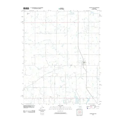
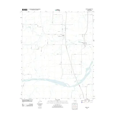
 2010 Hanna2010 Print · USGSCovers McIntosh County, including Hanna, Vernon, and other nearby areas
 - 2010 Map of Keefton, 2010 Print
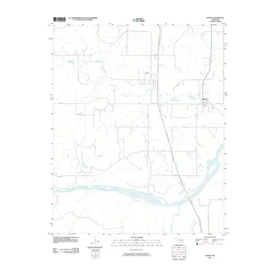
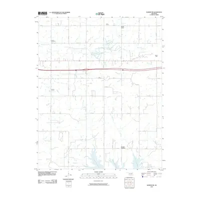
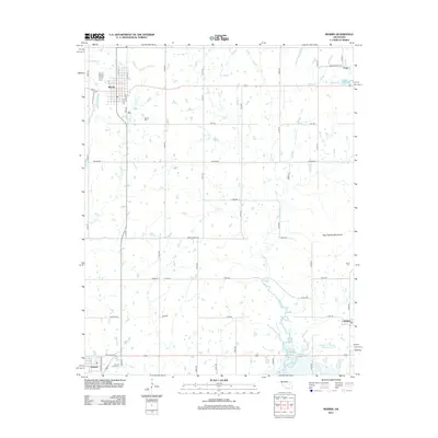
 2010 Keefton2010 Print · USGSCovers McIntosh County, including Warner, Keefeton, and other nearby areas
 - 2010 Map of Morris, 2010 Print
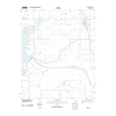
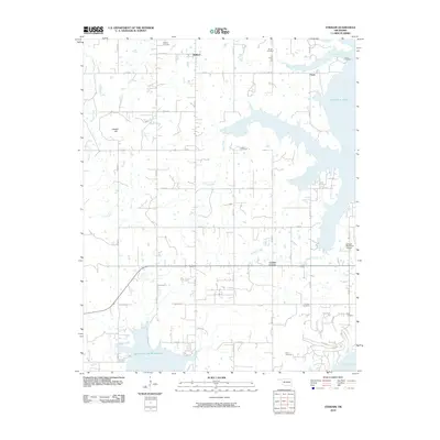
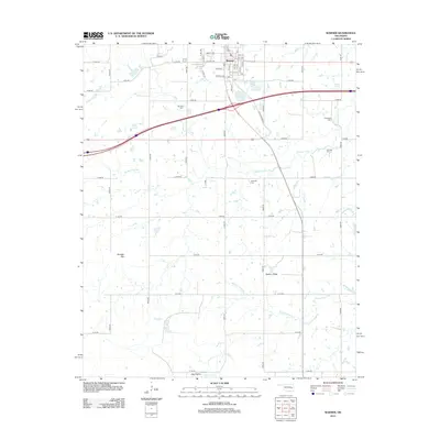
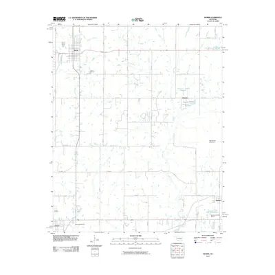 2010 Morris2010 Print · USGSCovers McIntosh County, including Morris, Grayson, and other nearby areas
 - 2010 Map of Canadian, 2010 Print
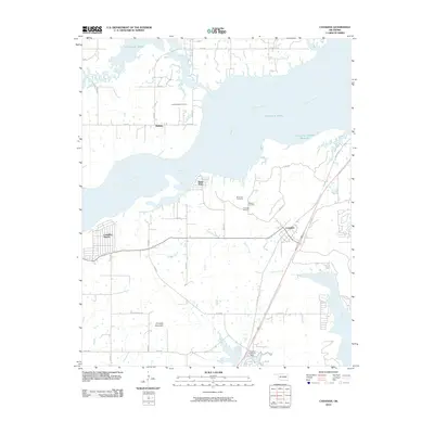 2010 Canadian2010 Print · USGSCovers McIntosh County, including Crowder, Canadian, and other nearby areas
 - 2010 Map of Hoffman, 2010 Print
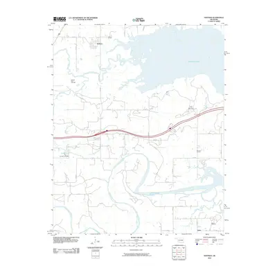 2010 Hoffman2010 Print · USGSCovers McIntosh County, including Hoffman, Grayson, and other nearby areas
 - 2010 Map of Henryetta, 2010 Print
 2010 Henryetta2010 Print · USGSCovers McIntosh County, including Henryetta, Dewar, and other nearby areas
 - 2010 Map of Porum, 2010 Print
 2010 Porum2010 Print · USGSCovers McIntosh County, including Porum, Whitefield, and other nearby areas
 - 2010 Map of Checotah, 2010 Print
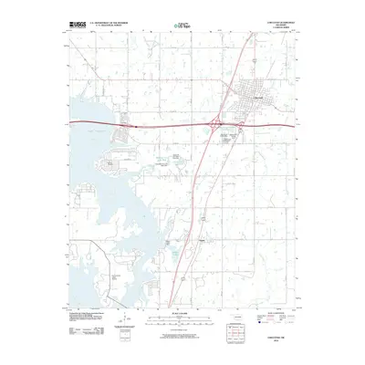 2010 Checotah2010 Print · USGSCovers McIntosh County, including Checotah, Eufaula, and other nearby areas
 - 2010 Map of Longtown, 2010 Print
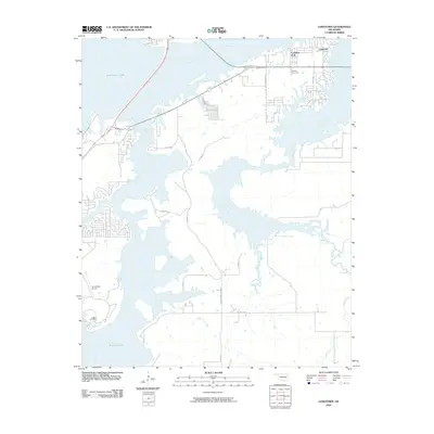 2010 Longtown2010 Print · USGSCovers McIntosh County, including Carlton Landing, Longtown, and other nearby areas
 - 2010 Map of Pierce, 2010 Print
 2010 Pierce2010 Print · USGSCovers McIntosh County, including Pierce, Brush Hill, and other nearby areas
 - 2010 Map of Council Hill, 2010 Print
 2010 Council Hill2010 Print · USGSCovers McIntosh County, including Council Hill, Hitchita, and other nearby areas
 - 2010 Map of Warner NW, 2010 Print
 2010 Warner NW2010 Print · USGSCovers McIntosh County, including Texanna, Shady Grove, and other nearby areas
 - 2010 Map of Stidham, 2010 Print
 2010 Stidham2010 Print · USGSCovers McIntosh County, including Eufaula, Stidham, and other nearby areas
 - 2010 Map of Wainwright, 2010 Print
 2010 Wainwright2010 Print · USGSCovers McIntosh County, including Checotah, Wainwright, and other nearby areas
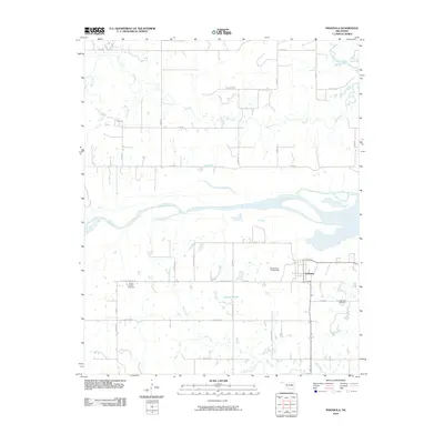
 - 2012 Map of Morris, 2012 Print
 2012 Morris2012 Print · USGSCovers McIntosh County, including Morris, Grayson, and other nearby areas
 - 2012 Map of Hanna, 2012 Print
 2012 Hanna2012 Print · USGSCovers McIntosh County, including Hanna, Vernon, and other nearby areas
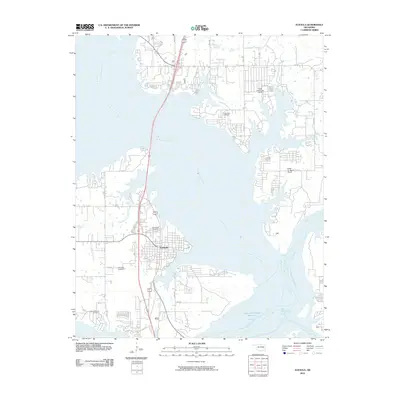
 - 2012 Map of Warner, 2012 Print
 2012 Warner2012 Print · USGSCovers McIntosh County, including Warner, Muskogee County, and other nearby areas
 - 2012 Map of Keefton, 2012 Print
 2012 Keefton2012 Print · USGSCovers McIntosh County, including Warner, Keefeton, and other nearby areas
Showing maps 1-25 of 105
Top cities of McIntosh County
- Checotah historical maps
- Eufaula historical maps
- Hanna historical maps
- Hitchita historical maps
- Rentiesville historical maps
- Stidham historical maps
Frequently asked questions
- What are the different types of historical maps available for McIntosh County?
- What is the oldest map of McIntosh County?
- Where can I purchase historical maps of McIntosh County for my home or office?
- Where can I download high-res historical maps of McIntosh County?
- Are there historical topographic maps available for McIntosh County?
- Is there historical aerial imagery available for McIntosh County?
- Where are historical maps of McIntosh County sourced from?