2010s Maps of McIntosh County, Oklahoma
Explore 84 historic maps of McIntosh County from the 2010s. These maps offer a rare glimpse into what life looked like during the 2010s — showing old roads, neighborhoods, homes, and landmarks that have changed or disappeared over time.
Whether you're researching your family's past, planning a metal detecting trip, or studying how McIntosh County's landscape evolved across the 2010s, these high-resolution maps are a powerful tool for exploring the history of this region.
- Focus on a specific era: All maps on this page are from the 2010s, giving you a focused view of this time period.
- See what’s changed: Compare century-old streets, trails, and buildings to today's modern landscape using overlays and satellite layers.
- Research with precision: Use these maps for genealogy, historical research, land use analysis, or educational projects.
- View, download, or print: Maps are fully viewable online in high resolution, and can be downloaded or printed for your own records.
Start exploring McIntosh County's history through authentic maps from the 2010s. This is your window into the past.
McIntosh County, OK maps
(84)- 2010 Map of Warner, 2010 Print
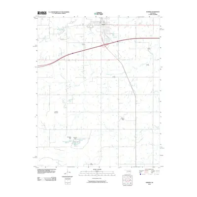 2010 Warner2010 Print · USGSWarner and the surrounding Oklahoma prairie are documented here during a period of steady rural development. Researchers can locate family landmarks such as Bennett Cemetery and Foreman Cemetery or trace the geography of Dunigan Mountain.
 - 2010 Map of Oktaha, 2010 Print
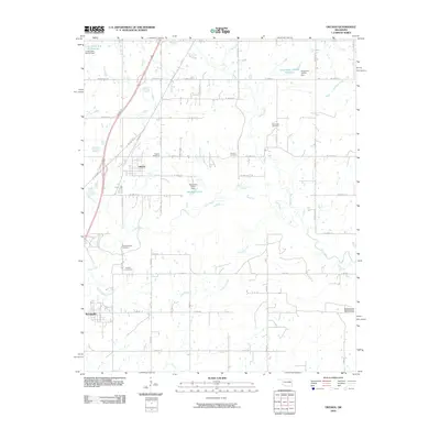 2010 Oktaha2010 Print · USGSThe community of Oktaha and the village of Rentiesville are documented here in the early twenty-first century. Genealogists can locate several burial sites, including Honey Springs Cemetery, Combs Cemetery, and Grayson Cemetery.
 - 2010 Map of Raiford, 2010 Print
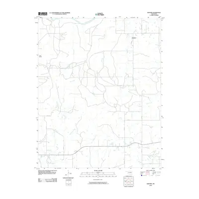 2010 Raiford2010 Print · USGSThe Oklahoma plains of McIntosh County are captured here in the early twenty-first century as a landscape of interconnected creek valleys and rural homesteads. Trace local family history and land use near Cedar Hollow or along the banks of Flat Rock Creek and Limbo Creek.
 - 2010 Map of Texanna, 2010 Print
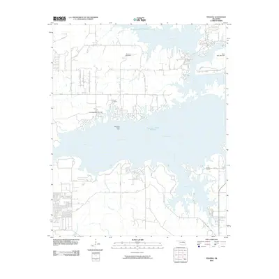 2010 Texanna2010 Print · USGSThe McIntosh County shoreline and the expansive waters of the Canadian River appear here in the early twenty-first century. Researchers can trace rural cemetery locations like Triplett Cemetery and Brooken Cemetery or explore the rugged topography of Texanna Mountain.
 - 2010 Map of Henryetta SW, 2010 Print
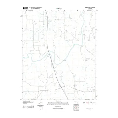 2010 Henryetta SW2010 Print · USGSMcIntosh County at the turn of the decade is defined by its rural river valleys and major turnpike corridors. Researchers can locate family landmarks like Red Hill Cemetery or trace the winding path of the North Canadian River past Rattlesnake Hollow.
 - 2010 Map of Eufaula, 2010 Print
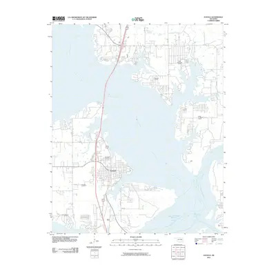 2010 Eufaula2010 Print · USGSThe Oklahoma lakefront at Eufaula is captured in this 2010 survey as the community wraps around the convergence of the North Canadian and Canadian Rivers. Genealogists and researchers can locate several area burial sites such as Fishertown Cemetery, Greenwood Cemetery, and Mcintosh Cemetery.
 - 2010 Map of Indianola, 2010 Print
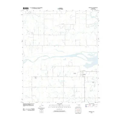 2010 Indianola2010 Print · USGSThis Pittsburg County landscape south of the Canadian River shows the rural character of eastern Oklahoma in the early twenty-first century. Genealogists and local historians can locate families in the Indianola Cemetery and the Choate Prairie Cemetery.
 - 2010 Map of Hanna, 2010 Print
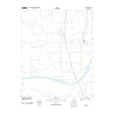 2010 Hanna2010 Print · USGSHanna and its surrounding rural landscapes are captured here at the start of the twenty-first century as the local economy balances agriculture and transit infrastructure. Genealogists and local historians can trace family locations near the Vernon Cemetery or follow the winding path of Mill Creek to its junction with the Canadian River.
 - 2010 Map of Keefton, 2010 Print
 2010 Keefton2010 Print · USGSWarner and the surrounding Muskogee County countryside appear in great detail during the early twenty-first century. Researchers can locate family roots at Warner Memorial Cemetery or trace the drainage of Dirty Creek past Warner Mountain.
 - 2010 Map of Morris, 2010 Print
 2010 Morris2010 Print · USGSOkmulgee County is captured here in the early twenty-first century, showing the established town of Morris and the rural community of Grayson. Genealogists and local historians can locate family sites at Morris Cemetery or trace the paths of Grave Creek and Moore Creek.
 - 2010 Map of Canadian, 2010 Print
 2010 Canadian2010 Print · USGSThe shorelines of Pittsburg County are captured here just after the turn of the millennium as residential communities grew around the lake. Researchers can locate several burial grounds including Masonic Cemetery and Red Oak Cemetery, or trace the old routes of Old Hwy 69 and Nale Rd.
 - 2010 Map of Hoffman, 2010 Print
 2010 Hoffman2010 Print · USGSEastern Oklahoma at the turn of the millennium shows a landscape defined by the expansive Eufaula Lake and the North Canadian River. Researchers can trace rural lineages through local landmarks like Hoffman Cemetery, Burney, and the heights of Tiger Mountain.
 - 2010 Map of Henryetta, 2010 Print
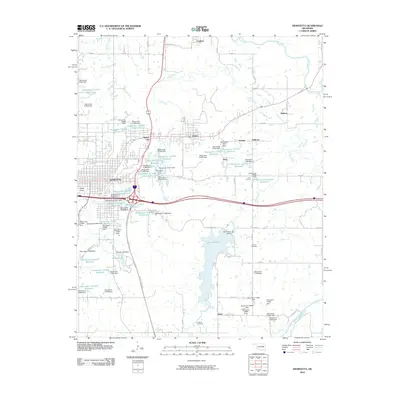 2010 Henryetta2010 Print · USGSHenryetta and its surrounding coal-country settlements are captured here in the early twenty-first century as the region’s industrial landscape evolved. Genealogists and historians can locate Salem Cemetery, the town of Dewar, and landmarks like Bald Knob.
 - 2010 Map of Porum, 2010 Print
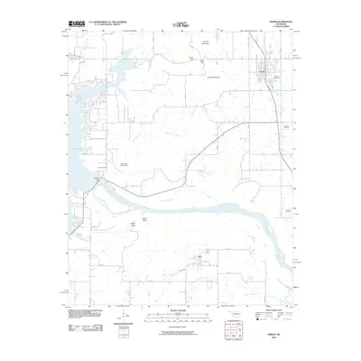 2010 Porum2010 Print · USGSOklahoma's high ridges and river valleys are captured here in the early twenty-first century as they meet the eastern shores of a massive reservoir. Trace family history at Hi Early Cemetery or explore the landscape around Porum and Hoyt.
 - 2010 Map of Checotah, 2010 Print
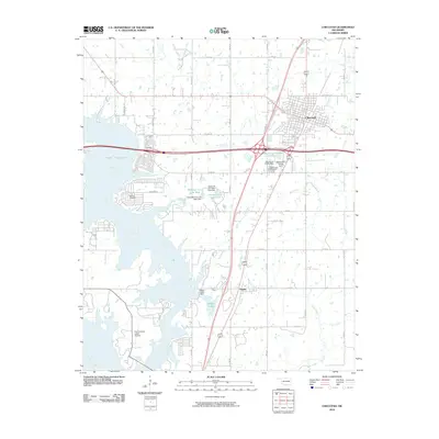 2010 Checotah2010 Print · USGSOklahoma's McIntosh County at the turn of the 21st century showcases the intersection of the prairie plains with the sprawling waters of Lake Eufaula. Genealogists and local historians can trace the area around Checotah and Onapa, locating landmarks like Richard Cemetery and the Fountainhead Lodge Airpark.
 - 2010 Map of Longtown, 2010 Print
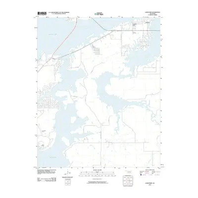 2010 Longtown2010 Print · USGSIn the early twenty-first century, this area of Pittsburg County centers on the extensive shoreline of Eufaula Lake. Researchers can trace local heritage at Bower Rd and Bower Cemetery or explore the settlements of Longtown and Canadian Fork.
 - 2010 Map of Pierce, 2010 Print
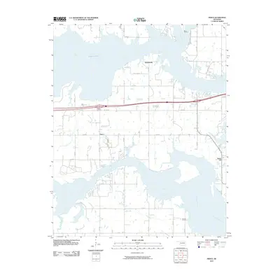 2010 Pierce2010 Print · USGSMcIntosh County’s shoreline and rural prairie are captured here in the early twenty-first century as the waters of Lake Eufula reach into the interior. Researchers can locate family landmarks such as Pierce Cemetery, Big Arbor Cemetery, and the community of Richardsville.
 - 2010 Map of Council Hill, 2010 Print
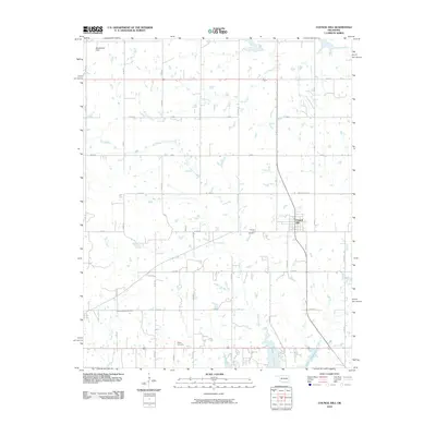 2010 Council Hill2010 Print · USGSCouncil Hill and the surrounding Oklahoma prairie are captured here at the start of the decade. Genealogists and local historians can trace family locations near the Council Hill Cemetery, Ridley Cemetery, and the northern banks of Lake Eufaula.
 - 2010 Map of Warner NW, 2010 Print
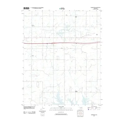 2010 Warner NW2010 Print · USGSNortheastern Oklahoma at the turn of the 21st century reveals a landscape shaped by reservoir waters and rural homesteads. Genealogists and local historians can trace family roots at Vandier Cemetery and McNaulty Cemetery or explore the drainage basins of Mud Creek.
 - 2010 Map of Stidham, 2010 Print
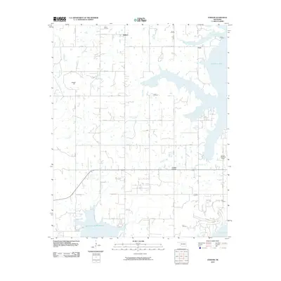 2010 Stidham2010 Print · USGSMcIntosh County remains a landscape of quiet rural settlements and vast reservoir waters in this recent survey. Local researchers can trace family histories through numerous burial sites like Fame Cemetery and Scott Cemetery or locate the small crossroads at Stidham.
 - 2010 Map of Wainwright, 2010 Print
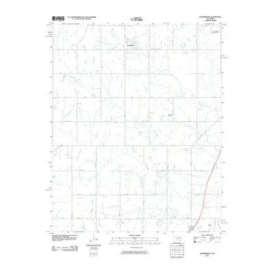 2010 Wainwright2010 Print · USGSThe rural landscape around Wainwright is captured here in the early twenty-first century, showcasing a region defined by agricultural grids and creek drainage. Researchers can locate the Middleton Cemetery and trace local waterways like Anderson Creek and Elk Creek.
 - 2012 Map of Morris, 2012 Print
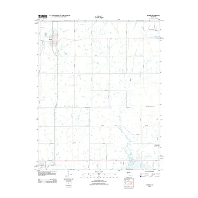 2012 Morris2012 Print · USGSOkmulgee County's prairie and creek systems are documented here in the early 2010s, centered on the community of Morris. Genealogists can trace several significant burial grounds including Indian Cem and Sacred Heart Cem near Grayson.
 - 2012 Map of Hanna, 2012 Print
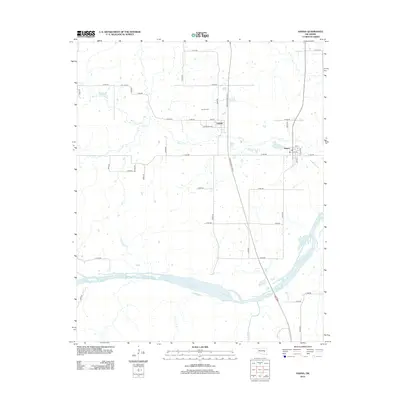 2012 Hanna2012 Print · USGSHanna and the surrounding Oklahoma prairie are captured here in the early twenty-first century as the Indian Nation Turnpike cuts through the rural landscape. Genealogists can locate the Vernon Cem and trace the paths of Mill Cr and the Canadian River.
 - 2012 Map of Warner, 2012 Print
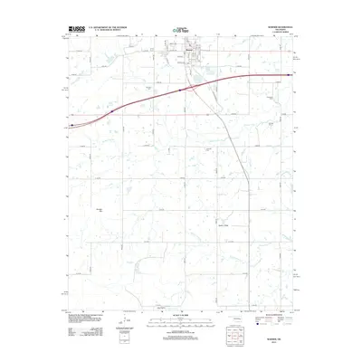 2012 Warner2012 Print · USGSThe town of Warner is documented here as a modern educational and residential hub during the early twenty-first century. Researchers can trace local heritage through numerous family burial grounds like Howland Cem and landmarks such as Dunigan Mtn.
 - 2012 Map of Keefton, 2012 Print
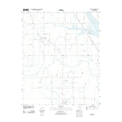 2012 Keefton2012 Print · USGSWarner and the surrounding Oklahoma prairie appear in high detail during the early twenty-first century. Genealogists and local historians can trace family locations near Keefton, McLain, and Warner Memorial Cem or follow the waters of Dirty Cr.
Showing maps 1-25 of 84
Top cities of McIntosh County
- Checotah historical maps
- Eufaula historical maps
- Hanna historical maps
- Hitchita historical maps
- Rentiesville historical maps
- Stidham historical maps
Frequently asked questions
- What are the different types of historical maps available for McIntosh County?
- What is the oldest map of McIntosh County?
- Where can I purchase historical maps of McIntosh County for my home or office?
- Where can I download high-res historical maps of McIntosh County?
- Are there historical topographic maps available for McIntosh County?
- Is there historical aerial imagery available for McIntosh County?
- Where are historical maps of McIntosh County sourced from?