2000s (21st Century) Maps of Sherman County, Oregon
Explore 155 historic maps of Sherman County from the 2000s (21st Century). These maps offer a rare glimpse into what life looked like during the 2000s — showing old roads, neighborhoods, homes, and landmarks that have changed or disappeared over time.
Whether you're researching your family's past, planning a metal detecting trip, or studying how Sherman County's landscape evolved across the 2000s, these high-resolution maps are a powerful tool for exploring the history of this region.
- Focus on a specific era: All maps on this page are from the 2000s, giving you a focused view of this time period.
- See what’s changed: Compare century-old streets, trails, and buildings to today's modern landscape using overlays and satellite layers.
- Research with precision: Use these maps for genealogy, historical research, land use analysis, or educational projects.
- View, download, or print: Maps are fully viewable online in high resolution, and can be downloaded or printed for your own records.
Start exploring Sherman County's history through authentic maps from the 2000s. This is your window into the past.
Sherman County, OR maps
(155)- 2011 Map of Biggs Junction, 2011 Print
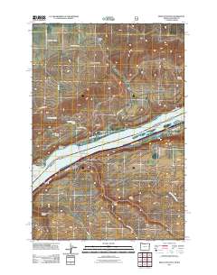 2011 Biggs Junction2011 Print · USGSThe Columbia River Gorge region comes into focus during the early twenty-first century, highlighting the vital transportation corridors near the Oregon-Washington border. Researchers can trace the infrastructure of Biggs Junction and the Sam Hill Memorial Bridge or locate landmarks like Maryhill and Spanish Hollow.
 - 2011 Map of Emerson, 2011 Print
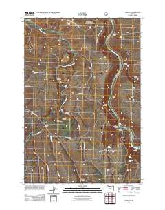 2011 Emerson2011 Print · USGSWasco County’s high country is captured here during the early twenty-first century, showing a landscape defined by ranching life and the deep canyon of the Deschutes River. Genealogists can locate old rural landmarks like Douglas Hollow School, the settlement of Fairbanks, and the crossing at Free Bridge.
 - 2011 Map of Wishram, 2011 Print
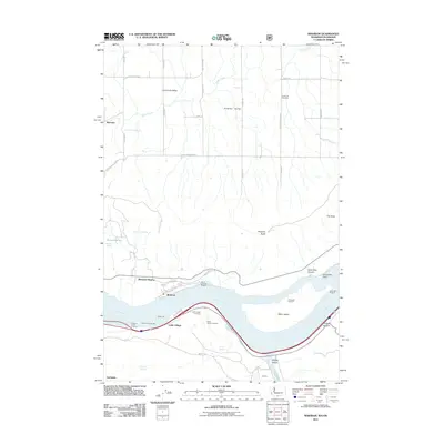 2011 Wishram2011 Print · USGSThe Columbia River corridor remains a vital transit and cultural hub in the early twenty-first century. Genealogists and historians can trace the proximity of Celilo Village to the Celilo Indian Cemetery, or locate rural landmarks like Centerville Cemetery and Warwick.
 - 2011 Map of Sherars Bridge, 2011 Print
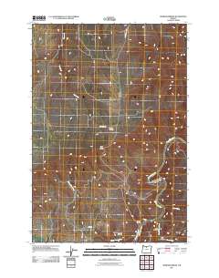 2011 Sherars Bridge2011 Print · USGSIn the high desert of Wasco County during the early twenty-first century, the canyon of the Deschutes River remains the central geographic feature. Local historians can trace the vicinity of Sherar, find the Warner Cemetery on the ridge, and locate the historic crossing at Sherars Bridge.
 - 2011 Map of Maupin, 2011 Print
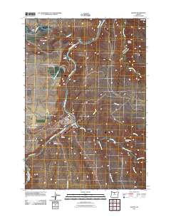 2011 Maupin2011 Print · USGSMaupin and the Deschutes River canyon are captured here at the start of the twenty-first century, showing the town's riverside layout and neighboring settlements. Genealogists and local historians can trace family locations near East Maupin, Cambrai, and the Maupin Post Office.
 - 2011 Map of Quinton, 2011 Print
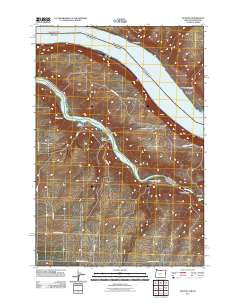 2011 Quinton2011 Print · USGSThe confluence of the Columbia and John Day Rivers is captured here in the early twenty-first century. Researchers can trace the drainages of Box Canyon, the settlement at Goodnoe, and the historic path of Emigrant Springs Rd.
 - 2011 Map of Indian Cove, 2011 Print
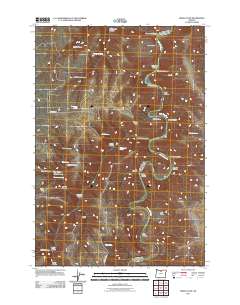 2011 Indian Cove2011 Print · USGSThe John Day River meanders through Sherman County in the early twenty-first century, revealing a landscape of steep basalt canyons and scattered springs. Researchers can trace landforms like Lon Eakin Flat, Peddicord Point, and historical water sources such as Lucy Payne Spring.
 - 2011 Map of Kent, 2011 Print
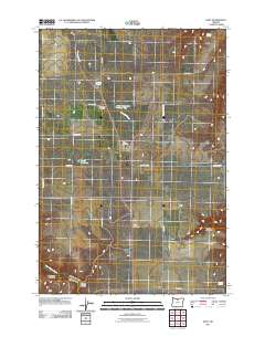 2011 Kent2011 Print · USGSKent and the surrounding Sherman County uplands are documented here during the early twenty-first century. Genealogists can trace family roots through the Kent IOOF Cemetery, Wilcox Cemetery, and the isolated Daugherty Family Cemetery.
 - 2011 Map of Grass Valley, 2011 Print
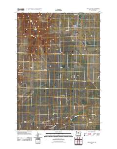 2011 Grass Valley2011 Print · USGSGrass Valley and the surrounding Sherman County uplands are documented here in the early twenty-first century. Genealogists and local historians can locate established landmarks like Michigan Cemetery and family-named junctions such as Rickmans Corner and Hodges Corner.
 - 2011 Map of Chimney Springs, 2011 Print
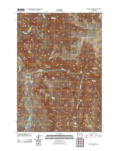 2011 Chimney Springs2011 Print · USGSWasco County's high plateaus and the deep winding path of the John Day River are captured in this early twenty-first-century survey. You can trace family-named landmarks and essential water sources like Buckhorn Ranch, Chimney Springs, and Pete Enyart Canyon.
 - 2011 Map of Rufus, 2011 Print
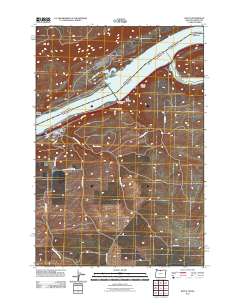 2011 Rufus2011 Print · USGSThe Oregon riverfront town of Rufus is documented here during the early twenty-first century as it sits between the Columbia and the high plateau. Genealogists and researchers can trace local landmarks like the Rufus Post Office and the winding course of China Hollow Creek through Hellroaring Canyon.
 - 2011 Map of Devils Backbone, 2011 Print
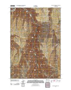 2011 Devils Backbone2011 Print · USGSHigh plateau country in Sherman County is revealed in this early twenty-first century study of the canyons and ridges east of the John Day River. Genealogists and local historians can locate Potters Cemetery and trace the paths of Hay Canyon Rd and Mikkalo Ln.
 - 2011 Map of Locust Grove, 2011 Print
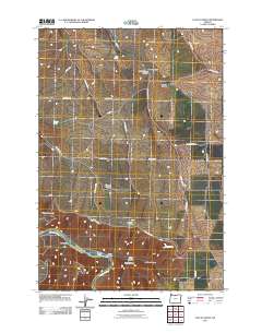 2011 Locust Grove2011 Print · USGSWasco County’s high plateau and the deep canyon of the Deschutes River are captured here as they appeared in the early twenty-first century. Genealogists and local historians can trace family-named routes like McDermid Ln and Van Gilder Rd or locate the namesake settlement of Locust Grove.
 - 2011 Map of Horseshoe Bend, 2011 Print
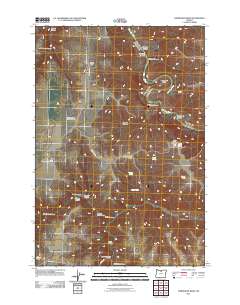 2011 Horseshoe Bend2011 Print · USGSSherman County ranch lands meet the winding canyon of the John Day River in this 2011 topographic record. Genealogists and historians can trace family-named landmarks like the George Wilson Ranch Airstrip and Guyton Canyon.
 - 2011 Map of Bronx Canyon, 2011 Print
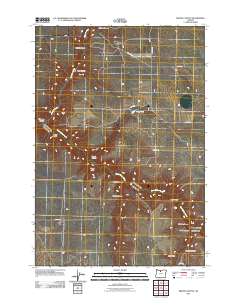 2011 Bronx Canyon2011 Print · USGSWasco County’s high-plateau country is documented here in the early twenty-first century, showing a landscape defined by deep draws and ranch roads. Genealogists and local historians can trace family-named features like Rogers Canyon, Bauman Draw, and Karlen Draw.
 - 2011 Map of Moro, 2011 Print
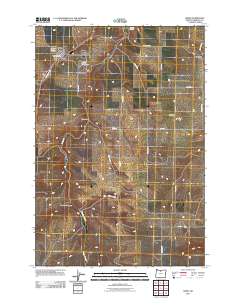 2011 Moro2011 Print · USGSSherman County agriculture and rural life take center stage here in the early twenty-first century. Genealogists and local researchers can trace the roads to the American Legion Cemetery, the Moro Post Office, and the settlement of Monkland.
 - 2011 Map of Sundale NW, 2011 Print
 2011 Sundale NW2011 Print · USGSThe Columbia River gorge at the turn of the twenty-first century reveals a landscape defined by dramatic basalt canyons and river-town life. Trace the geography of the shoreline at Bates and Quinook or follow the path of the John Day River to Tumwater Falls.
 - 2011 Map of Sinamox, 2011 Print
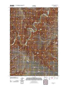 2011 Sinamox2011 Print · USGSWasco County landscape at the start of the 2010s shows a terrain shaped by the mighty Deschutes River. Genealogists and researchers can trace rural routes like Davis Ln and Brown Rd past landmarks such as Sinamox and Butlers Corner.
 - 2011 Map of Wasco, 2011 Print
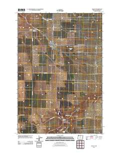 2011 Wasco2011 Print · USGSSherman County wheat country is captured here in the early 21st century, centered on the historic crossroads of the plateau. Researchers can trace local lineage through the Sunrise Cemetery and De Moss Cemetery or locate landmarks like De Moss Springs.
 - 2011 Map of Esau Canyon, 2011 Print
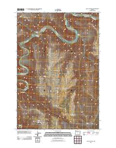 2011 Esau Canyon2011 Print · USGSSherman County ranchlands meet the winding river canyons of north-central Oregon in the early 2000s. Genealogists and local historians can trace family-named landmarks like Kaseburg Ranch or locate remote sites including Ajax Airstrip and Cottonwood Bridge.
 - 2011 Map of Bath Canyon, 2011 Print
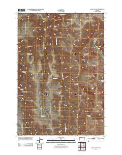 2011 Bath Canyon2011 Print · USGSWasco County's high desert country is shown here in the early twenty-first century, dominated by canyon drainages and basalt ridges. Researchers can trace the winding John Day River or locate remote landmarks like Butte Creek Pass and Rattlesnake Spring.
 - 2011 Map of Rosebush, 2011 Print
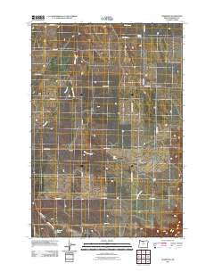 2011 Rosebush2011 Print · USGSSherman County in the early twenty-first century remains a landscape of sprawling ranchlands and quiet crossroads like Rosebush. Researchers can trace old property boundaries via family-named routes like Stark Rd and locate vital water sources like Hill Spring.
 - 2011 Map of Summit Ridge, 2011 Print
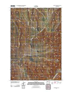 2011 Summit Ridge2011 Print · USGSWasco County’s high plateau country is documented here in the early twenty-first century, showing the intersection of ridge-top agriculture and river geography. Researchers can trace the routes of Summit Ridge Mkt Rd and Wrentham Market Rd as they lead toward the Deschutes River.
 - 2011 Map of Harmony, 2011 Print
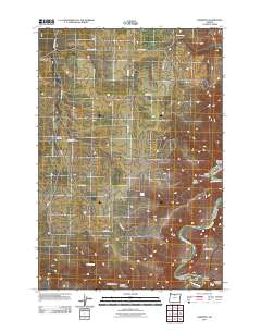 2011 Harmony2011 Print · USGSSherman County at the turn of the decade reveals a landscape of high plateaus deeply incised by the John Day River. Genealogists and local historians can trace the rural road networks connecting Monkland and Harmony to canyons like Ferry Canyon and Bruckert Canyon.
 - 2011 Map of Turner Butte, 2011 Print
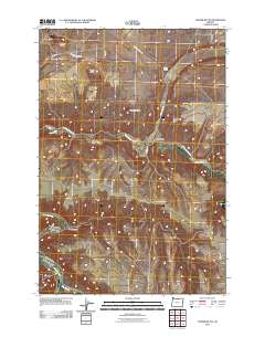 2011 Turner Butte2011 Print · USGSSherman County's high desert plateaus are mapped here in the early twenty-first century, showing a remote landscape shaped by the John Day River. Local historians can trace early ranching routes and water sources like Cedar Spring or the volcanic heights of Turner Butte.
Showing maps 1-25 of 155
Top cities of Sherman County
Frequently asked questions
- What are the different types of historical maps available for Sherman County?
- What is the oldest map of Sherman County?
- Where can I purchase historical maps of Sherman County for my home or office?
- Where can I download high-res historical maps of Sherman County?
- Are there historical topographic maps available for Sherman County?
- Is there historical aerial imagery available for Sherman County?
- Where are historical maps of Sherman County sourced from?