2020s Maps of Sherman County, Oregon
Explore 62 historic maps of Sherman County from the 2020s. These maps offer a rare glimpse into what life looked like during the 2020s — showing old roads, neighborhoods, homes, and landmarks that have changed or disappeared over time.
Whether you're researching your family's past, planning a metal detecting trip, or studying how Sherman County's landscape evolved across the 2020s, these high-resolution maps are a powerful tool for exploring the history of this region.
- Focus on a specific era: All maps on this page are from the 2020s, giving you a focused view of this time period.
- See what’s changed: Compare century-old streets, trails, and buildings to today's modern landscape using overlays and satellite layers.
- Research with precision: Use these maps for genealogy, historical research, land use analysis, or educational projects.
- View, download, or print: Maps are fully viewable online in high resolution, and can be downloaded or printed for your own records.
Start exploring Sherman County's history through authentic maps from the 2020s. This is your window into the past.
Sherman County, OR maps
(62)- 2020 Map of Wishram, 2020 Print
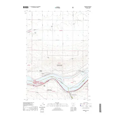 2020 Wishram2020 Print · USGSWishram and the Columbia River gorge are captured here in the 2020s, showing the vital river-and-rail corridor between Washington and Oregon. Researchers can trace the layout of Celilo Village, identify family plots at Centerville Cem, and locate Wishram Heights.
 - 2020 Map of Maupin, 2020 Print
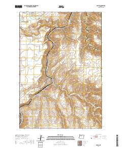 2020 Maupin2020 Print · USGSWasco County’s canyon country is documented here as it appeared in 2020, centered on the river-split town of Maupin. Researchers can trace the steep terrain from Juniper Flat down to the water, locating White River Falls and the crossings along Shearer's Bridge Rd.
 - 2020 Map of Dead Dog Canyon, 2020 Print
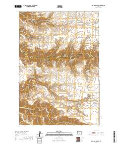 2020 Dead Dog Canyon2020 Print · USGSWasco and Sherman Counties meet along the deep breaks of Buck Hollow Cr in this recent survey of Central Oregon's high desert. Genealogists and local historians can locate the Buzan Cem and trace long-standing routes like Bakeoven Rd through the complex terrain of Johnson Ridge.
 - 2020 Map of Quinton, 2020 Print
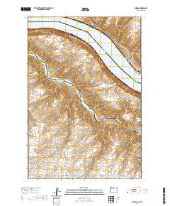 2020 Quinton2020 Print · USGSThe Columbia River gorge at the Oregon-Washington border is captured here in the modern era, showing where the John Day River flows into Lake Umatilla. Researchers can trace old transportation routes and canyon settlements from Goodnoe and Quinton to the deep recesses of Emigrant Canyon.
 - 2020 Map of Erskine, 2020 Print
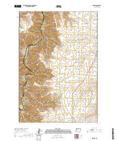 2020 Erskine2020 Print · USGSWasco County’s high plateau and canyon country are captured in this 2020 survey, showing the landscape as it remains shaped by ranching and the Deschutes River. You can locate the Independent Order of Odd Fellows Cem and trace the deep reaches of Sixteen Canyon and Macks Canyon.
 - 2020 Map of Esau Canyon, 2020 Print
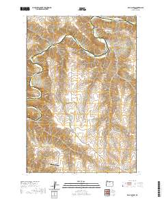 2020 Esau Canyon2020 Print · USGSThe high desert breaks of the John Day River are captured in the modern era, showing the rugged divide between Sherman and Gilliam Counties. Researchers can trace remote infrastructure and river access points like Ajax Airport, Big Eddy, and the Cottonwood Bridge.
 - 2020 Map of Summit Ridge, 2020 Print
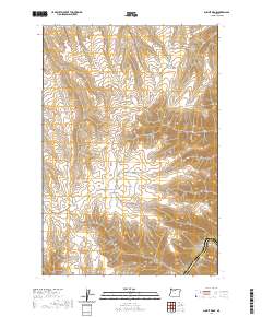 2020 Summit Ridge2020 Print · USGSWasco County high country and the deep canyon of the Deschutes River are detailed in this recent survey. Researchers can trace the network of agricultural routes and terrain features including Summit Ridge, Jameson Canyon, and Bull Run Canyon.
 - 2020 Map of Kent, 2020 Print
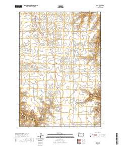 2020 Kent2020 Print · USGSThe high plateau of Sherman County at Kent is revealed in this modern survey of Oregon's canyon-carved wheat country. Genealogists and local historians can trace family ties at the Kent Ioof Cem, Wilcox Cem, and Daugherty Family Cem, or follow the winding paths of Finnegan Canyon and Bronx Canyon.
 - 2020 Map of Rufus, 2020 Print
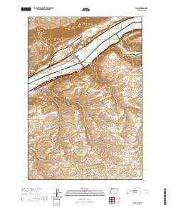 2020 Rufus2020 Print · USGSThe Columbia River corridor near Rufus appears in high detail during this contemporary era of dam-regulated waterways. Researchers can trace the rugged drainage of Hellroaring Canyon, locate family-named landmarks like Gerking Canyon, and see the confluence at The Nook.
 - 2020 Map of Sundale NW, 2020 Print
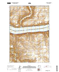 2020 Sundale NW2020 Print · USGSThe Columbia River frontier of Washington and Oregon is captured here in the contemporary era. Researchers can trace land patterns across Lake Umatilla and locate specific sites like the settlement of Bates or the remote enclave at The Nook.
 - 2020 Map of Wasco, 2020 Print
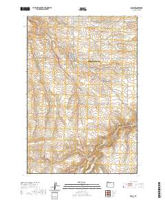 2020 Wasco2020 Print · USGSSherman County agriculture and transportation are centered on Wasco in this 2020 record of the high plateau. Genealogists and local historians can locate early burial grounds at Wasco Methodist Cem and Sunrise Cem, or trace the winding course of Spanish Hollow.
 - 2020 Map of Emerson, 2020 Print
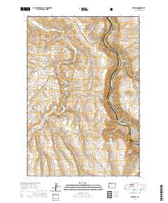 2020 Emerson2020 Print · USGSWasco County’s canyon country and the small settlement of Emerson are documented here as they appeared in 2020. Local researchers can trace the rugged topography of the Deschutes Wild and Scenic River and find family-named landmarks like Standard Hollow and Gordon Ridge.
 - 2020 Map of Bronx Canyon, 2020 Print
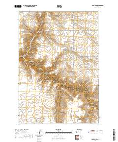 2020 Bronx Canyon2020 Print · USGSThe high desert breaks of Wasco and Sherman counties are captured in this modern survey of the complex drainages surrounding Buck Hollow Cr. Researchers can trace the rugged topography of Bronx Canyon, Dead Dog Canyon, and family-named landmarks like Grimes Canyon.
 - 2020 Map of Biggs Junction, 2020 Print
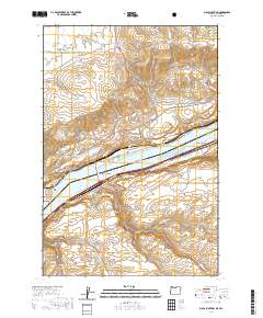 2020 Biggs Junction2020 Print · USGSThe Columbia River gorge at the turn of the decade serves as a vital transportation corridor linking Oregon and Washington. Researchers can trace the legacy of the Hill family and regional commerce through landmarks like the Sam Hill Memorial Bridge, Maryhill, and Biggs Junction.
 - 2020 Map of Sherars Bridge, 2020 Print
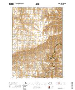 2020 Sherars Bridge2020 Print · USGSThe high plateau of Wasco County meets the Deschutes River canyon in this recent 2020 topographic record. Historians and researchers can locate the Warner Cem and trace early routes like Old Tygh Mkt Rd near the landmark Sherars Bridge.
 - 2020 Map of Macken Canyon, 2020 Print
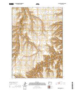 2020 Macken Canyon2020 Print · USGSThe high-desert plateau south of the Columbia River comes to life in this recent study of the Shaniko vicinity. Researchers can trace land use patterns across Wasco County and find landmarks like Kelsey Spring and Shaniko Ranch Airport.
 - 2020 Map of Indian Cove, 2020 Print
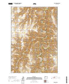 2020 Indian Cove2020 Print · USGSSherman County high desert terrain meets the winding John Day River in this modern topographical study. Local history researchers can trace family-named landmarks and water sources like Lon Eakin Flat, Peddicord Point, and Lucy Payne Spring.
 - 2020 Map of McDonald, 2020 Print
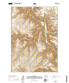 2020 McDonald2020 Print · USGSSherman County's high desert landscape is captured here along the John Day River at a time when remote ranching and river access defined local life. Genealogists and researchers can trace historical river crossings and family-named routes like McDonalds Ferry Ln, Starvation Point, and McDonald.
 - 2020 Map of Turner Butte, 2020 Print
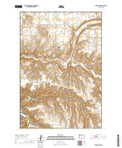 2020 Turner Butte2020 Print · USGSThe high desert landscape of Sherman and Gilliam counties comes to life in this modern survey of the Columbia Plateau. Researchers can trace the rugged drainages of Rock Creek and Scott Canyon, or locate family-named landmarks like Turner Butte and Butcher Butte.
 - 2020 Map of Bath Canyon, 2020 Print
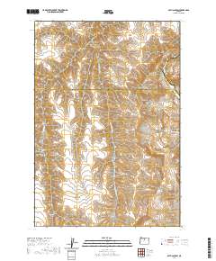 2020 Bath Canyon2020 Print · USGSWasco and Sherman counties meet along the high desert canyons in this recent survey. Local historians can trace water sources like Rattlesnake Spring and landmarks such as Butte Creek Pass near the winding John Day River.
 - 2020 Map of Horseshoe Bend, 2020 Print
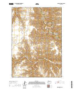 2020 Horseshoe Bend2020 Print · USGSThe John Day River canyon dominates this Sherman County landscape in the 2020s, showing the high-desert terrain near the Gilliam County line. Researchers can trace the winding river corridor past Horseshoe Bend and locate remote water sources like Hatley Springs and Horse Pasture Spring.
 - 2020 Map of Rosebush, 2020 Print
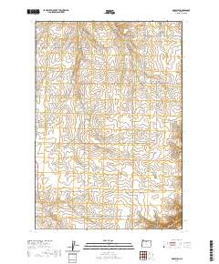 2020 Rosebush2020 Print · USGSSherman County's high plateau and canyon country are shown here in the contemporary era, illustrating the enduring layout of rural ranching life. Genealogists and local historians can trace family-named sites like Borstel Pond, Rutledge, and the deep reaches of Dunlap Canyon.
 - 2020 Map of Grass Valley, 2020 Print
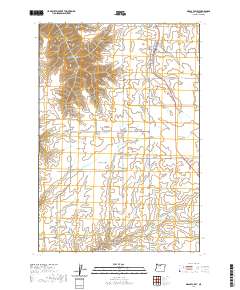 2020 Grass Valley2020 Print · USGSSherman County agriculture and canyon terrain are documented here in the early twenty-first century. Genealogists and local historians can trace family land via Michigan Cem or follow the deep contours of Grass Valley Canyon and French Canyon.
 - 2020 Map of Sinamox, 2020 Print
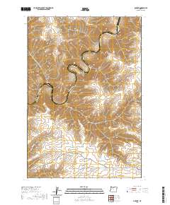 2020 Sinamox2020 Print · USGSThe Deschutes River divides Wasco and Sherman counties in this recent survey of Oregon's canyon-carved interior. Geologists and local history researchers can trace the deep meanders around Cedar Island and the complex drainages of Tygh Ridge and Box Elder Canyon.
 - 2020 Map of Harmony, 2020 Print
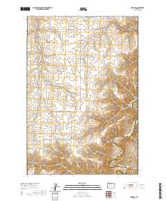 2020 Harmony2020 Print · USGSSherman County land use and river geography are documented here during the early twenty-first century. Genealogists and historians can trace the deep canyons and springs surrounding Harmony, including the John Day River and the prominent meander at The Gooseneck.
Showing maps 1-25 of 62
Top cities of Sherman County
Frequently asked questions
- What are the different types of historical maps available for Sherman County?
- What is the oldest map of Sherman County?
- Where can I purchase historical maps of Sherman County for my home or office?
- Where can I download high-res historical maps of Sherman County?
- Are there historical topographic maps available for Sherman County?
- Is there historical aerial imagery available for Sherman County?
- Where are historical maps of Sherman County sourced from?