2010s Maps of Meade County, South Dakota
Explore 237 historic maps of Meade County from the 2010s. These maps offer a rare glimpse into what life looked like during the 2010s — showing old roads, neighborhoods, homes, and landmarks that have changed or disappeared over time.
Whether you're researching your family's past, planning a metal detecting trip, or studying how Meade County's landscape evolved across the 2010s, these high-resolution maps are a powerful tool for exploring the history of this region.
- Focus on a specific era: All maps on this page are from the 2010s, giving you a focused view of this time period.
- See what’s changed: Compare century-old streets, trails, and buildings to today's modern landscape using overlays and satellite layers.
- Research with precision: Use these maps for genealogy, historical research, land use analysis, or educational projects.
- View, download, or print: Maps are fully viewable online in high resolution, and can be downloaded or printed for your own records.
Start exploring Meade County's history through authentic maps from the 2010s. This is your window into the past.
Meade County, SD maps
(237)- 2012 Map of Bend, 2012 Print
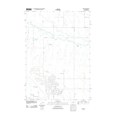 2012 Bend2012 Print · USGSPennington County’s landscape in the early twenty-first century is defined by the massive footprint of Ellsworth Air Force Base and the rural reaches of Bend. Genealogists and historians can trace suburban expansion near Liberty Blvd or the remote ranching lands along Elk Cr.
 - 2012 Map of Fort Meade SE, 2012 Print
 2012 Fort Meade SE2012 Print · USGSMeade County, South Dakota, is captured here in the early twenty-first century as a landscape of rural roads and prairie creeks. Researchers can trace the courses of Pleasant Valley Cr and Morris Cr or locate specific holdings near Tilford Rd and Middle Alkali Rd.
 - 2012 Map of Fort Meade NE, 2012 Print
 2012 Fort Meade NE2012 Print · USGSMeade County at the start of the 2010s reveals a vast prairie landscape defined by the prominent Bear Butte and its surrounding drainages. Researchers can trace rural property access and water rights along Spring Cr, Alkali Cr, and Alkali Rd.
 - 2012 Map of Vale, 2012 Print
 2012 Vale2012 Print · USGSVale and the surrounding Butte County countryside appear in this early twenty-first century survey, revealing a landscape defined by irrigation and early burial grounds. Genealogists and local historians can trace family locations near Old Vale Cem, Vale Cem, and the waters of Ninemile Cr.
 - 2012 Map of Vale SE, 2012 Print
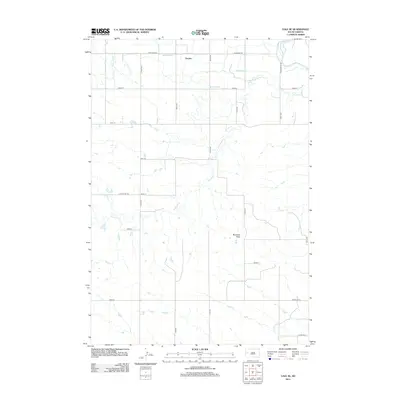 2012 Vale SE2012 Print · USGSButte County ranch lands and irrigation networks are visible here during the early twenty-first century. Genealogists and local historians can trace the paths of Ninemile Cr and Dry Cr, and find family-named landmarks like Buzzards Peak or the settlement at Empire.
 - 2012 Map of Tilford, 2012 Print
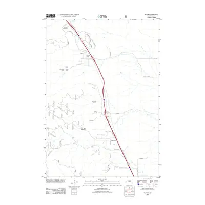 2012 Tilford2012 Print · USGSMeade County, South Dakota, is captured here in the early twenty-first century as the community of Tilford continues its life along the historic Black Hills front. Researchers can locate the Black Hills National Cem and trace local family landmarks like Bald Mountain or the many named drainages including Tilford Gulch.
 - 2012 Map of Volunteer, 2012 Print
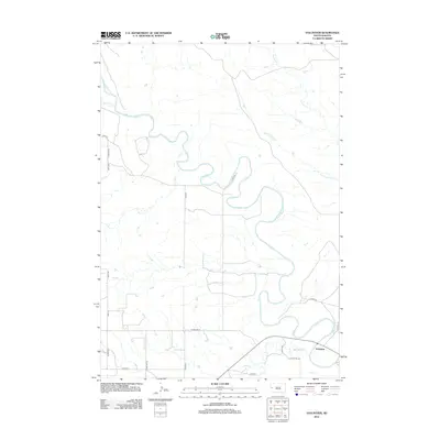 2012 Volunteer2012 Print · USGSMeade County agriculture and the winding Belle Fourche River define this South Dakota landscape in the early 2010s. Researchers can trace rural property access and river drainage patterns near Volunteer and along Bear Butte Cr.
 - 2012 Map of Blackhawk, 2012 Print
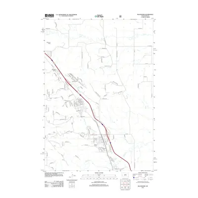 2012 Blackhawk2012 Print · USGSThe eastern edge of the Black Hills comes into focus in the early 2010s, showing the residential expansion around Blackhawk. Genealogists and local historians can trace modern developments near Blackhawk Cem, Stagebarn Canyon, and Piedmont Butte.
 - 2012 Map of Lone Tree Creek, 2012 Print
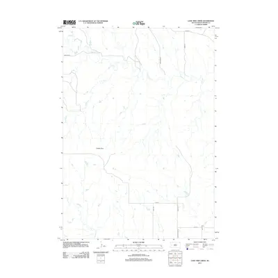 2012 Lone Tree Creek2012 Print · USGSMeade County ranching country is captured here in the early twenty-first century, showing the enduring rural layout of the western South Dakota plains. Researchers can trace land holdings and local landmarks like Costello Point or follow the waters of Lone Tree Cr and Alkali Cr.
 - 2012 Map of Volunteer SE, 2012 Print
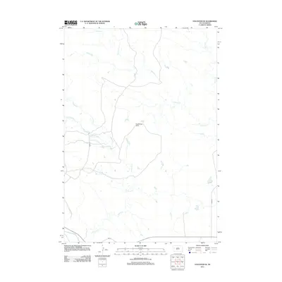 2012 Volunteer SE2012 Print · USGSMeade County, South Dakota, is characterized by wide-open plains and river drainages in the early twenty-first century. Researchers can trace the winding course of the Belle Fourche River and identify local landmarks like Englishman Butte and Eightmile Cr.
 - 2012 Map of Cottonwood Draw, 2012 Print
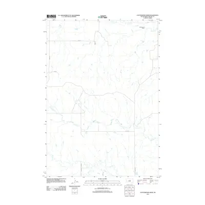 2012 Cottonwood Draw2012 Print · USGSMeade County remains a landscape of wide-open drainage basins and rural section roads in the early twenty-first century. Researchers can trace the meandering paths of Antelope Cr and Alkali Cr or locate specific holdings near Tilford Rd.
 - 2012 Map of Rapid City NW, 2012 Print
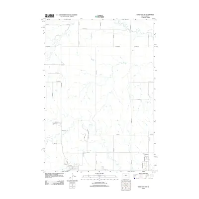 2012 Rapid City NW2012 Print · USGSRapid City's northwestern periphery is captured here during a period of transition in the early twenty-first century. Genealogists and local historians can trace family locations near Elk Vale Cem or follow the paths of Boxelder Cr and Elk Cr.
 - 2012 Map of Union Center, 2012 Print
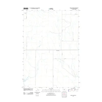 2012 Union Center2012 Print · USGSMeade County's open ranching country is captured here in the early twenty-first century as a landscape of wide-set homesteads and prairie streams. Genealogists and local historians can locate Union Center and the M P Ranch among the banks of W Bull Cr and Hay Cr.
 - 2012 Map of White Owl NW, 2012 Print
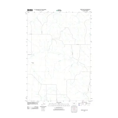 2012 White Owl NW2012 Print · USGSMeade County rangeland remains defined by its sparse ranching infrastructure and deep prairie creek beds in the early twenty-first century. Researchers can trace land access via Red Owl Rd or locate the remote Cobb Ranch Airstrip along the banks of Cherry Cr.
 - 2012 Map of Plainview, 2012 Print
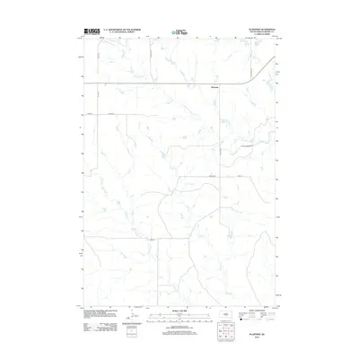 2012 Plainview2012 Print · USGSMeade County, South Dakota, is captured here in the early 2010s, showing a rural landscape defined by its vital water sources and remote road networks. Genealogists and local historians can trace the areas around Plainview and navigate the banks of Wilson Lake and Deere Cr.
 - 2012 Map of Boneita Springs, 2012 Print
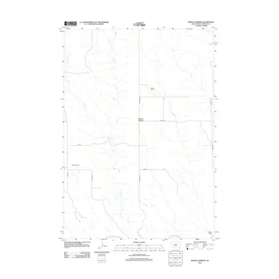 2012 Boneita Springs2012 Print · USGSBoneita Springs and the surrounding Meade County rangelands are captured here in the early twenty-first century. Researchers can trace the drainage of W Bull Cr toward the Belle Fourche River or locate the isolated Barber Airport.
 - 2012 Map of Hereford, 2012 Print
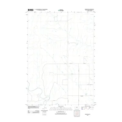 2012 Hereford2012 Print · USGSThe rural prairie landscape of Meade County comes into focus in this early twenty-first-century survey of the Hereford area. Researchers can trace the winding course of the Belle Fourche River and follow local routes like Alkali Rd.
 - 2012 Map of Signal Butte, 2012 Print
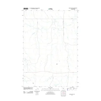 2012 Signal Butte2012 Print · USGSMeade County, South Dakota, is captured here in the early twenty-first century as a landscape of broad ridges and seasonal watercourses. Researchers can trace the terrain from Signal Butte down to the banks of Deep Cr and Flint Cr along Fox Ridge Rd.
 - 2012 Map of Opal East SW, 2012 Print
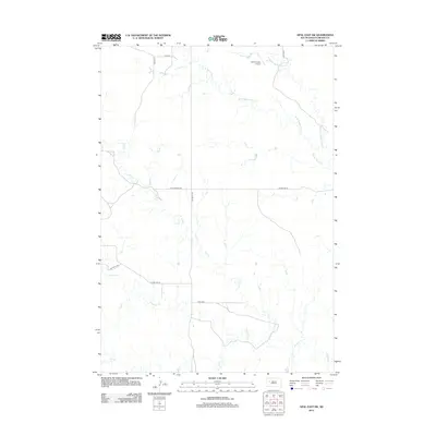 2012 Opal East SW2012 Print · USGSMeade County in the early twenty-first century remains a landscape of wide-open ranching country and prairie drainages. Researchers can trace the paths of Sulphur Crk and Beaver Dam Cr alongside local landmarks like Vig Limousin Airport.
 - 2012 Map of Vig Buttes, 2012 Print
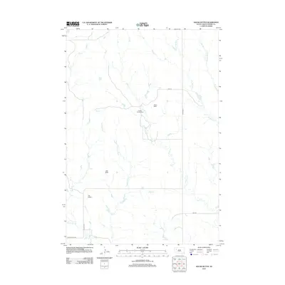 2012 Vig Buttes2012 Print · USGSMeade County rangeland remains defined by its distinct landforms and drainage networks in the early twenty-first century. Researchers can trace the topography around Vig Buttes and Zeff Butte, or locate the isolated Engalls Landing Strip near Horse Cr.
 - 2012 Map of Maurine, 2012 Print
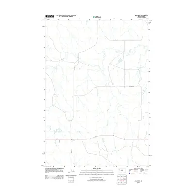 2012 Maurine2012 Print · USGSMeade County, South Dakota, in the early 2010s is captured here in this survey of its rural prairie landscape. Researchers can trace the water sources and roads essential to the area, from Maurine Lake and Deep Cr to the junction of Maurine Rd.
 - 2012 Map of Table Top Butte, 2012 Print
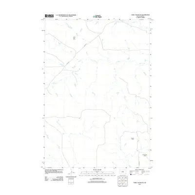 2012 Table Top Butte2012 Print · USGSMeade County, South Dakota, is depicted in the early 2010s as a high-plains landscape shaped by natural landmarks and quiet rural roads. Researchers can trace the drainage of S Sulphur Cr and locate high ground at Table Top Butte and Saddle Butte.
 - 2012 Map of Marcus, 2012 Print
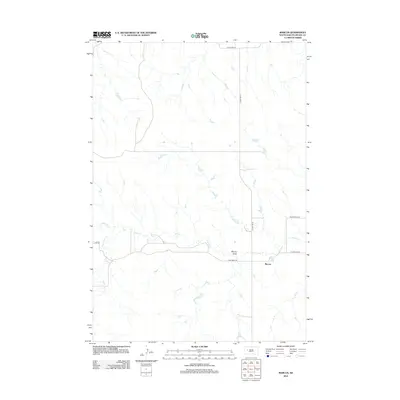 2012 Marcus2012 Print · USGSMeade County, South Dakota, is captured in this modern survey of the high plains, showing the rural crossroads of Marcus. Genealogists and local historians can trace family land around Ensor Lake or follow the paths of Cherry Cr and Old Marcus Rd.
 - 2012 Map of Big Draw, 2012 Print
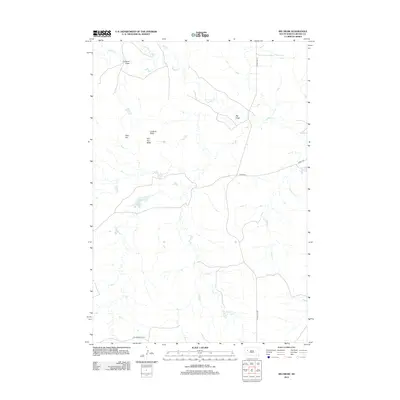 2012 Big Draw2012 Print · USGSMeade County, South Dakota, in the early 2010s reveals a landscape of isolated buttes and seasonal watercourses. Genealogists and researchers can trace the rural road network including Old Stoneville Rd or locate landmarks like Stoneville Lake and Lookout Butte.
 - 2012 Map of Redowl, 2012 Print
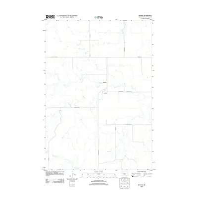 2012 Redowl2012 Print · USGSMeade County is captured here in the early twenty-first century, showing a remote agricultural landscape centered on the rural hub of Redowl. Genealogists and local historians can trace family locations near Pleasant Valley Cem and follow the paths of Cherry Cr and Indian Cr.
Showing maps 1-25 of 237
Top cities of Meade County
Frequently asked questions
- What are the different types of historical maps available for Meade County?
- What is the oldest map of Meade County?
- Where can I purchase historical maps of Meade County for my home or office?
- Where can I download high-res historical maps of Meade County?
- Are there historical topographic maps available for Meade County?
- Is there historical aerial imagery available for Meade County?
- Where are historical maps of Meade County sourced from?