2010s Maps of Castro County, Texas
Explore 96 historic maps of Castro County from the 2010s. These maps offer a rare glimpse into what life looked like during the 2010s — showing old roads, neighborhoods, homes, and landmarks that have changed or disappeared over time.
Whether you're researching your family's past, planning a metal detecting trip, or studying how Castro County's landscape evolved across the 2010s, these high-resolution maps are a powerful tool for exploring the history of this region.
- Focus on a specific era: All maps on this page are from the 2010s, giving you a focused view of this time period.
- See what’s changed: Compare century-old streets, trails, and buildings to today's modern landscape using overlays and satellite layers.
- Research with precision: Use these maps for genealogy, historical research, land use analysis, or educational projects.
- View, download, or print: Maps are fully viewable online in high resolution, and can be downloaded or printed for your own records.
Start exploring Castro County's history through authentic maps from the 2010s. This is your window into the past.
Castro County, TX maps
(96)- 2010 Map of Lazbuddie, 2010 Print
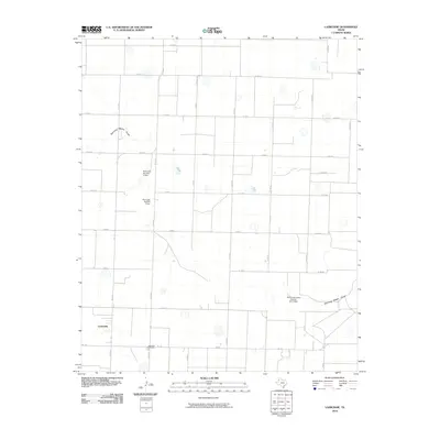 2010 Lazbuddie2010 Print · USGSLazbuddie and the surrounding Parmer County farmstead grid are captured here in the early twenty-first century. Genealogists and local historians can locate the Lazbuddie Cemetery and trace the course of Running Water Draw past numerous soil conservation dams.
 - 2010 Map of Lazbuddie SE, 2010 Print
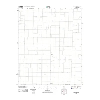 2010 Lazbuddie SE2010 Print · USGSPleasant Valley and the surrounding Lamb County farmlands are captured in the early twenty-first century, showing the enduring grid of the High Plains. Researchers can locate the Pleasant Valley Community House and trace the rural routes of FM 303 and FM 2910.
 - 2010 Map of Arney, 2010 Print
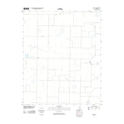 2010 Arney2010 Print · USGSThe Texas Panhandle's agricultural grid is meticulously documented in this survey from the early twenty-first century. Genealogists and local historians can trace the rural infrastructure around Arney, identifying landmarks like the Cone Johnson Dam and North Tule Lake.
 - 2010 Map of Center Plains School, 2010 Print
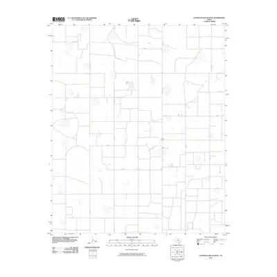 2010 Center Plains School2010 Print · USGSSwisher County agricultural lands are shown in the early twenty-first century, revealing a precisely gridded landscape of rural commerce. Researchers can trace local land use through the named Cripple T Farm and a network of arterial routes like FM 1424 and FM 928.
 - 2010 Map of Flagg, 2010 Print
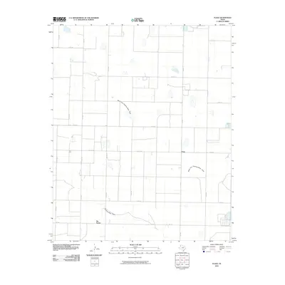 2010 Flagg2010 Print · USGSThe Texas Panhandle reveals its agricultural grid and seasonal waterways at the start of the 2010s. Researchers can trace the rural communities of Flagg and Big Square along the banks of Running Water Draw and its northern fork.
 - 2010 Map of Hart NW, 2010 Print
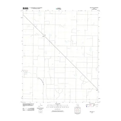 2010 Hart NW2010 Print · USGSThe High Plains of Castro County appear in this late-era survey as a landscape of geometric precision and rural endurance. Genealogists and local historians can trace the relationship between the North Fork Running Water Draw and small settlements like Roy and Mulkey.
 - 2010 Map of Nazareth, 2010 Print
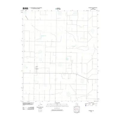 2010 Nazareth2010 Print · USGSIn the heart of Castro County during the late 2000s, this survey shows a community defined by its agricultural grid and High Plains lakes. Researchers can locate the Holy Family Cemetery and trace landmarks like Schwalker Lake and the winding Middle Tule Draw.
 - 2010 Map of Dimmitt SW, 2010 Print
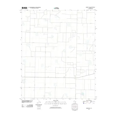 2010 Dimmitt SW2010 Print · USGSCastro County's High Plains landscape is captured here in the early twenty-first century, showcasing the precise agricultural grid of the Texas Panhandle. Genealogists and local historians can trace the rural layout along Fm 1555, Fm 2392, and numerous section roads like Co Rd 610.
 - 2010 Map of Nazareth SW, 2010 Print
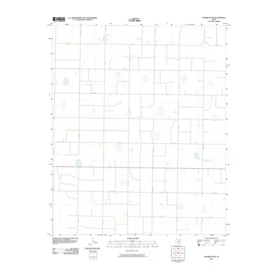 2010 Nazareth SW2010 Print · USGSThe High Plains of Castro County appear here as a precision-surveyed agricultural grid in the early twenty-first century. Genealogists and local historians can trace the exact layout of rural homesteads and farm roads like Fm 1567, Co Rd 610, and Co Rd 520.
 - 2010 Map of Hart, 2010 Print
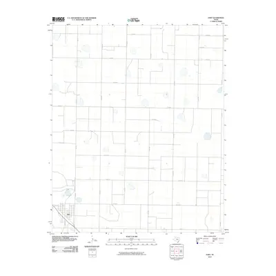 2010 Hart2010 Print · USGSThe town of Hart serves as the focal point of this Castro County landscape during the early twenty-first century. Researchers can trace the development of the High Plains grid through routes like FM 168 and the network of county roads including Co Rd 624.
 - 2010 Map of Edmonson, 2010 Print
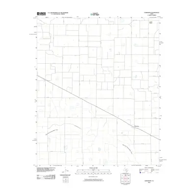 2010 Edmonson2010 Print · USGSHale County's high plains are captured here in the early twenty-first century, showing a landscape shaped by agriculture and water draws. Researchers can trace the layout of Edmonson and Center Plains or follow the paths of the North Fork Running Water Draw and FM 1424.
 - 2010 Map of Tulia NW, 2010 Print
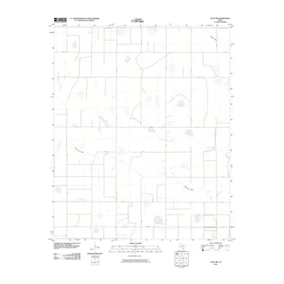 2010 Tulia NW2010 Print · USGSRandall County agriculture and High Plains drainage are captured here during the first decade of the millennium. Researchers can trace the path of North Tule Draw or locate rural landmarks along FM 1075 and W Happy West Rd.
 - 2010 Map of Lakeview, 2010 Print
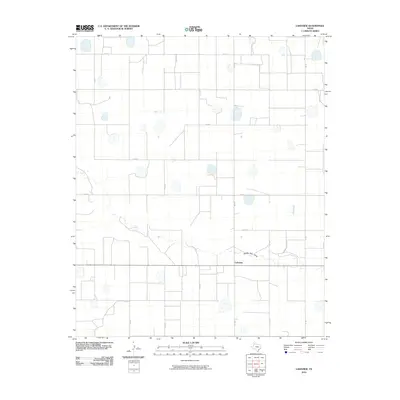 2010 Lakeview2010 Print · USGSSwisher County's high plains landscape is captured in the early twenty-first century, centered on the rural community of Lakeview. Researchers can trace local drainage patterns along Middle Tule Draw and locate specific sections via the detailed grid of CO RD J and CO RD 4.
 - 2010 Map of Dodd NE, 2010 Print
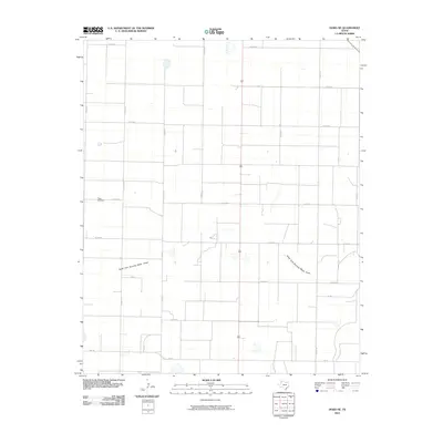 2010 Dodd NE2010 Print · USGSThe High Plains of Castro County are documented in the early twenty-first century, showing a vast agricultural grid shaped by the elements. Genealogists and local historians can locate Flagg Cemetery and trace the path of the North Fork Running Water Draw.
 - 2010 Map of Jumbo, 2010 Print
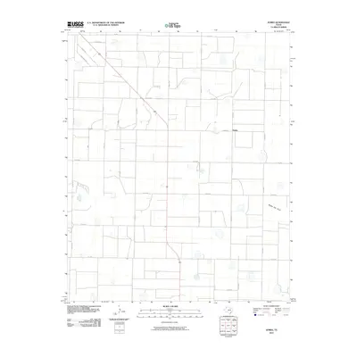 2010 Jumbo2010 Print · USGSThe community of Jumbo in Castro County is shown during the early 21st century, surrounded by a dense grid of rural Texas Panhandle roads. Researchers can trace the path of Middle Tule Draw or locate specific homesteads along Busby Rd and Jumbo Rd.
 - 2010 Map of Easter, 2010 Print
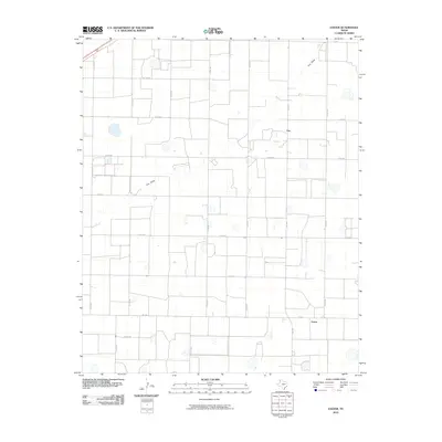 2010 Easter2010 Print · USGSCastro County's High Plains farming and ranching country is captured here during the first decade of the millennium. Researchers can trace the layout of rural crossroads like Easter and Frio along the wandering path of the Frio Draw.
 - 2010 Map of Nazareth NW, 2010 Print
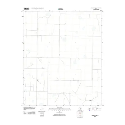 2010 Nazareth NW2010 Print · USGSRandall County's panhandle landscape is seen here in the early 21st century, defined by a rigid grid of rural transport and the natural path of Middle Tule Draw. Trace the local road network through family-land parcels along County Line Rd and Fm 1075.
 - 2010 Map of Dodd SE, 2010 Print
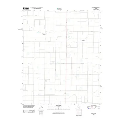 2010 Dodd SE2010 Print · USGSThe High Plains community of Sunnyside and its surrounding farmstead grid are captured here in the early twenty-first century. Researchers can locate the Springlake Cemetery and trace the seasonal path of Running Water Draw through the local section roads.
 - 2010 Map of Dodd, 2010 Print
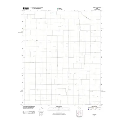 2010 Dodd2010 Print · USGSThe High Plains of Castro County are shown in the early 21st century as a landscape of geometric agricultural precision. Genealogists and researchers can trace the local road network and property access via FM 1055, Running Water Draw, and the settlement of Dodd.
 - 2010 Map of Dimmitt, 2010 Print
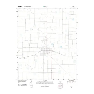 2010 Dimmitt2010 Print · USGSDimmitt sits at the center of this High Plains agricultural grid in the early twenty-first century. Genealogists and local historians can trace the town's footprint between Dimmitt Cemetery and Castro Memorial Gardens, while mapping the reach of FM 2392.
 - 2010 Map of Tam Anne, 2010 Print
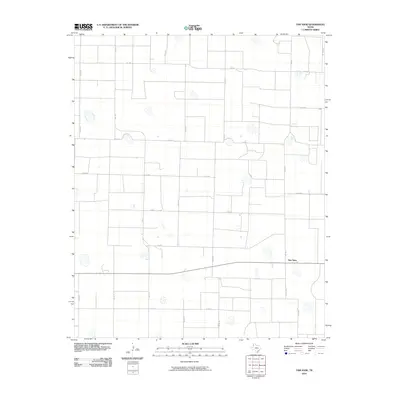 2010 Tam Anne2010 Print · USGSThe Texas panhandle settlement of Tam Anne is captured here at the start of the 2010s, surrounded by a vast grid of agricultural roads. Genealogists and local historians can trace the precise layout of Farm to Market routes like Fm 1172 and Fm 1057.
 - 2010 Map of Hilburn, 2010 Print
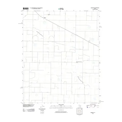 2010 Hilburn2010 Print · USGSAgricultural life in the Texas Panhandle is captured here in the early twenty-first century, showing a landscape defined by ranch roads and seasonal watercourses. Genealogists and local historians can trace rural property lines around Hilburn, Grisham, and the Soil Conservation Service Site 2 Dam.
 - 2010 Map of Hart SW, 2010 Print
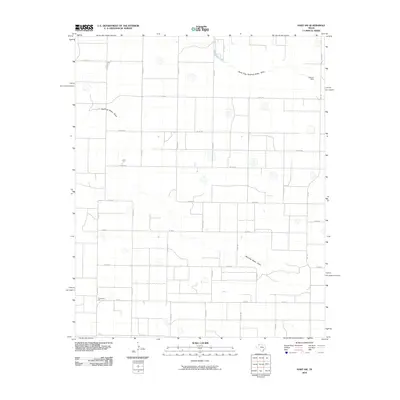 2010 Hart SW2010 Print · USGSLamb County's agricultural heartland is captured here in the early twenty-first century, showing the intersection of irrigation and industry. Genealogists and local historians can trace the rural road network surrounding Thompson Gin and the seasonal paths of Running Water Draw.
 - 2010 Map of Summerfield, 2010 Print
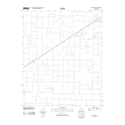 2010 Summerfield2010 Print · USGSThe Texas Panhandle in the early twenty-first century shows a landscape of precision-grid agriculture and scattered settlements. Genealogists and local historians can trace the rural road network connecting Summerfield and Black to landmarks like Frye Lake and Frio Draw.
 - 2012 Map of Nazareth, 2012 Print
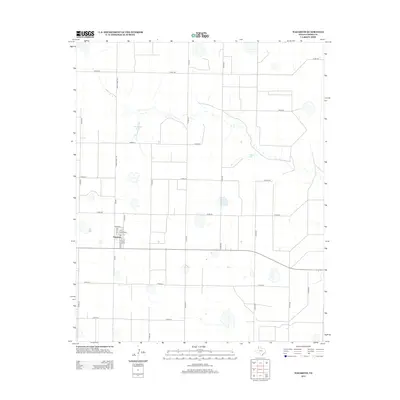 2012 Nazareth2012 Print · USGSNazareth and the surrounding Castro County plains are captured here in the early twenty-first century, showcasing a landscape of high-plains agriculture. Researchers can trace the town’s residential grid and locate the Holy Family Cem or find natural landmarks like Schwalker Lake.
Showing maps 1-25 of 96
Top cities of Castro County
Frequently asked questions
- What are the different types of historical maps available for Castro County?
- What is the oldest map of Castro County?
- Where can I purchase historical maps of Castro County for my home or office?
- Where can I download high-res historical maps of Castro County?
- Are there historical topographic maps available for Castro County?
- Is there historical aerial imagery available for Castro County?
- Where are historical maps of Castro County sourced from?