2000s (21st Century) Maps of Real County, Texas
Explore 105 historic maps of Real County from the 2000s (21st Century). These maps offer a rare glimpse into what life looked like during the 2000s — showing old roads, neighborhoods, homes, and landmarks that have changed or disappeared over time.
Whether you're researching your family's past, planning a metal detecting trip, or studying how Real County's landscape evolved across the 2000s, these high-resolution maps are a powerful tool for exploring the history of this region.
- Focus on a specific era: All maps on this page are from the 2000s, giving you a focused view of this time period.
- See what’s changed: Compare century-old streets, trails, and buildings to today's modern landscape using overlays and satellite layers.
- Research with precision: Use these maps for genealogy, historical research, land use analysis, or educational projects.
- View, download, or print: Maps are fully viewable online in high resolution, and can be downloaded or printed for your own records.
Start exploring Real County's history through authentic maps from the 2000s. This is your window into the past.
Real County, TX maps
(105)- 2010 Map of Sabinal Canyon, 2010 Print
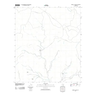 2010 Sabinal Canyon2010 Print · USGSThis Real County canyon land during the early 2000s shows a landscape of deep hollows and winding ranch roads. Researchers can trace the courses of the Sabinal River and North Prong Medina River or locate local landmarks like Pelaez Lake and Fiddler Hollow.
 - 2010 Map of Hillcrest Ranch, 2010 Print
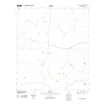 2010 Hillcrest Ranch2010 Print · USGSTexas Hill Country ranching life is documented here during the early twenty-first century, showing a landscape defined by water and landholdings. Researchers can locate specific family properties like the Chittim Ranch and Haby Ranch alongside reliable water markers like Martin Camp Spring.
 - 2010 Map of Circle Bluff, 2010 Print
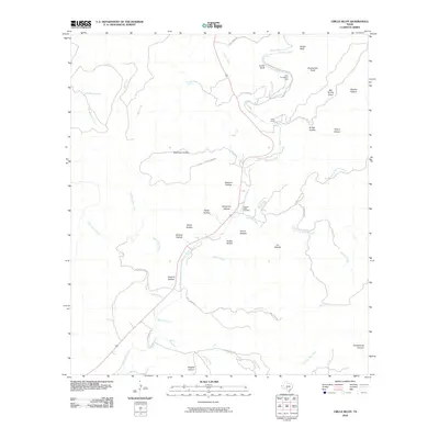 2010 Circle Bluff2010 Print · USGSReal County ranchlands and river canyons are detailed in this 2010 survey of the Texas Hill Country. Researchers can locate remote burial sites at Cypress Creek Cemetery and trace historical land use around Perry Ranch and the Butt Foundation Camp.
 - 2010 Map of Crown Mountain, 2010 Print
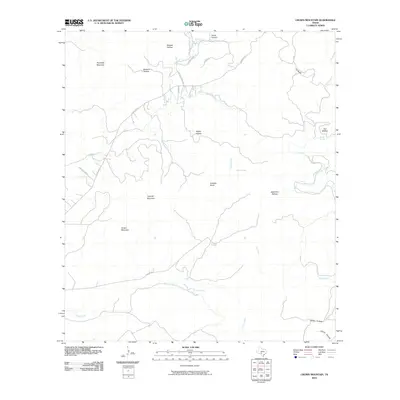 2010 Crown Mountain2010 Print · USGSReal County at the start of the 2010s reveals a high-relief landscape where numerous springs and hollows define the local geography. Researchers can trace the drainage of Camp Wood Creek and locate landmarks like Gobbler Knob and Devils Canyon.
 - 2010 Map of Joy Hollow, 2010 Print
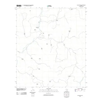 2010 Joy Hollow2010 Print · USGSReal County ranching country is shown here in the early twenty-first century, revealing a landscape of deep canyons and seasonal draws. Researchers can trace the reach of the East Prong Nueces River and locate remote sites like the Kaolin Mine and Eagle Ranch.
 - 2010 Map of Jo Jan Van Camp, 2010 Print
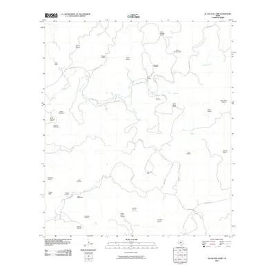 2010 Jo Jan Van Camp2010 Print · USGSReal County ranch lands are detailed here during the early twenty-first century, showing a landscape of named canyons and essential water holes. Genealogists and researchers can trace local family names through landmarks like Waldroop Hollow, Pletcher Lake Dam, and the Jo Jan Van Camp settlement.
 - 2010 Map of Vanderpool, 2010 Print
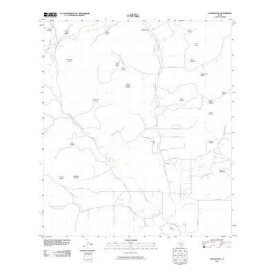 2010 Vanderpool2010 Print · USGSThe ranching country of the Sabinal Canyon comes into focus during the early twenty-first century. Genealogists and researchers can locate the Jones Cemetery or trace family landmarks across Taylor Mountain and along the banks of the West Sabinal River.
 - 2010 Map of Lake Creek, 2010 Print
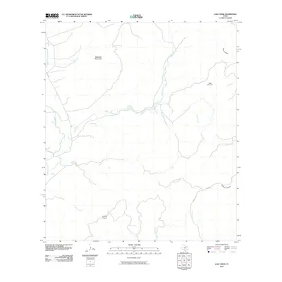 2010 Lake Creek2010 Print · USGSTexas ranching country in the early twenty-first century is defined here by its isolated springs and rugged limestone topography. Genealogists and historians can trace the remote canyons and landmarks of Real County, from Dugwell Canyon and Rawhide Spring to Mule Mountain.
 - 2010 Map of Rio Frio, 2010 Print
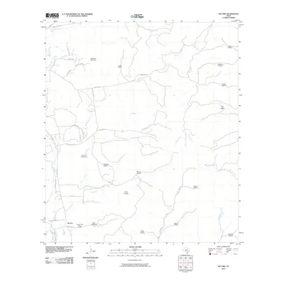 2010 Rio Frio2010 Print · USGSThe Texas Hill Country landscape near Rio Frio is mapped here during the early twenty-first century, showing a region defined by ranching and river valleys. Researchers can trace land features like Saddle Mountain, find the Casey Three Ranch Airport, and explore named hollows such as Friday Hollow and Ash Hollow.
 - 2010 Map of Bee Cave Hollow, 2010 Print
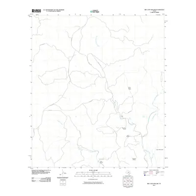 2010 Bee Cave Hollow2010 Print · USGSReal County ranching life is documented here in the early twenty-first century as the Frio River headwaters carve through the landscape. Researchers can trace land use and water sources through Prade Ranch, Bee Cave Hollow, and Miller Springs.
 - 2010 Map of Owl Hollow, 2010 Print
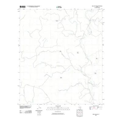 2010 Owl Hollow2010 Print · USGSReal County ranch lands and river forks are captured here in the early 2000s, showing a landscape defined by deep valleys and water sources. Researchers can trace family ranch roads and find landmarks like Lewis Ranch Airport, White Spring, and Owl Hollow.
 - 2010 Map of Well Hollow, 2010 Print
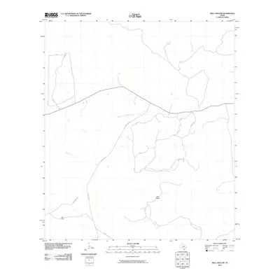 2010 Well Hollow2010 Print · USGSKerr County ranching country is documented here in the early twenty-first century, showing a landscape defined by its river headwaters. Researchers can trace the path of the South Fork Guadalupe River and find family-named landmarks like Haby Ranch Rd and Well Hollow.
 - 2010 Map of Leakey, 2010 Print
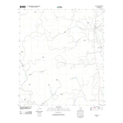 2010 Leakey2010 Print · USGSLeakey and the upper Frio River country are mapped here during the early twenty-first century, showing the intersection of ranching life and rugged terrain. Local historians can locate the Exile Cemetery, trace the course of Patterson Creek, and find the Alto Frio Encampment.
 - 2010 Map of Reagan Wells, 2010 Print
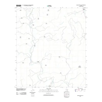 2010 Reagan Wells2010 Print · USGSReagan Wells and the winding canyons of Uvalde County are captured here during the first decade of the millennium. Researchers can locate family landmarks like the Cummins-Heard Cemetery and trace the many drainages like Lightning Bug Spring or Mace Creek.
 - 2010 Map of Hackberry, 2010 Print
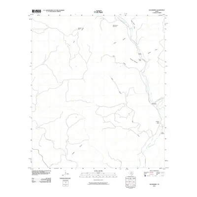 2010 Hackberry2010 Print · USGSThe Edwards County backcountry comes into focus in this early twenty-first-century survey of the Nueces River headwaters. Researchers can trace the layout of the Hackberry community, locating the Hackberry Cemetery and Schoolhouse Mountain along the winding path of Ranch Rd 335.
 - 2010 Map of Camp Wood, 2010 Print
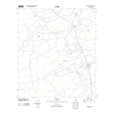 2010 Camp Wood2010 Print · USGSThe Nueces River valley in the early twenty-first century reveals a landscape of river-bottom settlements and high Texas peaks. Genealogists and local historians can trace the foundations of Camp Wood, Barksdale, and the Garden of Memories cemetery.
 - 2010 Map of Montell, 2010 Print
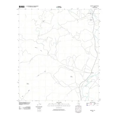 2010 Montell2010 Print · USGSThe Nueces River valley in Uvalde County is captured here in the early twenty-first century, showing the settlement of Montell and its surrounding highlands. Local historians can trace water management and landmarks from Arnold Crossing Dam to the heights of Shoe Peg Mountain and Boiling Mountain.
 - 2010 Map of Earwood Creek SW, 2010 Print
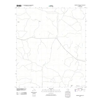 2010 Earwood Creek SW2010 Print · USGSReal County ranch lands are captured here in the early twenty-first century as the landscape transitioned toward modern water management. Researchers can trace rural landmarks like Blair Windmill, the Heitmeyer Lake Dam, and the East Prong Nueces River.
 - 2010 Map of Earwood Creek, 2010 Print
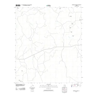 2010 Earwood Creek2010 Print · USGSTexas Hill Country ranching and water management are the focus of this Kerr County study from the early twenty-first century. Genealogists and local historians can locate family landmarks like the Steele Windmill or track the terrain around The Kettle and Owl Hollow.
 - 2010 Map of Garven Store, 2010 Print
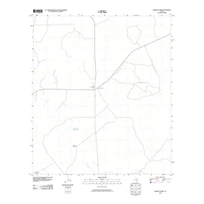 2010 Garven Store2010 Print · USGSKerr County ranching country is centered on a vital crossroads at the turn of the decade. Researchers can trace the water sources and infrastructure critical to the region, from the Divide Community House to Buffalo Windmill and Hackberry Waterhole.
 - 2010 Map of Vance, 2010 Print
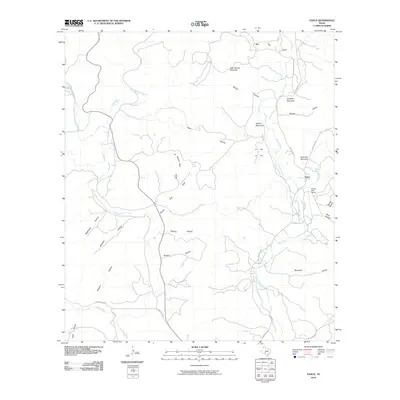 2010 Vance2010 Print · USGSThe Nueces River valley in the early twenty-first century remains a landscape of remote ranching outposts and high limestone peaks. Trace the geography of the river corridor near Vance and Flying Bull Ranch, or locate family-named landmarks like Perkins Mountain and Cardells.
 - 2012 Map of Garven Store, 2012 Print
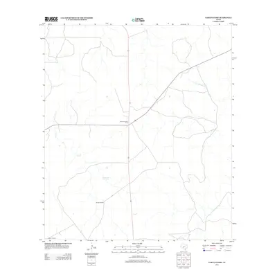 2012 Garven Store2012 Print · USGSThe Texas hill country near the headwaters of the Guadalupe River comes into focus during the early twenty-first century. Researchers can locate the Divide Community House and trace water resources like Black Jack Waterhole and Buffalo Windmill.
 - 2012 Map of Earwood Creek, 2012 Print
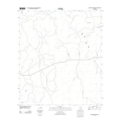 2012 Earwood Creek2012 Print · USGSKerr County ranch lands are documented here in the early twenty-first century, showing a landscape shaped by water and wire. Genealogists and local historians can locate remote landmarks like The Kettle or trace the family-named ranch infrastructure of Black Jack Windmill and Steele Windmill.
 - 2012 Map of Earwood Creek SW, 2012 Print
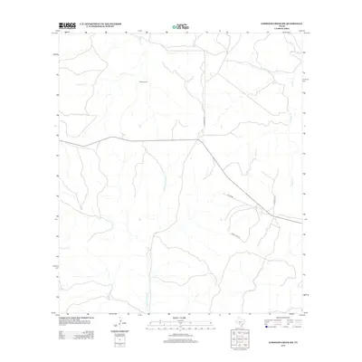 2012 Earwood Creek SW2012 Print · USGSReal County ranch land is captured in the early twenty-first century, showing the drainage basins that feed the Nueces River. Local researchers can trace rural infrastructure and water sources like the Blair Windmill, Contrary Cr, and Hackberry Rd.
 - 2012 Map of Lake Creek, 2012 Print
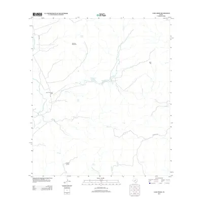 2012 Lake Creek2012 Print · USGSThe high ranch lands of Real County are documented here in the early twenty-first century, showing a landscape defined by seasonal creeks and limestone uplands. Researchers can locate private landmarks like the Fossil Creek Ranch Airport or trace water sources from Rawhide Spring to the Nueces River.
Showing maps 1-25 of 105
Top cities of Real County
Frequently asked questions
- What are the different types of historical maps available for Real County?
- What is the oldest map of Real County?
- Where can I purchase historical maps of Real County for my home or office?
- Where can I download high-res historical maps of Real County?
- Are there historical topographic maps available for Real County?
- Is there historical aerial imagery available for Real County?
- Where are historical maps of Real County sourced from?