2000s (21st Century) Maps of Juab County, Utah
Explore 457 historic maps of Juab County from the 2000s (21st Century). These maps offer a rare glimpse into what life looked like during the 2000s — showing old roads, neighborhoods, homes, and landmarks that have changed or disappeared over time.
Whether you're researching your family's past, planning a metal detecting trip, or studying how Juab County's landscape evolved across the 2000s, these high-resolution maps are a powerful tool for exploring the history of this region.
- Focus on a specific era: All maps on this page are from the 2000s, giving you a focused view of this time period.
- See what’s changed: Compare century-old streets, trails, and buildings to today's modern landscape using overlays and satellite layers.
- Research with precision: Use these maps for genealogy, historical research, land use analysis, or educational projects.
- View, download, or print: Maps are fully viewable online in high resolution, and can be downloaded or printed for your own records.
Start exploring Juab County's history through authentic maps from the 2000s. This is your window into the past.
Juab County, UT maps
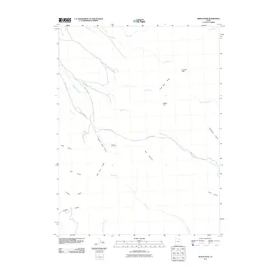
(457)- 2001 Map of Williams Peak, 2003 Print
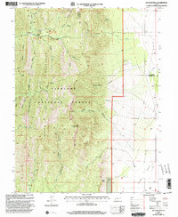 2001 Williams Peak2003 Print · USGSThe Fishlake National Forest area and the mountains bordering Millard and Juab Counties are shown here as they appeared at the turn of the century. Trace the drainages of Eightmile Creek and Little Oak Creek or locate remote spots like Little Creek Campground and Williams Peak.
 - 2001 Map of Champlin Peak, 2003 Print
 2001 Champlin Peak2003 Print · USGSThe Sevier River corridor in Juab County is shown here at the turn of the millennium, detailing a landscape shaped by water management and industry. Researchers can trace the routes of the Leamington Canal and Central Utah Canal or locate the Cement Plant near Uisco.
 - 2001 Map of Fool Creek Peak, 2003 Print
 2001 Fool Creek Peak2003 Print · USGSThe high ridges of the Fish Lake Mountains are documented at the turn of the millennium, following the Juab and Millard county line. Researchers can trace early mining traces at Mine Shafts and remote water sources like Mourning Dove Spring and Wild Horse Spring.
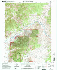
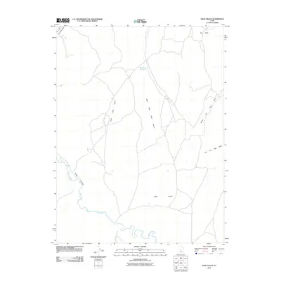
 - 2001 Map of Levan, 2004 Print
 2001 Levan2004 Print · USGSLevan and the Juab Valley are captured here at the start of the millennium, where the town grid meets the steep canyons of the Sanpete Mountains. Genealogists and local historians can locate the Cem, the old Flume, and various industrial markers like Quarries and Gravel Pits.
 - 2001 Map of Fountain Green North, 2004 Print
 2001 Fountain Green North2004 Print · USGSThe Sanpete Valley meets the mountains of the Uinta National Forest at the turn of the millennium. Genealogists can locate the town Cem and local landmarks like the Fish Hatchery and Big Springs.
 - 2001 Map of Fountain Green South, 2004 Print
 2001 Fountain Green South2004 Print · USGSThe Sanpete Valley remains a quiet agricultural landscape at the turn of the millennium, anchored by small settlements and high mountain ridges. Trace the routes of local families through Fountain Green, Freedom, and the nearby Cem.
 - 2001 Map of Wales, 2004 Print
 2001 Wales2004 Print · USGSThe Sanpete Valley at the turn of the millennium remains a landscape of high-desert agriculture and forest wilderness. Genealogists and historians can trace the townsite of Wales, the local Cem, and the old resource roads through Coal Canyon and Axhandle Canyon.
 - 2001 Map of Chriss Canyon, 2004 Print
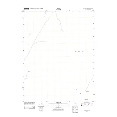
 2001 Chriss Canyon2004 Print · USGSThe Sanpitch Mountains straddle the Juab and Sanpete county lines in the early 2000s, showing a landscape defined by forest management and deep drainages. Outdoor enthusiasts and local historians can trace rugged 4WD routes to Little Red Hill, the high summit of Big Baldy, and the waters of Chriss Creek.
 - 2001 Map of Spencer Canyon, 2004 Print
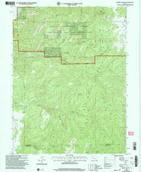
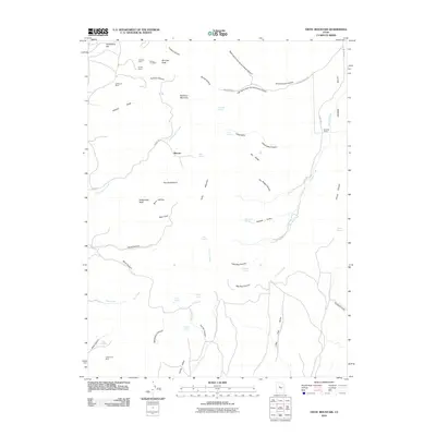
 2001 Spencer Canyon2004 Print · USGSCentral Utah's high country is documented here at the turn of the century, showing where the boundaries of three counties converge. Researchers can trace the Summit Trail past Mount Baldy or locate remote waters like Madsen Lake and Blind Lake.
 - 2001 Map of Skinner Peaks, 2004 Print
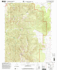
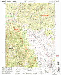
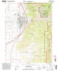
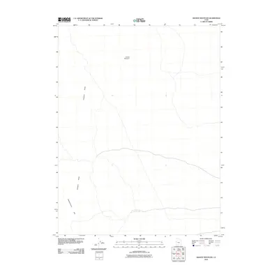
 2001 Skinner Peaks2004 Print · USGSJuab County at the turn of the millennium shows a landscape shaped by water management and the rugged terrain of the Great Basin. Local history researchers can trace the path of Old Botham Road and locate landmarks like Skinner Peaks and Chicken Creek Reservoir.
 - 2001 Map of Nephi, 2004 Print
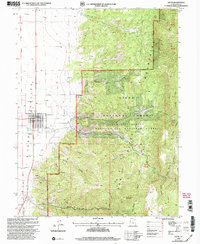
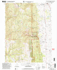
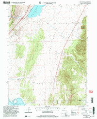
 2001 Nephi2004 Print · USGSJuab County at the turn of the millennium shows the intersection of high-desert settlement and mountain wilderness. Genealogists and historians can trace the town grid of Nephi or locate rural landmarks such as the Cem, City Hall, and the PO.
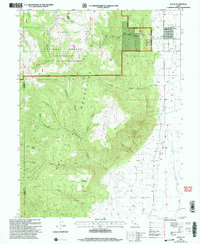
 - 2010 Map of Hole-in-the-Wall Reservoir, 2010 Print
 2010 Hole-in-the-Wall Reservoir2010 Print · USGSCovers Juab County, including United States, Utah, and other nearby areas
 - 2010 Map of Dugway Range SW, 2010 Print
 2010 Dugway Range SW2010 Print · USGSCovers Juab County, including United States, Utah, and other nearby areas
 - 2010 Map of Fish Springs SE, 2010 Print
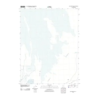
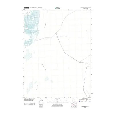 2010 Fish Springs SE2010 Print · USGSCovers Juab County, including United States, Utah, and other nearby areas
 - 2010 Map of Middle Range North, 2010 Print
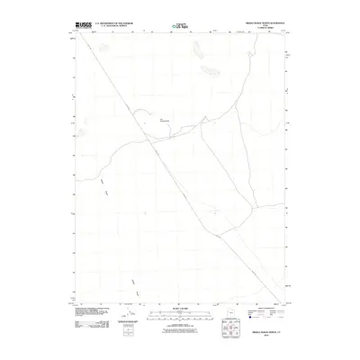 2010 Middle Range North2010 Print · USGSCovers Juab County, including United States, Utah, and other nearby areas
 - 2010 Map of Middle Range South, 2010 Print
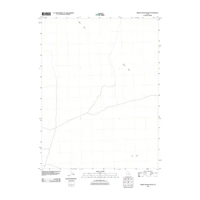 2010 Middle Range South2010 Print · USGSCovers Juab County, including Millard County, United States, and other nearby areas
 - 2010 Map of Fish Springs NE, 2010 Print
 2010 Fish Springs NE2010 Print · USGSCovers Juab County, including Tooele County, United States, and other nearby areas
 - 2010 Map of Dugway Pass, 2010 Print
 2010 Dugway Pass2010 Print · USGSCovers Juab County, including United States, Utah, and other nearby areas
 - 2010 Map of Granite Mountain, 2010 Print
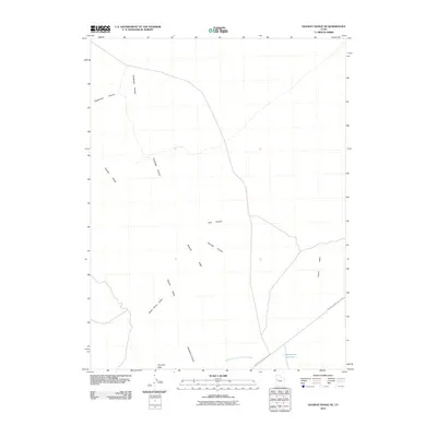
 2010 Granite Mountain2010 Print · USGSCovers Juab County, including Millard County, United States, and other nearby areas
 - 2010 Map of Dugway Range NE, 2010 Print
 2010 Dugway Range NE2010 Print · USGSCovers Juab County, including Tooele County, United States, and other nearby areas
 - 2010 Map of Lady Laird Peak, 2010 Print
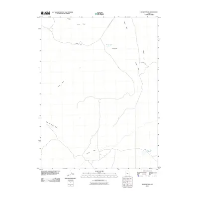
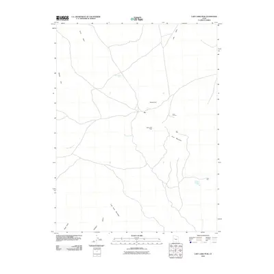 2010 Lady Laird Peak2010 Print · USGSCovers Juab County, including Joy, Millard County, and other nearby areas
 - 2010 Map of Ibapah Peak, 2010 Print
 2010 Ibapah Peak2010 Print · USGSCovers Juab County, including United States, Utah, and other nearby areas
 - 2010 Map of Sage Valley, 2010 Print
 2010 Sage Valley2010 Print · USGSCovers Juab County, including United States, Utah, and other nearby areas
 - 2010 Map of Lynndyl NW, 2010 Print
 2010 Lynndyl NW2010 Print · USGSCovers Juab County, including United States, Utah, and other nearby areas
 - 2010 Map of Tintic Mountain, 2010 Print
 2010 Tintic Mountain2010 Print · USGSCovers Juab County, including Dennis, Utah County, and other nearby areas
Showing maps 1-25 of 457
Top cities of Juab County
- Nephi historical maps
- Mona historical maps
- Rocky Ridge historical maps
- Levan historical maps
- Eureka historical maps
Frequently asked questions
- What are the different types of historical maps available for Juab County?
- What is the oldest map of Juab County?
- Where can I purchase historical maps of Juab County for my home or office?
- Where can I download high-res historical maps of Juab County?
- Are there historical topographic maps available for Juab County?
- Is there historical aerial imagery available for Juab County?
- Where are historical maps of Juab County sourced from?