2000s (21st Century) Maps of Klickitat County, Washington
Explore 291 historic maps of Klickitat County from the 2000s (21st Century). These maps offer a rare glimpse into what life looked like during the 2000s — showing old roads, neighborhoods, homes, and landmarks that have changed or disappeared over time.
Whether you're researching your family's past, planning a metal detecting trip, or studying how Klickitat County's landscape evolved across the 2000s, these high-resolution maps are a powerful tool for exploring the history of this region.
- Focus on a specific era: All maps on this page are from the 2000s, giving you a focused view of this time period.
- See what’s changed: Compare century-old streets, trails, and buildings to today's modern landscape using overlays and satellite layers.
- Research with precision: Use these maps for genealogy, historical research, land use analysis, or educational projects.
- View, download, or print: Maps are fully viewable online in high resolution, and can be downloaded or printed for your own records.
Start exploring Klickitat County's history through authentic maps from the 2000s. This is your window into the past.
Klickitat County, WA maps
(291)- 2000 Map of Klickitat, 2003 Print
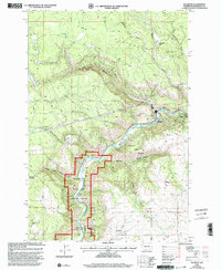 2000 Klickitat2003 Print · USGSThe Klickitat River canyon and its surrounding plateaus are captured here at the start of the millennium. Local historians can trace the town of Klickitat, the settlement at Pitt, and industrial landmarks like Woodruff Mill or the Snyder Stratum.
 - 2011 Map of Canoe Ridge, 2011 Print
 2011 Canoe Ridge2011 Print · USGSCovers Klickitat County, including Benton County, United States, and other nearby areas
 - 2011 Map of Phinny Hill, 2011 Print
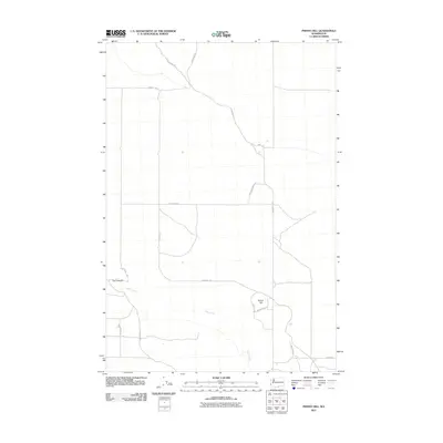 2011 Phinny Hill2011 Print · USGSCovers Klickitat County, including United States, Washington, and other nearby areas
 - 2011 Map of Bluelight, 2011 Print
 2011 Bluelight2011 Print · USGSCovers Klickitat County, including Bluelight, Yakima County, and other nearby areas
 - 2011 Map of Hagerty Butte, 2011 Print
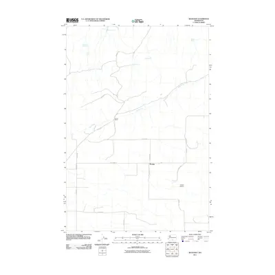
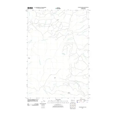
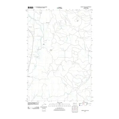
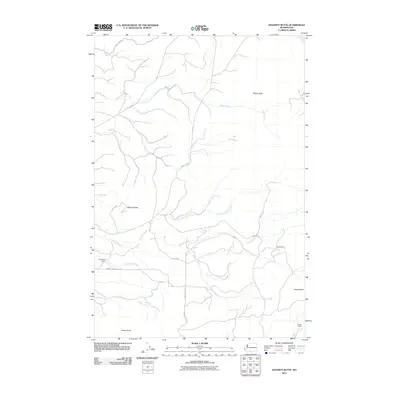 2011 Hagerty Butte2011 Print · USGSCovers Klickitat County, including Yakima County, United States, and other nearby areas
 - 2011 Map of Poisel Butte SE, 2011 Print
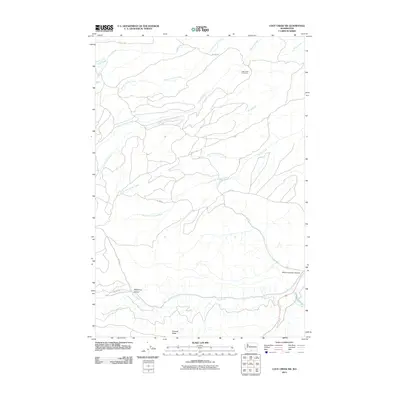
 2011 Poisel Butte SE2011 Print · USGSCovers Klickitat County, including Yakima County, United States, and other nearby areas
 - 2011 Map of Kusshi Creek, 2011 Print
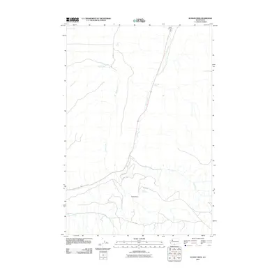 2011 Kusshi Creek2011 Print · USGSCovers Klickitat County, including Yakima County, United States, and other nearby areas
 - 2011 Map of Stagman Butte, 2011 Print
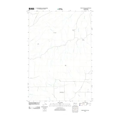
 2011 Stagman Butte2011 Print · USGSCovers Klickitat County, including Yakima County, United States, and other nearby areas
 - 2011 Map of Logy Creek SW, 2011 Print
 2011 Logy Creek SW2011 Print · USGSCovers Klickitat County, including Yakima County, United States, and other nearby areas
 - 2011 Map of Klickitat, 2011 Print
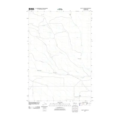
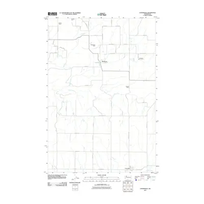
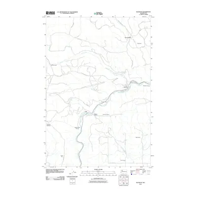 2011 Klickitat2011 Print · USGSCovers Klickitat County, including Pitt, Klickitat, and other nearby areas
 - 2011 Map of Grayback Mountain, 2011 Print
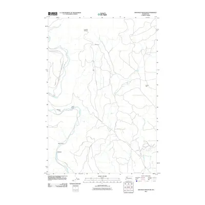 2011 Grayback Mountain2011 Print · USGSCovers Klickitat County, including United States, Washington, and other nearby areas
 - 2011 Map of Wahkiacus, 2011 Print
 2011 Wahkiacus2011 Print · USGSCovers Klickitat County, including Wahkiacus, United States, and other nearby areas
 - 2011 Map of Quigley Butte, 2011 Print
 2011 Quigley Butte2011 Print · USGSCovers Klickitat County, including United States, Washington, and other nearby areas
 - 2011 Map of Camas Prairie, 2011 Print
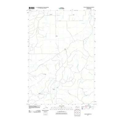 2011 Camas Prairie2011 Print · USGSCovers Klickitat County, including United States, Washington, and other nearby areas
 - 2011 Map of Douty Canyon, 2011 Print
 2011 Douty Canyon2011 Print · USGSCovers Klickitat County, including United States, Washington, and other nearby areas
 - 2011 Map of Indian Rock, 2011 Print
 2011 Indian Rock2011 Print · USGSCovers Klickitat County, including United States, Washington, and other nearby areas
 - 2011 Map of Goodnoe Hills, 2011 Print
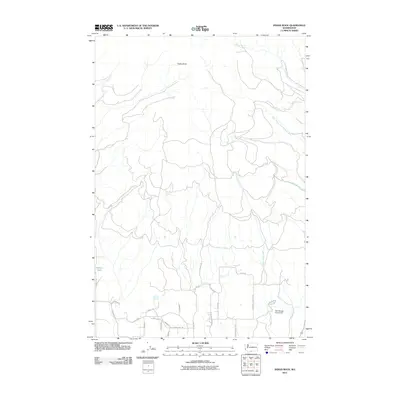
 2011 Goodnoe Hills2011 Print · USGSCovers Klickitat County, including Goodnoe Hills, United States, and other nearby areas
 - 2011 Map of Prosser SE, 2011 Print
 2011 Prosser SE2011 Print · USGSCovers Klickitat County, including Yakima County, Benton County, and other nearby areas
 - 2011 Map of Centerville, 2011 Print
 2011 Centerville2011 Print · USGSCovers Klickitat County, including Blockhouse, Centerville, and other nearby areas
 - 2011 Map of White Pine Buttes, 2011 Print
 2011 White Pine Buttes2011 Print · USGSCovers Klickitat County, including Firwood, United States, and other nearby areas
 - 2011 Map of Satus Pass, 2011 Print
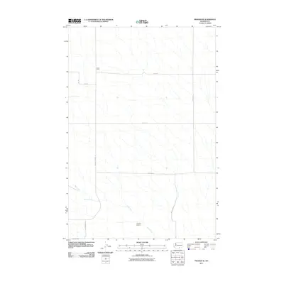
 2011 Satus Pass2011 Print · USGSCovers Klickitat County, including United States, Washington, and other nearby areas
 - 2011 Map of Goldendale, 2011 Print
 2011 Goldendale2011 Print · USGSCovers Klickitat County, including Goldendale, United States, and other nearby areas
 - 2011 Map of Lone Pine Butte, 2011 Print
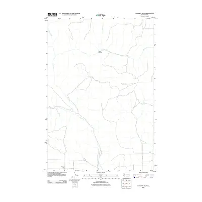
 2011 Lone Pine Butte2011 Print · USGSCovers Klickitat County, including United States, Washington, and other nearby areas
 - 2011 Map of Bickleton NW, 2011 Print
 2011 Bickleton NW2011 Print · USGSCovers Klickitat County, including United States, Washington, and other nearby areas
 - 2011 Map of Dot, 2011 Print
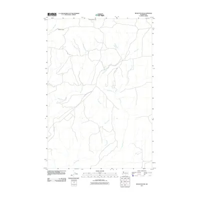
 2011 Dot2011 Print · USGSCovers Klickitat County, including Dot, United States, and other nearby areas
Showing maps 1-25 of 291
Top cities of Klickitat County
- Goldendale historical maps
- White Salmon historical maps
- Bingen historical maps
- Bickleton historical maps
Frequently asked questions
- What are the different types of historical maps available for Klickitat County?
- What is the oldest map of Klickitat County?
- Where can I purchase historical maps of Klickitat County for my home or office?
- Where can I download high-res historical maps of Klickitat County?
- Are there historical topographic maps available for Klickitat County?
- Is there historical aerial imagery available for Klickitat County?
- Where are historical maps of Klickitat County sourced from?