2020s Maps of Klickitat County, Washington
Explore 119 historic maps of Klickitat County from the 2020s. These maps offer a rare glimpse into what life looked like during the 2020s — showing old roads, neighborhoods, homes, and landmarks that have changed or disappeared over time.
Whether you're researching your family's past, planning a metal detecting trip, or studying how Klickitat County's landscape evolved across the 2020s, these high-resolution maps are a powerful tool for exploring the history of this region.
- Focus on a specific era: All maps on this page are from the 2020s, giving you a focused view of this time period.
- See what’s changed: Compare century-old streets, trails, and buildings to today's modern landscape using overlays and satellite layers.
- Research with precision: Use these maps for genealogy, historical research, land use analysis, or educational projects.
- View, download, or print: Maps are fully viewable online in high resolution, and can be downloaded or printed for your own records.
Start exploring Klickitat County's history through authentic maps from the 2020s. This is your window into the past.
Klickitat County, WA maps
(119)- 2020 Map of Dot, 2020 Print
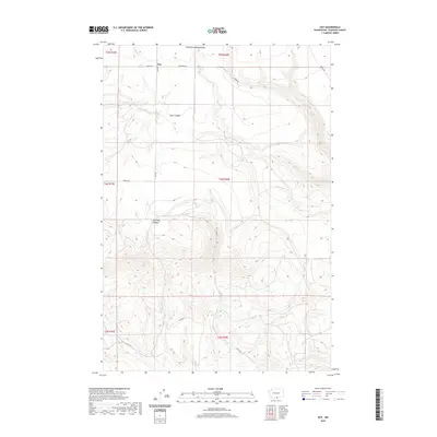 2020 Dot2020 Print · USGSEastern Klickitat County is documented here in the early 2020s, showing the remote settlement patterns of the high plateau. Researchers can trace the rural infrastructure around Dot, from family-named routes like Schrantz Rd to geographic landmarks like Old Lady Canyon.
 - 2020 Map of Sundale, 2020 Print
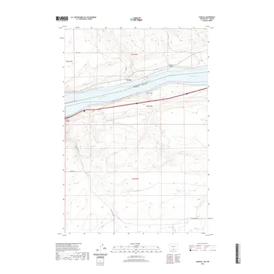 2020 Sundale2020 Print · USGSThe Columbia River frontier at the Washington-Oregon border is captured here in detail during the early twenty-first century. Researchers can trace the steep drainages of Old Lady Canyon and Blalock Canyon as they meet the shoreline at Sundale.
 - 2020 Map of Goodnoe Hills, 2020 Print
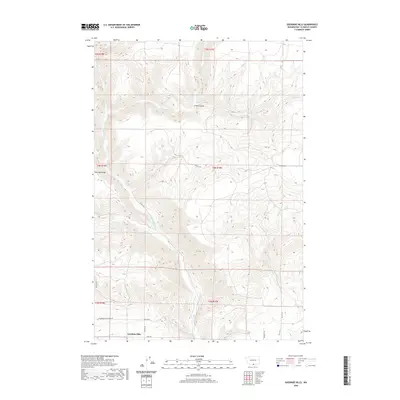 2020 Goodnoe Hills2020 Print · USGSHigh in Klickitat County, this modern survey shows the plateau landscape and deep canyons of southern Washington. Genealogists and local historians can trace family-named routes like Wesley Rd and landmarks such as Harrison Ridge and Glass Canyon.
 - 2020 Map of Satus Pass, 2020 Print
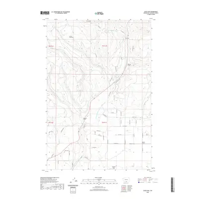 2020 Satus Pass2020 Print · USGSKlickitat County's high ridges and river forks are captured here in the early twenty-first century. Genealogists and hikers can trace remote landmarks like Munson Prairie, the high Satus Pass, and the private Aerostone Ranch Airport.
 - 2020 Map of Golgotha Butte, 2020 Print
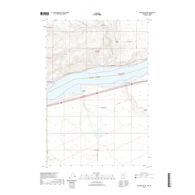 2020 Golgotha Butte2020 Print · USGSThe Columbia River frontier of Klickitat and Morrow counties appears here in the contemporary era. Researchers can trace the waterfront settlements of Alderdale and McCredie or locate the deep incisions of Threemile Canyon and Sixmile Canyon.
 - 2020 Map of Wood Gulch, 2020 Print
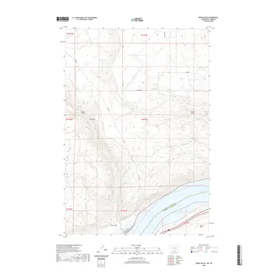 2020 Wood Gulch2020 Print · USGSThe northern bank of the Columbia River comes into sharp focus in this recent survey of the Klickitat County highlands. Researchers can trace the steep geography of Big Horn Canyon and Wood Gulch as they descend toward Lake Umatilla.
 - 2020 Map of Luna Gulch, 2020 Print
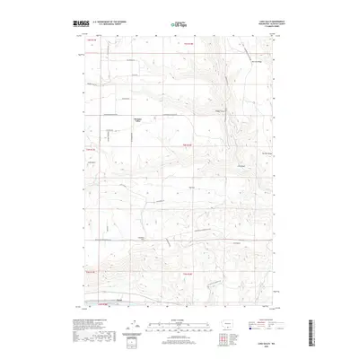 2020 Luna Gulch2020 Print · USGSHigh ridges and riverfront landings in Klickitat County are mapped here in the modern era. Genealogists and local historians can trace family-named routes like Mauroni Ranch Rd and Bill Anderson Rd near the settlement of Pleasant Valley.
 - 2020 Map of Douty Canyon, 2020 Print
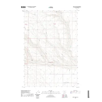 2020 Douty Canyon2020 Print · USGSKlickitat County's high-plateau terrain is documented here in the early twenty-first century, showing a landscape defined by deep canyons and critical springs. Local historians can trace the geography of the Sixprong Cem and named water sources like Hagney Spring and McBride Spring.
 - 2020 Map of Indian Rock, 2020 Print
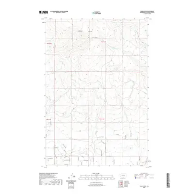 2020 Indian Rock2020 Print · USGSKlickitat County's high country is captured here during the 2020s, showing the intersection of the Simcoe Mountains and modern rural expansion. Researchers can trace land divisions and local landmarks from Indian Rock and Devils Canyon to the residential roads of Wild Horse Ranch Rd.
 - 2020 Map of White Pine Buttes, 2020 Print
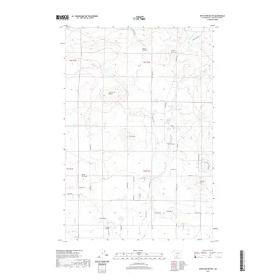 2020 White Pine Buttes2020 Print · USGSKlickitat County’s volcanic plateau is documented in the modern era, showing a landscape defined by prominent peaks and vital water sources. Researchers can trace the ranching and timber geography through White Pine Buttes, Crofton Prairie, and Gilen Water Springs.
 - 2020 Map of Lone Pine Butte, 2020 Print
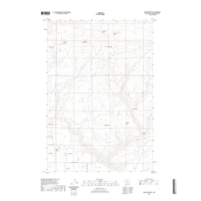 2020 Lone Pine Butte2020 Print · USGSKlickitat County is documented here in the early twenty-first century as a landscape of high ridges and deep canyons. Researchers can trace the legacy of local ranching and settlement through names like Ownby Homestead Rd, Munson Prairie, and Tumwater Butte.
 - 2020 Map of Crider Valley, 2020 Print
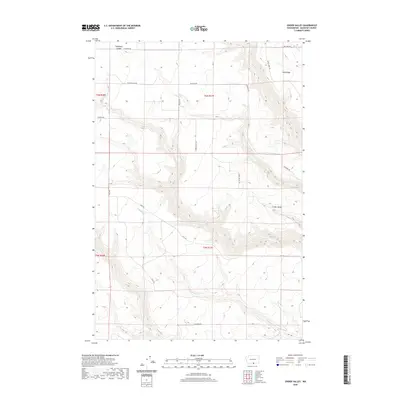 2020 Crider Valley2020 Print · USGSKlickitat County's high-plateau terrain is captured here in the late twenty-teens, showing the intersection of deep canyons and rural ranch roads. Genealogists and historians can trace family land ties along Crider Valley Rd and near Stegeman Canyon.
 - 2020 Map of Bickleton, 2020 Print
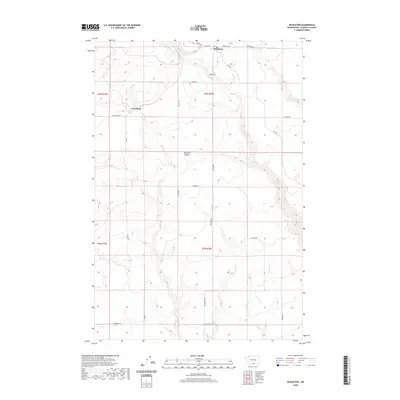 2020 Bickleton2020 Print · USGSBickleton and Cleveland stand as the primary settlements on this high plateau at the start of the 2020s. Researchers can trace the local road network and terrain features like Big Horn Canyon, the PO in Bickleton, and the winding course of Pine Cr.
 - 2020 Map of Canoe Ridge, 2020 Print
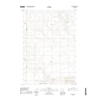 2020 Canoe Ridge2020 Print · USGSBenton and Klickitat counties are captured here in the 2020s, showing a landscape defined by industrial agriculture and high-desert terrain. Local historians can trace the route of Canoe Ridge Rd past the heights of Quarry Butte and Dead Canyon.
 - 2020 Map of Goldendale, 2020 Print
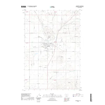 2020 Goldendale2020 Print · USGSGoldendale at the start of the 2020s shows the enduring layout of this Klickitat County seat where the high plateau meets the river. Genealogists and researchers can locate IOOF Mountain View Cem or trace family landmarks like Lorena Butte and the winding Little Klickitat River.
 - 2020 Map of Centerville, 2020 Print
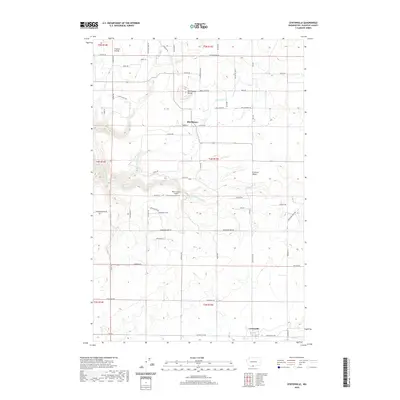 2020 Centerville2020 Print · USGSKlickitat County's high valley ranching and farming lands are captured here in the modern era. Genealogists and local historians can locate specific homestead sites near Centerville, Blockhouse, and landmarks like Blockhouse Butte or the Piper Canyon Airport.
 - 2020 Map of Phinny Hill, 2020 Print
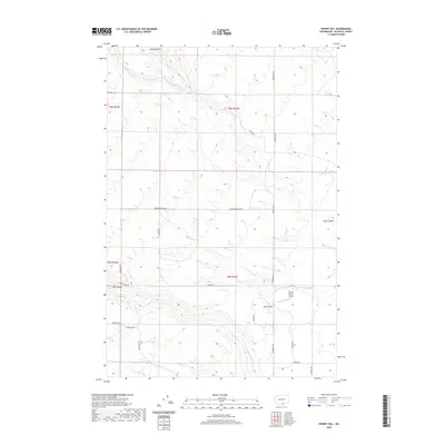 2020 Phinny Hill2020 Print · USGSKlickitat County's high ranchlands are captured here in the early twenty-first century, showing a landscape defined by deep canyons and remote aviation. Researchers can trace land use via Mercer Ranch Airport and the complex drainage of Dead Canyon and Tule Canyon.
 - 2020 Map of Luna Butte, 2020 Print
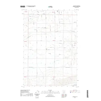 2020 Luna Butte2020 Print · USGSKlickitat County as it appeared in the late 2010s shows a transition from the Columbia River gorge up to the agricultural Klickitat Valley. Researchers can trace old family ranch roads and find landmarks like Luna Butte, Harper Spring, and the Columbia Hills.
 - 2020 Map of Crow Butte, 2020 Print
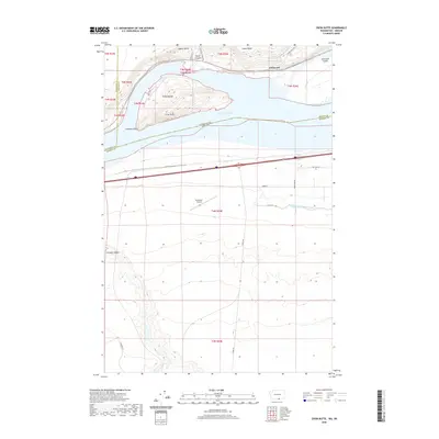 2020 Crow Butte2020 Print · USGSThe Columbia River shoreline near the Washington-Oregon border is captured here during the 2020s. Researchers can trace the development of the river valley through landmarks like Crow Butte, the historic site of Whitcomb, and the Boardman Airport.
 - 2020 Map of Dead Canyon, 2020 Print
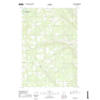 2020 Dead Canyon2020 Print · USGSThe high plateau of Klickitat County is captured here in the contemporary era, where deep canyons meet a legacy of mountain ranching. Researchers can trace historic family-named water sources like Wellenbrock Spring and Kuhnhausen Spring alongside the dramatic drops of Dead Canyon and Skookum Canyon.
 - 2020 Map of Appleton, 2020 Print
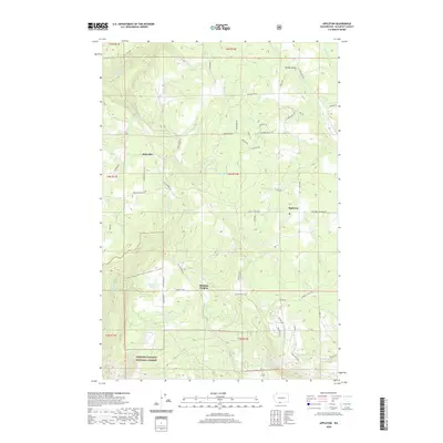 2020 Appleton2020 Print · USGSModern Klickitat County is captured here at the start of the 2020s, showing the settled areas of Appleton and Snowden. Researchers can trace the rural road network and identify family-named water sources like McGowen Spring and Snyder Swale.
 - 2020 Map of Klickitat, 2020 Print
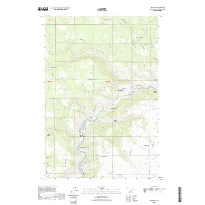 2020 Klickitat2020 Print · USGSSettlement along the Klickitat River is shown here in the 2020s, highlighting the area's transition from timber production to recreation. Map collectors and local historians can trace the canyon landscape from Woodruff Mill down to the riverbank communities of Klickitat and Pitt.
 - 2020 Map of Camas Prairie, 2020 Print
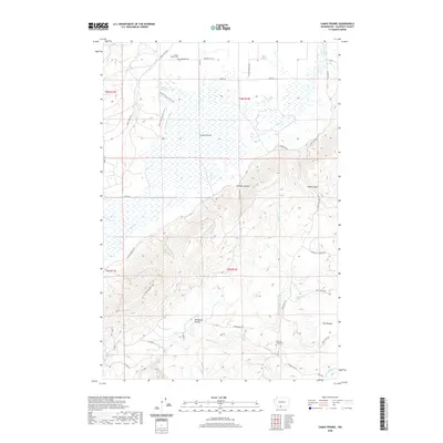 2020 Camas Prairie2020 Print · USGSKlickitat County as it appeared in recent years preserves a landscape of high prairies and canyon drainages. Genealogists and historians can trace family locations through Mount Adams Cem, the Dunkard Graveyard, and old routes like Log Corral Rd.
 - 2020 Map of White Salmon, 2020 Print
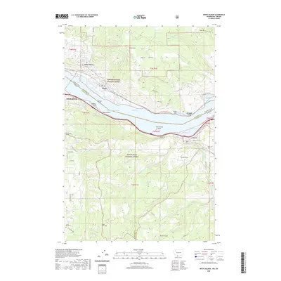 2020 White Salmon2020 Print · USGSThe Columbia River Gorge shoreline and the towns of White Salmon and Mosier are documented in this recent survey. Local researchers can locate family burial sites at Mosier Pioneer Cem or trace the engineering of the Mosier Twin Tunnels.
 - 2020 Map of Grayback Mountain, 2020 Print
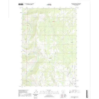 2020 Grayback Mountain2020 Print · USGSKlickitat County's high timberlands and canyon breaks are captured here in the contemporary era. Researchers can trace the rugged transition from the Simcoe Mountains down to the Klickitat River, identifying landmarks like Crofton Prairie and Grayback Mtn.
Showing maps 1-25 of 119
Top cities of Klickitat County
- Goldendale historical maps
- White Salmon historical maps
- Bingen historical maps
- Bickleton historical maps
Frequently asked questions
- What are the different types of historical maps available for Klickitat County?
- What is the oldest map of Klickitat County?
- Where can I purchase historical maps of Klickitat County for my home or office?
- Where can I download high-res historical maps of Klickitat County?
- Are there historical topographic maps available for Klickitat County?
- Is there historical aerial imagery available for Klickitat County?
- Where are historical maps of Klickitat County sourced from?