1960s Maps of Wisconsin
Explore 663 historic maps of Wisconsin from the 1960s. These maps offer a rare glimpse into what life looked like during the 1960s — showing old roads, neighborhoods, homes, and landmarks that have changed or disappeared over time.
Whether you're researching your family's past, planning a metal detecting trip, or studying how Wisconsin's landscape evolved across the 1960s, these high-resolution maps are a powerful tool for exploring the history of this region.
- Focus on a specific era: All maps on this page are from the 1960s, giving you a focused view of this time period.
- See what’s changed: Compare century-old streets, trails, and buildings to today's modern landscape using overlays and satellite layers.
- Research with precision: Use these maps for genealogy, historical research, land use analysis, or educational projects.
- View, download, or print: Maps are fully viewable online in high resolution, and can be downloaded or printed for your own records.
Start exploring Wisconsin's history through authentic maps from the 1960s. This is your window into the past.
Wisconsin maps
- 1960 Map of Iron River
 1960 Iron River1960 Print · USGSThe Upper Peninsula’s western reaches are shown in the late fifties, featuring the industrial infrastructure of the Copper Country and the vast Ottawa National Forest. Researchers can trace the rail lines of the Milwaukee Road through settlements like Bruce Crossing and the White Pine Mine.
 - 1960 Map of Hancock
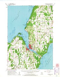
 1960 Hancock1960 Print · USGSThe Keweenaw Peninsula and Isle Royale are captured in detail during the late 1950s. Researchers can trace copper-mining era settlements like Calumet and Laurium, or locate remote maritime landmarks such as the Isle Royale Lighthouse.
 - 1960 Map of Madison
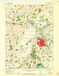
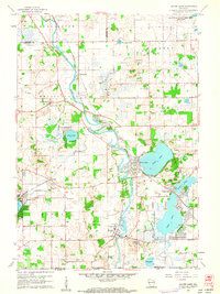
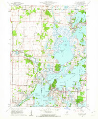
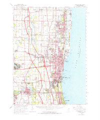
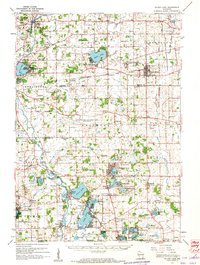
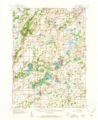
 1960 Madison1960 Print · USGSCentral and Southern Wisconsin are captured in the late fifties, showing the region as its rail-and-river network matured. Trace the paths of the Soo Line RR or locate family roots near Lake Mendota and Horicon National Wildlife Refuge.2 unique versions available
 - 1960 Map of Richland Center, 1961 Print
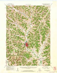 1960 Richland Center1961 Print · USGSRichland County at the start of the sixties reveals a landscape of winding river valleys and ridge-top farms. Genealogists can locate rural landmarks like Fiddlers Green Sch and the Ithaca Cem, or trace the old Milwaukee Road rail line.3 unique versions available
 - 1960 Map of Plain, 1961 Print
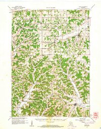 1960 Plain1961 Print · USGSCentral Sauk County and eastern Richland County appear here in the early sixties, characterized by a dense network of hill-country hollows and rural settlements. Family historians can trace rural school districts like Puckertown Sch and Hickory Grove Sch or locate the Our Lady of the Fields Chapel.2 unique versions available
 - 1960 Map of Burlington, 1962 Print
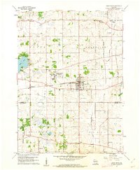
 1960 Burlington1962 Print · USGSBurlington and the Fox River valley are captured here at the start of the 1960s, showing a busy rail crossroads and manufacturing center. Researchers can trace the early layout of Burlington along with rural landmarks like the German Settlement Ch Cem and the Burlington Airfield.3 unique versions available
 - 1960 Map of Silver Lake, 1962 Print
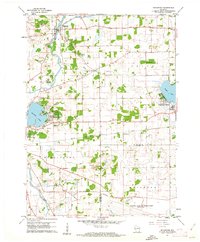
 1960 Silver Lake1962 Print · USGSSouthern Wisconsin at the start of the sixties reveals a landscape of quiet glacial lakes and evolving military footprints. Genealogists and local historians can trace the foundations of Silver Lake and New Munster or explore the massive Richard Bong Air Force Base (Abandoned).3 unique versions available
 - 1960 Map of Fox Lake, 1962 Print
 1960 Fox Lake1962 Print · USGSThe Chain O’Lakes region in the early sixties was a bustling landscape of resort life and growing residential pockets. Trace the layout of settlements like Lotus Woods, locate local landmarks like Wilmot Hills Raceway, and find family-named cemeteries such as Orvis Cem.3 unique versions available
 - 1960 Map of Lake Geneva, 1962 Print
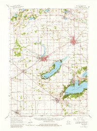
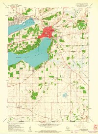 1960 Lake Geneva1962 Print · USGSLake Geneva and its surrounding resort communities are captured at their mid-century peak in this detailed 1960 survey. Genealogists and historians can trace the foundations of local education and faith at Badger High Sch and the Queen of Peace Monastery.3 unique versions available
 - 1960 Map of Zion, 1962 Print
 1960 Zion1962 Print · USGSThe Lake Michigan coast at the turn of the 1960s shows the suburban and industrial expansion of Lake County. Local historians can trace the development of ZION and Winthrop Harbor, from the Jack Benny Jr High Sch to the grounds of Camp Logan and ILLINOIS BEACH STATE PARK.3 unique versions available
 - 1960 Map of Springfield, 1962 Print
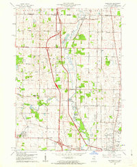
 1960 Springfield1962 Print · USGSWalworth County farm country and the village of Springfield are captured here in the early sixties. Researchers can trace the local Chicago Milwaukee St Paul and Pacific rail line and locate community landmarks like Pallotti Novitiate and Hickory Grove Cem.3 unique versions available
 - 1960 Map of Waukegan, 1962 Print
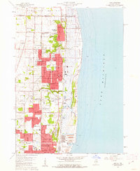
 1960 Waukegan1962 Print · USGSCoastal Lake County thrives in the early sixties as industrial centers and military installations expand along the lakefront. Researchers can locate family landmarks like St Patricks Cem, trace the rail corridors of Rondout, or explore the grounds of St Marys of the Lake Seminary.
 - 1960 Map of Delavan, 1962 Print
 1960 Delavan1962 Print · USGSWalworth County’s lake country is captured here in the early sixties, showing a landscape of summer resorts and established prairie towns. Researchers can locate family landmarks like Hollister Cem or trace the grounds of the Yerkes Observatory and County Fairground.2 unique versions available
 - 1960 Map of Sturgeon Bay, 1962 Print
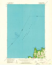
 1960 Sturgeon Bay1962 Print · USGSThe Door County peninsula in the early sixties shows a bustling maritime corridor defined by the Sturgeon Bay ship canal. Researchers can locate numerous vanished country schoolhouses like Hainesville Sch, the Ahnapee and Western rail line, and family landmarks like Monument Point.
 - 1960 Map of Muscoda, 1962 Print
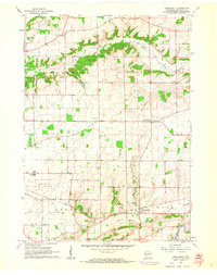
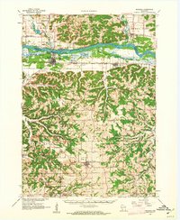 1960 Muscoda1962 Print · USGSThe Wisconsin River valley and the rugged driftless uplands are captured here in the early 1960s. Researchers can trace the path of the Chicago Milwaukee St Paul and Pacific railroad or locate rural landmarks like St John Ch and Strawberry Sch.
 - 1960 Map of Silver Lake, 1962 Print
 1960 Silver Lake1962 Print · USGSKenosha County in the early sixties is captured here as a landscape of rural schoolhouses and emerging mid-century recreation. Trace the footprint of the Richard Bong Air Force Base (Abandoned) or locate local landmarks like the Great Lakes Dragway and Wilmot Hills Raceway.3 unique versions available
 - 1960 Map of Jacksonport, 1962 Print
 1960 Jacksonport1962 Print · USGSThe Door Peninsula shoreline comes alive in the early sixties, showing the vital coastal settlements and inland crossroads that defined the area. Genealogists and local historians can locate family landmarks like the Zion Ch, Fairview Sch, and the Jacksonport Cem.
 - 1960 Map of Wadsworth, 1962 Print
 1960 Wadsworth1962 Print · USGSNortheastern Illinois and the Wisconsin borderlands are captured here during the early years of the tollway era. Genealogists and historians can trace family plots at Mount Rest Cem or locate community centers like Newport Sch and York House Ch.3 unique versions available
 - 1960 Map of Washington Island, 1962 Print
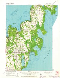
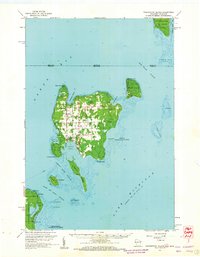 1960 Washington Island1962 Print · USGSDoor County’s northern archipelago appears here in the early sixties, showing the vital maritime connections between the mainland and the island communities. Genealogists and historians can locate Trinity Ch, the remote St Martin Cem, and early landmarks like Pottawatomie Light.2 unique versions available
 - 1960 Map of Algoma, 1962 Print
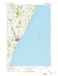 1960 Algoma1962 Print · USGSCoastal Kewaunee County thrived in the early sixties as a network of rail and water centered on the port of Algoma. Researchers can trace old family names and community foundations at Brockhausen Cem, the Kodan School, and along the Ahnapee and Western line.2 unique versions available
 - 1960 Map of Eagle, 1962 Print
 1960 Eagle1962 Print · USGSSoutheast Wisconsin at the start of the 1960s shows a complex network of glacial lakes and bustling rail-stop towns. Genealogists can trace family names at Evergreen Cem and St Paul Cem, or locate rural schoolhouses like Sandy Island Sch.3 unique versions available
 - 1960 Map of Sister Bay, 1962 Print
 1960 Sister Bay1962 Print · USGSThe Door Peninsula's mid-century landscape is defined here by its coastal villages and timbered interiors during the 1960s. Researchers can locate local landmarks like the Settlement School, Boynton Chapel, and the historic Cana Island light.2 unique versions available
 - 1960 Map of Union Grove, 1962 Print
 1960 Union Grove1962 Print · USGSUnion Grove and the surrounding dairy lands of Racine County are captured here in 1960 just as the landscape began to shift. Researchers can locate the Richard Bong Air Force Base (Abandoned), the Great Lakes Dragaway, and several rural schoolhouses like Yorkville Sch.2 unique versions available
 - 1960 Map of Ellison Bay, 1962 Print
 1960 Ellison Bay1962 Print · USGSThe tip of the Door Peninsula in the early sixties reveals a landscape of maritime transit and quiet coastal villages. Genealogists and historians can trace the foundations of Gills Rock, find the Bethel Ch, or locate the Ferry landing near Hedgehog Harbor.2 unique versions available
 - 1960 Map of Rochester, 1962 Print
 1960 Rochester1962 Print · USGSSoutheast Wisconsin's lake country and agricultural plains are shown here in the early sixties, just as the regional landscape was being reshaped by major infrastructure. Genealogists and local historians can locate several country schools like Duckett Sch and trace the expansive perimeter of the Richard Bong Air Force Base (Abandoned).3 unique versions available
Showing maps 1-25
Top cities of Wisconsin
- Milwaukee historical maps
- Madison historical maps
- Green Bay historical maps
- Kenosha historical maps
- Racine historical maps
- Appleton historical maps
See more
Top counties of Wisconsin
- Milwaukee County historical maps
- Dane County historical maps
- Waukesha County historical maps
- Brown County historical maps
- Racine County historical maps
- Outagamie County historical maps
See more
Frequently asked questions
- What are the different types of historical maps available for Wisconsin?
- What is the oldest map of Wisconsin?
- Where can I purchase historical maps of Wisconsin for my home or office?
- Where can I download high-res historical maps of Wisconsin?
- Are there historical topographic maps available for Wisconsin?
- Is there historical aerial imagery available for Wisconsin?
- Where are historical maps of Wisconsin sourced from?