
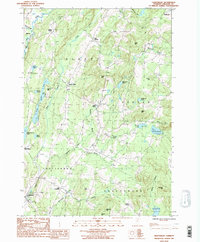
2024 Map of Albany
USGS Topo · Published 2024About this map
Albany and the surrounding highlands of the Lowell Mountains define this landscape in north-central Vermont. The terrain is deeply carved by water, with the East Branch Missisquoi River and Gihon River draining from the high pass at Eden Notch. This area serves as a significant drainage divide, where the Wild Branch and the Black River flow southward toward the Lamoille River watershed. The mapping clearly delineates the rural character of the region, anchored by small settlements and educational institutions like Sterling College.
Find a feature on this map
71 named features on this map. Tap any name to fly to it.
Don’t see what you’re looking for? This feature index may not catch every label — zoom into the map to look around manually.
Map Details
Editions of this 2024 Albany Map
This is the sole edition of this map. No revisions or reprints were ever made.
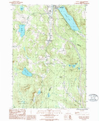
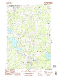
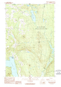
Historical Maps of Albany Through Time
42 maps found

1919 Lake Memphremagog
Orleans County, VT

1920 Derby
Orleans County, VT

1920 Irasburg
Orleans County, VT

1923 Irasburg
Orleans County, VT

1923 Lake Memphremagog
Orleans County, VT

1925 Irasburg
Orleans County, VT

1925 Memphremagog
Orleans County, VT

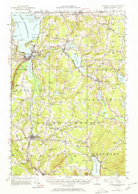
1928 Hardwick
Orleans County, VT

1934 Hardwick
Orleans County, VT
1938 Hardwick
Orleans County, VT

1951 Hardwick
Orleans County, VT
1953 Irasburg
Orleans County, VT
1953 Memphremagog
Orleans County, VT

1978 Beebe Plain Station
Orleans County, VT

1978 Derby Line Port of Entry
Orleans County, VT

1978 East of North Troy Station
Orleans County, VT

1978 North Troy Station
Orleans County, VT

1978 West of Norton Port of Entry
Orleans County, VT

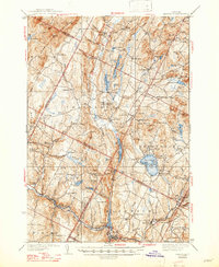
1986 Albany
Orleans County, VT
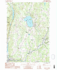
1986 Caspian Lake
Orleans County, VT
1986 Craftsbury
Orleans County, VT
1986 Crystal Lake
Orleans County, VT

1986 Irasburg
Orleans County, VT

1986 Lowell
Orleans County, VT
1986 West Charleston
Orleans County, VT

1986 Westmore
Orleans County, VT
1989 Morgan Center
Orleans County, VT

1989 Mount Mansfield
Orleans County, VT
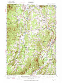
2024 Albany
Orleans County, VT

2024 Caspian Lake
Orleans County, VT

2024 Craftsbury
Orleans County, VT

2024 Crystal Lake
Orleans County, VT

2024 Irasburg
Orleans County, VT

2024 Lowell
Orleans County, VT

2024 Morgan Center OE N
Orleans County, VT

2024 Morgan Center
Orleans County, VT
2024 Newport Center OE N
Orleans County, VT

2024 Newport OE N
Orleans County, VT

2024 North Troy OE N
Orleans County, VT

2024 West Charleston OE N
Orleans County, VT

2024 West Charleston
Orleans County, VT

2024 Westmore
Orleans County, VT