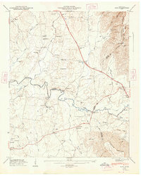
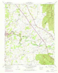
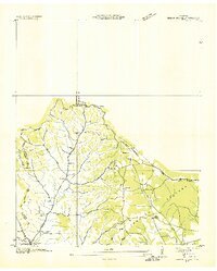
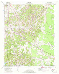
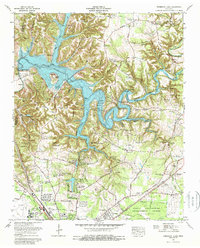
1947 Map of Alto
USGS Topo · Published 1948This historical map portrays the area of Alto in 1947, primarily covering Coffee County as well as portions of Franklin County and Grundy County. Featuring a scale of 1:24000, this map provides a highly detailed snapshot of the terrain, roads, buildings, counties, and historical landmarks in the Alto region at the time. Published in 1948, it is one of 8 known editions of this map due to revisions or reprints.
Find a feature on this map
97 named features on this map. Tap any name to fly to it.
Don’t see what you’re looking for? This feature index may not catch every label — zoom into the map to look around manually.
Map Details
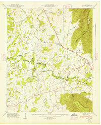
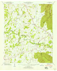
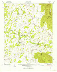
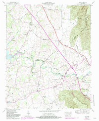
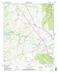
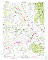
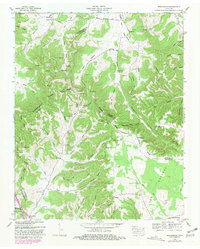
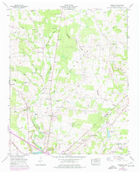
Editions of this 1947 Alto Map
8 editions found
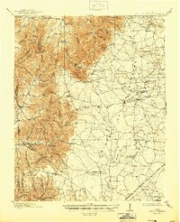
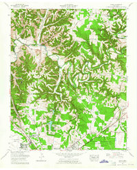
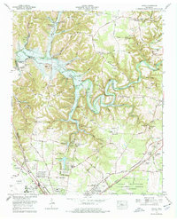
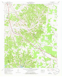
Historical Maps of Wilder Chapel Through Time
15 maps found
1913 Hollow Springs
Coffee County, TN

1936 Alto
Coffee County, TN
1936 Beech Grove
Coffee County, TN

1936 Fredonia
Coffee County, TN

1936 Noah
Coffee County, TN

1936 Ovoca
Coffee County, TN

1941 Ovoca
Coffee County, TN
1947 Alto
Coffee County, TN
1953 Beechgrove
Coffee County, TN
1956 Fredonia
Coffee County, TN
1956 Noah
Coffee County, TN
1962 Ovoca
Coffee County, TN
1972 Ovoca
Coffee County, TN
1976 Noah
Coffee County, TN
1976 Normandy Lake
Coffee County, TN