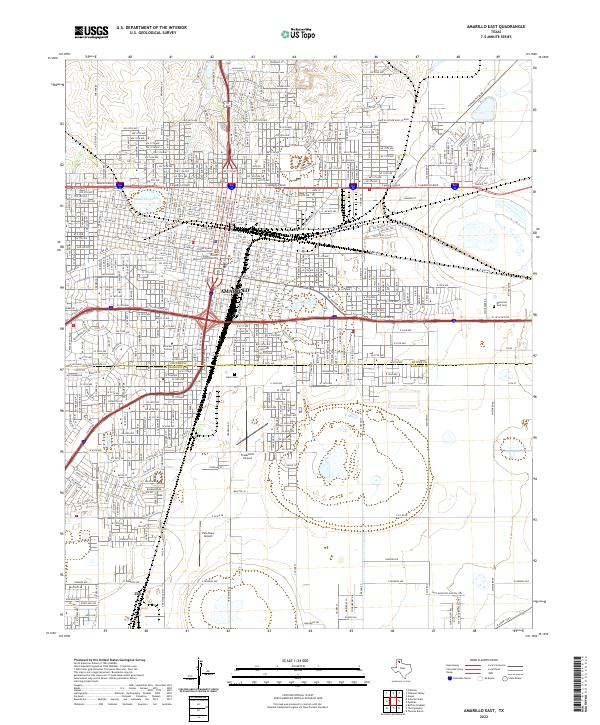
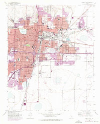
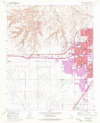
2022 Map of Amarillo East
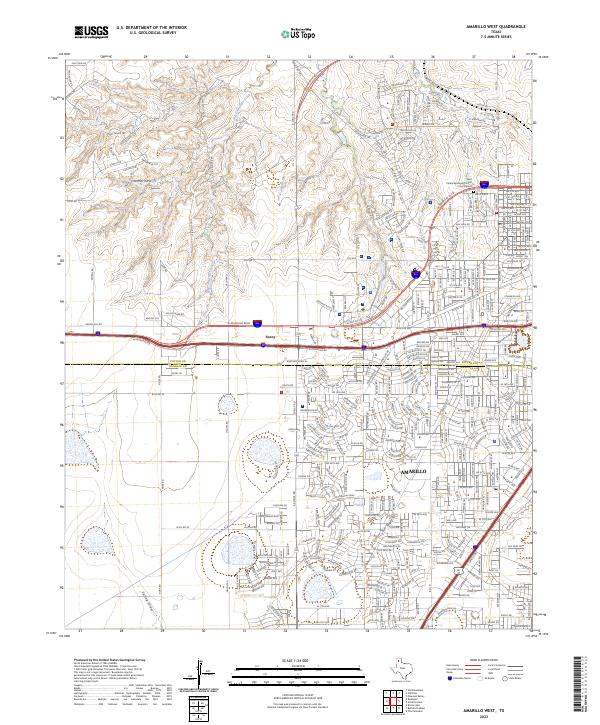
USGS Topo · Published 2022This historical map portrays the area of Amarillo East in 2022, primarily covering Potter County as well as portions of Randall County. Featuring a scale of 1:24000, this map provides a highly detailed snapshot of the terrain, roads, buildings, counties, and historical landmarks in the Amarillo East region at the time. Published in 2022, it is the sole known edition of this map.
Map Details
Editions of this 2022 Amarillo East Map
This is the sole edition of this map. No revisions or reprints were ever made.
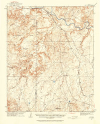
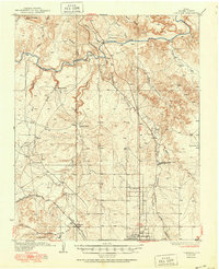
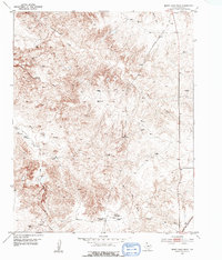
Historical Maps of Amarillo Through Time
36 maps found
1934 Ady
Potter County, TX

1934 Cliffside
Potter County, TX

1936 Ady
Potter County, TX
1936 Cliffside
Potter County, TX

1953 Alibates Ranch
Potter County, TX
1953 Berry Sand Draw
Potter County, TX
1953 Chunky
Potter County, TX
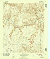
1953 Cliffside
Potter County, TX
1953 Marsh
Potter County, TX
1953 Mayer
Potter County, TX

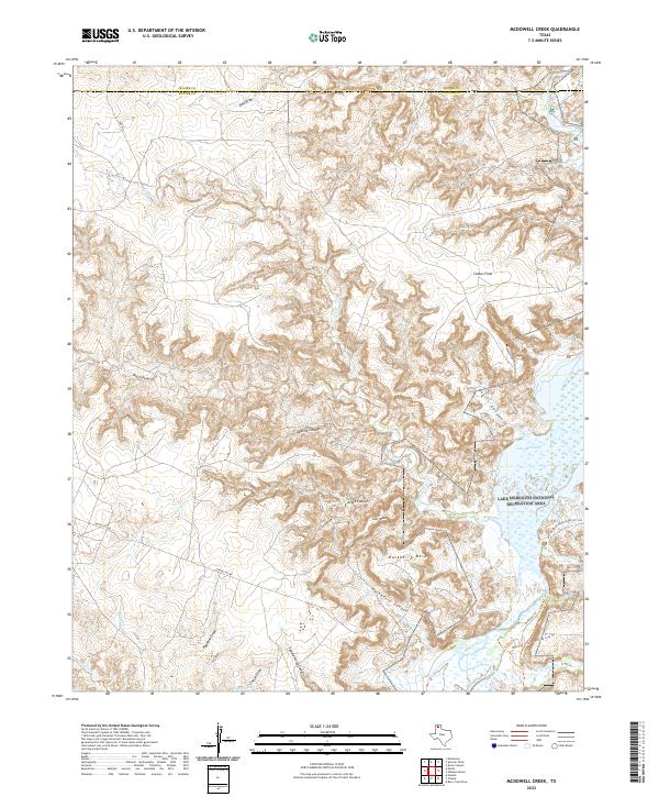
1953 McDowell Creek
Potter County, TX
1953 Pleasant Valley
Potter County, TX
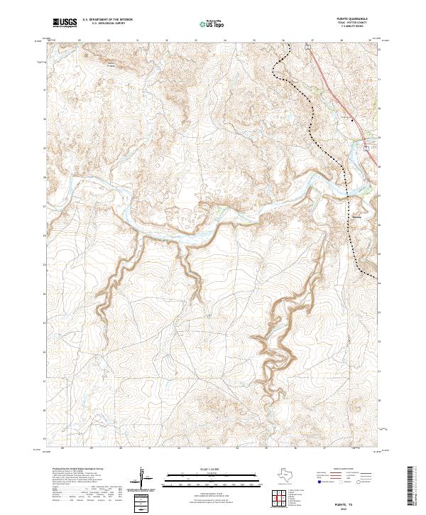
1953 Puente
Potter County, TX
1956 Amarillo East
Potter County, TX
1956 Pullman
Potter County, TX
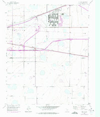
1960 Amarillo West
Potter County, TX

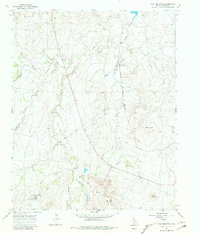
1966 Boden
Potter County, TX
1966 Wolf Mountain
Potter County, TX

1970 Alibates Ranch
Potter County, TX

1970 McDowell Creek
Potter County, TX

1971 Little Indian Creek
Potter County, TX
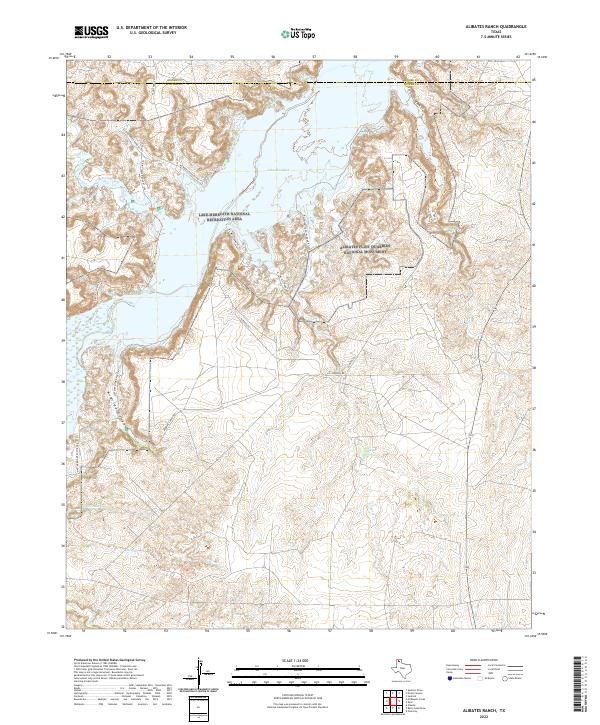
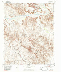
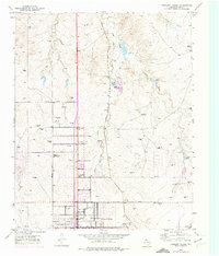
2022 Alibates Ranch
Potter County, TX
2022 Amarillo East
Potter County, TX
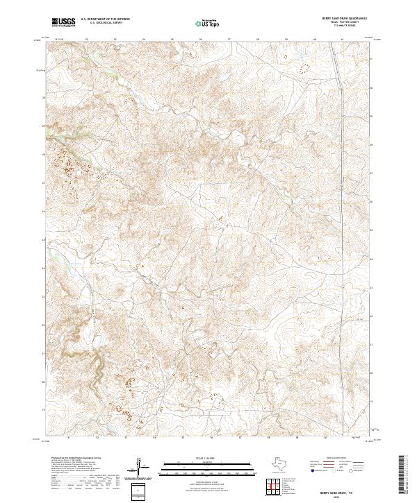
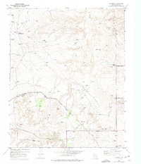
2022 Berry Sand Draw
Potter County, TX

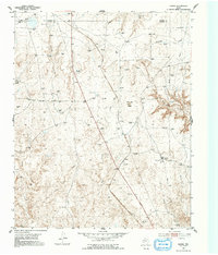
2022 Boden
Potter County, TX
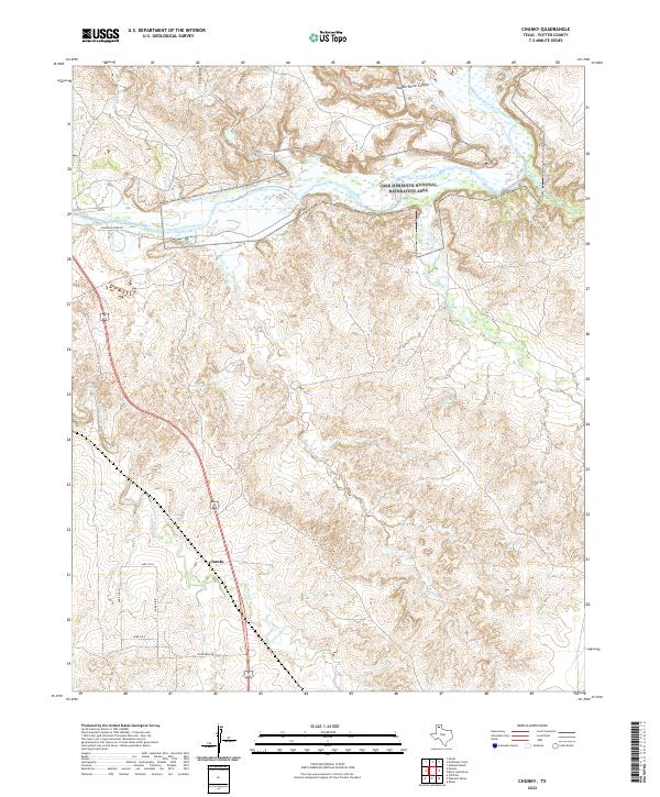
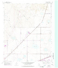
2022 Chunky
Potter County, TX

2022 Cliffside
Potter County, TX
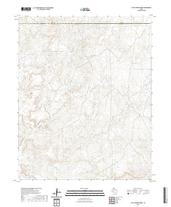
2022 Little Indian Creek
Potter County, TX
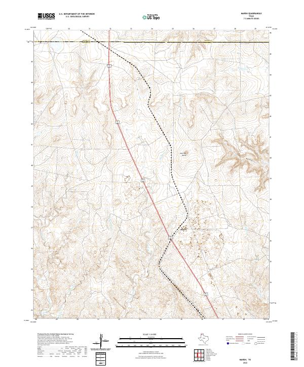
2022 Marsh
Potter County, TX
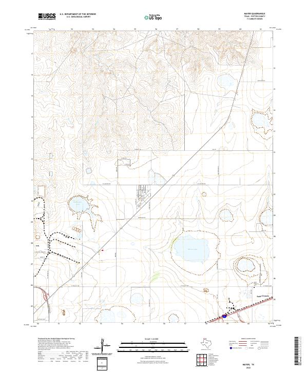
2022 Mayer
Potter County, TX
2022 McDowell Creek
Potter County, TX

2022 Pleasant Valley
Potter County, TX
2022 Puente
Potter County, TX
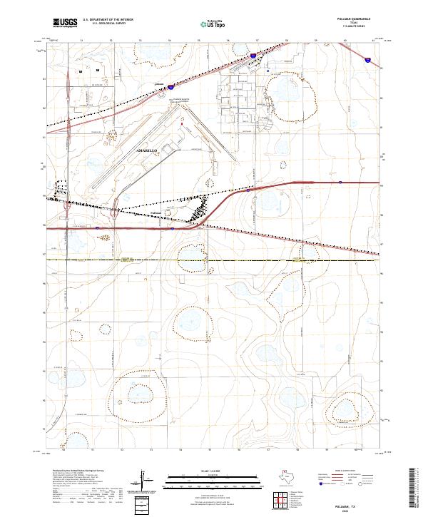
2022 Pullman
Potter County, TX
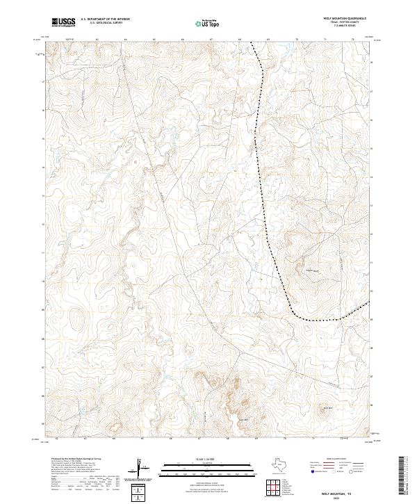
2022 Wolf Mountain
Potter County, TX
2023 Amarillo West
Potter County, TX