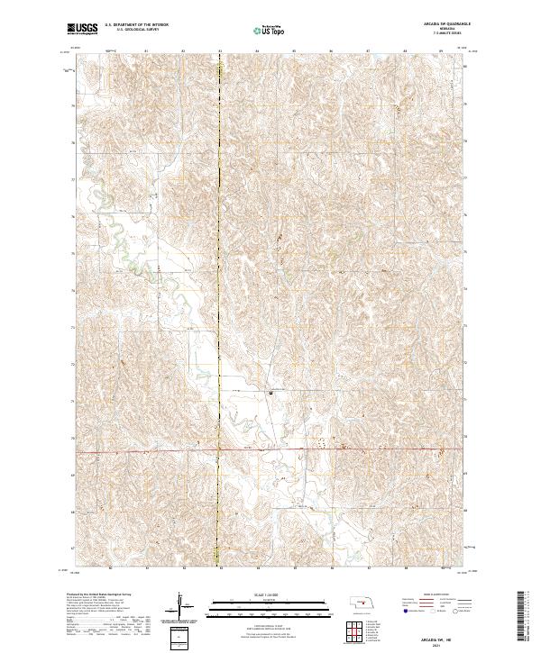
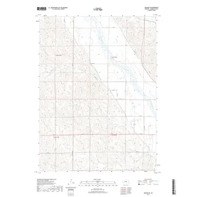
2021 Map of Arcadia SW
USGS Topo · Published 2021About this map
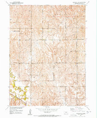
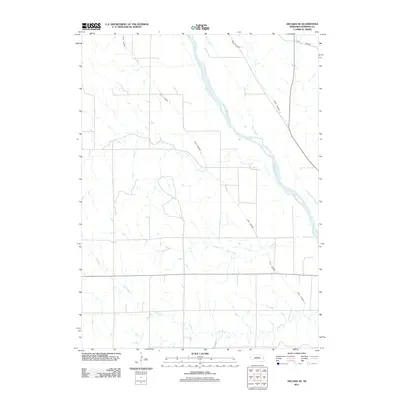
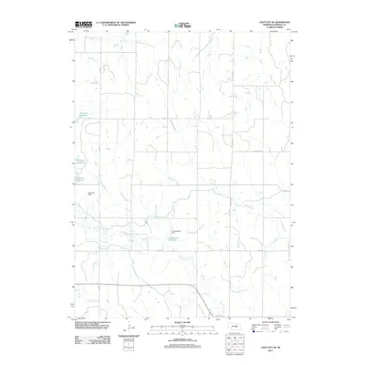
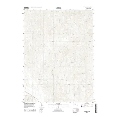
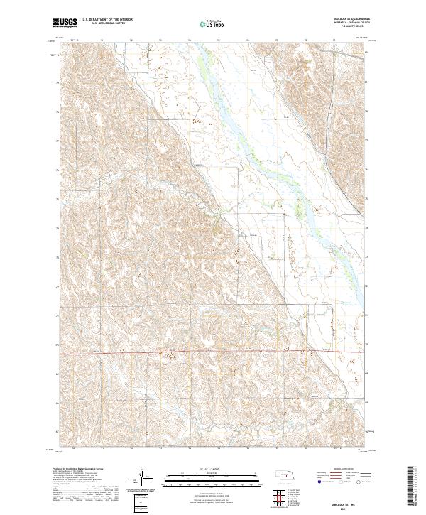
Sherman and Custer Counties meet along a north-south divide in this Nebraska prairie landscape, where the terrain is defined by the winding paths of Clear Cr and Cole Cr. The map reveals a structured grid of rural infrastructure, including 790 Rd and 462 Ave, which navigate the undulating contours of the Central Nebraska loess hills. A significant site for local history and genealogy is Lone Elm Cem, positioned near the center of the sheet. This 2021 survey illustrates the persistent agricultural and township boundaries of the region, specifically marking the transition between t16n r17w and t15n r16w, preserving the spatial relationship between these remote homesteads and their communal landmarks.
Find a feature on this map
25 named features on this map. Tap any name to fly to it.
Don’t see what you’re looking for? This feature index may not catch every label — zoom into the map to look around manually.
Map Details
Editions of this 2021 Arcadia SW Map
This is the sole edition of this map. No revisions or reprints were ever made.
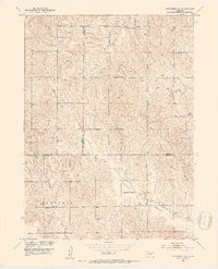
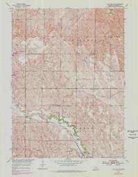
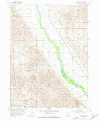
Historical Maps of Sherman County Through Time
31 maps found
1899 Loup
Sherman County, NE
1951 Arcadia SE
Sherman County, NE
1951 Arcadia SW
Sherman County, NE
1951 Litchfield NE
Sherman County, NE
1951 Litchfield SW
Sherman County, NE
1953 Loup City SE
Sherman County, NE
1953 Ravenna NW
Sherman County, NE
2011 Arcadia SE
Sherman County, NE
2011 Arcadia SW
Sherman County, NE
2011 Litchfield NE
Sherman County, NE
2011 Litchfield SW
Sherman County, NE
2011 Loup City SE
Sherman County, NE
2011 Ravenna NW
Sherman County, NE
2014 Arcadia SE
Sherman County, NE
2014 Arcadia SW
Sherman County, NE
2014 Litchfield NE
Sherman County, NE
2014 Litchfield SW
Sherman County, NE
2014 Loup City SE
Sherman County, NE
2014 Ravenna NW
Sherman County, NE
2017 Arcadia SE
Sherman County, NE
2017 Arcadia SW
Sherman County, NE
2017 Litchfield NE
Sherman County, NE
2017 Litchfield SW
Sherman County, NE
2017 Loup City SE
Sherman County, NE
2017 Ravenna NW
Sherman County, NE
2021 Arcadia SE
Sherman County, NE
2021 Arcadia SW
Sherman County, NE
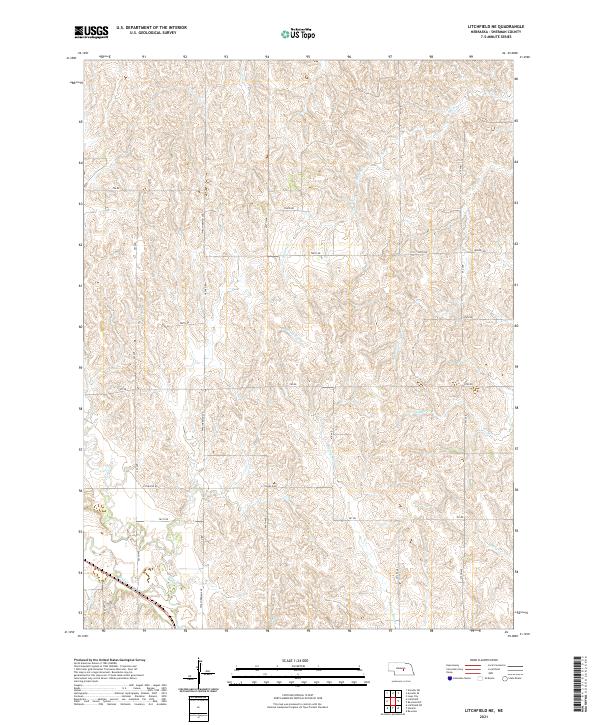
2021 Litchfield NE
Sherman County, NE
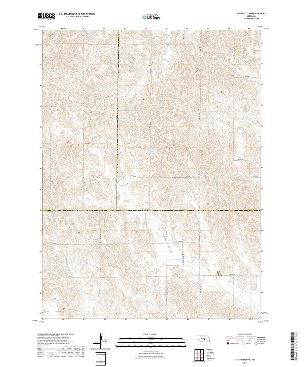
2021 Litchfield SW
Sherman County, NE
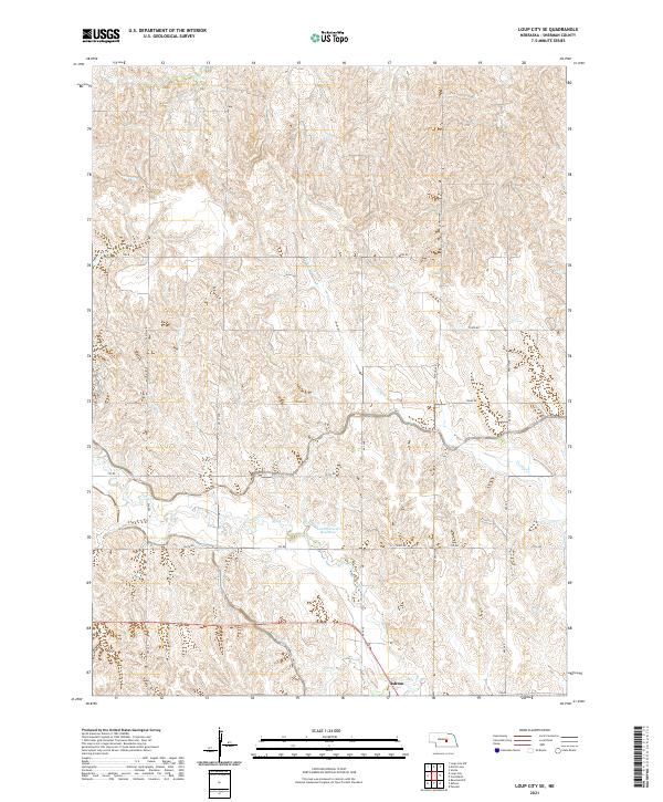
2021 Loup City SE
Sherman County, NE
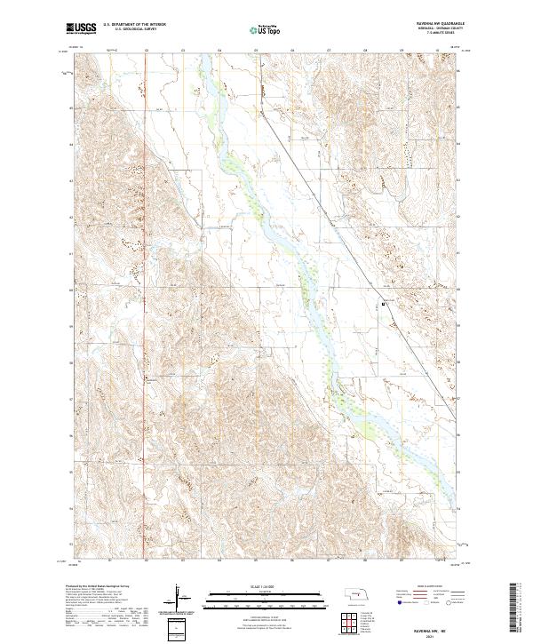
2021 Ravenna NW
Sherman County, NE