2024 Map of Bates
USGS Topo · Published 2024About this map
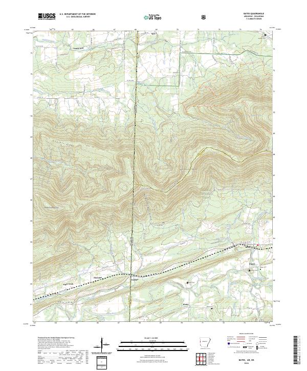
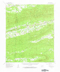
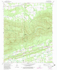
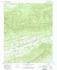
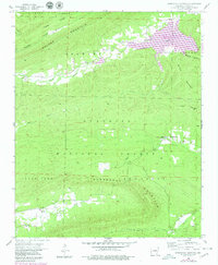
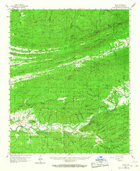
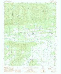
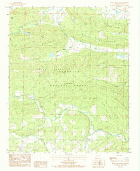
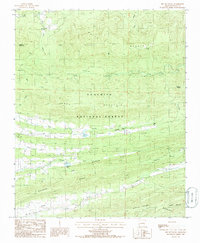
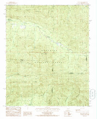
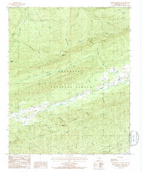
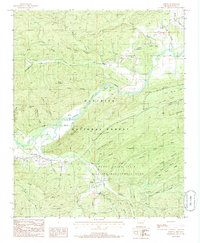
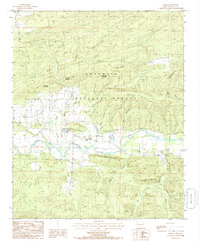
Poteau Mtn dominates this borderland landscape, where the rugged terrain of the Quachita National Forest meets the Arkansas-Oklahoma state line. This survey details a series of small, interconnected settlements including Bates, Coaldale, and Hiawatha, many of which developed around the local geography of the Poteau River and its numerous tributaries like Shadley Creek and Sugar Creek. A clear pattern of rural life and early industry is evident, from the Strip Pit Rd hinting at historical resource extraction near Coaldale to the Mill Race and Trestle Ford that suggest older ways of crossing and utilizing the water. Genealogists will find several burial grounds noted, such as Gipson Cem and Weeks Cem, providing essential markers for families tied to these forest-shrouded communities.
Find a feature on this map
76 named features on this map. Tap any name to fly to it.
Don’t see what you’re looking for? This feature index may not catch every label — zoom into the map to look around manually.
Map Details
Editions of this 2024 Bates Map
This is the sole edition of this map. No revisions or reprints were ever made.
Historical Maps of Apex Through Time
31 maps found

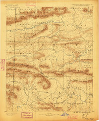
1879 Poteau Mountain
Scott County, AR

1887 Mount Ida #2
Scott County, AR

1887 Poteau Mountain #1
Scott County, AR

1887 Poteau Mountain #2
Scott County, AR
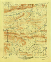
1890 Poteau Mountain
Scott County, AR
1899 Poteau Mountain
Scott County, AR
1948 Abbott
Scott County, AR
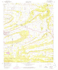
1958 Bates
Scott County, AR
1958 Bates
Scott County, AR
1958 Cauthron
Scott County, AR
1958 Horseshoe Mountain
Scott County, AR
1960 Parks
Scott County, AR
1983 Hon
Scott County, AR
1983 Peanut Mountain
Scott County, AR
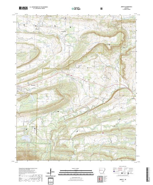
1985 Bee Mountain
Scott County, AR
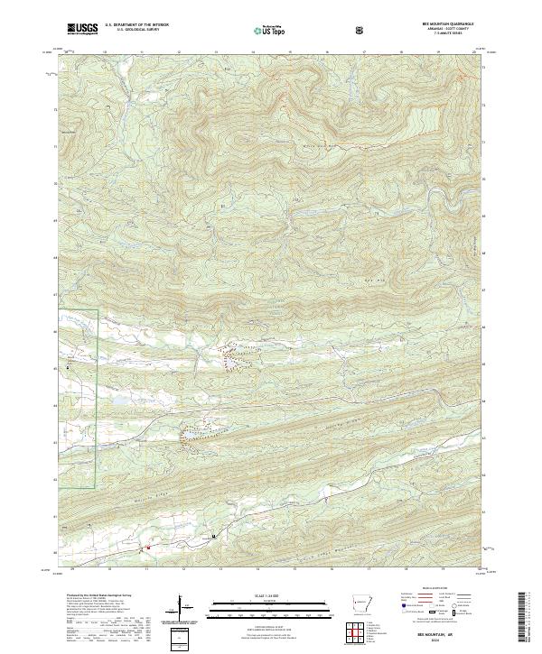
1985 Buck Knob
Scott County, AR
1985 Freedom Mountain
Scott County, AR
1985 Harvey
Scott County, AR
1985 Parks
Scott County, AR
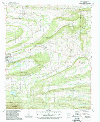
1987 Abbott
Scott County, AR
2024 Abbott
Scott County, AR
2024 Bates
Scott County, AR
2024 Bee Mountain
Scott County, AR
2024 Buck Knob
Scott County, AR
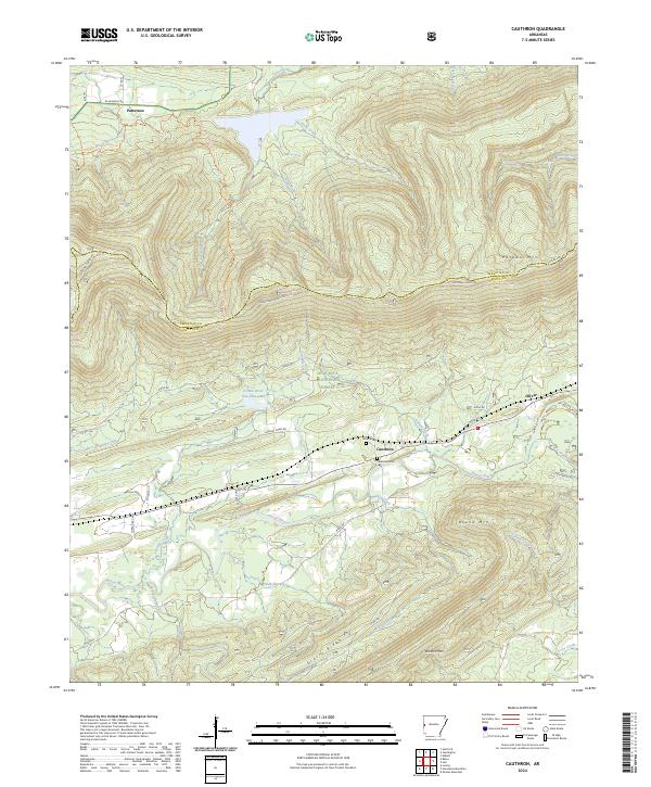
2024 Cauthron
Scott County, AR
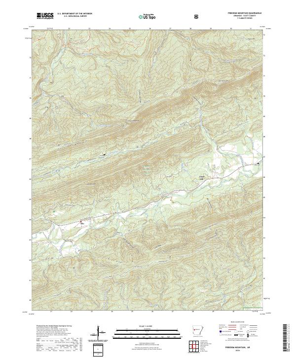
2024 Freedom Mountain
Scott County, AR
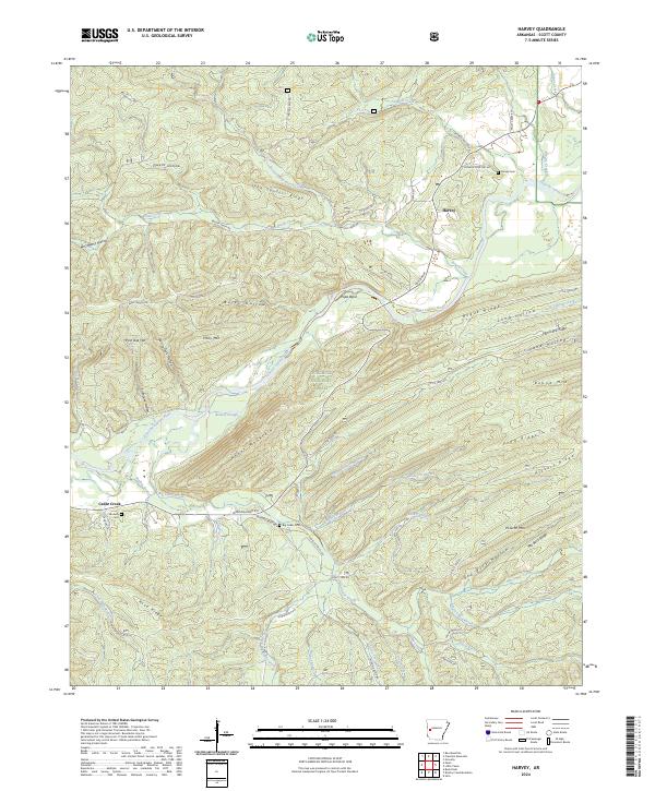
2024 Harvey
Scott County, AR
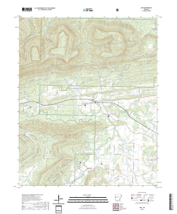
2024 Hon
Scott County, AR
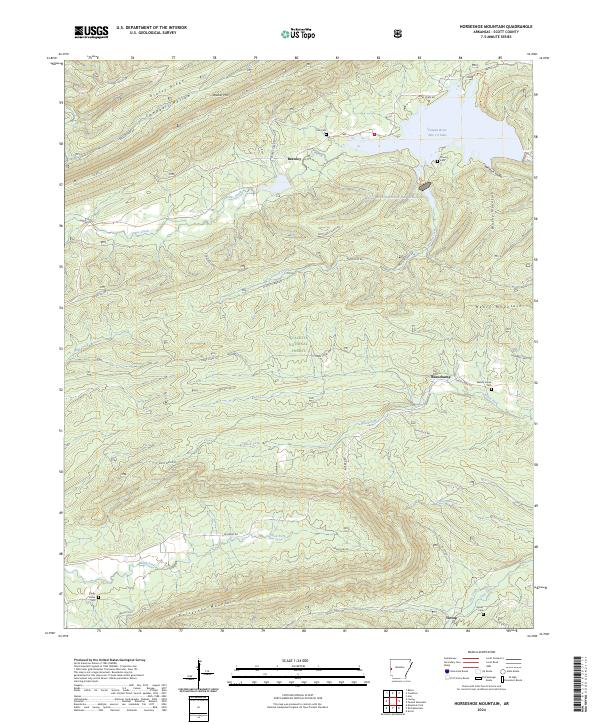
2024 Horseshoe Mountain
Scott County, AR
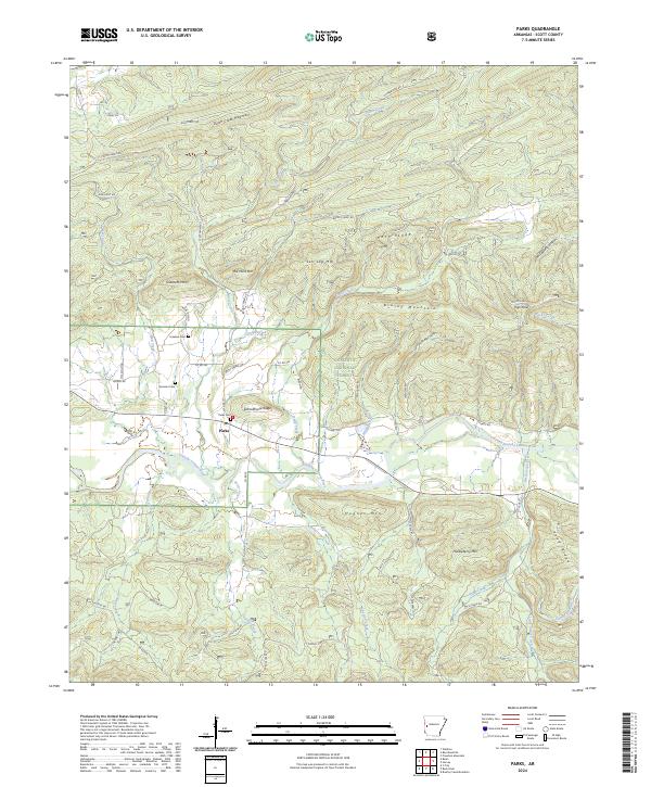
2024 Parks
Scott County, AR
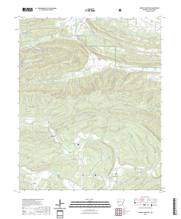
2024 Peanut Mountain
Scott County, AR