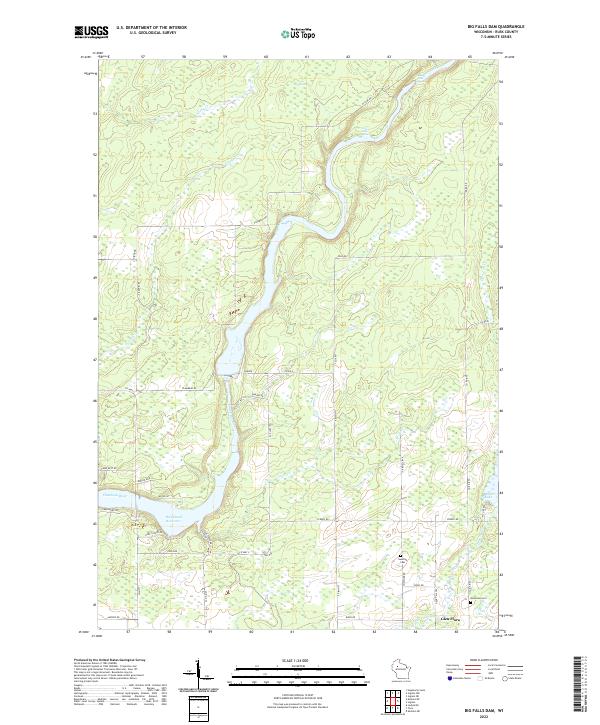
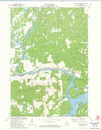
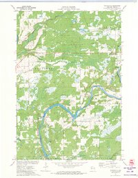
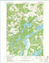
2022 Map of Big Falls Dam
USGS Topo · Published 2022About this map
The Flambeau River carves through this northern Wisconsin landscape, feeding the Dairyland Reservoir and passing natural landmarks like Beaver Dam Rapids and Little Cedar Rapids. This Rusk County terrain is defined by a dense network of local water bodies, including the expansive Big Swamp in the north and smaller features like McGee Lake to the east.
Find a feature on this map
45 named features on this map. Tap any name to fly to it.
Don’t see what you’re looking for? This feature index may not catch every label — zoom into the map to look around manually.
Map Details
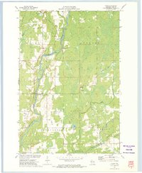
Editions of this 2022 Big Falls Dam Map
This is the sole edition of this map. No revisions or reprints were ever made.
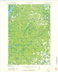
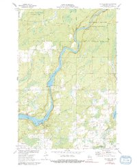
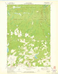
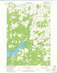
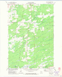
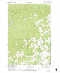
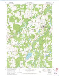
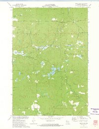
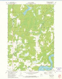
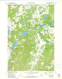
Historical Maps of Dewey Through Time
37 maps found

1945 Ingram
Rusk County, WI
1945 Meteor
Rusk County, WI

1947 Ingram
Rusk County, WI

1948 Weyerhauser
Rusk County, WI

1949 Meteor
Rusk County, WI

1950 Weyerhauser
Rusk County, WI
1970 Jump River Fire Tower NW
Rusk County, WI
1971 Big Falls Dam
Rusk County, WI
1971 Flambeau Ridge
Rusk County, WI
1971 Ingram
Rusk County, WI
1971 Ladysmith SE
Rusk County, WI
1971 Sheldon NE
Rusk County, WI
1971 Thornapple
Rusk County, WI
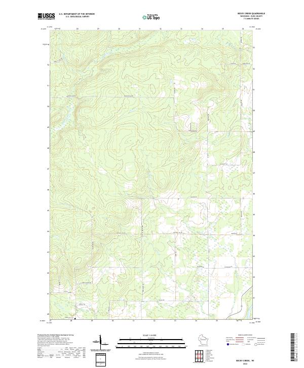
1972 Becky Creek
Rusk County, WI
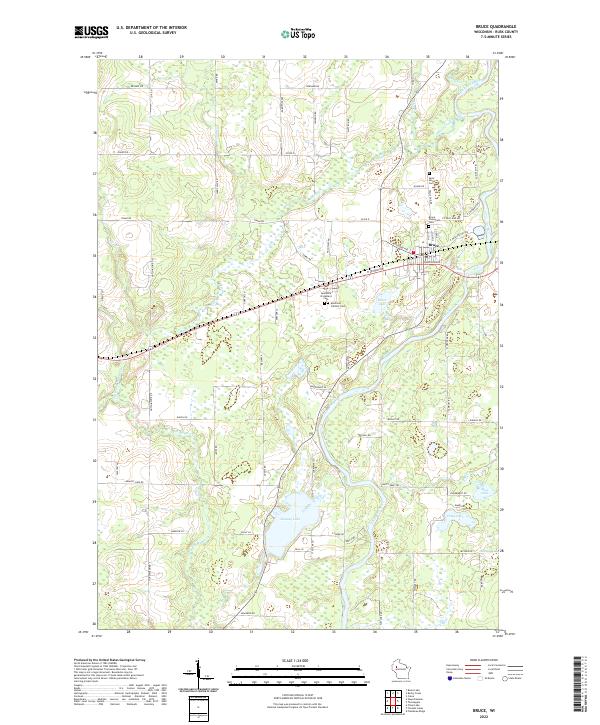
1972 Bruce
Rusk County, WI
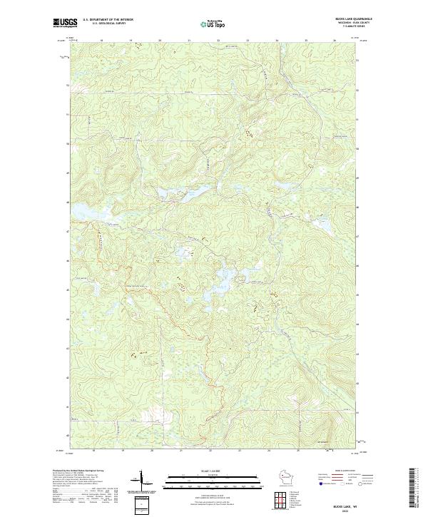
1972 Bucks Lake
Rusk County, WI
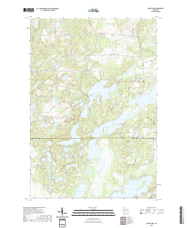
1972 Chain Lake
Rusk County, WI
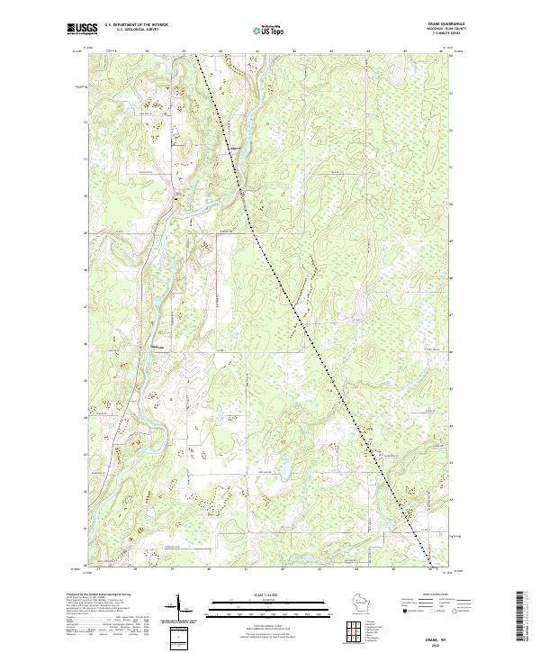
1972 Crane
Rusk County, WI
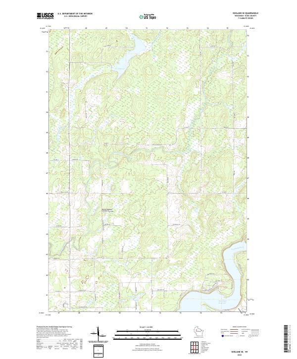
1972 Exeland SE
Rusk County, WI
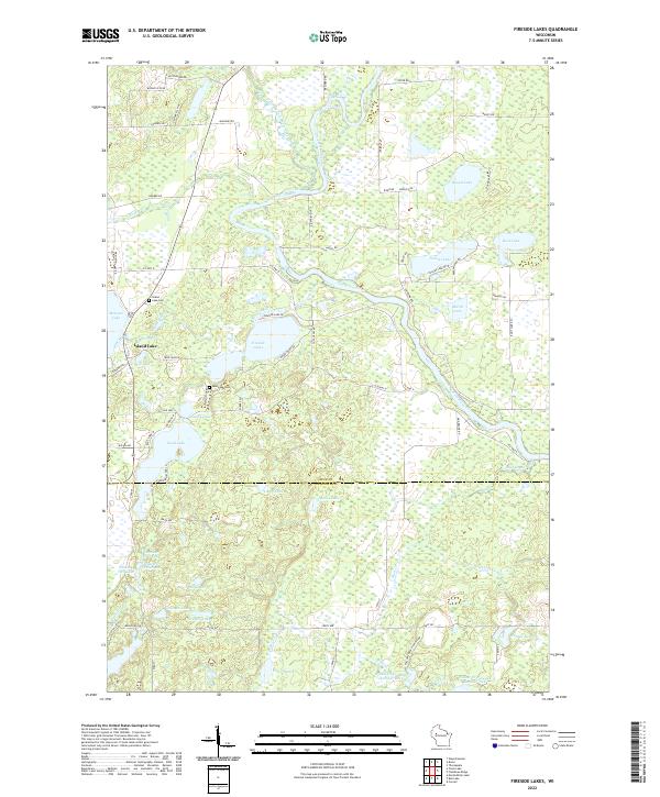
1972 Fireside Lakes
Rusk County, WI
1972 Weyerhauser
Rusk County, WI
2005 Jump River Fire Tower NW
Rusk County, WI
2022 Becky Creek
Rusk County, WI
2022 Big Falls Dam
Rusk County, WI
2022 Bruce
Rusk County, WI
2022 Bucks Lake
Rusk County, WI
2022 Chain Lake
Rusk County, WI
2022 Crane
Rusk County, WI
2022 Exeland SE
Rusk County, WI
2022 Fireside Lakes
Rusk County, WI
2022 Ingram
Rusk County, WI
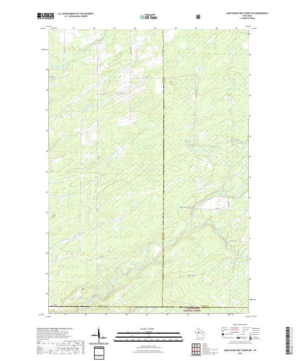
2022 Jump River Fire Tower NW
Rusk County, WI
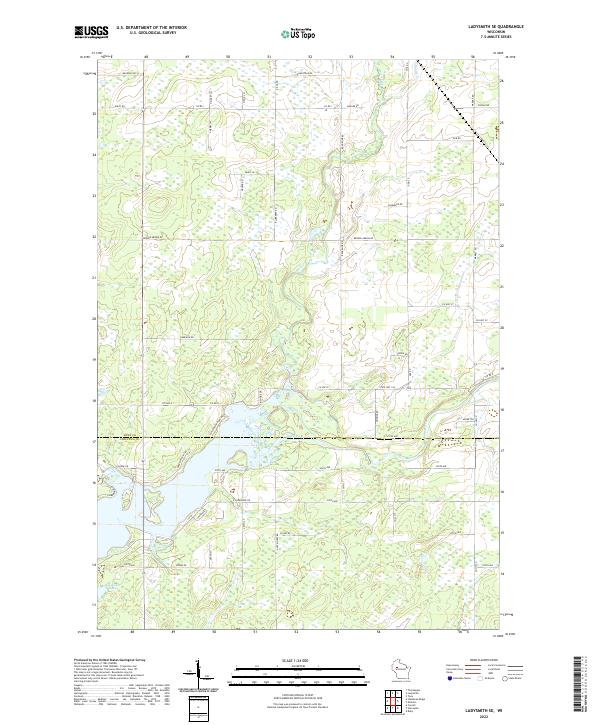
2022 Ladysmith SE
Rusk County, WI
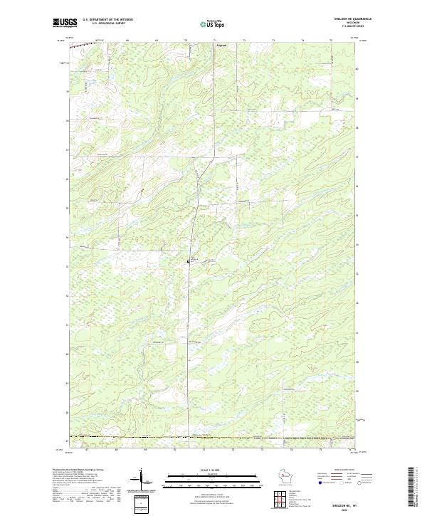
2022 Sheldon NE
Rusk County, WI
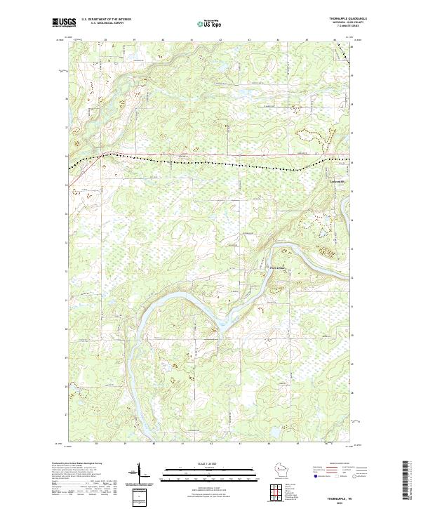
2022 Thornapple
Rusk County, WI
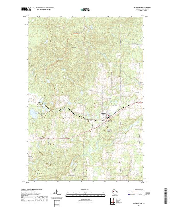
2022 Weyerhaeuser
Rusk County, WI
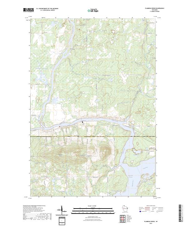
2023 Flambeau Ridge
Rusk County, WI