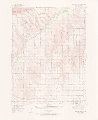
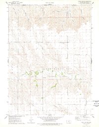
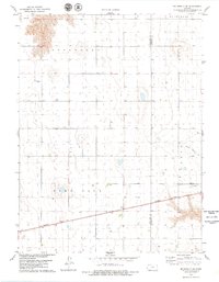
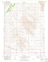
1951 Map of Bird City North
USGS Topo · Published 1951This historical map portrays the area of Bird City North in 1951, primarily covering Cheyenne County. Featuring a scale of 1:62500, this map provides a highly detailed snapshot of the terrain, roads, buildings, counties, and historical landmarks in the Bird City North region at the time. Published in 1951, it is one of 2 known editions of this map due to revisions or reprints.
Find a feature on this map
43 named features on this map. Tap any name to fly to it.
Don’t see what you’re looking for? This feature index may not catch every label — zoom into the map to look around manually.
Map Details
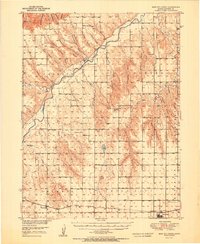
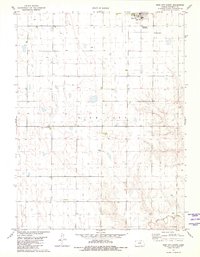
Editions of this 1951 Bird City North Map
2 editions found
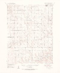
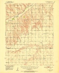
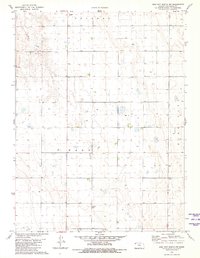
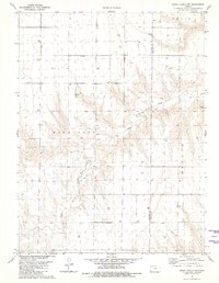
Historical Maps of Cheyenne County Through Time
19 maps found
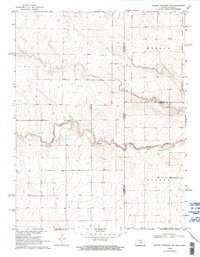
1951 Bird City North
Cheyenne County, KS
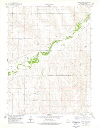
1951 Bird City South
Cheyenne County, KS
1952 St. Francis 3
Cheyenne County, KS
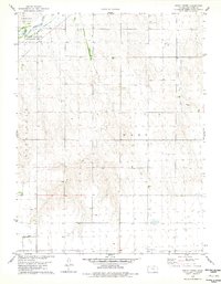
1969 Colony Township NW
Cheyenne County, KS
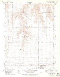
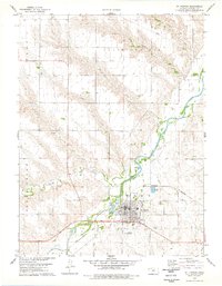
1976 Bird City North
Cheyenne County, KS
1976 Heinzelman Canyon
Cheyenne County, KS
1976 Henkle Canyon
Cheyenne County, KS
1976 White Canyon
Cheyenne County, KS
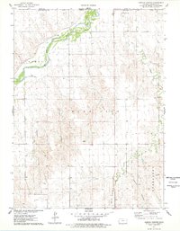
1978 Crosby Creek
Cheyenne County, KS
1978 Drury Creek
Cheyenne County, KS
1978 Mc Donald NW
Cheyenne County, KS
1978 Mc Donald SW
Cheyenne County, KS
1978 St Francis
Cheyenne County, KS
1978 St Francis NW
Cheyenne County, KS
1978 St Francis SW
Cheyenne County, KS
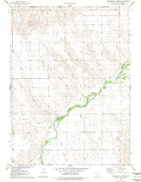
1978 Wheeler
Cheyenne County, KS
1981 Bird City South
Cheyenne County, KS
1981 Bird City South NW
Cheyenne County, KS
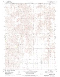
1981 Dewey Ranch NW
Cheyenne County, KS