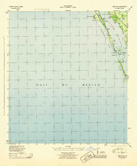
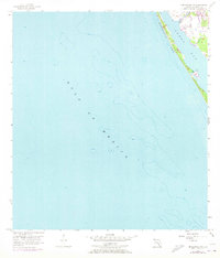
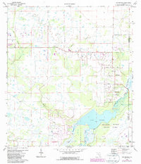
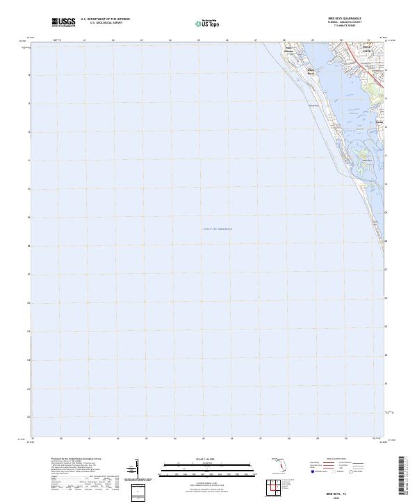
1944 Map of Bird Keys
USGS Topo · Published 1944This historical map portrays the area of Bird Keys in 1944, primarily covering Sarasota County. Featuring a scale of 1:31680, this map provides a highly detailed snapshot of the terrain, roads, buildings, counties, and historical landmarks in the Bird Keys region at the time. Published in 1944, it is one of 2 known editions of this map due to revisions or reprints.
Find a feature on this map
22 named features on this map. Tap any name to fly to it.
Don’t see what you’re looking for? This feature index may not catch every label — zoom into the map to look around manually.
Map Details
Editions of this 1944 Bird Keys Map
2 editions found
Historical Maps of Sarasota County Through Time
22 maps found
1944 Bird Keys
Sarasota County, FL
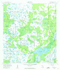
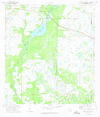
1944 Lower Myakka Lake
Sarasota County, FL
1944 Myakka River
Sarasota County, FL
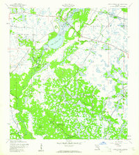
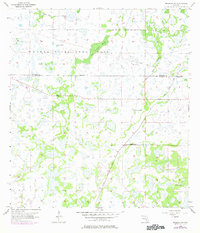
1944 Old Myakka
Sarasota County, FL
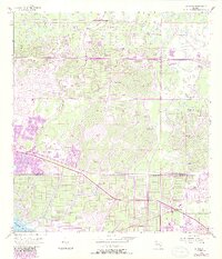
1956 Murdock NW
Sarasota County, FL
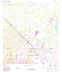
1956 Murdock
Sarasota County, FL
1956 Murdock SE
Sarasota County, FL
1957 Englewood NW
Sarasota County, FL
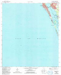
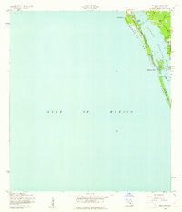
1973 Bird Keys
Sarasota County, FL
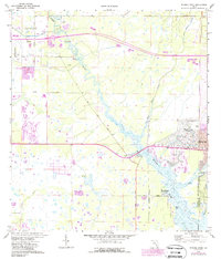
1973 Lower Myakka Lake
Sarasota County, FL
1973 Myakka River
Sarasota County, FL
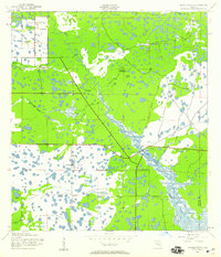
1973 Old Myakka
Sarasota County, FL
1994 Englewood NW
Sarasota County, FL
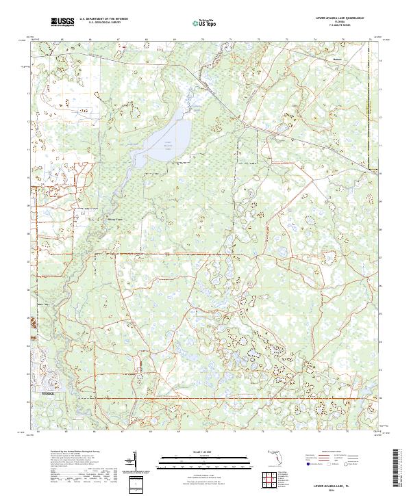
2024 Lower Myakka Lake
Sarasota County, FL
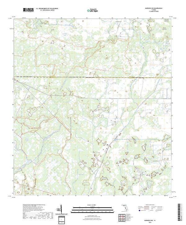
2024 Murdock NW
Sarasota County, FL
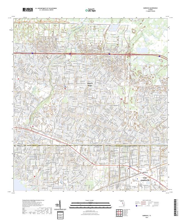
2024 Murdock
Sarasota County, FL
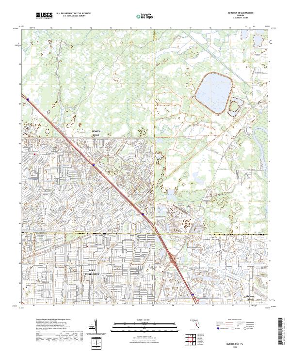
2024 Murdock SE
Sarasota County, FL
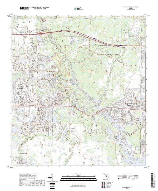
2024 Myakka River
Sarasota County, FL
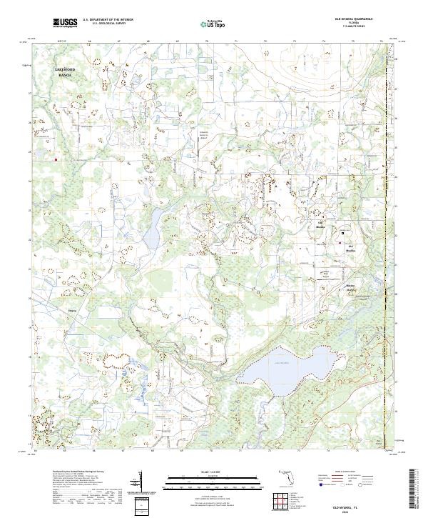
2024 Old Myakka
Sarasota County, FL
2025 Bird Keys
Sarasota County, FL
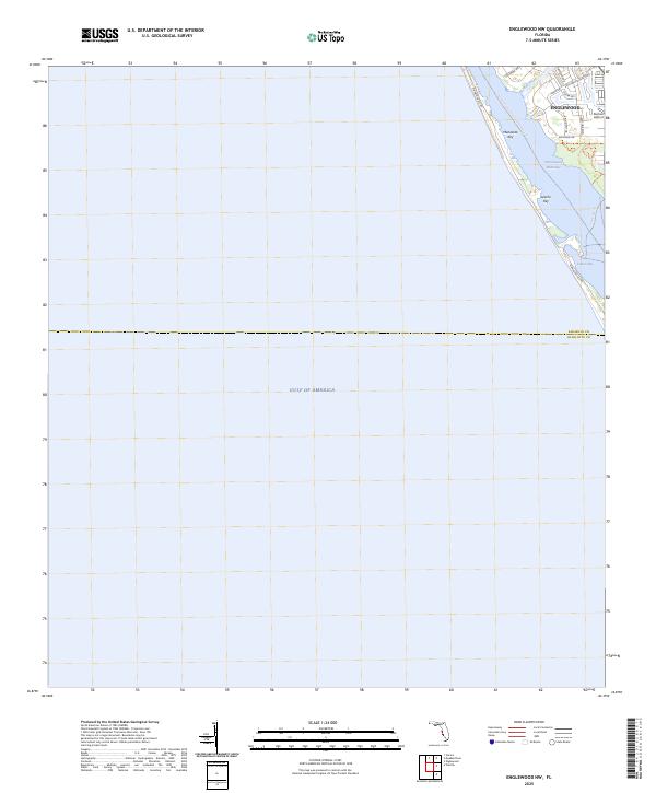
2025 Englewood NW
Sarasota County, FL
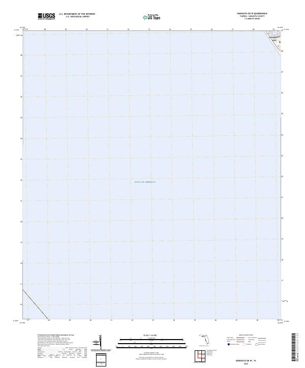
2025 Sarasota OE W
Sarasota County, FL