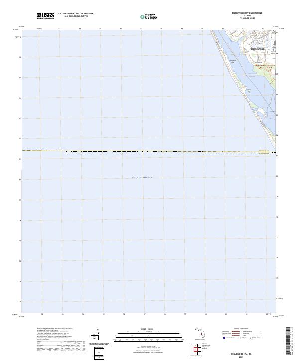
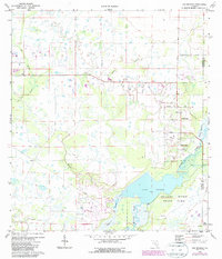
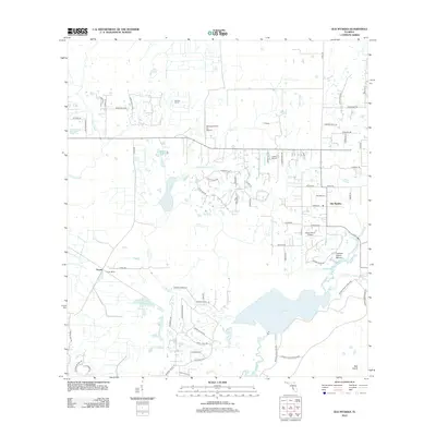
2025 Map of Englewood NW
USGS Topo · Published 2025About this map
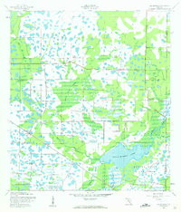
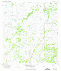
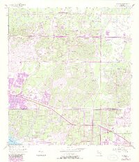
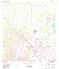
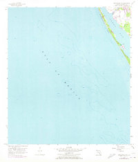
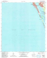
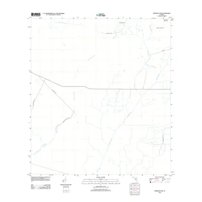
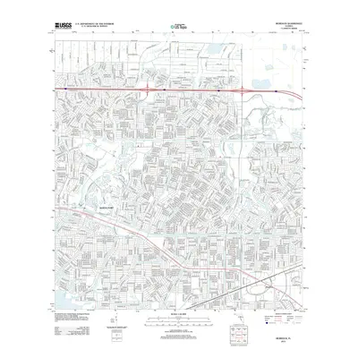
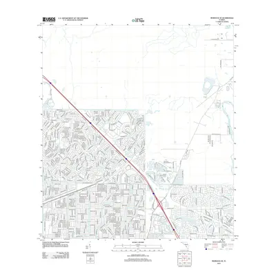
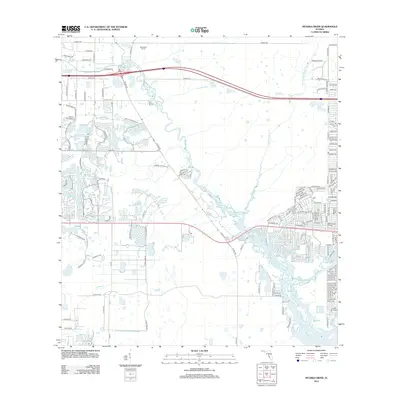
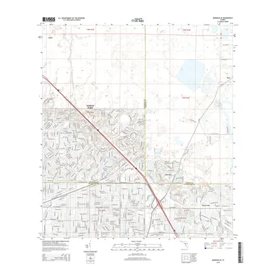
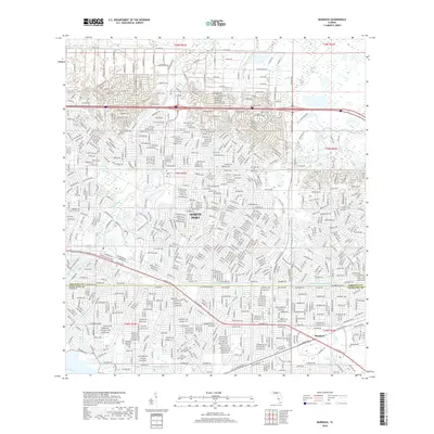
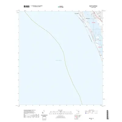
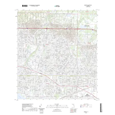
Englewood and the northern reaches of Manasota Key anchor this coastal survey, where the development of the Gulf coast meets the preserved shoreline of Lemon Bay. The map highlights a modern landscape of residential subdivisions like those along Englewood Isles Pkwy and Bayshore Dr, situated against the vital aquatic corridor of the Intracoastal Waterway. This area is characterized by its reliance on the water, featuring the local Buchan Airport and several recreational paths, including the Florida Circumnavigational Paddling Trl and the Lemon Bay Trl within Lemon Bay Park. The boundary between Sarasota Co and Charlotte Co cuts across the southern portion of the sheet, dividing the barrier island and the mainland. Between the residential streets and the open Gulf of America, narrow tidal passages and keys like Leachs Key define the shifting geography of the Florida coast.
Find a feature on this map
22 named features on this map. Tap any name to fly to it.
Don’t see what you’re looking for? This feature index may not catch every label — zoom into the map to look around manually.
Map Details
Editions of this 2025 Englewood NW Map
This is the sole edition of this map. No revisions or reprints were ever made.
Historical Maps of Sarasota County Through Time
62 maps found
1944 Bird Keys
Sarasota County, FL
1944 Lower Myakka Lake
Sarasota County, FL
1944 Myakka River
Sarasota County, FL
1944 Old Myakka
Sarasota County, FL
1956 Murdock NW
Sarasota County, FL
1956 Murdock
Sarasota County, FL
1956 Murdock SE
Sarasota County, FL
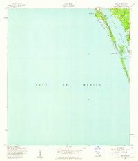
1957 Englewood NW
Sarasota County, FL
1973 Bird Keys
Sarasota County, FL
1973 Lower Myakka Lake
Sarasota County, FL
1973 Myakka River
Sarasota County, FL
1973 Old Myakka
Sarasota County, FL
1994 Englewood NW
Sarasota County, FL
2012 Bird Keys
Sarasota County, FL
2012 Englewood NW
Sarasota County, FL

2012 Lower Myakka Lake
Sarasota County, FL
2012 Murdock NW
Sarasota County, FL
2012 Murdock
Sarasota County, FL
2012 Murdock SE
Sarasota County, FL
2012 Myakka River
Sarasota County, FL
2012 Old Myakka
Sarasota County, FL

2012 Sarasota OE W
Sarasota County, FL
2015 Bird Keys
Sarasota County, FL

2015 Englewood NW
Sarasota County, FL

2015 Lower Myakka Lake
Sarasota County, FL
2015 Murdock NW
Sarasota County, FL
2015 Murdock
Sarasota County, FL
2015 Murdock SE
Sarasota County, FL
2015 Myakka River
Sarasota County, FL
2015 Old Myakka
Sarasota County, FL

2015 Sarasota OE W
Sarasota County, FL
2018 Bird Keys
Sarasota County, FL

2018 Englewood NW
Sarasota County, FL

2018 Lower Myakka Lake
Sarasota County, FL

2018 Murdock NW
Sarasota County, FL
2018 Murdock
Sarasota County, FL
2018 Murdock SE
Sarasota County, FL
2018 Myakka River
Sarasota County, FL
2018 Old Myakka
Sarasota County, FL

2018 Sarasota OE W
Sarasota County, FL
2021 Bird Keys
Sarasota County, FL

2021 Englewood NW
Sarasota County, FL

2021 Lower Myakka Lake
Sarasota County, FL
2021 Murdock NW
Sarasota County, FL
2021 Murdock
Sarasota County, FL
2021 Murdock SE
Sarasota County, FL

2021 Myakka River
Sarasota County, FL

2021 Old Myakka
Sarasota County, FL

2021 Sarasota OE W
Sarasota County, FL
2023 Murdock
Sarasota County, FL
2024 Bird Keys
Sarasota County, FL

2024 Englewood NW
Sarasota County, FL
2024 Lower Myakka Lake
Sarasota County, FL
2024 Murdock NW
Sarasota County, FL
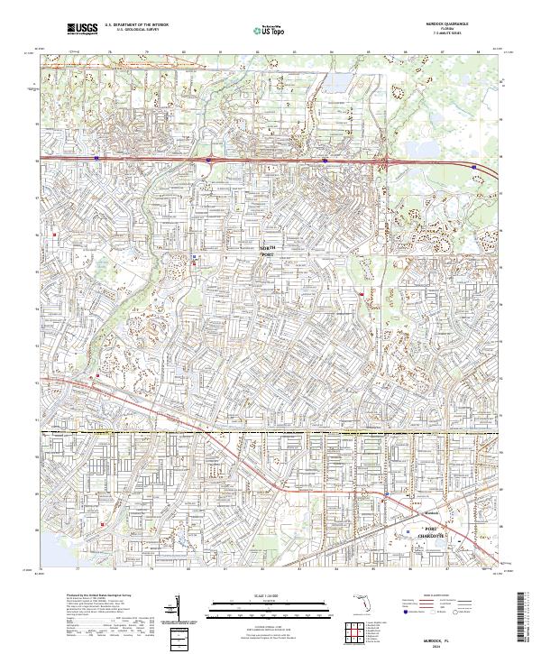
2024 Murdock
Sarasota County, FL
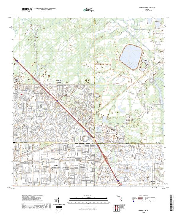
2024 Murdock SE
Sarasota County, FL
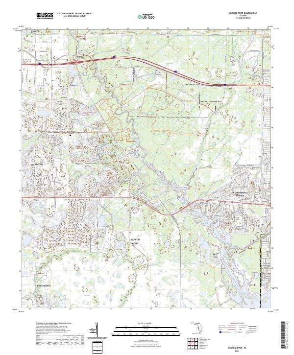
2024 Myakka River
Sarasota County, FL
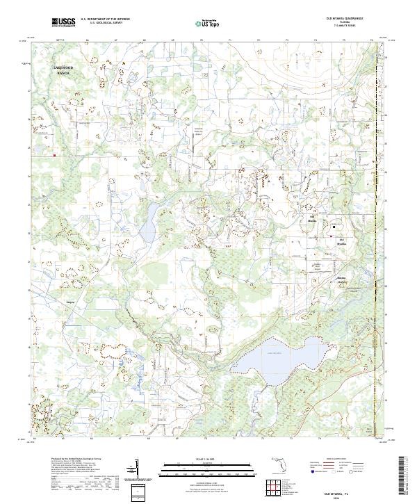
2024 Old Myakka
Sarasota County, FL

2024 Sarasota OE W
Sarasota County, FL
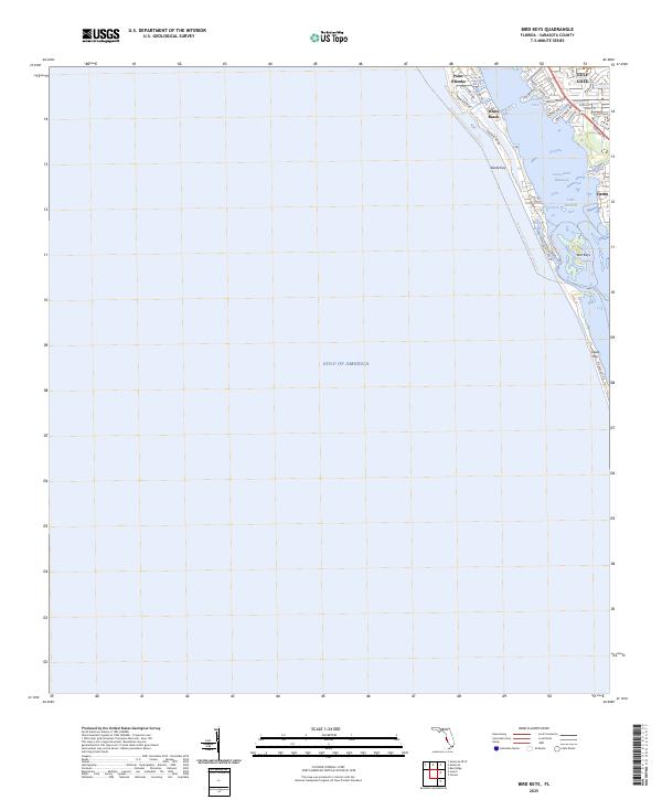
2025 Bird Keys
Sarasota County, FL
2025 Englewood NW
Sarasota County, FL
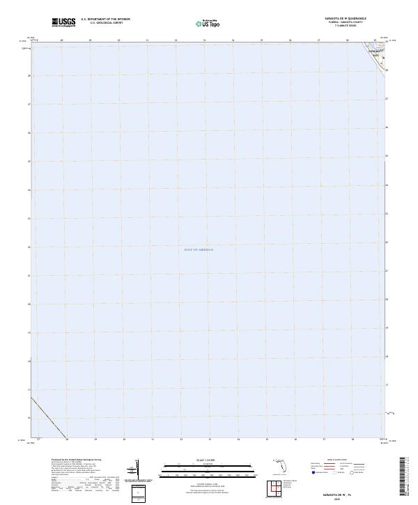
2025 Sarasota OE W
Sarasota County, FL