
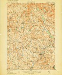
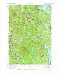
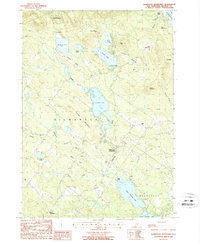
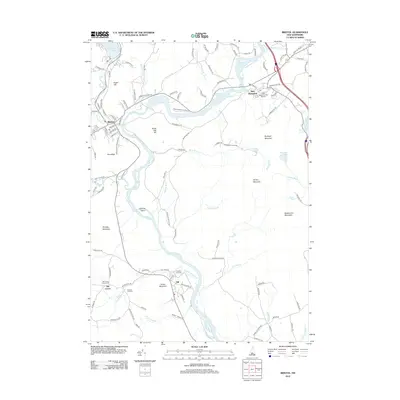
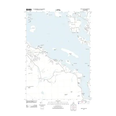
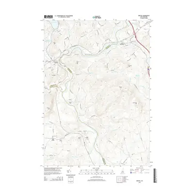
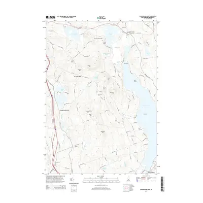
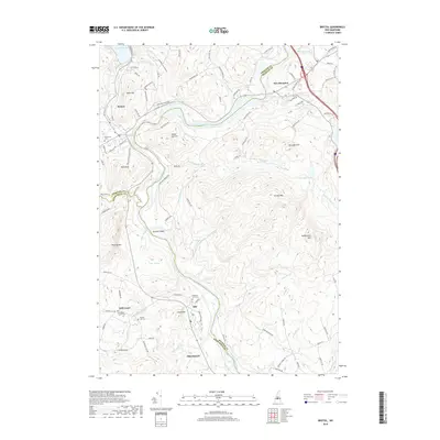
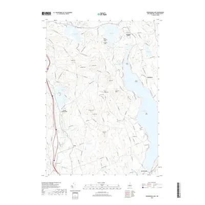
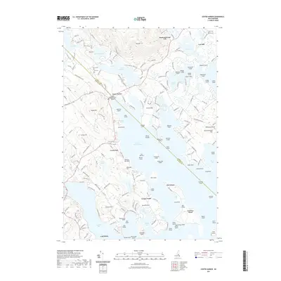
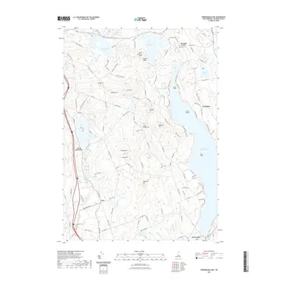
1987 Map of Bristol
USGS Topo · Published 1987About this map
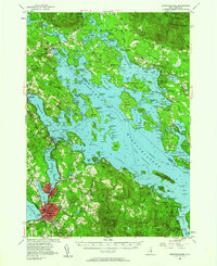
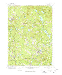
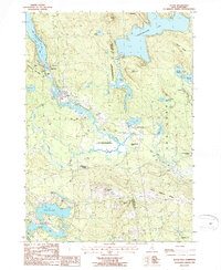
The Pemigewasset River winds south through the heart of this central New Hampshire landscape, marking the county boundaries between Grafton, Belknap, and Merrimack counties. The town of Bristol serves as a primary hub, situated where the Newfound River flows from Newfound Lake toward its confluence with the larger river system. To the west and south, the terrain becomes increasingly complex around Periwig Mountain and Huses Mountain, where smaller settlements like Hill Center and Hill are connected by a network of rural roads and brooks.
Find a feature on this map
57 named features on this map. Tap any name to fly to it.
Don’t see what you’re looking for? This feature index may not catch every label — zoom into the map to look around manually.
Map Details
Editions of this 1987 Bristol Map
This is the sole edition of this map. No revisions or reprints were ever made.
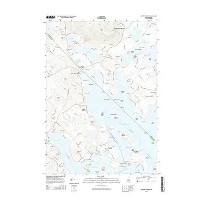
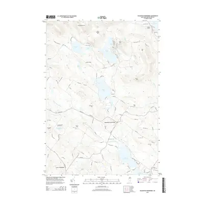
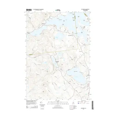
Historical Maps of Franklin Through Time
58 maps found
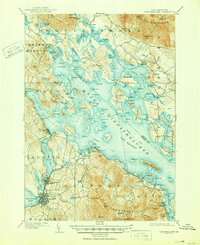
1909 Winnipesaukee
Belknap County, NH
1919 Gilmanton
Belknap County, NH

1925 Holderness
Belknap County, NH
1927 Gilmanton
Belknap County, NH
1927 Holderness
Belknap County, NH
1956 Holderness
Belknap County, NH
1956 Winnipesaukee
Belknap County, NH
1957 Gilmanton
Belknap County, NH
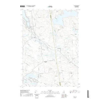
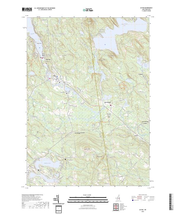
1987 Alton
Belknap County, NH

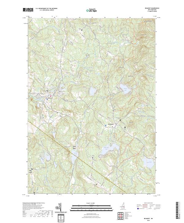
1987 Belmont
Belknap County, NH
1987 Bristol
Belknap County, NH

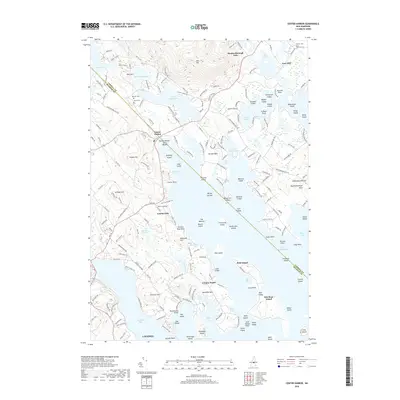
1987 Center Harbor
Belknap County, NH
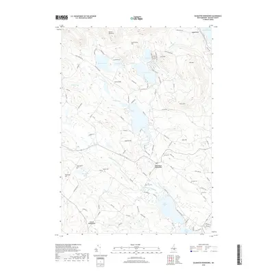
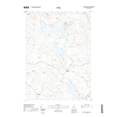
1987 Gilmanton Ironworks
Belknap County, NH

1987 Holderness
Belknap County, NH
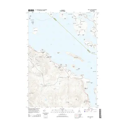
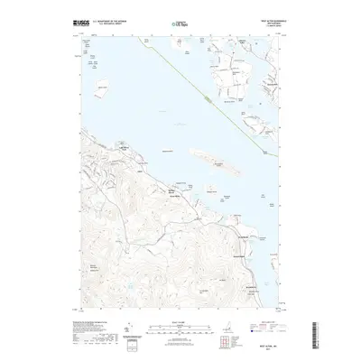
1987 West Alton
Belknap County, NH

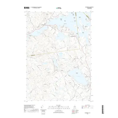
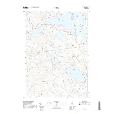
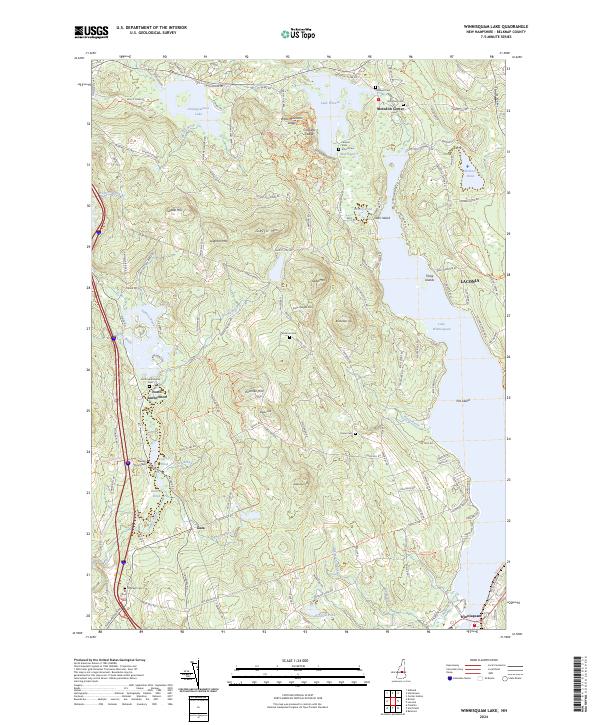
1987 Winnisquam Lake
Belknap County, NH

1998 Center Harbor
Belknap County, NH

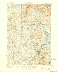
2000 Bristol
Belknap County, NH
2012 Alton
Belknap County, NH
2012 Belmont
Belknap County, NH
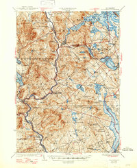
2012 Bristol
Belknap County, NH
2012 Center Harbor
Belknap County, NH
2012 Gilmanton Ironworks
Belknap County, NH
2012 Holderness
Belknap County, NH
2012 West Alton
Belknap County, NH
2012 Winnisquam Lake
Belknap County, NH
2015 Alton
Belknap County, NH
2015 Belmont
Belknap County, NH
2015 Bristol
Belknap County, NH
2015 Center Harbor
Belknap County, NH
2015 Gilmanton Ironworks
Belknap County, NH
2015 Holderness
Belknap County, NH
2015 West Alton
Belknap County, NH
2015 Winnisquam Lake
Belknap County, NH
2018 Alton
Belknap County, NH
2018 Belmont
Belknap County, NH
2018 Bristol
Belknap County, NH
2018 Center Harbor
Belknap County, NH
2018 Gilmanton Ironworks
Belknap County, NH
2018 Holderness
Belknap County, NH

2018 West Alton
Belknap County, NH
2018 Winnisquam Lake
Belknap County, NH
2021 Alton
Belknap County, NH
2021 Belmont
Belknap County, NH
2021 Bristol
Belknap County, NH
2021 Center Harbor
Belknap County, NH
2021 Gilmanton Ironworks
Belknap County, NH
2021 Holderness
Belknap County, NH
2021 West Alton
Belknap County, NH
2021 Winnisquam Lake
Belknap County, NH
2024 Alton
Belknap County, NH
2024 Belmont
Belknap County, NH
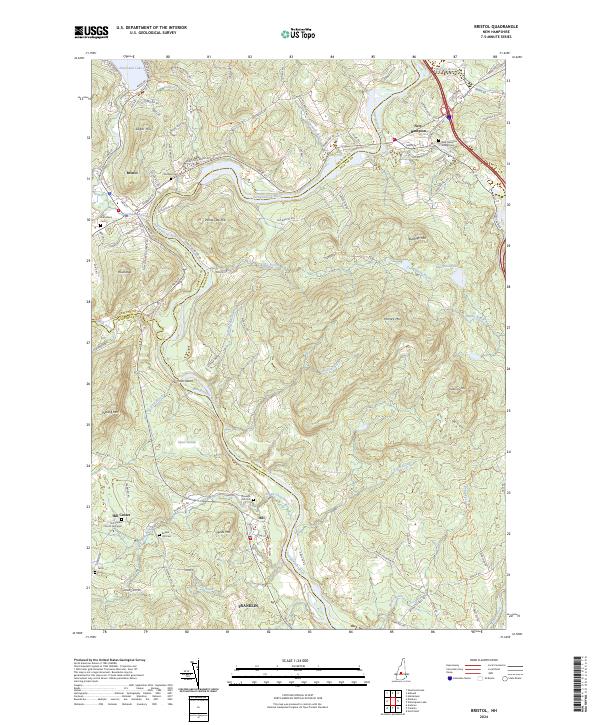
2024 Bristol
Belknap County, NH
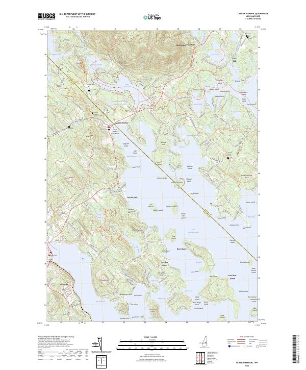
2024 Center Harbor
Belknap County, NH
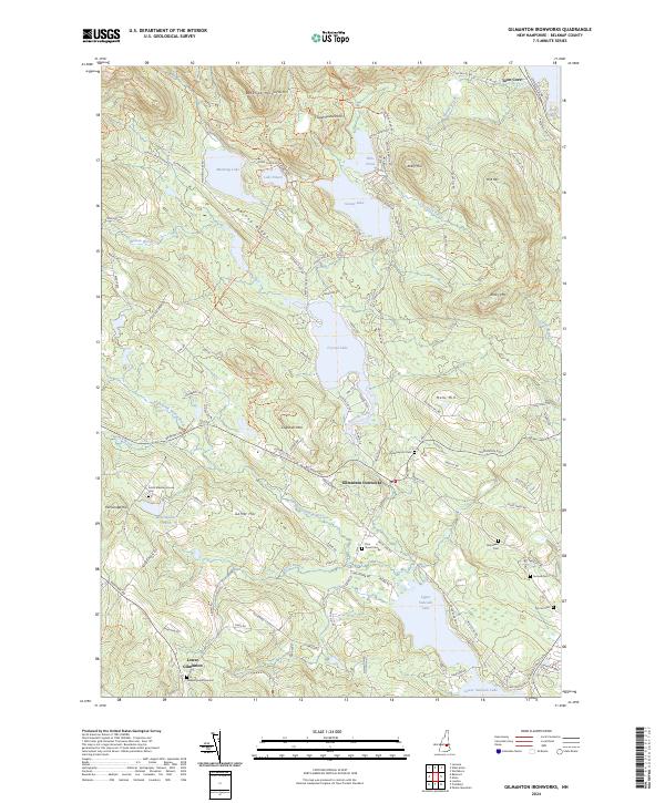
2024 Gilmanton Ironworks
Belknap County, NH
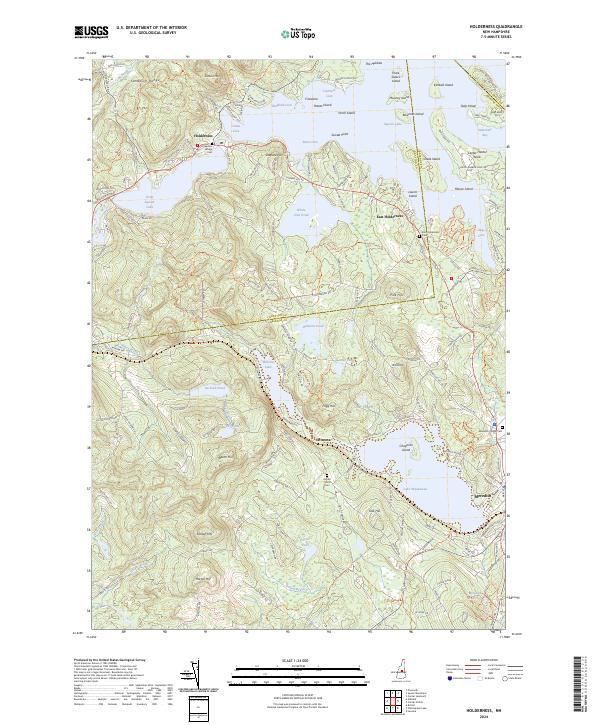
2024 Holderness
Belknap County, NH
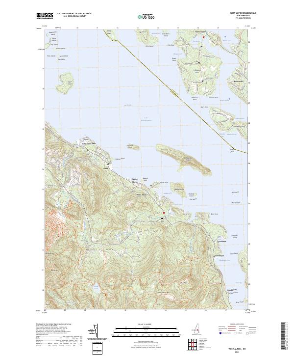
2024 West Alton
Belknap County, NH
2024 Winnisquam Lake
Belknap County, NH