
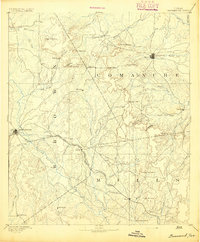
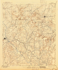
1894 Map of Brownwood
USGS Topo · Published 1894About this map
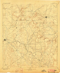
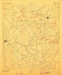
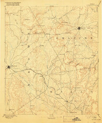
Brownwood and Comanche serve as the primary anchors of this Central Texas landscape, surveyed in the late 1880s by C.H. Fitch. The industrial backbone of the region is the Gulf Colorado and Santa Fe Railroad, which cuts a straight path across the terrain, linking rail stops like Zephyr and Mullen. This transit corridor contrasts with the older settlement patterns found at Williams Ranch and May, which were established along natural watercourses and cattle paths before the tracks dictated the local economy.
Find a feature on this map
65 named features on this map. Tap any name to fly to it.
Don’t see what you’re looking for? This feature index may not catch every label — zoom into the map to look around manually.
Map Details
Editions of this 1894 Brownwood Map
6 editions found
Other maps of this area

1885 · San Saba
USGS Topo · 1:125,000

1887 · Lampasas
USGS Topo · 1:125,000

1887 · Coleman
USGS Topo · 1:125,000

1888 · Hamilton
USGS Topo · 1:125,000

1889 · Brownwood
USGS Topo · 1:125,000

1889 · Coleman
USGS Topo · 1:125,000

1890 · Stephenville
USGS Topo · 1:125,000

1894 · Brady
USGS Topo · 1:125,000

1894 · Hamilton
USGS Topo · 1:125,000

1894 · Lampasas
USGS Topo · 1:125,000