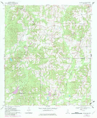
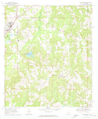
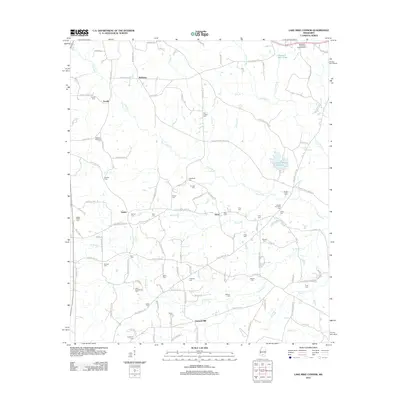
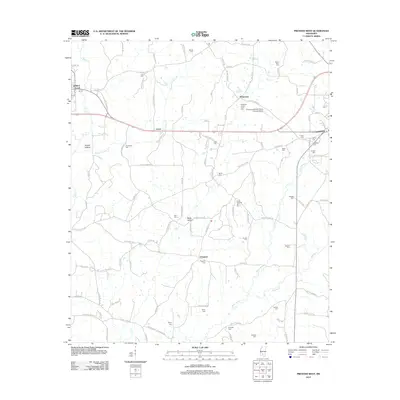
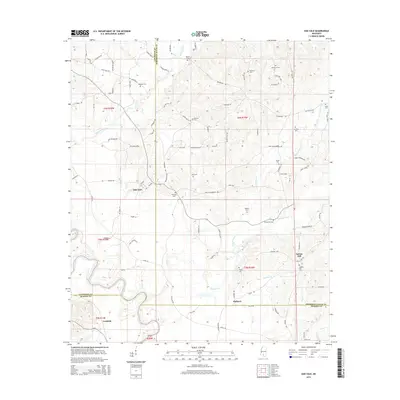
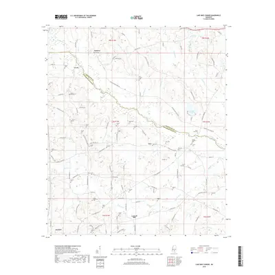
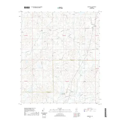
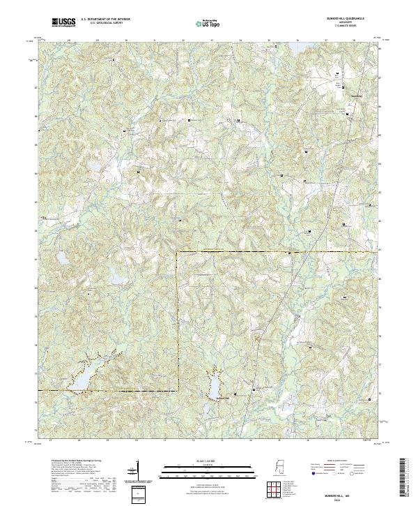
1970 Map of Bunker Hill
USGS Topo · Published 1982About this map
Bassfield and Bunker Hill anchor this rural landscape along the boundary of Jefferson Davis and Marion counties. The terrain is defined by the branching waters of Greens Creek, Holiday Creek, and Pierce Creek, which carve through a mosaic of timberland and small clearings. Significant 1981 revisions, shown in purple, detail the expansion of residential roads and the proliferation of Gravel Pit operations that dotted the area during this era.
Find a feature on this map
24 named features on this map. Tap any name to fly to it.
Don’t see what you’re looking for? This feature index may not catch every label — zoom into the map to look around manually.
Map Details
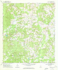
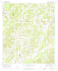
Editions of this 1970 Bunker Hill Map
2 editions found
Historical Maps of Bassfield Through Time
36 maps found
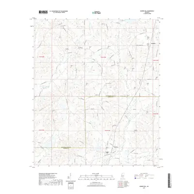
1970 Bunker Hill
Jefferson Davis County, MS
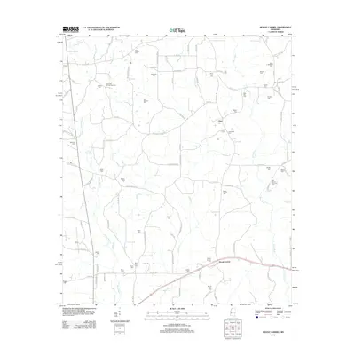
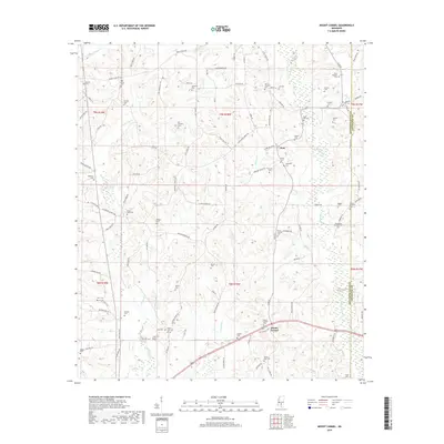
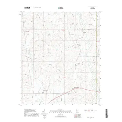
1970 Mount Carmel
Jefferson Davis County, MS
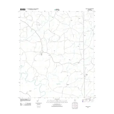
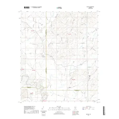
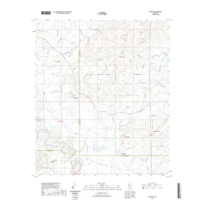
1970 Oak Vale
Jefferson Davis County, MS
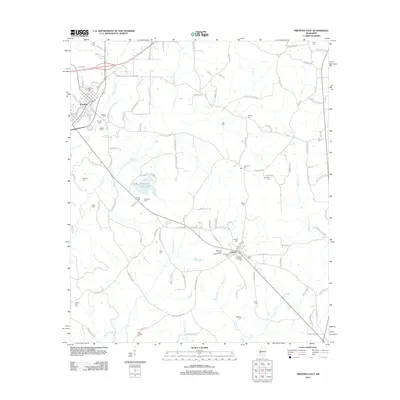
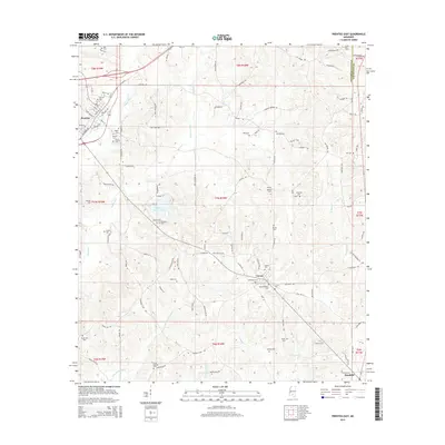
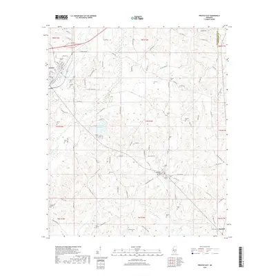
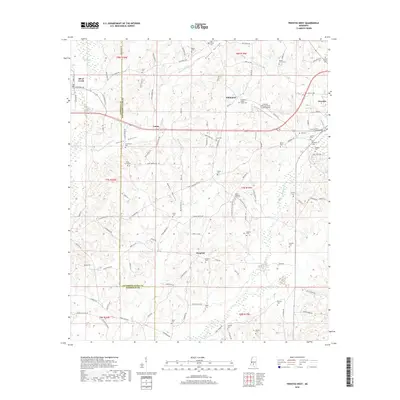
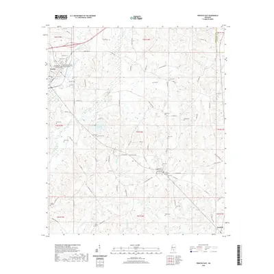
1970 Prentiss East
Jefferson Davis County, MS
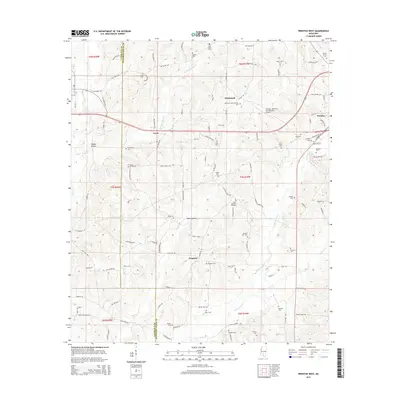
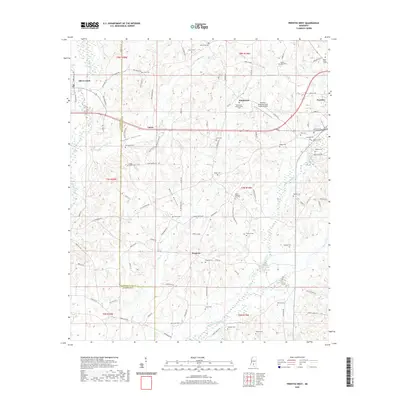
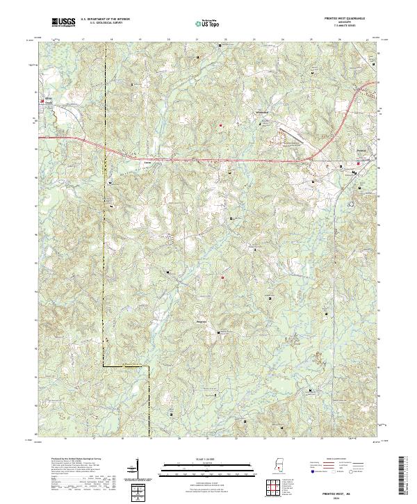
1970 Prentiss West
Jefferson Davis County, MS
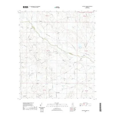
1974 Lake Mike Connor
Jefferson Davis County, MS
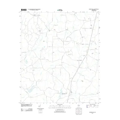
2012 Bunker Hill
Jefferson Davis County, MS
2012 Lake Mike Connor
Jefferson Davis County, MS
2012 Mount Carmel
Jefferson Davis County, MS
2012 Oak Vale
Jefferson Davis County, MS
2012 Prentiss East
Jefferson Davis County, MS
2012 Prentiss West
Jefferson Davis County, MS
2015 Bunker Hill
Jefferson Davis County, MS
2015 Lake Mike Connor
Jefferson Davis County, MS
2015 Mount Carmel
Jefferson Davis County, MS
2015 Oak Vale
Jefferson Davis County, MS
2015 Prentiss East
Jefferson Davis County, MS
2015 Prentiss West
Jefferson Davis County, MS
2018 Bunker Hill
Jefferson Davis County, MS
2018 Lake Mike Connor
Jefferson Davis County, MS
2018 Mount Carmel
Jefferson Davis County, MS
2018 Oak Vale
Jefferson Davis County, MS
2018 Prentiss East
Jefferson Davis County, MS
2018 Prentiss West
Jefferson Davis County, MS
2020 Bunker Hill
Jefferson Davis County, MS
2020 Lake Mike Connor
Jefferson Davis County, MS
2020 Mount Carmel
Jefferson Davis County, MS
2020 Oak Vale
Jefferson Davis County, MS
2020 Prentiss East
Jefferson Davis County, MS
2020 Prentiss West
Jefferson Davis County, MS
2024 Bunker Hill
Jefferson Davis County, MS
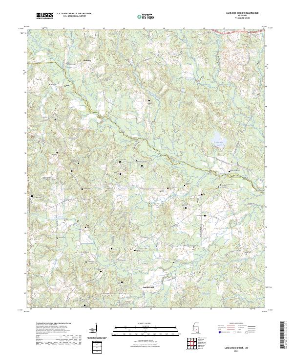
2024 Lake Mike Connor
Jefferson Davis County, MS
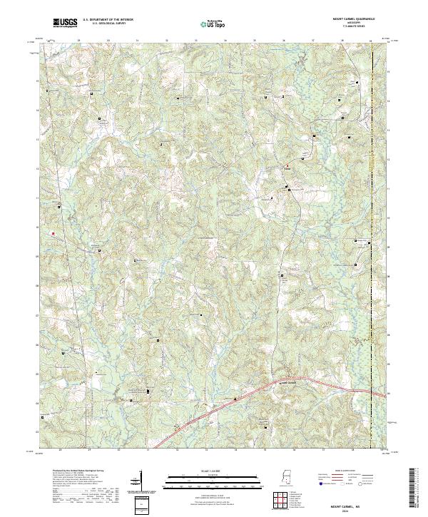
2024 Mount Carmel
Jefferson Davis County, MS
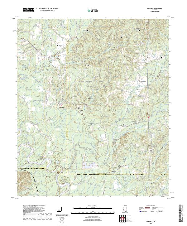
2024 Oak Vale
Jefferson Davis County, MS
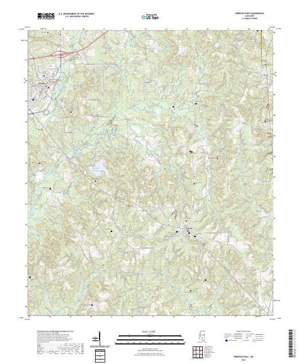
2024 Prentiss East
Jefferson Davis County, MS
2024 Prentiss West
Jefferson Davis County, MS