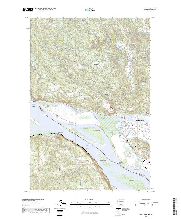
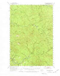
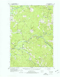
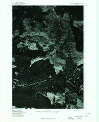
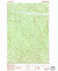
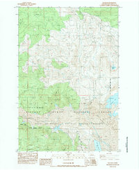
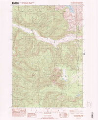
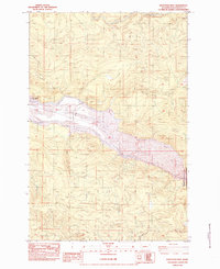
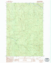
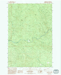
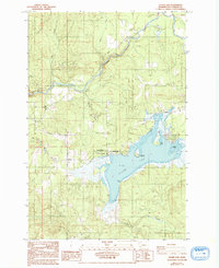
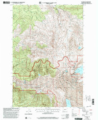
2023 Map of Coal Creek
USGS Topo · Published 2023About this map
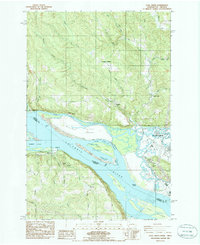
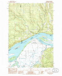
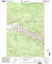
The Columbia River serves as the focal point of this map, delineating the border between Washington and Oregon. The landscape is characterized by a complex network of waterways, including Coal Creek Slough and Fisher Island Slough, which weave around substantial river landforms like Fisher Island and Walker Island. On the Washington side, the city of Longview and its surrounding heights transition from riverfront industrial corridors to the residential hills of Eufaula Heights.
Find a feature on this map
110 named features on this map. Tap any name to fly to it.
Don’t see what you’re looking for? This feature index may not catch every label — zoom into the map to look around manually.
Map Details
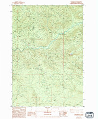
Editions of this 2023 Coal Creek Map
This is the sole edition of this map. No revisions or reprints were ever made.
Historical Maps of Eufaula Heights Through Time
48 maps found
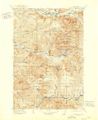
1919 Mt St. Helens
Cowlitz County, WA

1941 Olequa
Cowlitz County, WA

1942 Toutle
Cowlitz County, WA

1943 Pigeon Springs
Cowlitz County, WA
1953 Elk Rock
Cowlitz County, WA
1953 Mt. Brynion
Cowlitz County, WA
1953 Pigeon Springs
Cowlitz County, WA
1953 Toutle
Cowlitz County, WA
1975 Cougar NE
Cowlitz County, WA
1975 Cougar SE
Cowlitz County, WA
1975 Elk Rock SE
Cowlitz County, WA
1983 Elk Mountain
Cowlitz County, WA
1983 Elk Rock
Cowlitz County, WA
1983 Goat Mountain
Cowlitz County, WA
1983 Hoffstadt Mtn
Cowlitz County, WA
1983 Lakeview Peak
Cowlitz County, WA
1984 Hemlock Pass
Cowlitz County, WA
1984 Toutle Mtn.
Cowlitz County, WA
1984 Wolf Point
Cowlitz County, WA
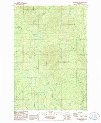
1985 Coal Creek
Cowlitz County, WA
1985 Georges Peak
Cowlitz County, WA
1985 Oak Point
Cowlitz County, WA
1985 Silver Lake
Cowlitz County, WA
1985 Toutle
Cowlitz County, WA
1985 Woolford
Cowlitz County, WA
1986 Abernathy Mountain
Cowlitz County, WA
1986 Elochoman Lake
Cowlitz County, WA
1990 Mount Brynion
Cowlitz County, WA
1998 Elk Rock
Cowlitz County, WA
1998 Hoffstadt Mountain
Cowlitz County, WA
2000 Goat Mountain
Cowlitz County, WA
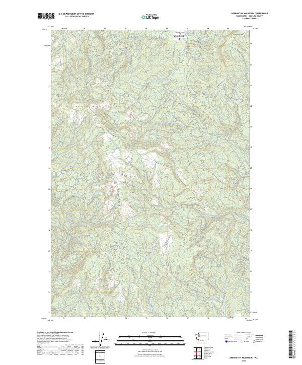
2023 Abernathy Mountain
Cowlitz County, WA
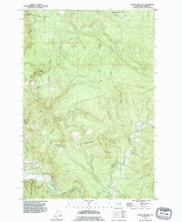
2023 Coal Creek
Cowlitz County, WA
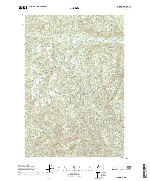
2023 Elk Mountain
Cowlitz County, WA
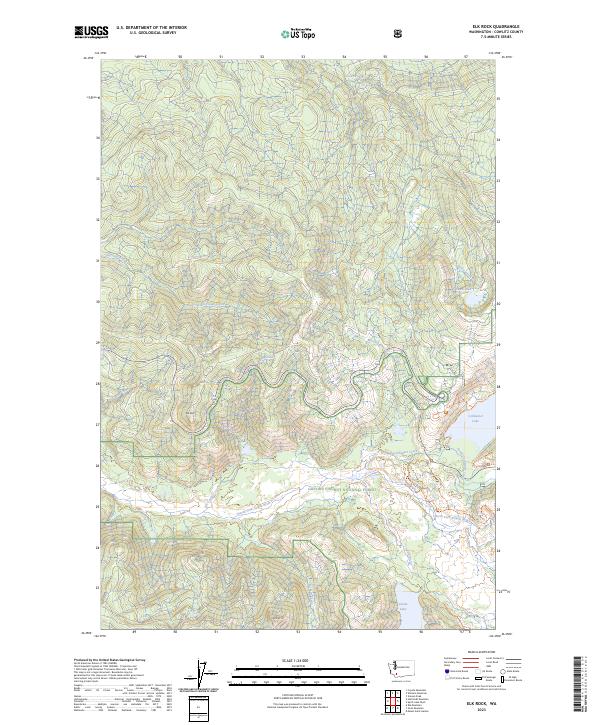
2023 Elk Rock
Cowlitz County, WA
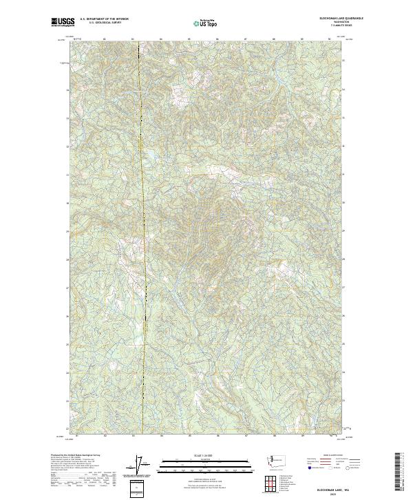
2023 Elochoman Lake
Cowlitz County, WA
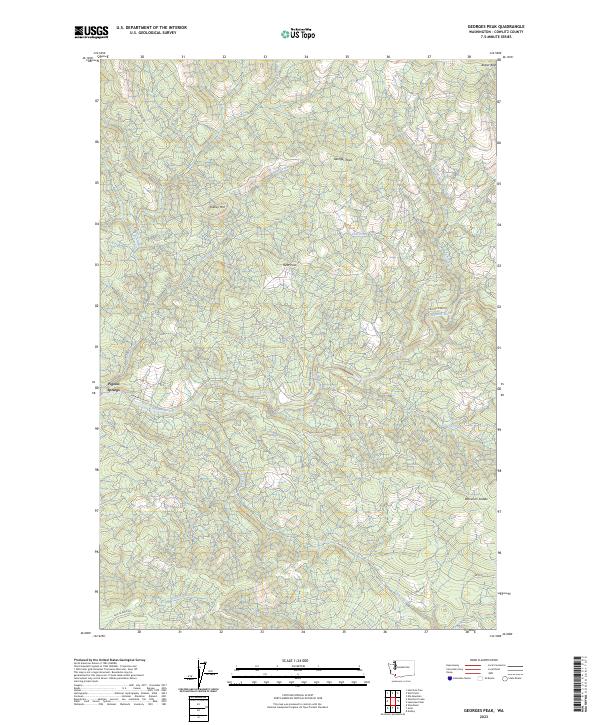
2023 Georges Peak
Cowlitz County, WA
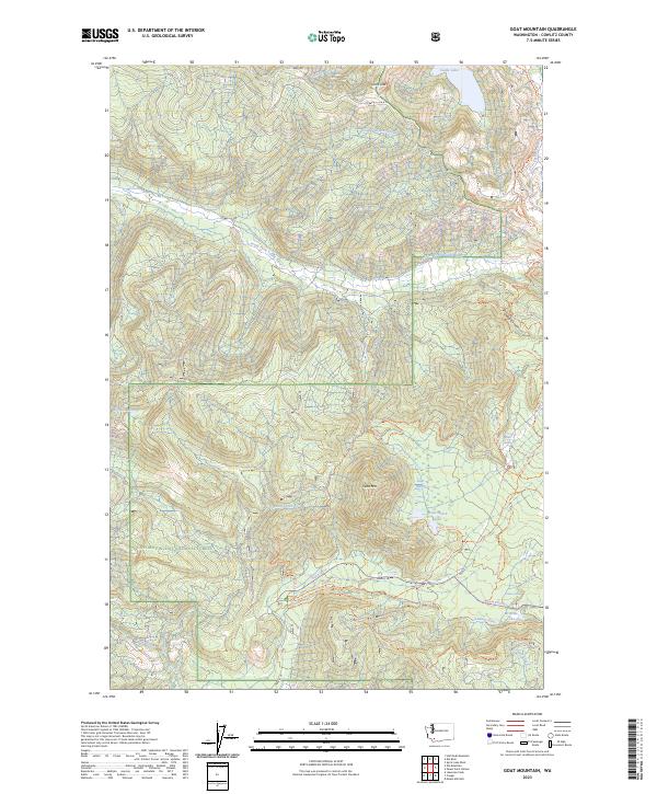
2023 Goat Mountain
Cowlitz County, WA
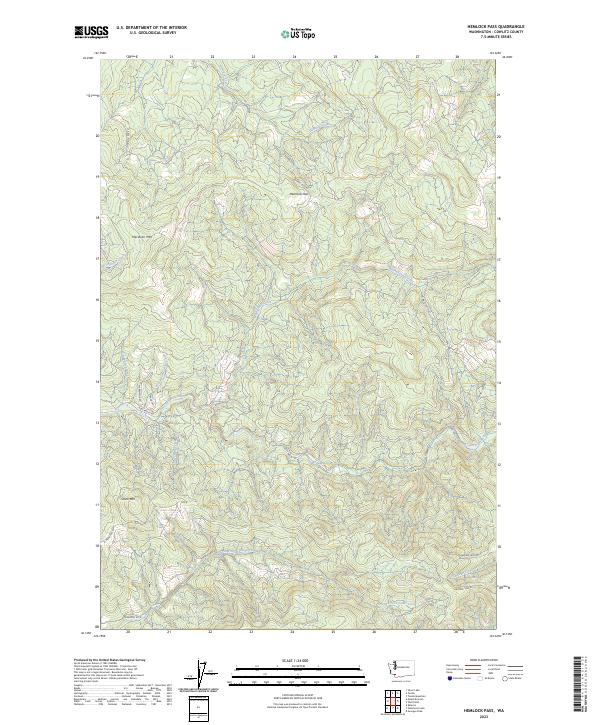
2023 Hemlock Pass
Cowlitz County, WA
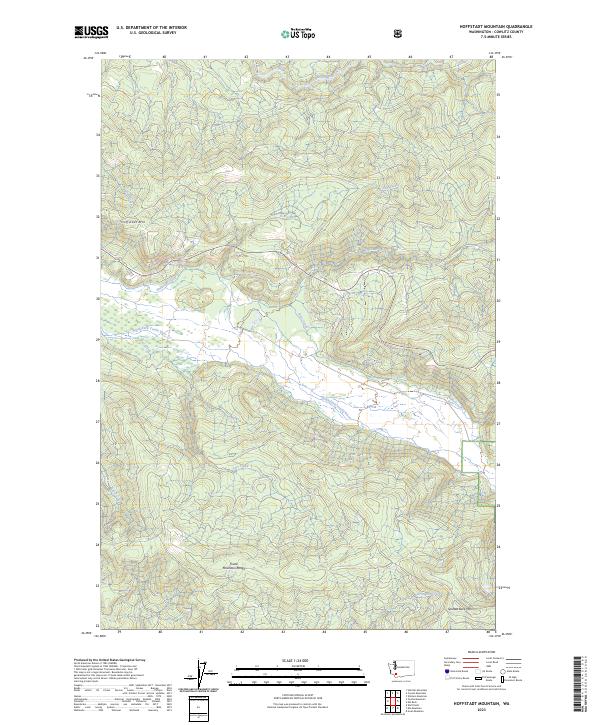
2023 Hoffstadt Mountain
Cowlitz County, WA
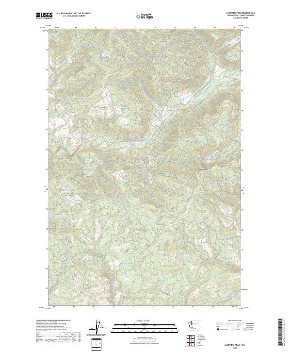
2023 Lakeview Peak
Cowlitz County, WA
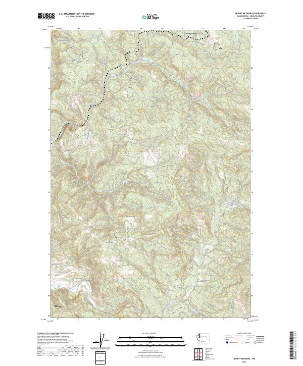
2023 Mount Brynion
Cowlitz County, WA
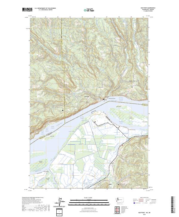
2023 Oak Point
Cowlitz County, WA
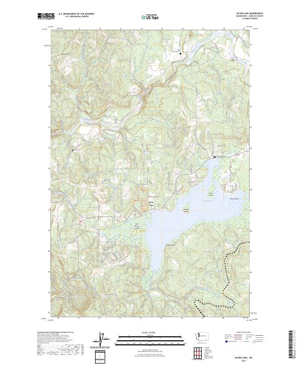
2023 Silver Lake
Cowlitz County, WA
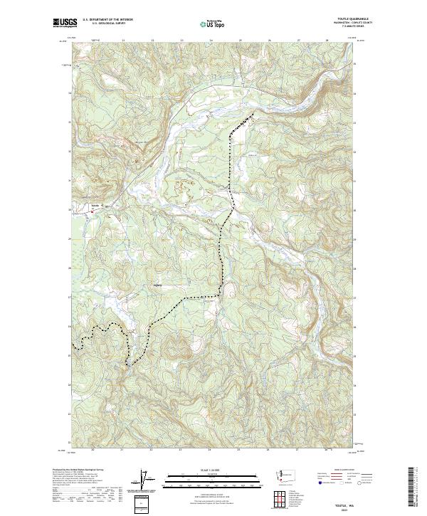
2023 Toutle
Cowlitz County, WA
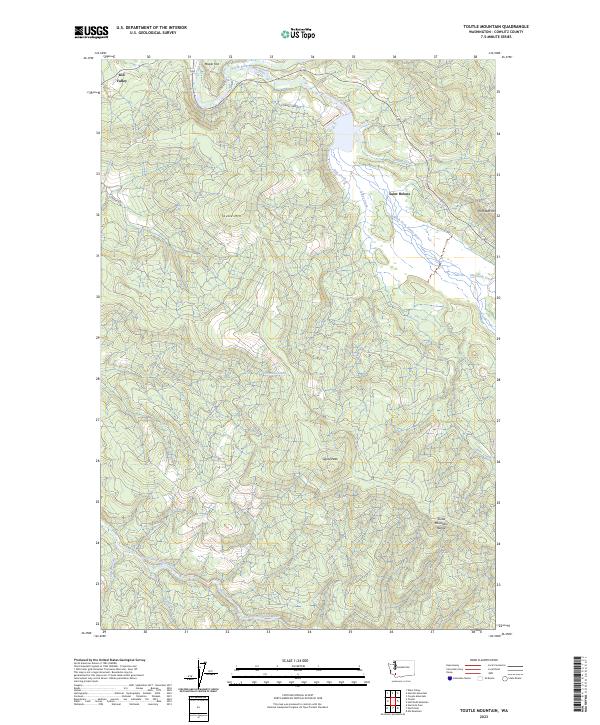
2023 Toutle Mountain
Cowlitz County, WA
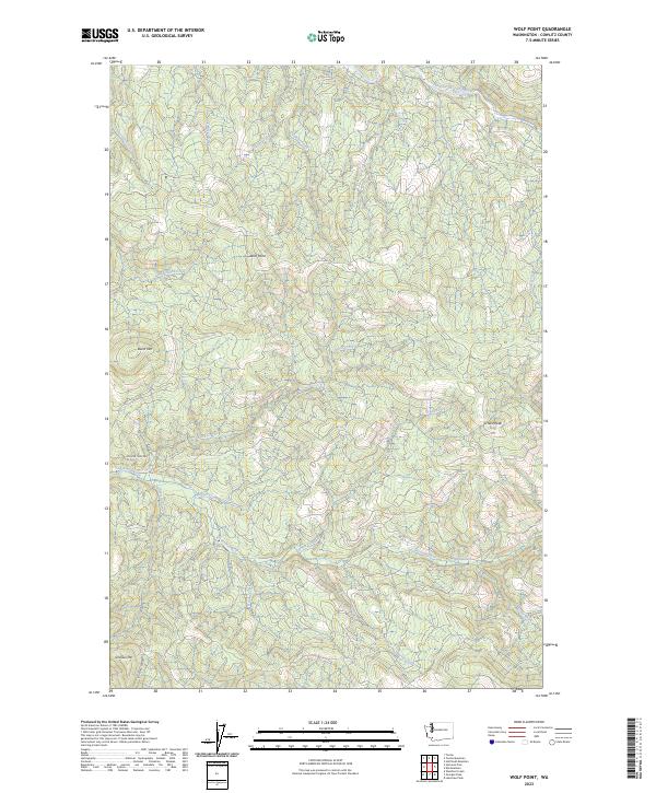
2023 Wolf Point
Cowlitz County, WA
2023 Woolford Creek
Cowlitz County, WA