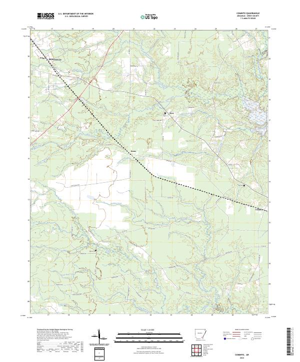
2024 Map of Cominto
USGS Topo · Published 2024This historical map portrays the area of Cominto in 2024, primarily covering Drew County. Featuring a scale of 1:24000, this map provides a highly detailed snapshot of the terrain, roads, buildings, counties, and historical landmarks in the Cominto region at the time. Published in 2024, it is the sole known edition of this map.
Map Details
Editions of this 2024 Cominto Map
This is the sole edition of this map. No revisions or reprints were ever made.
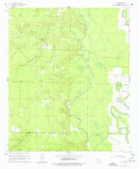
Historical Maps of Cominto Through Time
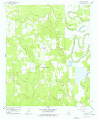
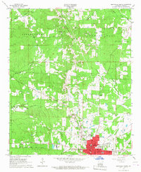
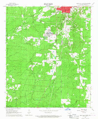
26 maps found
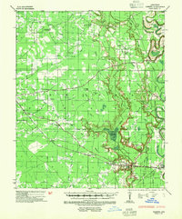
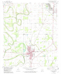
1935 Cominto
Drew County, AR

1960 Collins NW
Drew County, AR
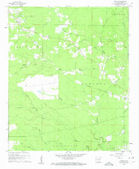
1960 Cominto
Drew County, AR
1960 Line
Drew County, AR
1960 Mist NW
Drew County, AR
1960 Selma
Drew County, AR
1966 Monticello North
Drew County, AR
1966 Monticello South
Drew County, AR
1971 Ladelle
Drew County, AR
1971 Longview
Drew County, AR
1972 Wilmar South
Drew County, AR
1973 Wilmar North
Drew County, AR

1975 Mc Gehee SW
Drew County, AR
1981 Mc Gehee South
Drew County, AR
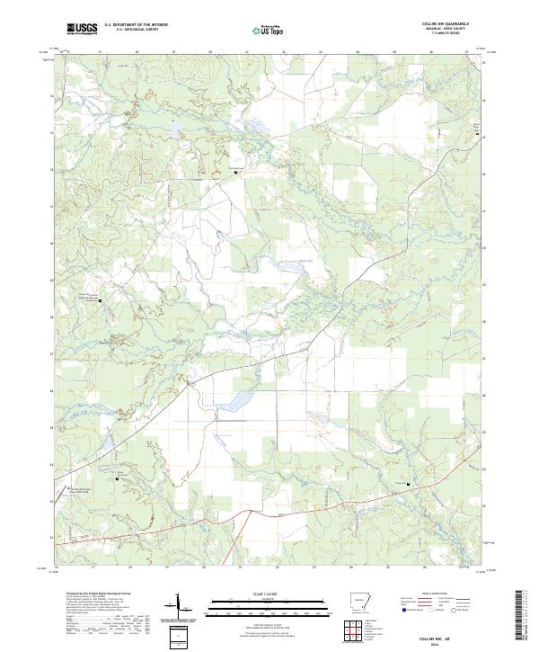
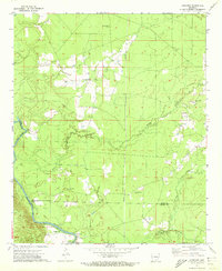
2024 Collins NW
Drew County, AR
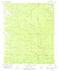
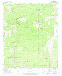
2024 Cominto
Drew County, AR
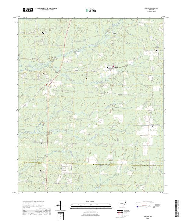
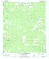
2024 Ladelle
Drew County, AR
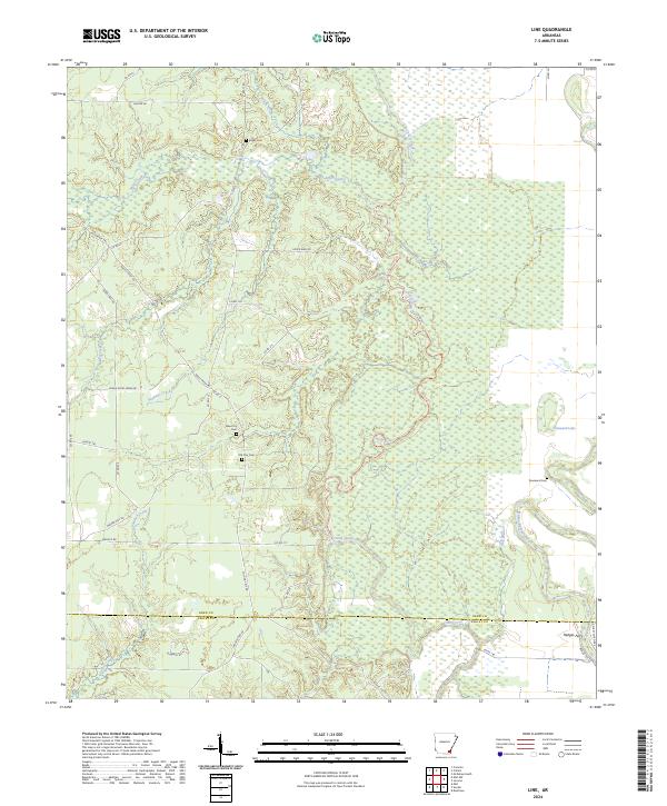
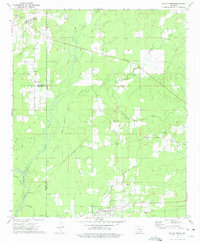
2024 Line
Drew County, AR
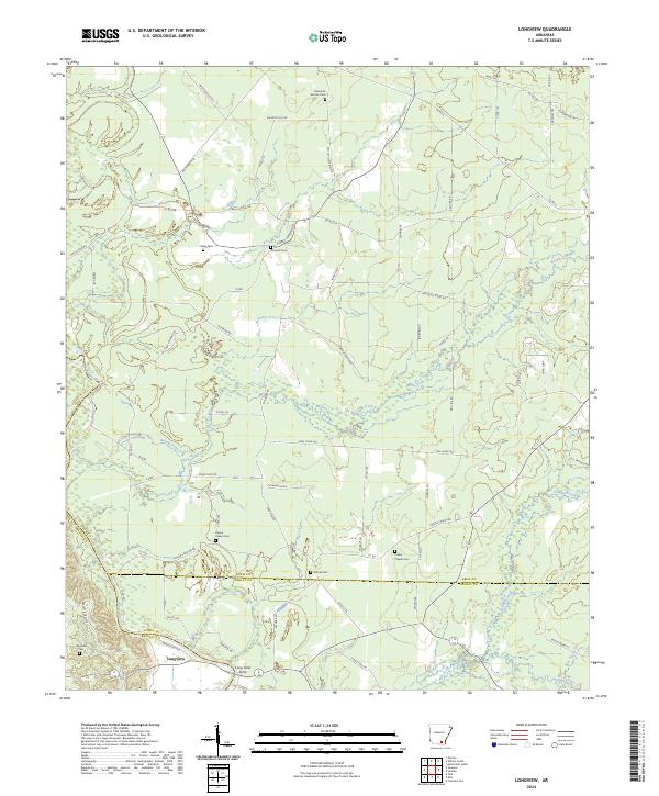
2024 Longview
Drew County, AR
2024 McGehee South
Drew County, AR
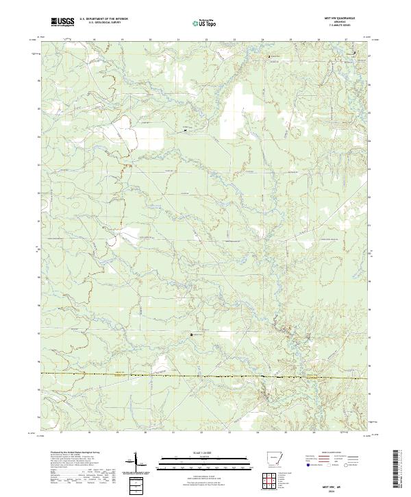
2024 Mist NW
Drew County, AR
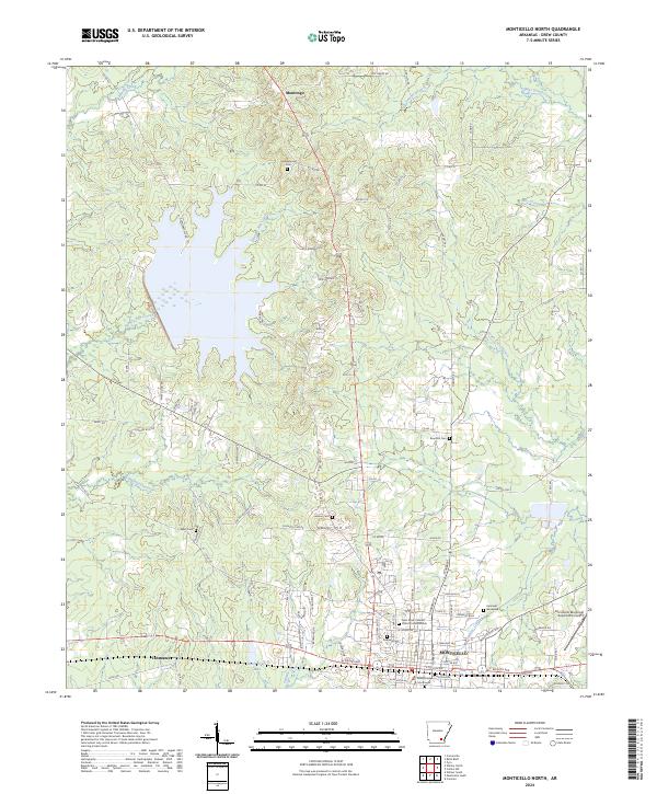
2024 Monticello North
Drew County, AR
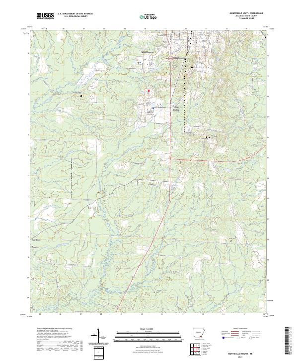
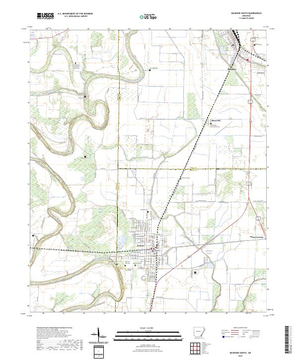
2024 Monticello South
Drew County, AR
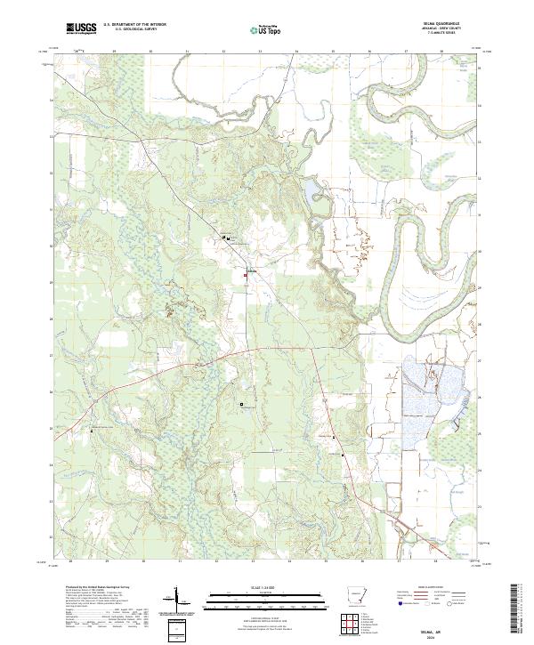
2024 Selma
Drew County, AR
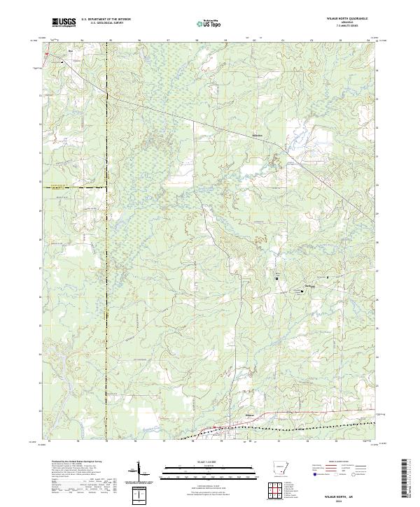
2024 Wilmar North
Drew County, AR
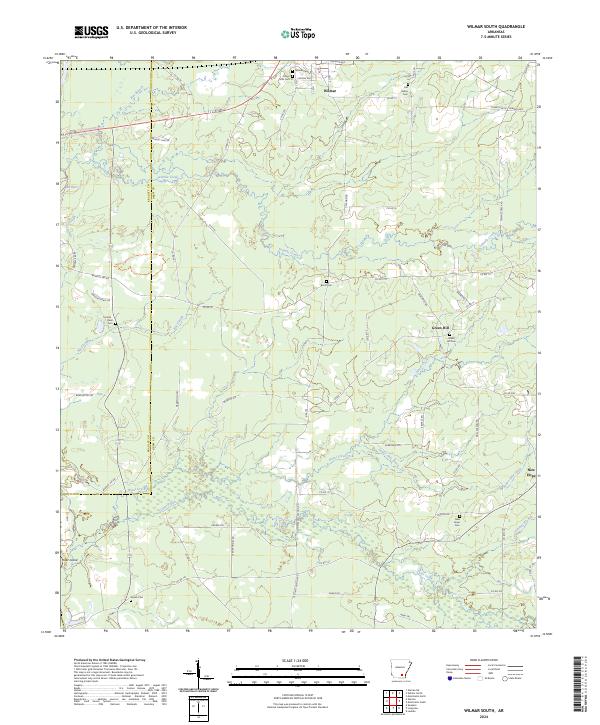
2024 Wilmar South
Drew County, AR