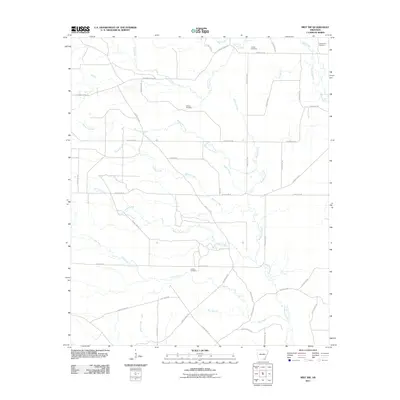
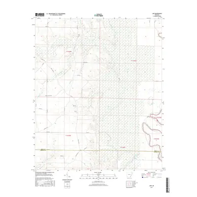
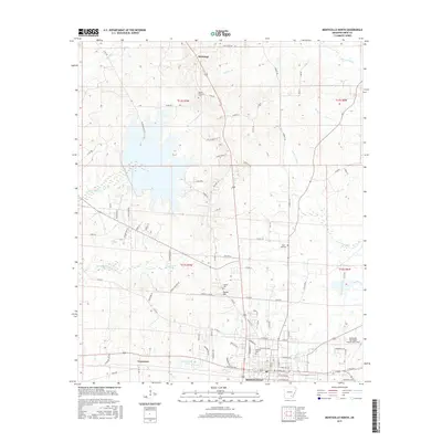
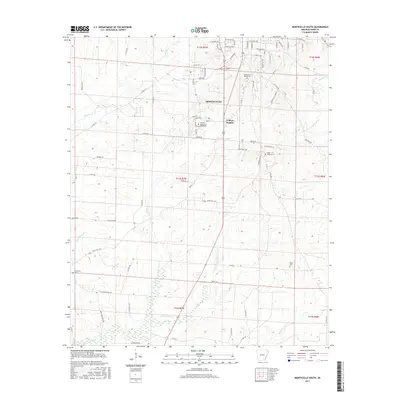
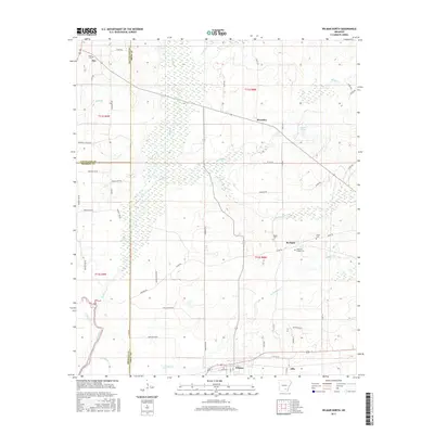
2024 Map of Mist NW
USGS Topo · Published 2024About this map
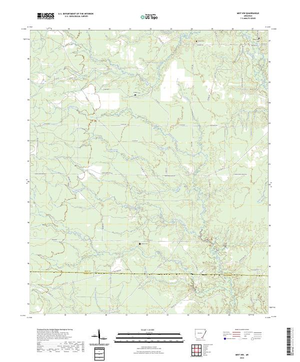
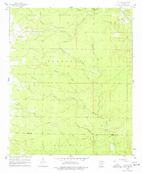
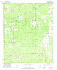
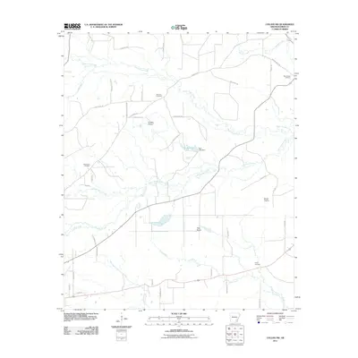
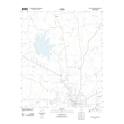
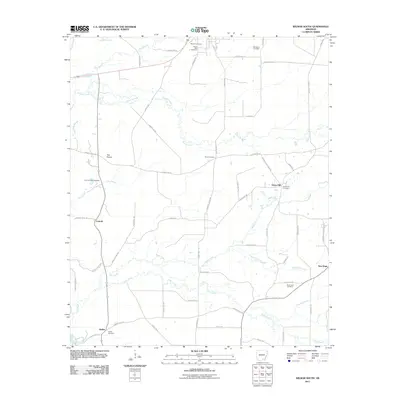
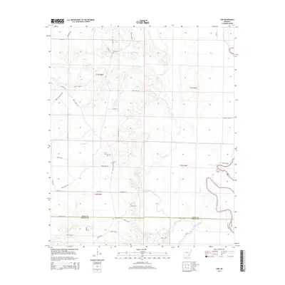
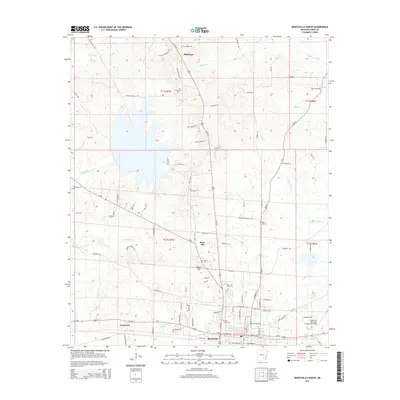
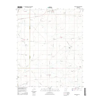
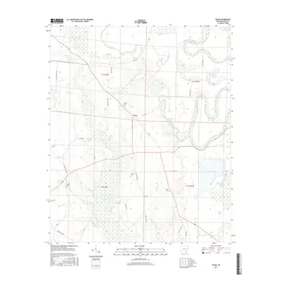
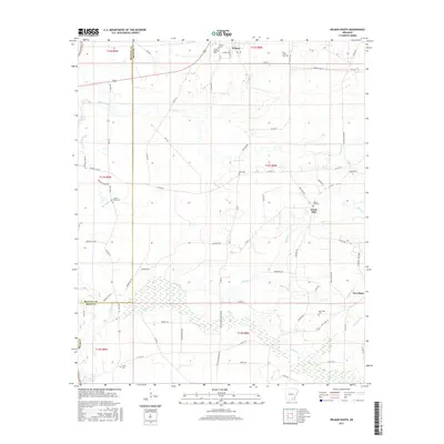
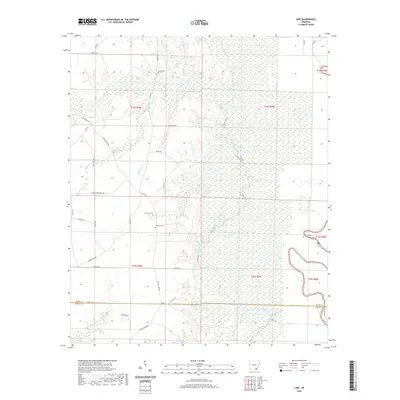
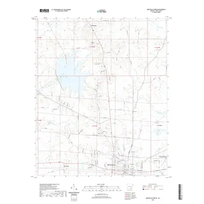
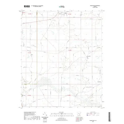
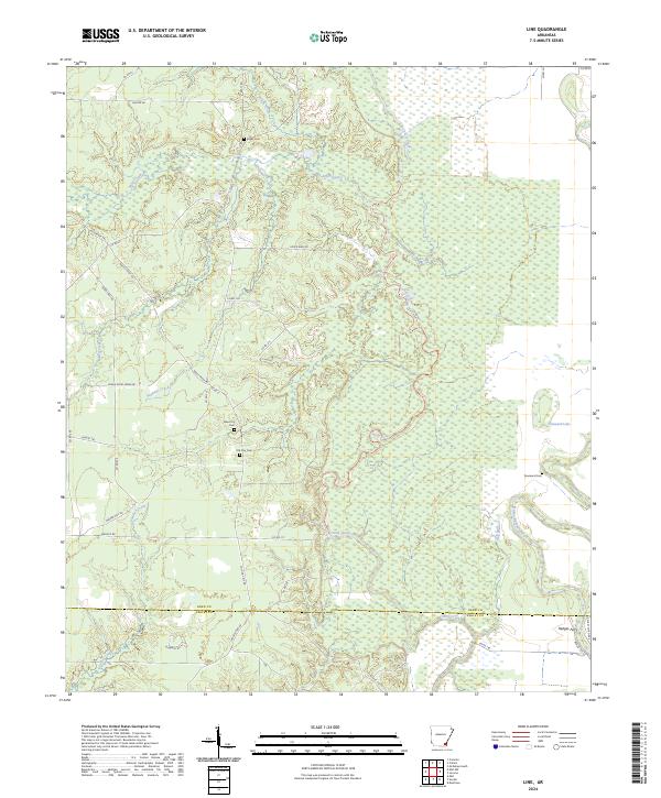
Lower-delta terrain and timberland define this landscape along the border of Drew and Ashley Counties. The map area is heavily influenced by a dense network of watercourses, including the central meandering paths of Bearhouse Creek and Gillam Creek. In the south, the presence of the Old Tram Rd suggests the historical importance of the timber industry, marking a legacy of transport through these low-lying areas. Genealogists will find significant local value in the dispersed family and community cemeteries that dot the quadrangle. Jordan Cem, Centerpoint Cem, Cotham Cem, and Judkins Cem serve as critical markers of early settlement and rural heritage in this part of Arkansas. The road network is primarily composed of county routes and trails like Kickton Trl, connecting isolated homesteads and logging areas across the drainage basins of Holley Creek and Wolf Creek.
Find a feature on this map
53 named features on this map. Tap any name to fly to it.
Don’t see what you’re looking for? This feature index may not catch every label — zoom into the map to look around manually.
Map Details
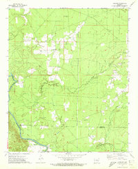
Editions of this 2024 Mist NW Map
This is the sole edition of this map. No revisions or reprints were ever made.
Historical Maps of Ashley County Through Time
74 maps found
1935 Cominto
Drew County, AR

1960 Collins NW
Drew County, AR
1960 Cominto
Drew County, AR
1960 Line
Drew County, AR
1960 Mist NW
Drew County, AR
1960 Selma
Drew County, AR
1966 Monticello North
Drew County, AR
1966 Monticello South
Drew County, AR
1971 Ladelle
Drew County, AR
1971 Longview
Drew County, AR
1972 Wilmar South
Drew County, AR
1973 Wilmar North
Drew County, AR

1975 Mc Gehee SW
Drew County, AR
1981 Mc Gehee South
Drew County, AR
2011 Collins NW
Drew County, AR
2011 Cominto
Drew County, AR
2011 Ladelle
Drew County, AR
2011 Line
Drew County, AR
2011 Longview
Drew County, AR
2011 McGehee South
Drew County, AR
2011 Mist NW
Drew County, AR
2011 Monticello North
Drew County, AR
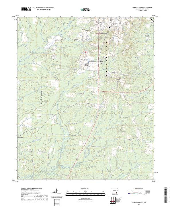
2011 Monticello South
Drew County, AR
2011 Selma
Drew County, AR
2011 Wilmar North
Drew County, AR
2011 Wilmar South
Drew County, AR
2014 Collins NW
Drew County, AR
2014 Cominto
Drew County, AR
2014 Ladelle
Drew County, AR
2014 Line
Drew County, AR
2014 Longview
Drew County, AR
2014 McGehee South
Drew County, AR
2014 Mist NW
Drew County, AR
2014 Monticello North
Drew County, AR
2014 Monticello South
Drew County, AR
2014 Selma
Drew County, AR
2014 Wilmar North
Drew County, AR
2014 Wilmar South
Drew County, AR
2017 Collins NW
Drew County, AR
2017 Cominto
Drew County, AR
2017 Ladelle
Drew County, AR
2017 Line
Drew County, AR
2017 Longview
Drew County, AR
2017 McGehee South
Drew County, AR
2017 Mist NW
Drew County, AR
2017 Monticello North
Drew County, AR
2017 Monticello South
Drew County, AR
2017 Selma
Drew County, AR
2017 Wilmar North
Drew County, AR
2017 Wilmar South
Drew County, AR
2020 Collins NW
Drew County, AR
2020 Cominto
Drew County, AR
2020 Ladelle
Drew County, AR
2020 Line
Drew County, AR
2020 Longview
Drew County, AR
2020 McGehee South
Drew County, AR
2020 Mist NW
Drew County, AR
2020 Monticello North
Drew County, AR
2020 Monticello South
Drew County, AR
2020 Selma
Drew County, AR
2020 Wilmar North
Drew County, AR
2020 Wilmar South
Drew County, AR
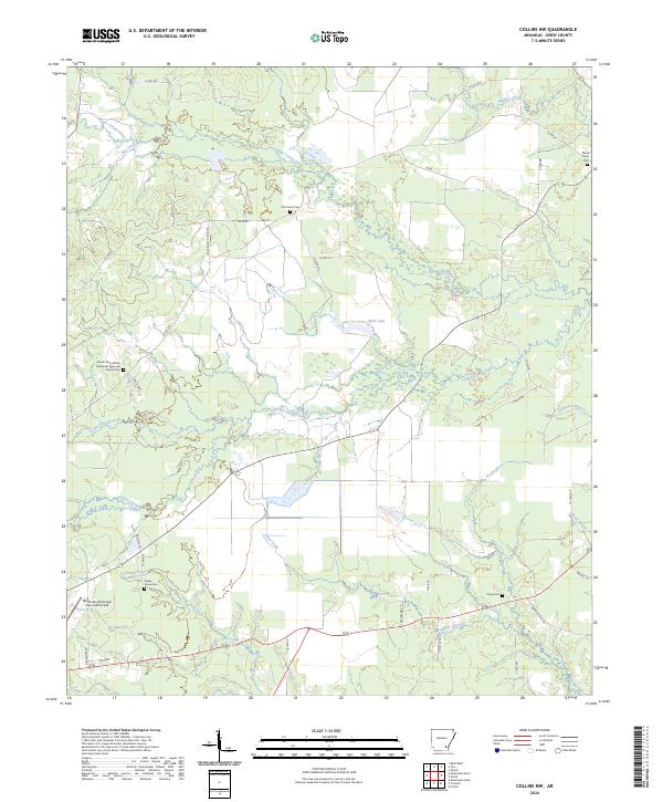
2024 Collins NW
Drew County, AR
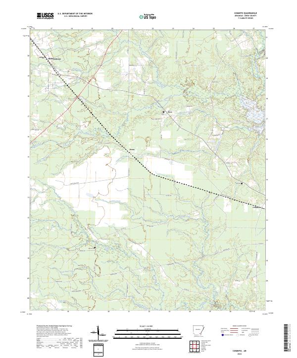
2024 Cominto
Drew County, AR
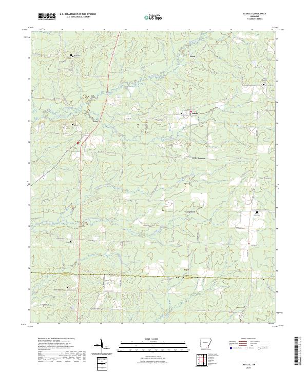
2024 Ladelle
Drew County, AR
2024 Line
Drew County, AR
2024 Longview
Drew County, AR
2024 McGehee South
Drew County, AR
2024 Mist NW
Drew County, AR
2024 Monticello North
Drew County, AR
2024 Monticello South
Drew County, AR
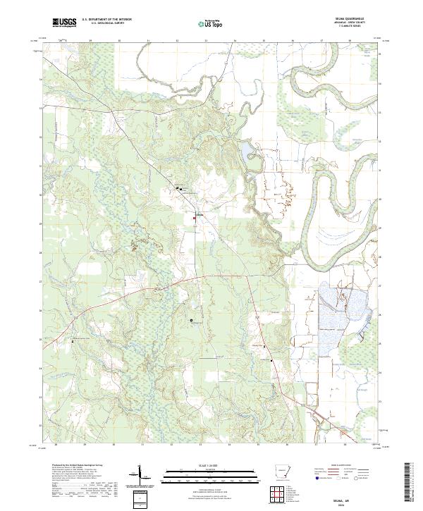
2024 Selma
Drew County, AR
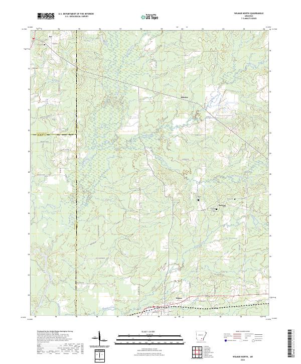
2024 Wilmar North
Drew County, AR
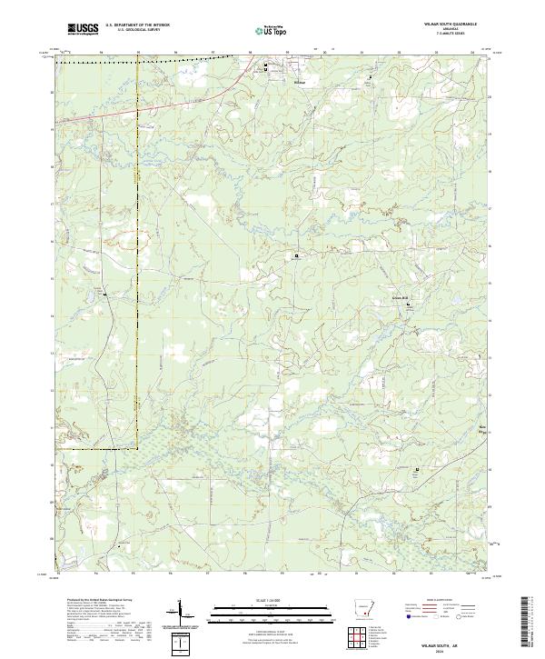
2024 Wilmar South
Drew County, AR