
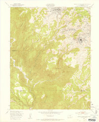
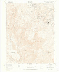
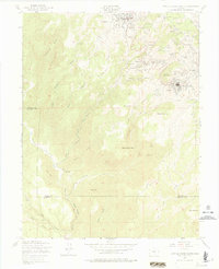
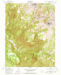
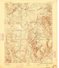
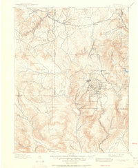
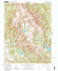
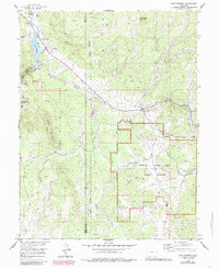
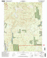
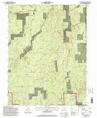
1951 Map of Cripple Creek South
USGS Topo · Published 1954This historical map portrays the area of Cripple Creek South in 1951, primarily covering Teller County as well as portions of Fremont County. Featuring a scale of 1:24000, this map provides a highly detailed snapshot of the terrain, roads, buildings, counties, and historical landmarks in the Cripple Creek South region at the time. Published in 1954, it is one of 9 known editions of this map due to revisions or reprints.
Find a feature on this map
72 named features on this map. Tap any name to fly to it.
Don’t see what you’re looking for? This feature index may not catch every label — zoom into the map to look around manually.
Map Details
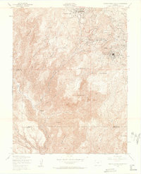
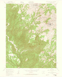
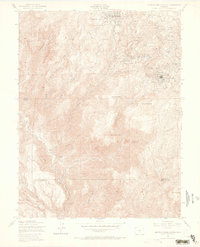
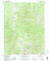
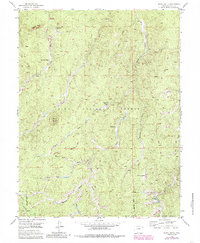
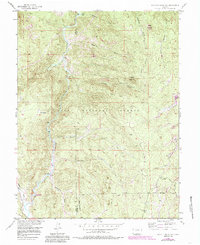
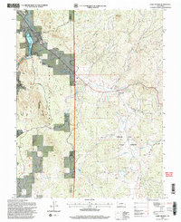
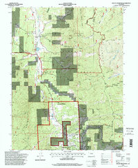
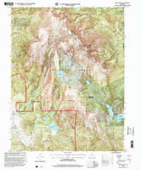
Editions of this 1951 Cripple Creek South Map
9 editions found
Historical Maps of Stratton Through Time
20 maps found
1894 Pikes Peak
Teller County, CO

1901 Pikes Peak
Teller County, CO
1901 Pikes Peak
Teller County, CO
1951 Big Bull Mountain
Teller County, CO
1951 Cripple Creek North
Teller County, CO
1951 Cripple Creek South
Teller County, CO
1951 Pikes Peak
Teller County, CO
1954 Mount Deception
Teller County, CO
1954 Signal Butte
Teller County, CO
1956 Hackett Mountain
Teller County, CO
1956 Lake George
Teller County, CO
1983 Wrights Reservoir
Teller County, CO
1994 Big Bull Mountain
Teller County, CO
1994 Cripple Creek North
Teller County, CO
1994 Hackett Mountain
Teller County, CO
1994 Lake George
Teller County, CO
1994 Mount Deception
Teller County, CO
1994 Pikes Peak
Teller County, CO
1994 Signal Butte
Teller County, CO
1994 Wrights Reservoir
Teller County, CO