2023 Map of Dawson
USGS Topo · Published 2023About this map
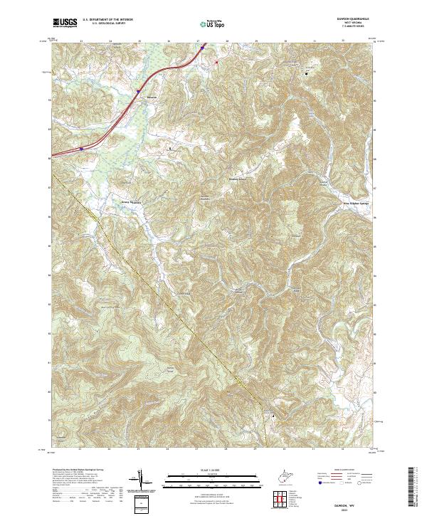
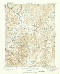
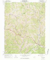
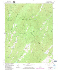
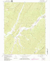
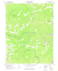
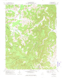
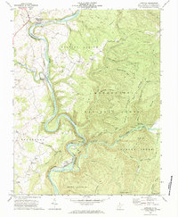
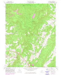
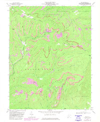
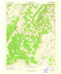
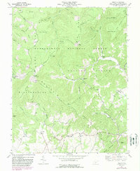
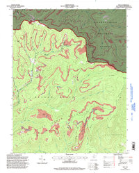
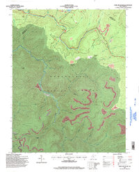
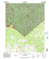
Blue Sulphur Springs stands as a focal point in this mountainous region of Greenbrier County, where the terrain is defined by a dense network of ridges and hollows. The landscape is marked by high elevations like Keeney Mountain and Keeney Knob, the latter featuring the Keeney Knob Fire Tower. Settlements such as Grassy Meadows and Hickory Grove are connected by winding local routes like Smoot Rd and Snake Run Rd, following the natural contours carved by the Meadow River and Muddy Creek.
Find a feature on this map
79 named features on this map. Tap any name to fly to it.
Don’t see what you’re looking for? This feature index may not catch every label — zoom into the map to look around manually.
Map Details
Editions of this 2023 Dawson Map
This is the sole edition of this map. No revisions or reprints were ever made.
Historical Maps of Dawson Through Time
40 maps found

1921 Clintonville
Greenbrier County, WV
1923 Clintonville
Greenbrier County, WV
1923 Lobelia
Greenbrier County, WV
1925 Lobelia
Greenbrier County, WV
1935 Clintonville
Greenbrier County, WV
1935 Lobelia
Greenbrier County, WV
1939 Clintonville
Greenbrier County, WV
1939 Lobelia
Greenbrier County, WV
1964 Asbury
Greenbrier County, WV
1966 Glace
Greenbrier County, WV
1969 Alvon
Greenbrier County, WV
1969 Corliss
Greenbrier County, WV
1971 Dawson
Greenbrier County, WV
1972 Anthony
Greenbrier County, WV

1972 Asbury
Greenbrier County, WV
1972 Cornstalk
Greenbrier County, WV
1972 Duo
Greenbrier County, WV
1972 Williamsburg
Greenbrier County, WV
1973 Droop
Greenbrier County, WV
1977 Droop
Greenbrier County, WV
1977 Fork Mountain
Greenbrier County, WV
1977 Trout
Greenbrier County, WV
1995 Alvon
Greenbrier County, WV
1995 Anthony
Greenbrier County, WV
1995 Droop
Greenbrier County, WV
1995 Duo
Greenbrier County, WV
1995 Fork Mountain
Greenbrier County, WV
1995 Trout
Greenbrier County, WV
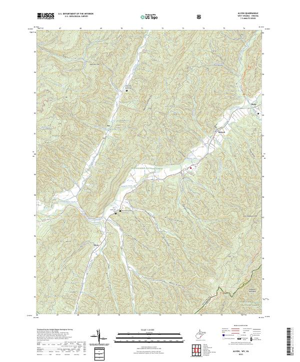
2023 Alvon
Greenbrier County, WV
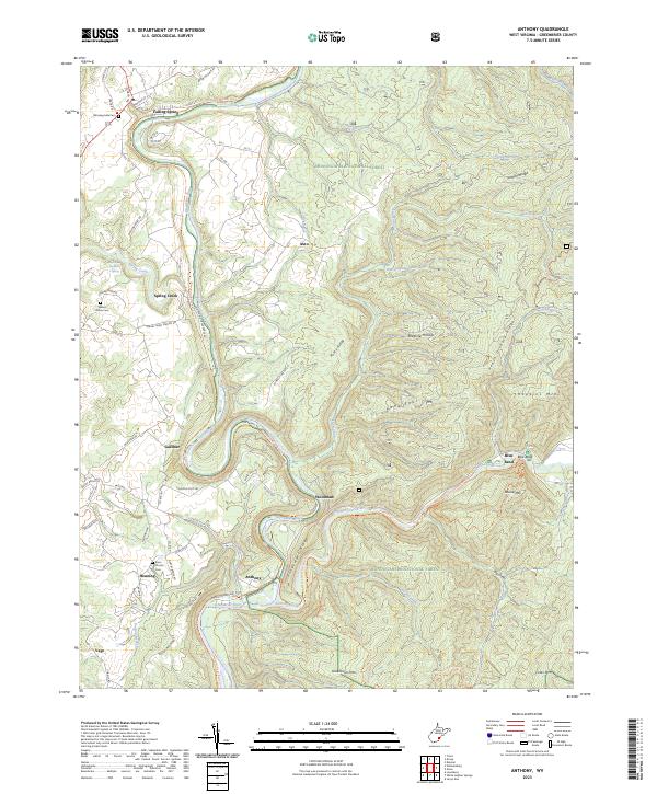
2023 Anthony
Greenbrier County, WV
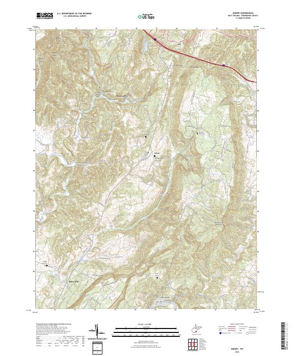
2023 Asbury
Greenbrier County, WV
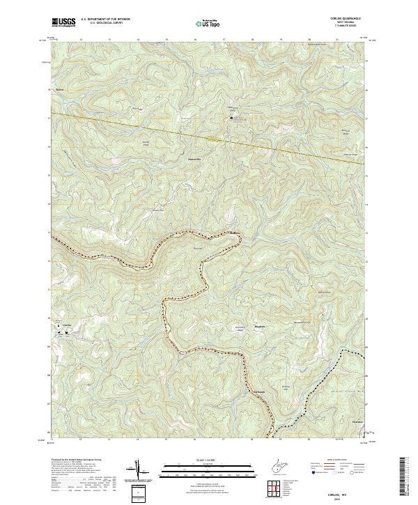
2023 Corliss
Greenbrier County, WV
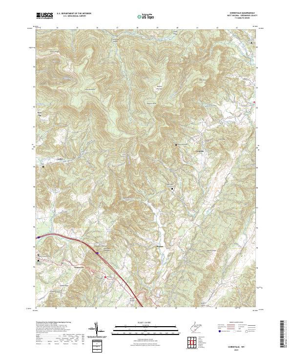
2023 Cornstalk
Greenbrier County, WV
2023 Dawson
Greenbrier County, WV
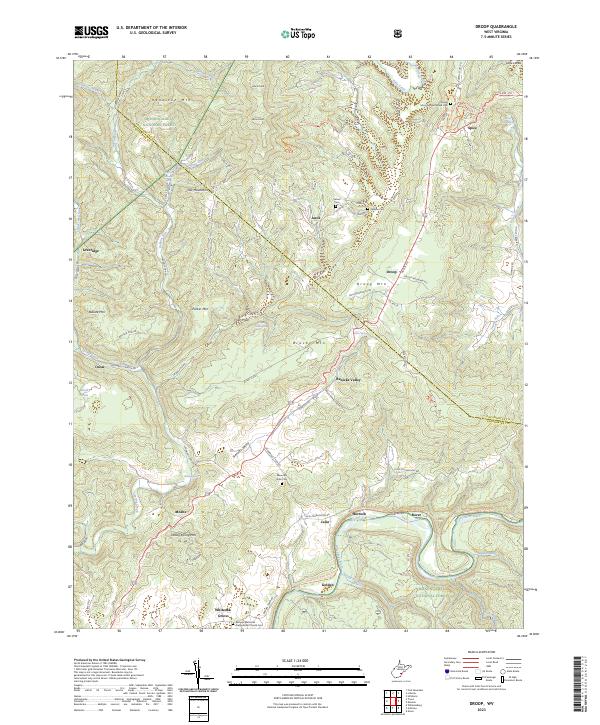
2023 Droop
Greenbrier County, WV
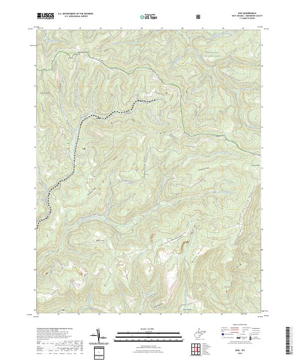
2023 Duo
Greenbrier County, WV
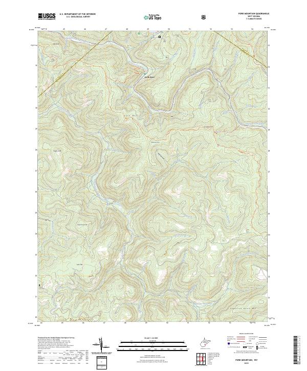
2023 Fork Mountain
Greenbrier County, WV
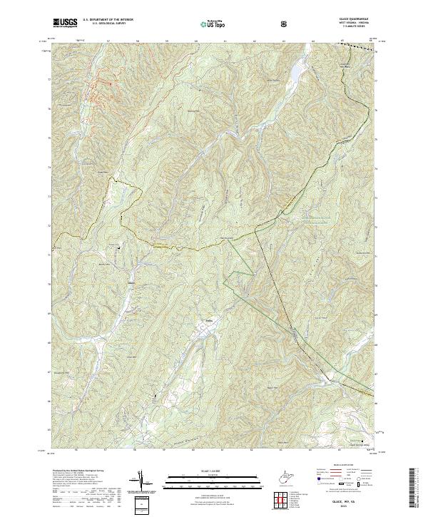
2023 Glace
Greenbrier County, WV
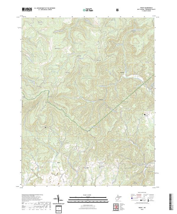
2023 Trout
Greenbrier County, WV
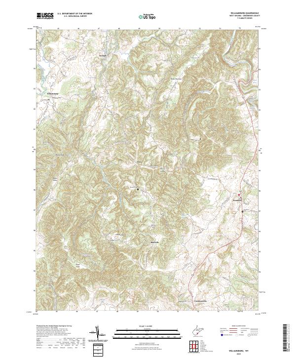
2023 Williamsburg
Greenbrier County, WV